Swan Pool
Lake, Pool, Pond, Freshwater Marsh in Worcestershire Wyre Forest
England
Swan Pool
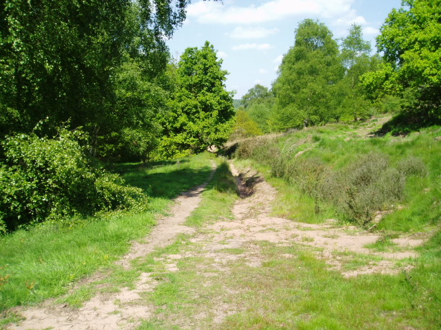
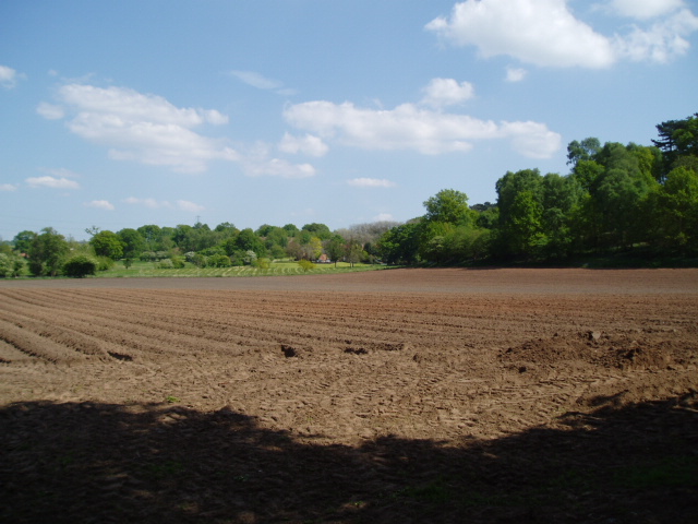
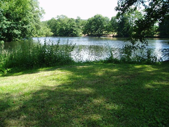
Swan Pool is a picturesque freshwater marsh located in Worcestershire, England. Covering an area of approximately 5 acres, this enchanting pool is nestled amidst lush greenery and offers a tranquil escape from the bustling city life.
The pool is home to a diverse range of wildlife, making it a popular destination for nature lovers and birdwatchers. The most prominent residents of Swan Pool are the elegant and graceful swans, from which the pool derives its name. These majestic creatures can often be seen gliding gracefully across the calm waters, creating a truly mesmerizing sight.
Surrounding the pool is a rich variety of flora, including reeds, rushes, and water lilies, which provide a perfect habitat for numerous aquatic species. The pool also serves as a vital breeding ground for many amphibians and insects, contributing to the overall ecological balance of the area.
Visitors can enjoy leisurely strolls along the well-maintained pathways that encircle the pool, offering panoramic views of the serene surroundings. The pool is also equipped with seating areas and picnic spots, allowing visitors to relax and soak in the peaceful atmosphere.
Facilities such as parking, toilets, and refreshment stands are available nearby, ensuring convenience for visitors. Swan Pool is easily accessible by road, and its location in close proximity to residential areas makes it a popular recreational spot for both locals and tourists alike.
Overall, Swan Pool is a haven of natural beauty and tranquility, offering a unique opportunity to connect with nature and witness the harmonious coexistence of various species in a carefully preserved ecosystem.
If you have any feedback on the listing, please let us know in the comments section below.
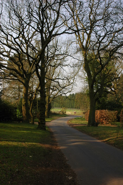
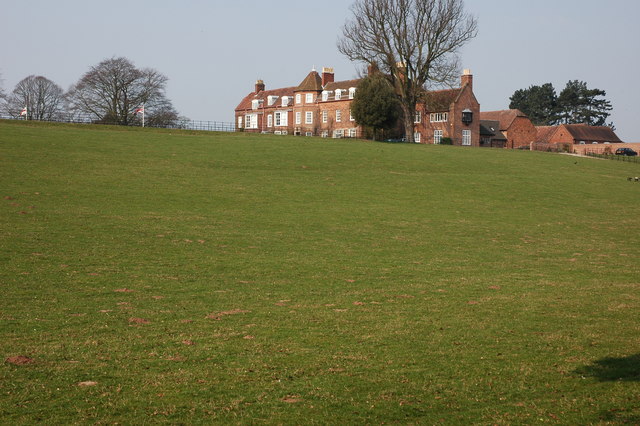
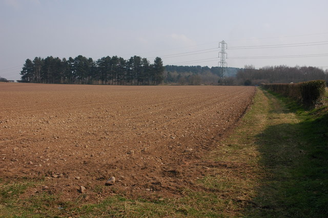
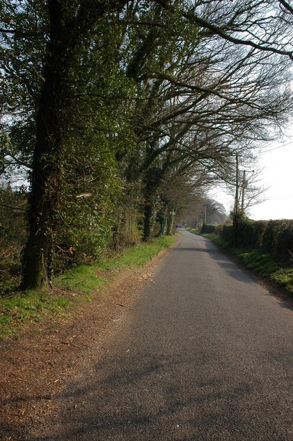
Swan Pool Images
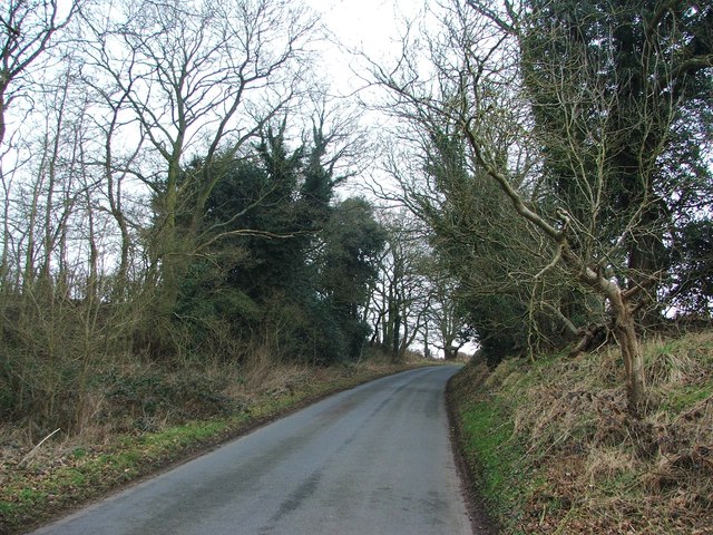
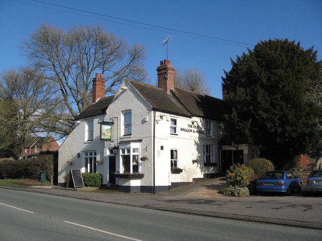
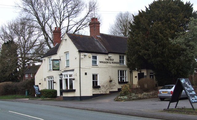
Images are sourced within 2km of 52.402041/-2.1815072 or Grid Reference SO8778. Thanks to Geograph Open Source API. All images are credited.


Swan Pool is located at Grid Ref: SO8778 (Lat: 52.402041, Lng: -2.1815072)
Administrative County: Worcestershire
District: Wyre Forest
Police Authority: West Mercia
What 3 Words
///downturn.hourglass.arching. Near Hagley, Worcestershire
Nearby Locations
Related Wikis

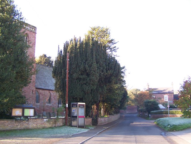
Blakedown
Blakedown is a village in the Wyre Forest District lying along the A456 in the north of the county of Worcestershire, England. Following enclosures and...

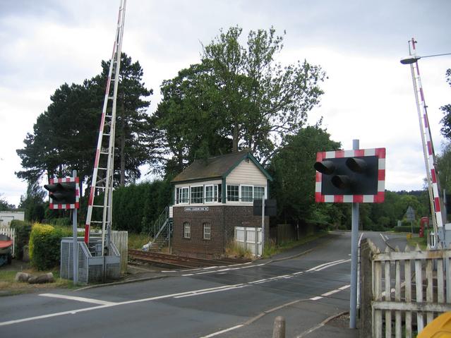
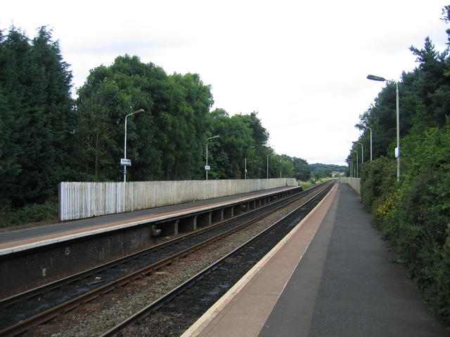
Blakedown railway station
Blakedown railway station serves the English village of Blakedown, Worcestershire. It was opened as Churchill in 1852, later becoming known for a time...
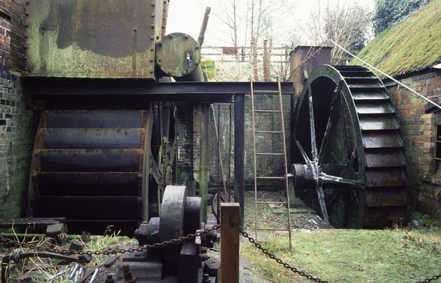
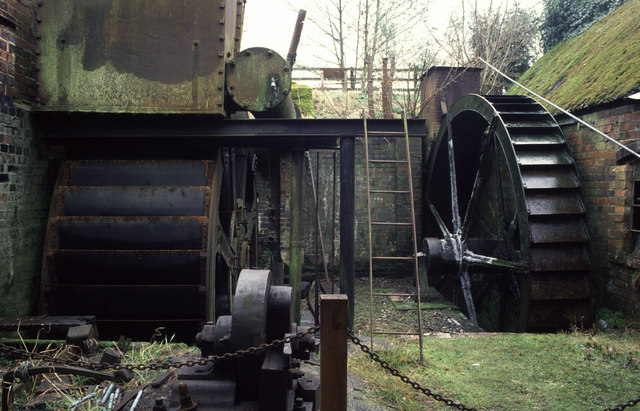
Churchill Forge Mill
Churchill Forge Mill, situated in the Worcestershire village of Churchill, is one of the last water-powered forge mills remaining in an intact state in...

Churchill, Wyre Forest
Churchill is a village and former civil parish, now in the parish of Churchill and Blakedown, in the Wyre Forest district of Worcestershire, England. It...
Nearby Amenities
Located within 500m of 52.402041,-2.1815072Have you been to Swan Pool?
Leave your review of Swan Pool below (or comments, questions and feedback).