Churchill and Blakedown
Civil Parish in Worcestershire Wyre Forest
England
Churchill and Blakedown
Churchill and Blakedown is a civil parish located in the county of Worcestershire, England. It is situated approximately 12 miles north of Worcester and 7 miles south of Stourbridge. The parish covers an area of about 5 square miles and is home to a population of around 5,000 residents.
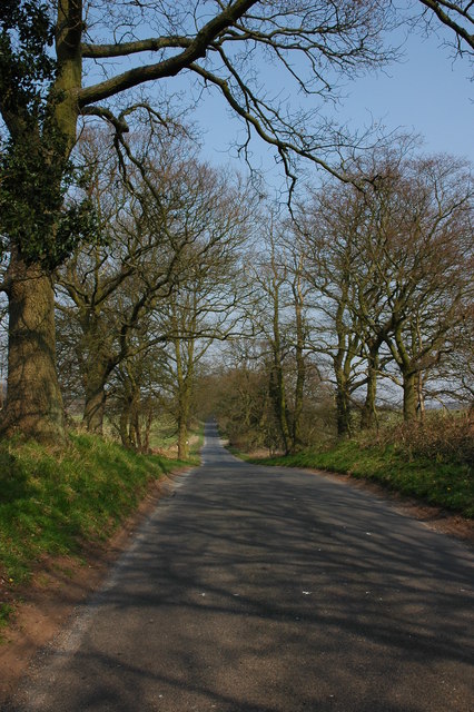
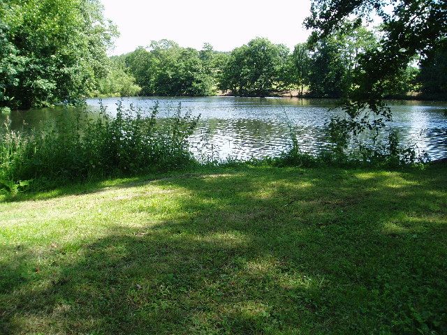
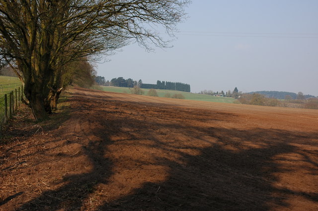
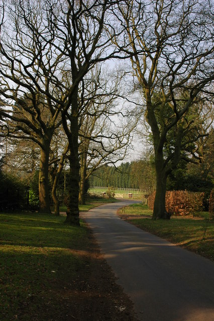
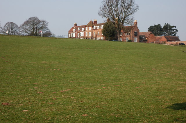
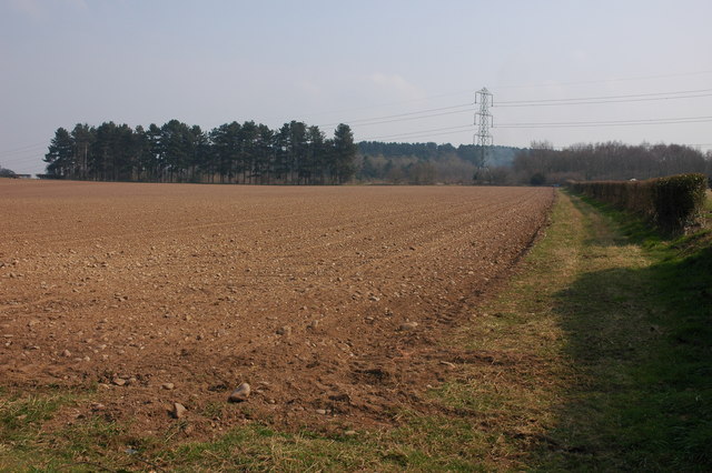
Churchill and Blakedown is known for its picturesque countryside, with rolling hills and charming rural landscapes. The area is characterized by its quintessential English villages, featuring a mix of traditional stone cottages and modern houses. The parish is surrounded by green fields, woodlands, and meandering streams, providing opportunities for outdoor activities such as walking, cycling, and fishing.
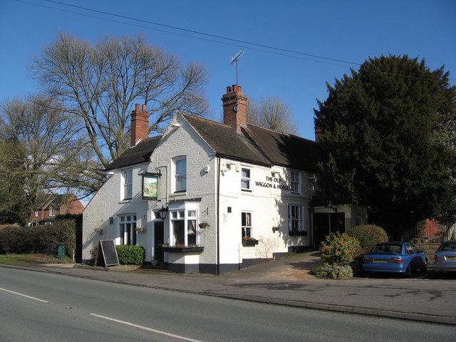
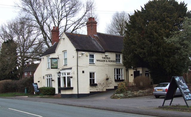
The village of Churchill is the administrative center of the parish, hosting the local parish council and some essential amenities. It boasts a village shop, post office, and a primary school, catering to the needs of the local community. Blakedown, on the other hand, is a smaller village located to the east of Churchill. It is known for its railway station, which provides convenient transportation links to nearby towns and cities.
The area has a rich history, with Churchill being mentioned in the Domesday Book of 1086. It has retained its historic charm, with several notable buildings and landmarks, including the 18th-century St. James' Church and Churchill Hall, a former manor house now used as a community center.
Overall, Churchill and Blakedown offer a peaceful and idyllic setting, combining the beauty of the Worcestershire countryside with the convenience of nearby urban centers.
If you have any feedback on the listing, please let us know in the comments section below.
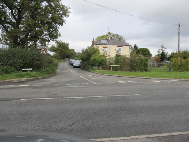
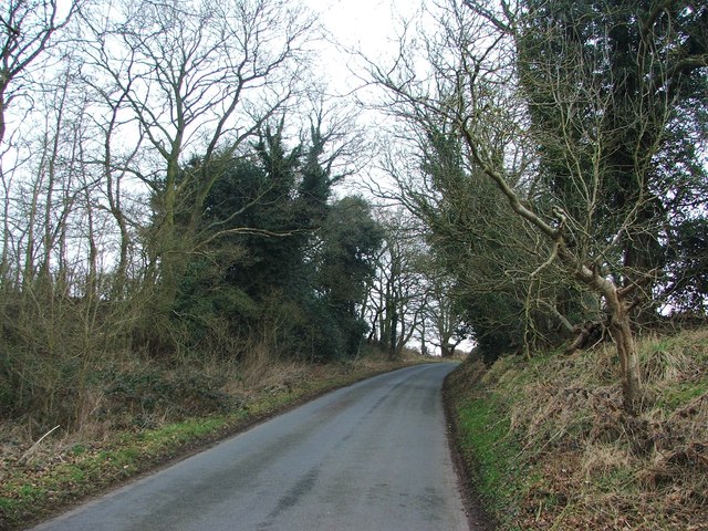
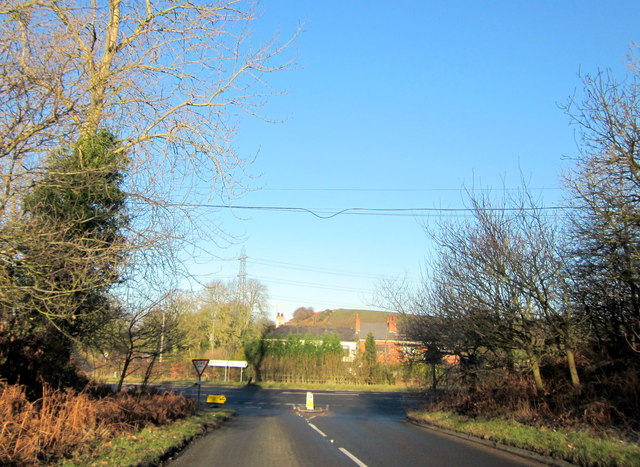
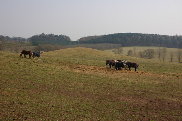
Churchill and Blakedown Images
Images are sourced within 2km of 52.4077/-2.18825 or Grid Reference SO8778. Thanks to Geograph Open Source API. All images are credited.


Churchill and Blakedown is located at Grid Ref: SO8778 (Lat: 52.4077, Lng: -2.18825)
Administrative County: Worcestershire
District: Wyre Forest
Police Authority: West Mercia
What 3 Words
///senders.confining.deduced. Near Hagley, Worcestershire
Nearby Locations
Related Wikis

Blakedown
Blakedown is a village in the Wyre Forest District lying along the A456 in the north of the county of Worcestershire, England. Following enclosures and...

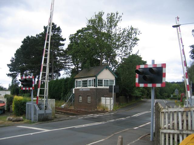
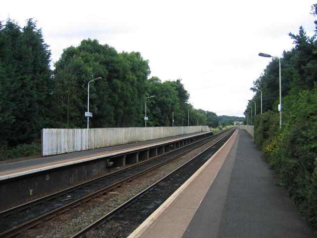
Blakedown railway station
Blakedown railway station serves the English village of Blakedown, Worcestershire. It was opened as Churchill in 1852, later becoming known for a time...
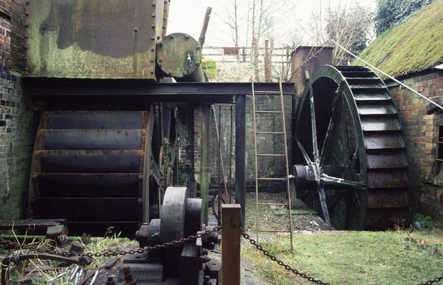
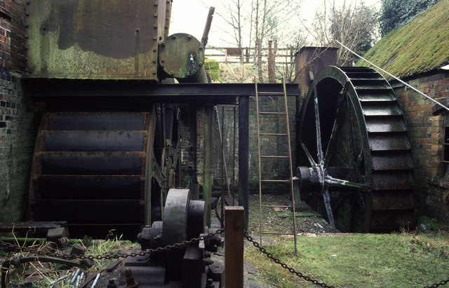
Churchill Forge Mill
Churchill Forge Mill, situated in the Worcestershire village of Churchill, is one of the last water-powered forge mills remaining in an intact state in...

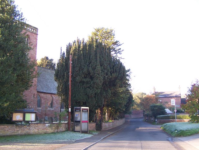
Churchill, Wyre Forest
Churchill is a village and former civil parish, now in the parish of Churchill and Blakedown, in the Wyre Forest district of Worcestershire, England. It...

Axborough
Axborough is a low wooded hill east of Cookley in north Worcestershire, England. == History == Its Saxon name meant hassock grass barrow. This does not...

King's Norton and Northfield Urban District
King's Norton and Northfield Urban District was a local government administrative district in north Worcestershire, England, from 1898 until 1911. Much...

Hackmans Gate
Hackmans Gate is a hamlet in the parish of Broome, and the district of Wyre Forest District of Worcestershire, England.

Iverley
Iverley is an area of the parish of Kinver in Staffordshire that has no road link to the rest of the parish. It is notable as being the most southerly...
Related Videos
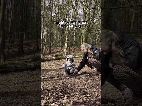
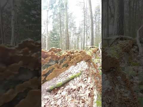
The Unusual Fungus of Hurcot Woods
In this week's episode, we are in Hurcot Woods. Thank you for watching my videos. It's lovely to have you here. If you enjoy my ...

Hurcott Woods - CineMadics
Enjoy my latest cinematic video of a day where me and Joel went down to Hurcott Woods.

Secrets of Cut Throat Lane Blakedown United Kingdom
I take you through the famous Cut Throat Lane in Blakedown, United Kingdom to experience the country side at its best. The lane ...
Nearby Amenities
Located within 500m of 52.4077,-2.18825Have you been to Churchill and Blakedown?
Leave your review of Churchill and Blakedown below (or comments, questions and feedback).