Downs Plantation
Wood, Forest in Worcestershire Wyre Forest
England
Downs Plantation
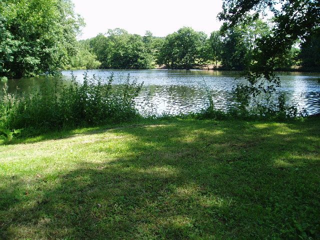
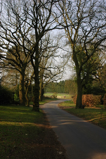
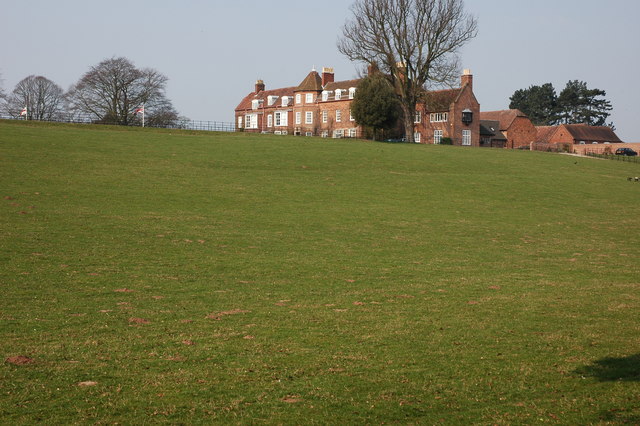
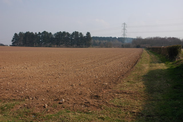
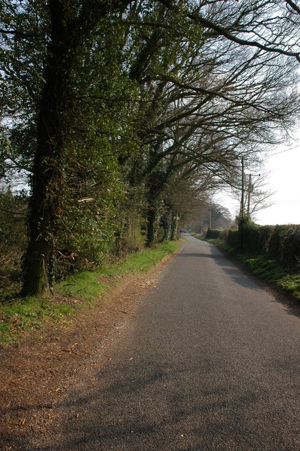
Downs Plantation is located in Worcestershire, England, specifically in the Wood and Forest area. This picturesque plantation covers a vast expanse of land, offering a serene and tranquil environment. The plantation is known for its dense and diverse collection of trees, making it a haven for nature enthusiasts and those seeking solace in nature.
The plantation is home to a variety of tree species, including oak, beech, and ash, among others. These trees create a rich and vibrant ecosystem, attracting a wide range of wildlife, from birds to small mammals. The lush greenery and tall tree canopies provide ample shade and shelter, making this plantation a perfect spot for long walks, picnics, and even birdwatching.
In addition to its natural beauty, Downs Plantation also boasts well-maintained walking trails, allowing visitors to explore the plantation at their own pace. These trails take visitors through different sections of the plantation, showcasing its diverse flora and fauna. There are also designated picnic areas and benches strategically placed throughout the plantation, providing visitors with convenient spots to rest and appreciate the surroundings.
Downs Plantation is a popular destination for locals and tourists alike, attracting visitors throughout the year. Nature lovers, hikers, and families looking for a peaceful retreat often find solace in this charming Worcestershire plantation. Its accessibility, natural beauty, and well-maintained trails make it a must-visit location for anyone seeking a tranquil escape in the heart of nature.
If you have any feedback on the listing, please let us know in the comments section below.
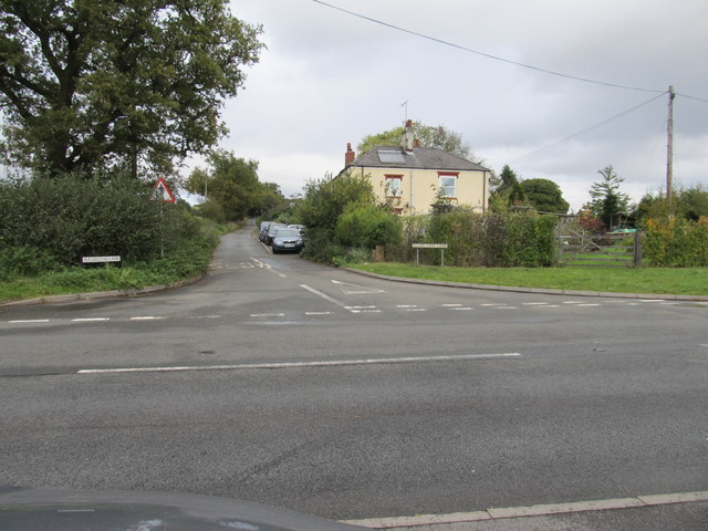
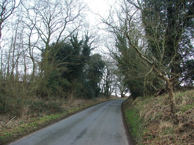
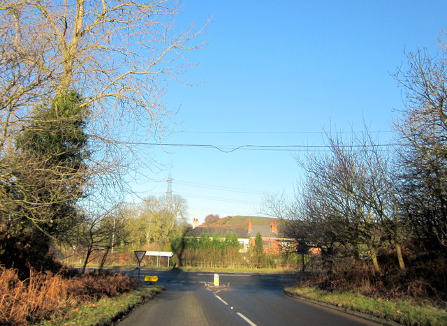
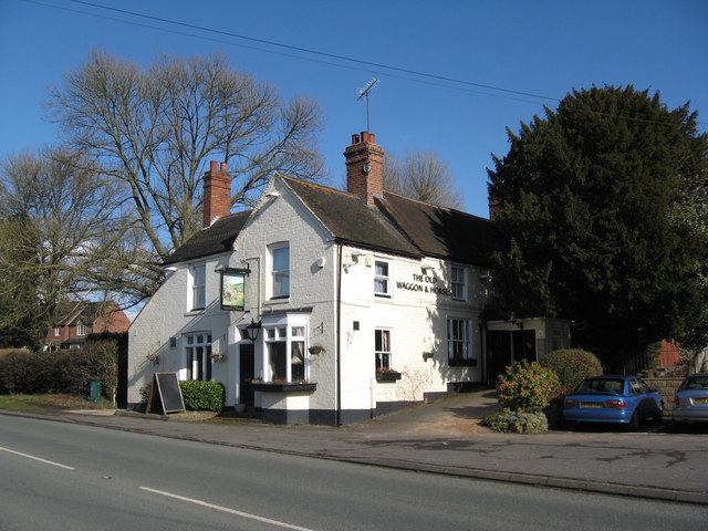
Downs Plantation Images
Images are sourced within 2km of 52.404277/-2.1886748 or Grid Reference SO8778. Thanks to Geograph Open Source API. All images are credited.


Downs Plantation is located at Grid Ref: SO8778 (Lat: 52.404277, Lng: -2.1886748)
Administrative County: Worcestershire
District: Wyre Forest
Police Authority: West Mercia
What 3 Words
///rural.destroyer.capacity. Near Kidderminster, Worcestershire
Nearby Locations
Related Wikis

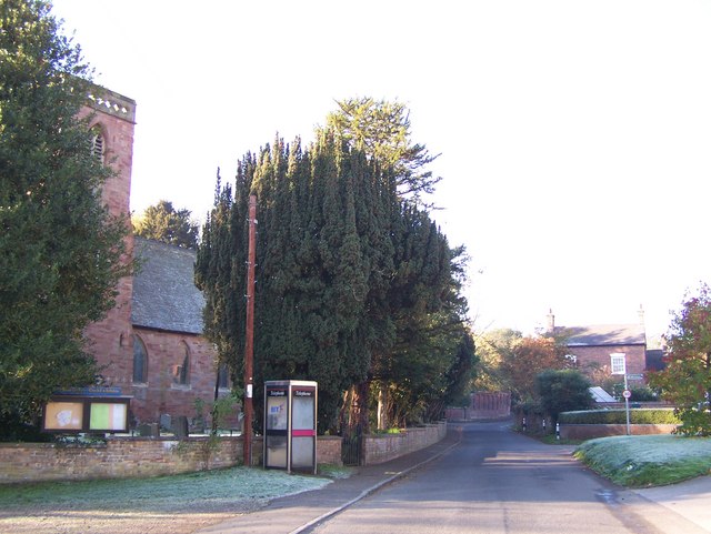
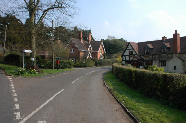
Blakedown
Blakedown is a village in the Wyre Forest District lying along the A456 in the north of the county of Worcestershire, England. Following enclosures and...

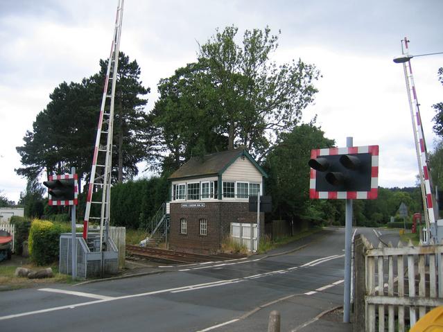
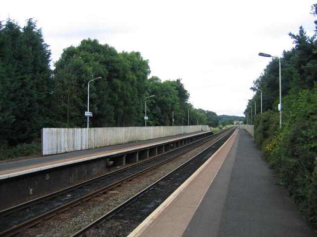
Blakedown railway station
Blakedown railway station serves the English village of Blakedown, Worcestershire. It was opened as Churchill in 1852, later becoming known for a time...
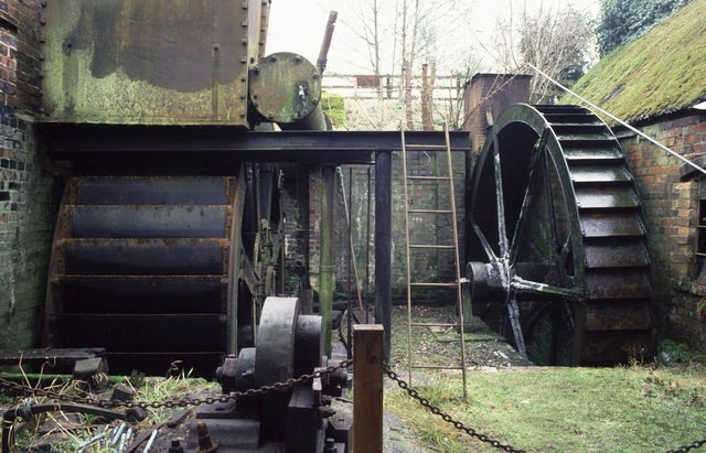
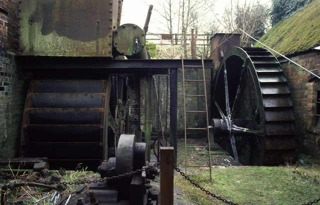
Churchill Forge Mill
Churchill Forge Mill, situated in the Worcestershire village of Churchill, is one of the last water-powered forge mills remaining in an intact state in...

Churchill, Wyre Forest
Churchill is a village and former civil parish, now in the parish of Churchill and Blakedown, in the Wyre Forest district of Worcestershire, England. It...

Axborough
Axborough is a low wooded hill east of Cookley in north Worcestershire, England. == History == Its Saxon name meant hassock grass barrow. This does not...

Hackmans Gate
Hackmans Gate is a hamlet in the parish of Broome, and the district of Wyre Forest District of Worcestershire, England.

King's Norton and Northfield Urban District
King's Norton and Northfield Urban District was a local government administrative district in north Worcestershire, England, from 1898 until 1911. Much...
Broome, Worcestershire
Broome is a village and civil parish in the Wyre Forest District of Worcestershire, England. According to the 2001 census it had a population of 338. The...
Nearby Amenities
Located within 500m of 52.404277,-2.1886748Have you been to Downs Plantation?
Leave your review of Downs Plantation below (or comments, questions and feedback).