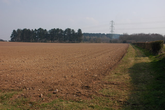
Forge Pond
Lake, Pool, Pond, Freshwater Marsh in Worcestershire Wyre Forest
England
Forge Pond
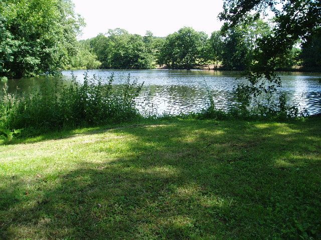
Forge Pond is a picturesque freshwater body located in the county of Worcestershire, England. Spanning an area of approximately 10 acres, this tranquil pond is nestled amidst the idyllic countryside, surrounded by lush greenery and rolling hills. With its serene ambiance and abundant natural beauty, Forge Pond is a popular destination among locals and tourists alike.
The pond boasts crystal-clear waters that shimmer under the sunlight, enhancing its allure. Its origin can be traced back to ancient times, when it was formed as a result of glacial activity during the last Ice Age. Over the years, Forge Pond has evolved into a haven for various species of plants and animals, making it an important ecological site.
The pond serves as a vital habitat for a diverse range of aquatic life, including several species of fish, amphibians, and waterfowl. The surrounding marshland provides a nurturing environment for wetland plants, such as reeds and cattails, which thrive in the nutrient-rich soil.
Visitors to Forge Pond can engage in a variety of recreational activities, including fishing and birdwatching. The pond is renowned for its angling opportunities, with anglers frequently catching species such as perch, pike, and carp. The tranquil atmosphere also makes it an ideal spot for birdwatchers, who can observe a plethora of bird species, including swans, ducks, and herons.
Forge Pond offers a peaceful retreat from the hustle and bustle of everyday life, allowing visitors to immerse themselves in nature's beauty. Its pristine waters, diverse wildlife, and scenic surroundings make it a must-visit destination for nature enthusiasts and those seeking a tranquil getaway in Worcestershire.
If you have any feedback on the listing, please let us know in the comments section below.
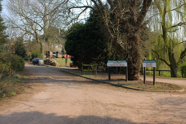
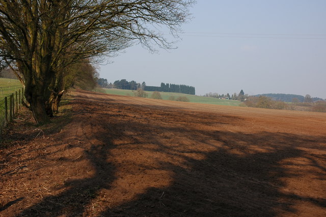
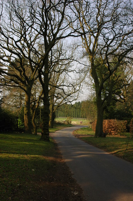
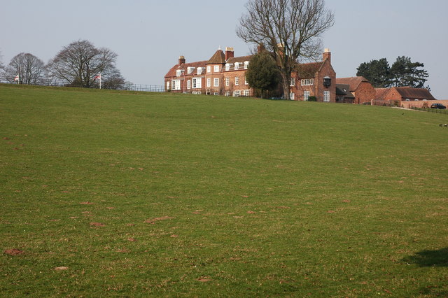
Forge Pond Images
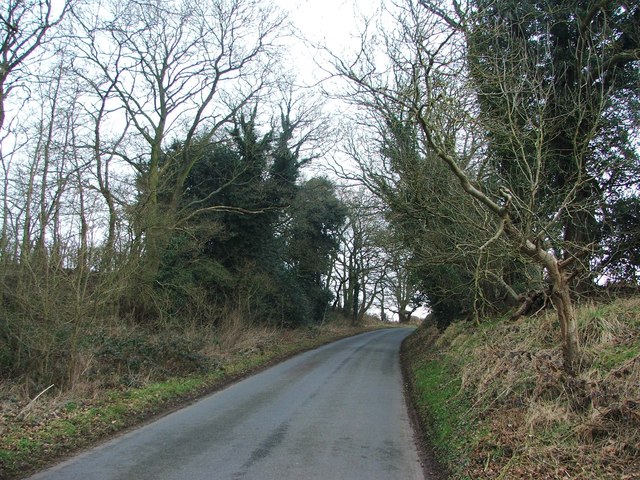
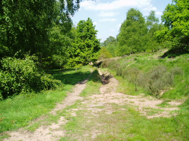
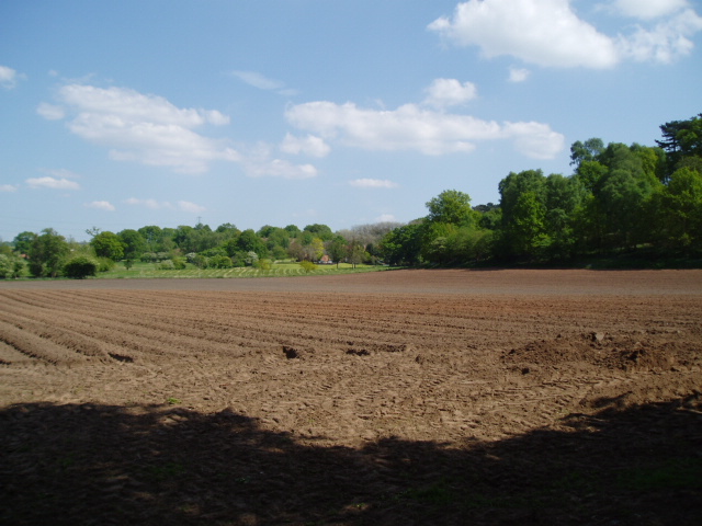
Images are sourced within 2km of 52.401237/-2.1778295 or Grid Reference SO8778. Thanks to Geograph Open Source API. All images are credited.


Forge Pond is located at Grid Ref: SO8778 (Lat: 52.401237, Lng: -2.1778295)
Administrative County: Worcestershire
District: Wyre Forest
Police Authority: West Mercia
What 3 Words
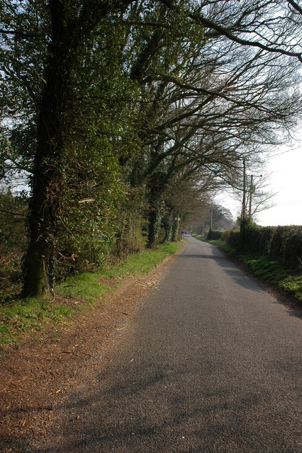
///poppy.tightest.removing. Near Belbroughton, Worcestershire
Nearby Locations
Related Wikis

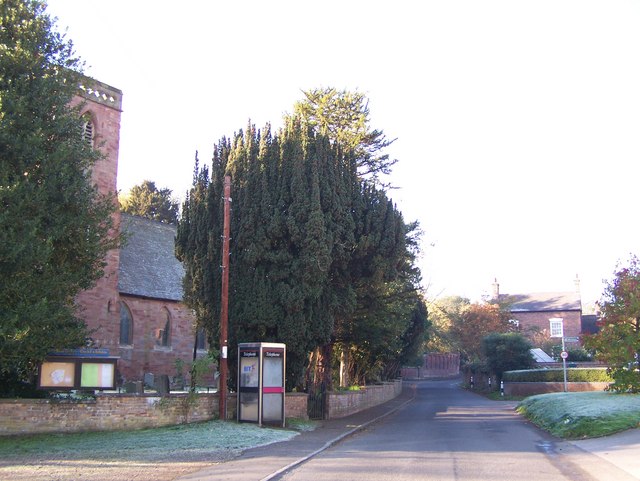
Blakedown
Blakedown is a village in the Wyre Forest District lying along the A456 in the north of the county of Worcestershire, England. Following enclosures and...

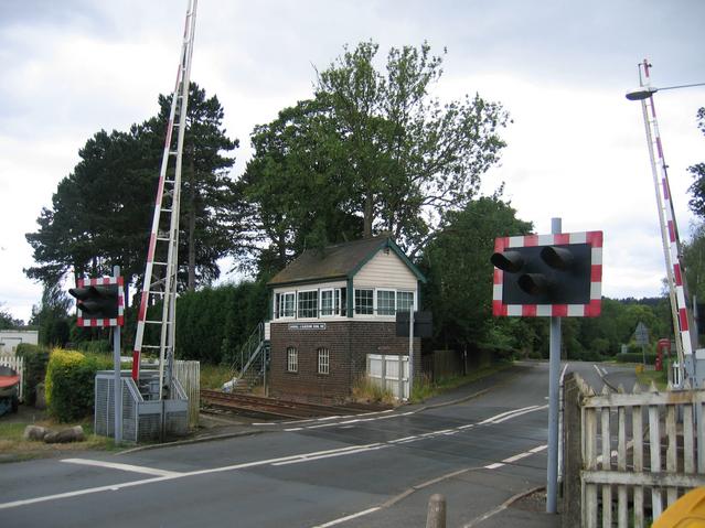
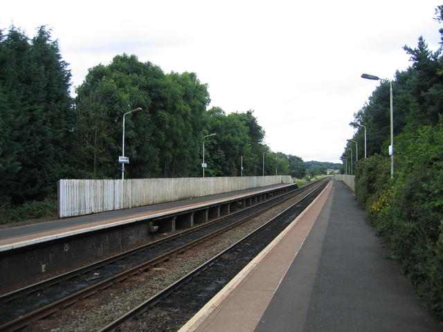
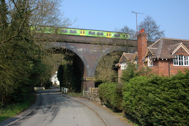
Blakedown railway station
Blakedown railway station serves the English village of Blakedown, Worcestershire. It was opened as Churchill in 1852, later becoming known for a time...

Hackmans Gate
Hackmans Gate is a hamlet in the parish of Broome, and the district of Wyre Forest District of Worcestershire, England.
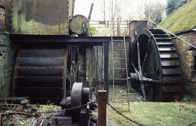
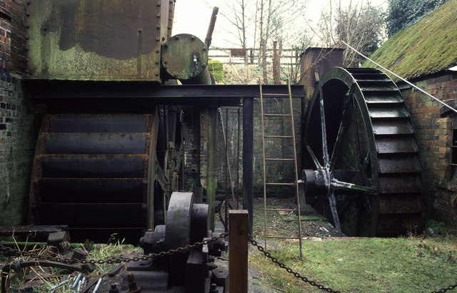
Churchill Forge Mill
Churchill Forge Mill, situated in the Worcestershire village of Churchill, is one of the last water-powered forge mills remaining in an intact state in...
Nearby Amenities
Located within 500m of 52.401237,-2.1778295Have you been to Forge Pond?
Leave your review of Forge Pond below (or comments, questions and feedback).