Cowm Reservoir

Lake, Pool, Pond, Freshwater Marsh in Lancashire Rossendale

England

Cowm Reservoir

Former Shawforth Station Subway Steps Steps leading up to what is now Knowsley Crescent housing
Former Shawforth Station Subway Steps Credit: Kevin Waterhouse

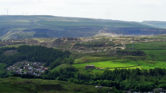
Cowm Reservoir is a man-made freshwater reservoir located in the county of Lancashire, England. It covers an area of approximately 60 acres and serves as an important water supply for the nearby towns and villages. The reservoir was created in the late 19th century by constructing a dam across the Cowm Brook, which flows through the area.

As a result of its construction, Cowm Reservoir has become a picturesque lake nestled amidst the rolling hills of the Pennines. Its calm and tranquil waters attract visitors who enjoy activities such as fishing, boating, and birdwatching. The reservoir is home to a variety of fish species, including trout and carp, making it a popular spot for anglers.

Surrounding the reservoir, there are also areas of fresh water marsh and wetland, providing a habitat for a diverse range of plant and animal species. These wetland areas are particularly important for breeding and nesting birds, attracting species such as mallards, coots, and herons. The surrounding vegetation includes reeds, grasses, and water lilies, adding to the natural beauty of the site.

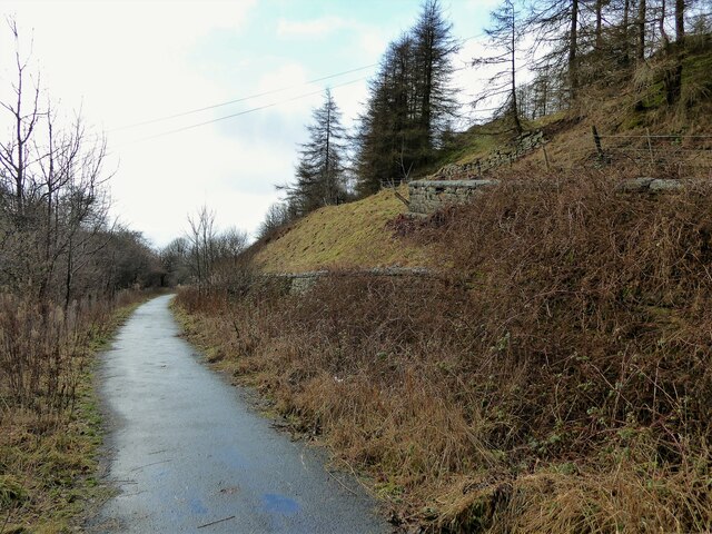
Cowm Reservoir offers a peaceful escape from the hustle and bustle of urban life, with its scenic surroundings and abundant wildlife. It is a designated Site of Special Scientific Interest (SSSI), acknowledging its ecological significance and conservation value. The reservoir is open to the public, and visitors can enjoy leisurely walks along its shores, taking in the stunning views and immersing themselves in the tranquility of this natural haven.

If you have any feedback on the listing, please let us know in the comments section below.

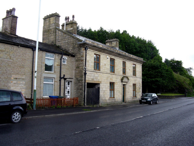
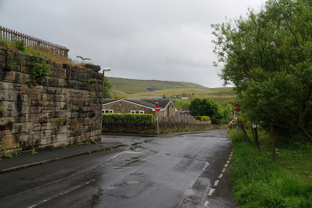
Cowm Reservoir Images

Images are sourced within 2km of 53.667159/-2.1828957 or Grid Reference SD8818. Thanks to Geograph Open Source API. All images are credited.

Former Shawforth Station Subway Steps Steps leading up to what is now Knowsley Crescent housing
Former Shawforth Station Subway Steps
Steps leading up to what is now Knowsley Crescent housing
Access Track from Cowm Street to Former Railway Crossing Track up to what appears to be a former level crossing on the Rochdale-Bacup Railway
Access Track from Cowm Street to Former Railway Crossing
Track up to what appears to be a former level crossing on the Rochdale-Bacup Railway
Former Britannia Quarry Railway Trackbed View South across Stubbylee Moss with current quarrying activity beyond in what was Britannia Quarry, but always over the border in Whitworth.
Former Britannia Quarry Railway Trackbed
View South across Stubbylee Moss with current quarrying activity beyond in what was Britannia Quarry, but always over the border in Whitworth.
Britannia Quarry  - Stripping the Coal Seam Western most workings on Holden Moor where about 20 feet of overlay is removed to reveal a coal seam which appears to run horizontal at this point.
Britannia Quarry - Stripping the Coal Seam
Western most workings on Holden Moor where about 20 feet of overlay is removed to reveal a coal seam which appears to run horizontal at this point.
Mast and Pylon at Facit Quarry With the active Britannia Quarry beyond, viewed from Hades Hill
Mast and Pylon at Facit Quarry
With the active Britannia Quarry beyond, viewed from Hades Hill
Former railway trackbed The Rochdale to Bacup branch line was cut into the hillside around Cowm. Now used as a cycle path.
Former railway trackbed
The Rochdale to Bacup branch line was cut into the hillside around Cowm. Now used as a cycle path.
Boundary Stone on Jackson's Moor There is evidence here of a previous moorland fire. Whilst the underlying ground is still damp, the surface could ignite again very easily.
Boundary Stone on Jackson's Moor
There is evidence here of a previous moorland fire. Whilst the underlying ground is still damp, the surface could ignite again very easily.
Britannia Quarry The quarry has grown a bit in its north western corner. I got an unpleasant plastic taste in my mouth from being near here and wonder what was in the air.
Britannia Quarry
The quarry has grown a bit in its north western corner. I got an unpleasant plastic taste in my mouth from being near here and wonder what was in the air.
Shawforth:  Methodist Chapel
Shawforth: Methodist Chapel
Shawforth:  Moss Side Street The houses are numbered consecutively 3 to 13.
Shawforth: Moss Side Street
The houses are numbered consecutively 3 to 13.
Shawforth:  Moss Side Street There are only these three doors on this side of Moss Side Street:  The middle door has a '1' on it, the other two have no numbers. Where No 2 is, is anybody's guess.  Numbers 3 to 13, consecutive, are on the other side of the street.
Shawforth: Moss Side Street
There are only these three doors on this side of Moss Side Street: The middle door has a '1' on it, the other two have no numbers. Where No 2 is, is anybody's guess. Numbers 3 to 13, consecutive, are on the other side of the street.
Shawforth:  Former 'Red Lion' This former pub is now just plain 232 Market Street, but its former name is perpetuated by the bus stop - 'Red Lion, Shawforth'.
Shawforth: Former 'Red Lion'
This former pub is now just plain 232 Market Street, but its former name is perpetuated by the bus stop - 'Red Lion, Shawforth'.
Track and path off Oak Street The track is just an entrance to Cowm Farm. The path goes up the hill to the left from the track junction. It was my intended route but I found that it was closed due to a dangerous section of quarry. The quarry has possibly swallowed it up as it has already done to other paths.
Track and path off Oak Street
The track is just an entrance to Cowm Farm. The path goes up the hill to the left from the track junction. It was my intended route but I found that it was closed due to a dangerous section of quarry. The quarry has possibly swallowed it up as it has already done to other paths.
Path along a former railway track The Shawforth chimney is ahead.
Path along a former railway track
The Shawforth chimney is ahead.
Old Lane, Shawforth Part of the one-way system, where you have to turn left. A former railway bridge crossed the road here.
Old Lane, Shawforth
Part of the one-way system, where you have to turn left. A former railway bridge crossed the road here.
Path to Whitworth Higher End Moor The evidence of quarrying is everywhere.
Path to Whitworth Higher End Moor
The evidence of quarrying is everywhere.
Path down to Shawforth From both sides of the Spodden valley, it is only the new housing in Shawforth which really stands out. The older buildings are hidden in the valley bottom.
Path down to Shawforth
From both sides of the Spodden valley, it is only the new housing in Shawforth which really stands out. The older buildings are hidden in the valley bottom.
Piles of stones near Britannia Quarries Some of these predate the quarry, which is nevertheless continually swallowing up more ground. I presume there was just a wall here, but there could have been a building.
Piles of stones near Britannia Quarries
Some of these predate the quarry, which is nevertheless continually swallowing up more ground. I presume there was just a wall here, but there could have been a building.
Show me another place!

Cowm Reservoir is located at Grid Ref: SD8818 (Lat: 53.667159, Lng: -2.1828957)

Administrative County: Lancashire

District: Rossendale

Police Authority: Lancashire

What 3 Words

///aimless.adhesive.conqueror. Near Whitworth, Lancashire

Nearby Locations

Cowm Reservoir Whitworth

Related Wikis

Whitworth, Lancashire

Whitworth is a town and civil parish in Rossendale, Lancashire, England, amongst the foothills of the Pennines between Bacup, to the north, and Rochdale...

Facit railway station

Facit railway station served Facit near Whitworth, Rossendale, Lancashire, England, from 1870 until closure to passengers in 1947 and freight in 1963....

Whitworth railway station

Whitworth railway station served the town of Whitworth, Rossendale, Lancashire, England, from 1870 until closure in 1947. == References == Lost Railways...

Shawforth railway station

Shawforth railway station served Shawforth near Bacup, Rossendale, Lancashire, England, from 1881 until closure in 1947. == References == Suggitt, Gordon...

Nearby Amenities

Located within 500m of 53.667159,-2.1828957
Turning Circle
Maxspeed: 20 mph
Lat/Long: 53.6631415/-2.1794747
Power: tower
Lat/Long: 53.6668123/-2.1848102
Power: tower
Lat/Long: 53.6713538/-2.1819778
Power: pole
Lat/Long: 53.6630687/-2.1816681
Power: pole
Lat/Long: 53.6632559/-2.1800322
Power: pole
Lat/Long: 53.6642421/-2.1793901
Power: pole
Lat/Long: 53.6645722/-2.1785603
Power: pole
Lat/Long: 53.6651501/-2.1773472
Power: pole
Lat/Long: 53.6657173/-2.1765515
Power: pole
Lat/Long: 53.6665304/-2.1755204
Power: pole
Lat/Long: 53.6705135/-2.1780212
Power: pole
Lat/Long: 53.6700562/-2.1773572
Power: pole
Lat/Long: 53.6694756/-2.176612
The data included in this document is from www.openstreetmap.org. The data is made available under ODbL.

Have you been to Cowm Reservoir?

Leave your review of Cowm Reservoir below (or comments, questions and feedback).