Churchill
Civil Parish in Worcestershire Wychavon
England
Churchill
Churchill is a civil parish located in the county of Worcestershire, England. Situated in the West Midlands region, it is part of the administrative district of Wyre Forest. The parish covers an area of approximately 5 square kilometers and is home to a population of around 1,200 residents.
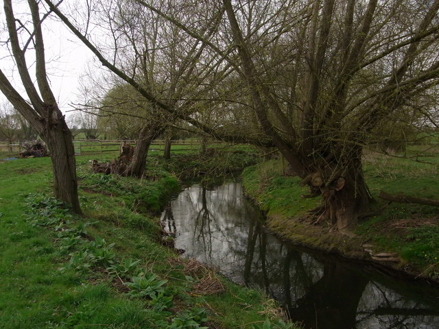
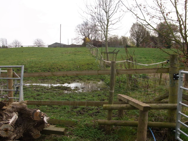
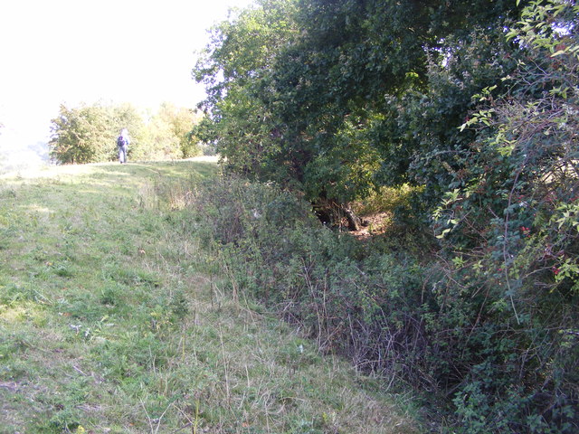
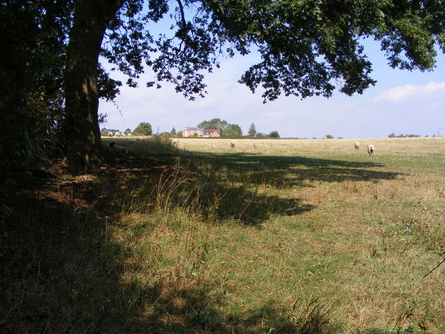
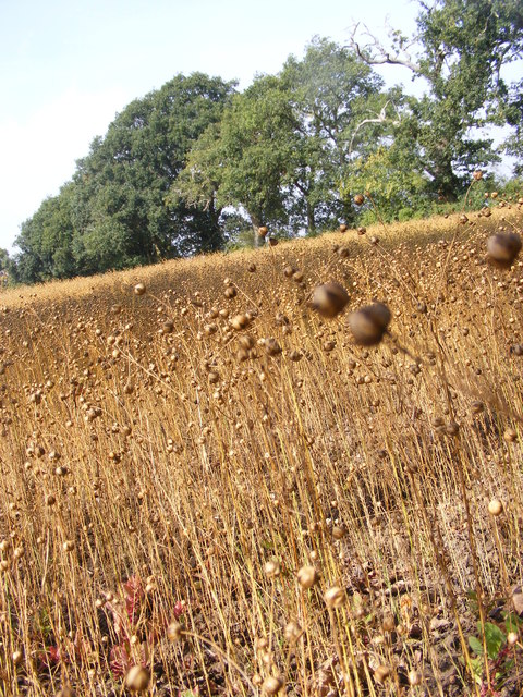
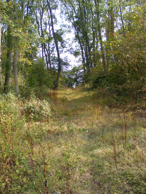
The village of Churchill is nestled in a picturesque rural setting, surrounded by rolling hills and lush green fields. It is characterized by its quaint and charming atmosphere, with many traditional cottages and buildings that reflect its long history.
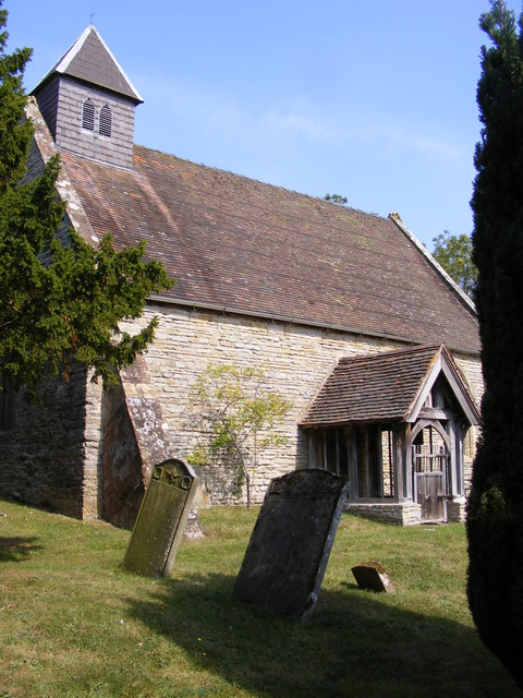
The centerpiece of the parish is the 12th-century St. Michael's Church, which stands proudly at the heart of the village. This historic church is renowned for its stunning architecture and beautiful stained glass windows, attracting visitors from far and wide.
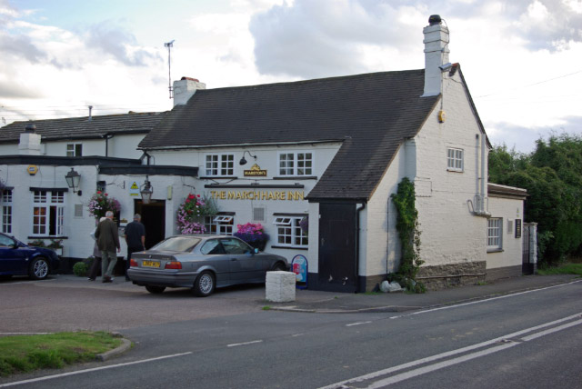
Churchill offers a range of amenities and services to its residents. These include a primary school, a village hall, a post office, and a local pub, providing a focal point for the community to socialize and gather.
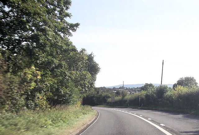
The parish is also well-connected to the wider region, with good transport links to nearby towns and cities. The M5 motorway is easily accessible, providing convenient access to Birmingham, Worcester, and other major urban centers.
Overall, Churchill, Worcestershire is a charming and idyllic village, rich in history and natural beauty. Its close-knit community and rural setting make it an attractive place to live for those seeking a peaceful and picturesque lifestyle.
If you have any feedback on the listing, please let us know in the comments section below.
Churchill Images
Images are sourced within 2km of 52.180441/-2.117102 or Grid Reference SO9253. Thanks to Geograph Open Source API. All images are credited.


Churchill is located at Grid Ref: SO9253 (Lat: 52.180441, Lng: -2.117102)
Administrative County: Worcestershire
District: Wychavon
Police Authority: West Mercia
What 3 Words
///frowns.meatball.commented. Near Kington, Worcestershire
Nearby Locations
Related Wikis

Churchill, Wychavon
Churchill or Churchill by Spetchley is a village and civil parish 4 miles (6.4 km) from Worcester, in the Wychavon district, in the county of Worcestershire...
St Michael's Church, Churchill
St Michael's Church is a redundant Anglican church in the village of Churchill in Oswaldslow, Worcestershire, England. It is recorded in the National...

St John the Baptist, White Ladies Aston
St John the Baptist is a church in White Ladies Aston, Worcestershire, England. It has been designated as a Grade II* listed building by Historic England...
Broughton Hackett
Broughton Hackett is a village and civil parish in the Wychavon district of the county of Worcestershire, England. It is about 5 miles east of the city...
White Ladies Aston
White Ladies Aston is a village in the Wychavon local government district of Worcestershire, England, United Kingdom, and also lends its name to the civil...

A422 road
The A422 is an "A" road for east–west journeys in south central England, connecting the county towns of Bedford and Worcester by way of Milton Keynes,...
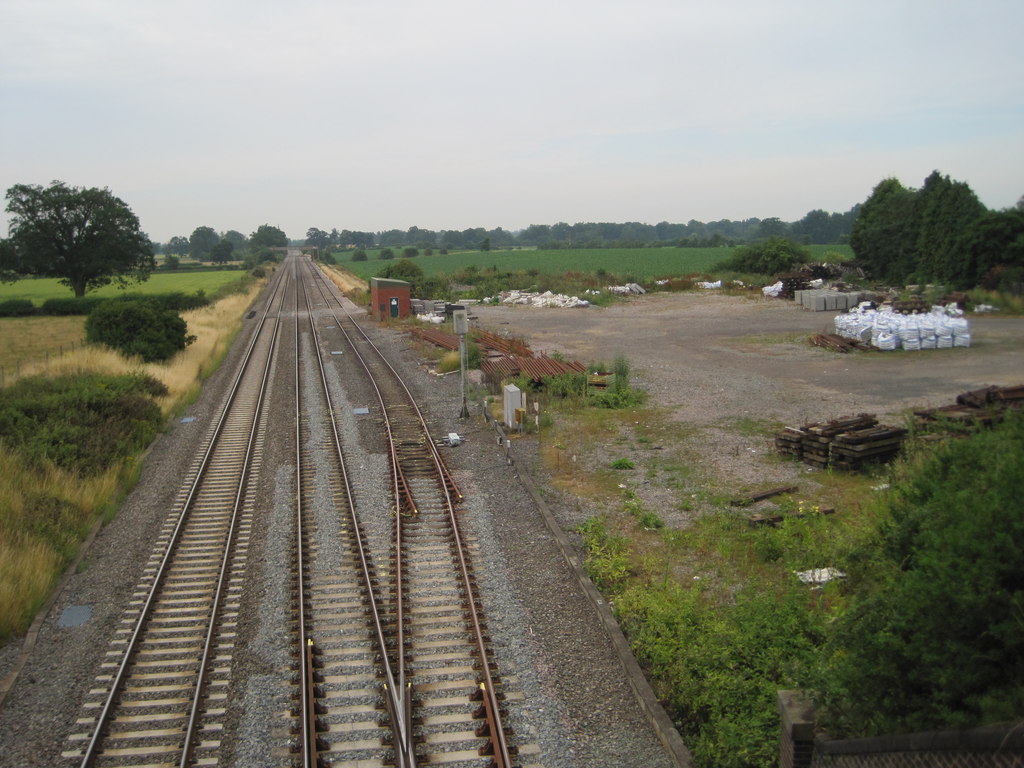
Spetchley railway station
Spetchley railway station was an intermediate stop on the Birmingham and Gloucester Railway, opened in 1840. Besides the village of Spetchley, it served...

Bredicot railway station
Bredicot railway station served the village of Bredicot, Worcestershire, England, from 1845 to 1855 on the Birmingham and Gloucester Railway. == History... ==
Nearby Amenities
Located within 500m of 52.180441,-2.117102Have you been to Churchill?
Leave your review of Churchill below (or comments, questions and feedback).