Blakebrook

Settlement in Worcestershire Wyre Forest

England

Blakebrook

Caldwall Bridge, Staffs.& Worcs. Canal Caldwall Lock has a split iron bridge to accommodate the rope in days of horse-drawn narrowboats. The sandstone cliff behind the lock is geologically interesting, being the southern tip of a bed of similar rock which stretches some 15 miles north. The picture was taken from grid reference SO 82765 75549.
Caldwall Bridge, Staffs.& Worcs. Canal Credit: Martyn B

Blakebrook is a small residential area located in the district of Kidderminster, Worcestershire, England. Situated on the eastern outskirts of the town, it forms part of the Wyre Forest parliamentary constituency. Blakebrook is predominantly a residential area, known for its peaceful ambiance and close-knit community.

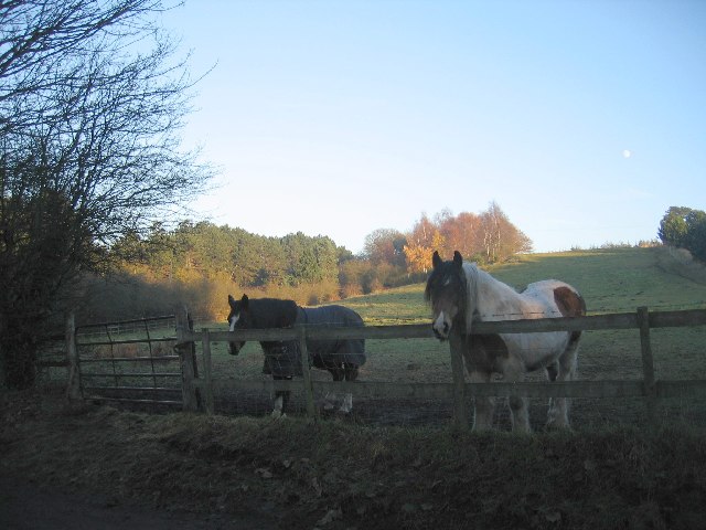
The area offers a range of housing options, including detached houses, semi-detached properties, and flats, providing a diverse selection for residents. There are also several green spaces and parks within the vicinity, offering recreational opportunities for both children and adults.

Blakebrook benefits from its proximity to Kidderminster, a bustling market town with a rich industrial heritage. The town center is just a short distance away, offering a wide range of amenities such as shops, supermarkets, restaurants, and entertainment venues.

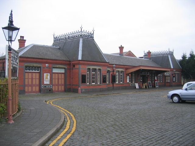
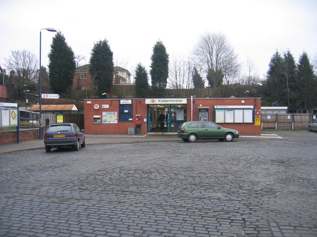
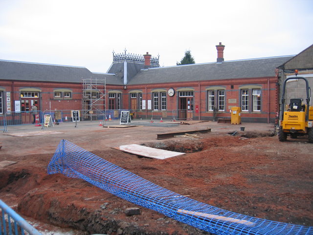
Transport links in Blakebrook are excellent, with easy access to major road networks including the A449 and M5 motorway, providing convenient connections to nearby towns and cities. Kidderminster railway station is also close by, offering regular services to Birmingham, Worcester, and other destinations.

Education is well catered for in the area, with a number of primary and secondary schools located nearby. The Worcestershire Health and Care NHS Trust operates the Kidderminster Hospital and Treatment Centre, which provides healthcare services to the local community.

Overall, Blakebrook offers a pleasant and convenient place to live, combining the tranquility of a residential area with the amenities and opportunities of a nearby town.

If you have any feedback on the listing, please let us know in the comments section below.
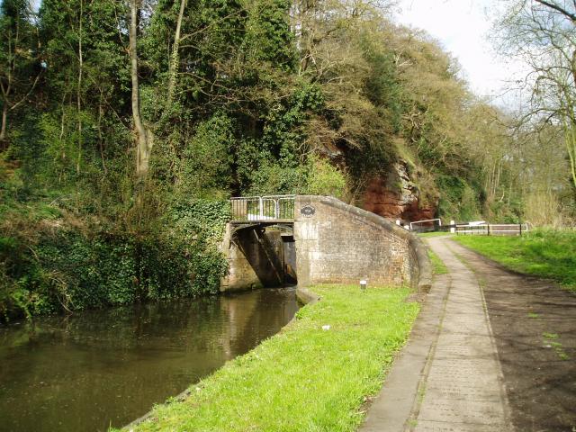
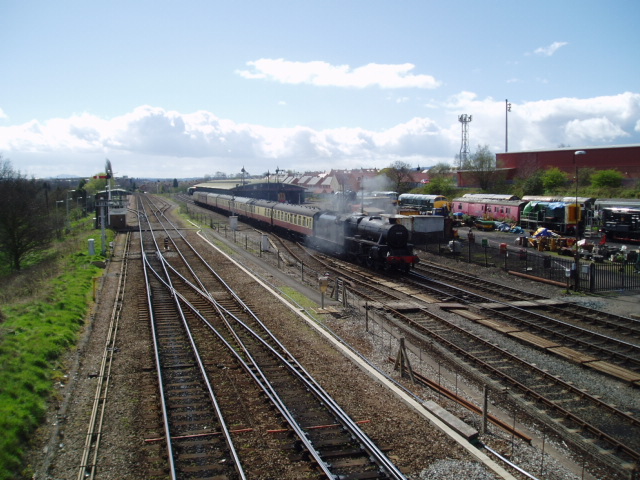
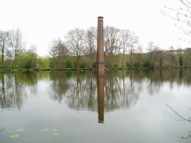
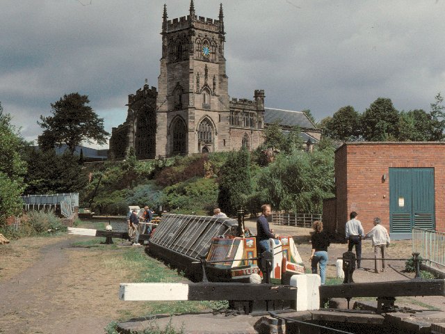
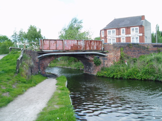
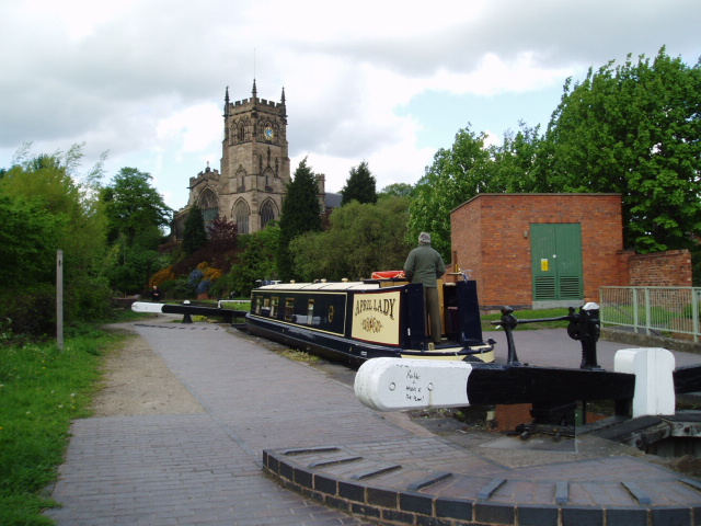
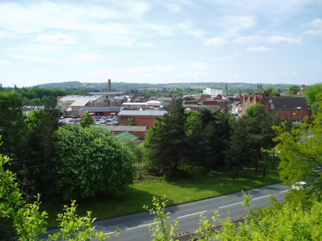
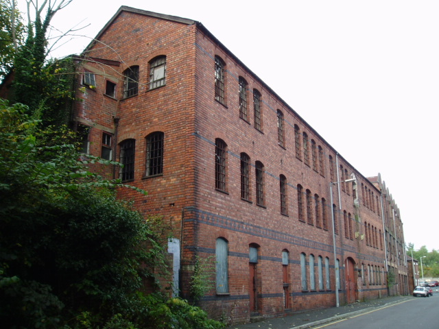
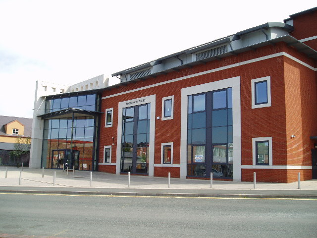
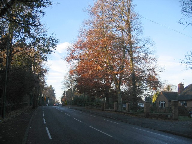
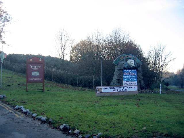
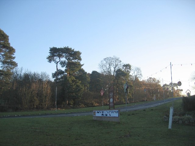
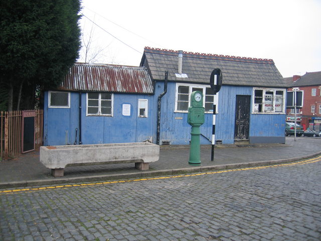
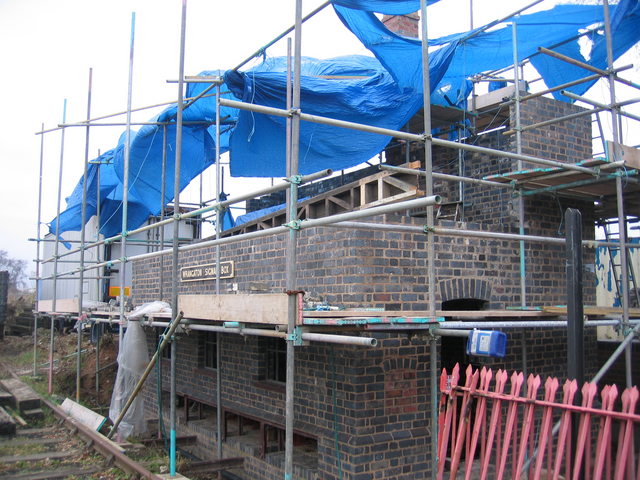
Blakebrook Images

Images are sourced within 2km of 52.38899/-2.263874 or Grid Reference SO8276. Thanks to Geograph Open Source API. All images are credited.

Caldwall Bridge, Staffs.& Worcs. Canal Caldwall Lock has a split iron bridge to accommodate the rope in days of horse-drawn narrowboats. The sandstone cliff behind the lock is geologically interesting, being the southern tip of a bed of similar rock which stretches some 15 miles north. The picture was taken from grid reference SO 82765 75549.
Caldwall Bridge, Staffs.& Worcs. Canal
Caldwall Lock has a split iron bridge to accommodate the rope in days of horse-drawn narrowboats. The sandstone cliff behind the lock is geologically interesting, being the southern tip of a bed of similar rock which stretches some 15 miles north. The picture was taken from grid reference SO 82765 75549.
Severn Valley & mainline railways, Kidderminster Looking South from the footbridge at SO 83727 75926, a steam train slowly makes its way along the last few hundred metres into the Severn Valley railway station in Kidderminster. On the left is the main line between Kidderminster & Worcester. Towards the top right of the picture is the back of the stand at Kidderminster Harriers Football Club.
Severn Valley & mainline railways, Kidderminster
Looking South from the footbridge at SO 83727 75926, a steam train slowly makes its way along the last few hundred metres into the Severn Valley railway station in Kidderminster. On the left is the main line between Kidderminster & Worcester. Towards the top right of the picture is the back of the stand at Kidderminster Harriers Football Club.
Stack Pool, Kidderminster The chimney built at the edge of the pool can be identified on the 1:25,000 map as the small dot on the north bank of the main pool. Picture taken from SO 83389 77754.
Stack Pool, Kidderminster
The chimney built at the edge of the pool can be identified on the 1:25,000 map as the small dot on the north bank of the main pool. Picture taken from SO 83389 77754.
Kidderminster Kidderminster Lock on the Staffordshire and Worcestershire Canal.
Kidderminster
Kidderminster Lock on the Staffordshire and Worcestershire Canal.
Limekiln Bridge, Staffs & Worcs. Canal, Kidderminster Any evidence of a Limekiln has long since vanished, and clearly, the bridge has enjoyed better days. Some of the upper brickwork on both sides has been replaced by the rather unattractive metal sheeting.
Limekiln Bridge, Staffs & Worcs. Canal, Kidderminster
Any evidence of a Limekiln has long since vanished, and clearly, the bridge has enjoyed better days. Some of the upper brickwork on both sides has been replaced by the rather unattractive metal sheeting.
Kidderminster Lock 2005 It is interesting to compare this shot with David's, taken some 15 years earlier. A great deal of time and money has been recently been spent improving the overall condition of the canal and towpath in this area. The electricity sub-station looks uncannily similar to how it did all those years ago.
Kidderminster Lock 2005
It is interesting to compare this shot with David's, taken some 15 years earlier. A great deal of time and money has been recently been spent improving the overall condition of the canal and towpath in this area. The electricity sub-station looks uncannily similar to how it did all those years ago.
Kidderminster Taken from the minor road at SO 83515 76309, the photograph depicts the view looking north-west across the town centre of Kidderminster. This is a view which has changed considerably over the past four years during which time some of the former carpet factories have made way for new retail developments. Much of the town’s layout  differs from its current representation on the OS map : the bus station and law courts now occupy different sites, and the river has been re-routed in order to accommodate a super-market car park.
Kidderminster
Taken from the minor road at SO 83515 76309, the photograph depicts the view looking north-west across the town centre of Kidderminster. This is a view which has changed considerably over the past four years during which time some of the former carpet factories have made way for new retail developments. Much of the town’s layout differs from its current representation on the OS map : the bus station and law courts now occupy different sites, and the river has been re-routed in order to accommodate a super-market car park.
Dilapidated warehouse Situated just outside the newly developed part of Kidderminster, this dilapidated warehouse patiently awaits its fate. Refurbishment perhaps, a renovated exterior housing state of the art offices, or the final death knell, demolition, to make way for housing ? Watch this space !
Dilapidated warehouse
Situated just outside the newly developed part of Kidderminster, this dilapidated warehouse patiently awaits its fate. Refurbishment perhaps, a renovated exterior housing state of the art offices, or the final death knell, demolition, to make way for housing ? Watch this space !
Kidderminster Magistrates Court The new Magistrates Court building is situated in Comberton Place, just below the Severn Valley Railway station.
Kidderminster Magistrates Court
The new Magistrates Court building is situated in Comberton Place, just below the Severn Valley Railway station.
Sutton Park Road This is a busy local road to skirting the west of Kidderminster, seen looking NW with a low sun catching what remains of the autumn leaves.
Sutton Park Road
This is a busy local road to skirting the west of Kidderminster, seen looking NW with a low sun catching what remains of the autumn leaves.
West Midlands Safari Park The entrance from the Bewdley - Kidderminster Road in the north of the square.
West Midlands Safari Park
The entrance from the Bewdley - Kidderminster Road in the north of the square.
West Midlands Safari Park Looking up the driveway from the entrance on the Kidderminster - Bewdley road, with the Christmas decorations in place.
West Midlands Safari Park
Looking up the driveway from the entrance on the Kidderminster - Bewdley road, with the Christmas decorations in place.
Two horses and the moon Two of the local residents who were grazing in the NE corner of the square came to see why I was here.
Two horses and the moon
Two of the local residents who were grazing in the NE corner of the square came to see why I was here.
Kidderminster Town Station This is the southern terminus of the Severn Valley Railway <span class="nowrap"><a title="http://www.svr.org.uk" rel="nofollow ugc noopener" href="http://www.svr.org.uk">Link</a><img style="margin-left:2px;" alt="External link" title="External link - shift click to open in new window" src="https://s1.geograph.org.uk/img/external.png" width="10" height="10"/></span> , not to be confused with the more modest affair next door <a href="https://www.geograph.org.uk/photo/118927">SO8376 : Kidderminster (Network Rail) Station</a> .  Despite appearances the station building was only constructed in 1986 and is a classic Great Western Railway design modelled on the now closed Ross on Wye station <span class="nowrap"><a title="http://www.ross-on-wye.com/index.php?page=ross_541-Old_pictures_and_photos_from_Ross&pg=1" rel="nofollow ugc noopener" href="http://www.ross-on-wye.com/index.php?page=ross_541-Old_pictures_and_photos_from_Ross&pg=1">Link</a><img style="margin-left:2px;" alt="External link" title="External link - shift click to open in new window" src="https://s1.geograph.org.uk/img/external.png" width="10" height="10"/></span> on the former Gloucester to Hereford line. Details such as the roof crestings and the porte cochere (the canopy over the entrance) have been added over the years through the work of The Friends of Kidderminster Station <span class="nowrap"><a title="http://www.kfriends.org.uk" rel="nofollow ugc noopener" href="http://www.kfriends.org.uk">Link</a><img style="margin-left:2px;" alt="External link" title="External link - shift click to open in new window" src="https://s1.geograph.org.uk/img/external.png" width="10" height="10"/></span> .  Extension work is currently in progress by the SVR to extend the station building with another wing and a canopy over the concourse <a href="https://www.geograph.org.uk/photo/118931">SO8376 : Building work at Kidderminster Town Station</a>.
Kidderminster Town Station
This is the southern terminus of the Severn Valley Railway LinkExternal link , not to be confused with the more modest affair next door SO8376 : Kidderminster (Network Rail) Station . Despite appearances the station building was only constructed in 1986 and is a classic Great Western Railway design modelled on the now closed Ross on Wye station LinkExternal link on the former Gloucester to Hereford line. Details such as the roof crestings and the porte cochere (the canopy over the entrance) have been added over the years through the work of The Friends of Kidderminster Station LinkExternal link . Extension work is currently in progress by the SVR to extend the station building with another wing and a canopy over the concourse SO8376 : Building work at Kidderminster Town Station.
Kidderminster (Network Rail) Station The small modern building on the main line at Kidderminster.  This replaced a grand black and white timber framed building which was demolished in the 1960s as being beyond repair. Looking at the modern replacement building it is hardly surprising that it is not unknown for intending passengers to mistakenly go to the much more traditional Severn Valley Railway station <a href="https://www.geograph.org.uk/photo/118920">SO8376 : Kidderminster Town Station</a> next door to try and by their main line tickets!
Kidderminster (Network Rail) Station
The small modern building on the main line at Kidderminster. This replaced a grand black and white timber framed building which was demolished in the 1960s as being beyond repair. Looking at the modern replacement building it is hardly surprising that it is not unknown for intending passengers to mistakenly go to the much more traditional Severn Valley Railway station SO8376 : Kidderminster Town Station next door to try and by their main line tickets!
Building work at Kidderminster Town Station Work in progress to build a second wing to the SVR <span class="nowrap"><a title="http://www.svr.org.uk" rel="nofollow ugc noopener" href="http://www.svr.org.uk">Link</a><img style="margin-left:2px;" alt="External link" title="External link - shift click to open in new window" src="https://s1.geograph.org.uk/img/external.png" width="10" height="10"/></span> station building (seen from the front in <a href="https://www.geograph.org.uk/photo/118920">SO8376 : Kidderminster Town Station</a>) and to add a traditional Great Western Railway style canopy covering the concourse area within. The next stage of construction can be seen in <a href="https://www.geograph.org.uk/photo/134319">SO8376 : New Canopy at Kidderminster Town Station</a>
Building work at Kidderminster Town Station
Work in progress to build a second wing to the SVR LinkExternal link station building (seen from the front in SO8376 : Kidderminster Town Station) and to add a traditional Great Western Railway style canopy covering the concourse area within. The next stage of construction can be seen in SO8376 : New Canopy at Kidderminster Town Station
Kidderminster Town Station forecourt A few of the incidental items in the forecourt of <a href="https://www.geograph.org.uk/photo/118920">SO8376 : Kidderminster Town Station</a>.  The blue shed was a coal merchant's office as a reminder that until the new station was constructed in the early 1980s, this was actually the goods & coalyard of Kidderminster main line station.  The green Bundy time clock was originally used on the Birmingham Tramways for accurate time recording and was once a common sight at strategic points on the streets around the network.  The example was moved here and recommissioned on this site by The Friends of Kidderminster Station <span class="nowrap"><a title="http://www.kfriends.org.uk/" rel="nofollow ugc noopener" href="http://www.kfriends.org.uk/">Link</a><img style="margin-left:2px;" alt="External link" title="External link - shift click to open in new window" src="https://s1.geograph.org.uk/img/external.png" width="10" height="10"/></span> in 2001.
Kidderminster Town Station forecourt
A few of the incidental items in the forecourt of SO8376 : Kidderminster Town Station. The blue shed was a coal merchant's office as a reminder that until the new station was constructed in the early 1980s, this was actually the goods & coalyard of Kidderminster main line station. The green Bundy time clock was originally used on the Birmingham Tramways for accurate time recording and was once a common sight at strategic points on the streets around the network. The example was moved here and recommissioned on this site by The Friends of Kidderminster Station LinkExternal link in 2001.
Wrangaton Signal Box The signal box formerly at Wrangaton SX680574 on the ex-GWR West of England main line was carefully dismantled after closure and is now being faithfully reconstructed at the Kidderminster Railway Museum as an example of a typical GWR signal box.
Wrangaton Signal Box
The signal box formerly at Wrangaton SX680574 on the ex-GWR West of England main line was carefully dismantled after closure and is now being faithfully reconstructed at the Kidderminster Railway Museum as an example of a typical GWR signal box.
Show me another place!

Blakebrook is located at Grid Ref: SO8276 (Lat: 52.38899, Lng: -2.263874)

Administrative County: Worcestershire

District: Wyre Forest

Police Authority: West Mercia

What 3 Words

///below.happy.shed. Near Kidderminster, Worcestershire

Nearby Locations

Kidderminster Blakebrook

Related Wikis

St John's Church, Kidderminster

St John's Church, Kidderminster is a Church of England parish church in Kidderminster, Worcestershire, England. The church is a Grade II listed building...

Kidderminster Hospital

Kidderminster Hospital is an acute general hospital in Kidderminster in Worcestershire, England. It is managed by the Worcestershire Acute Hospitals NHS...

Kidderminster Register Office

Kidderminster Register Office is the former Register Office for the town of Kidderminster, Worcestershire, England. As such, it was a designated venue...

Baxter College

Baxter College is a mixed secondary school with academy status located in Kidderminster, Worcestershire, England. Prior to September 2002 the school was...

Nearby Amenities

Located within 500m of 52.38899,-2.263874
Traffic Signals
Lat/Long: 52.3855734/-2.2633566
Bus Stop
General Hospital
Bus: yes
Naptan AtcoCode: 2000G047402
Naptan Bearing: N
Naptan CommonName: General Hospital
Naptan Indicator: Grounds
Naptan NaptanCode: wocdjmtp
Naptan PlusbusZoneRef: KDRMNST
Naptan Street: General Hospital Grounds
Naptan Verified: no
Public Transport: platform
Source: naptan_import
Lat/Long: 52.3863365/-2.261437
Bus Stop
Wood Street - Registry Office
Bus: yes
Naptan AtcoCode: 2000G195500
Naptan Bearing: NE
Naptan CommonName: Wood Street - Registry Office
Naptan Indicator: Adj
Naptan Landmark: Registry Office
Naptan NaptanCode: wocgjgap
Naptan PlusbusZoneRef: KDRMNST
Naptan Street: Bewdley Road
Naptan Verified: no
Public Transport: platform
Source: naptan_import
Lat/Long: 52.3872716/-2.2578736
Bus Stop
Police Station
Bus: yes
Naptan AtcoCode: 2000G198497
Naptan Bearing: SE
Naptan CommonName: Police Station
Naptan Indicator: Adj
Naptan Landmark: Police Station
Naptan NaptanCode: wocdjgpt
Naptan PlusbusZoneRef: KDRMNST
Naptan Street: Habberley Road
Naptan Verified: no
Public Transport: platform
Source: naptan_import
Lat/Long: 52.3903735/-2.26556
Bus Stop
Proud Cross Ringway
Bus: yes
Naptan AtcoCode: 2000G198900
Naptan Bearing: N
Naptan CommonName: Proud Cross Ringway
Naptan Indicator: Southbound
Naptan NaptanCode: wocdjgwd
Naptan PlusbusZoneRef: KDRMNST
Naptan Street: Proud Cross Ringway
Naptan Verified: no
Public Transport: platform
Source: naptan_import
Lat/Long: 52.3903431/-2.2593169
Bus Stop
Proud Cross Ringway
Bench: no
Bin: no
Bus: yes
Mapillary: 1010652806135541
Naptan AtcoCode: 2000G198999
Naptan Bearing: NW
Naptan CommonName: Proud Cross Ringway
Naptan Indicator: Northbound
Naptan NaptanCode: wocdjgwg
Naptan PlusbusZoneRef: KDRMNST
Naptan Street: Proud Cross Ringway
Naptan Verified: no
Public Transport: platform
Shelter: yes
Source: naptan_import
Survey Date: 2020-09-24
Lat/Long: 52.3899388/-2.2592117
Bus Stop
Police Station
Bus: yes
Naptan AtcoCode: 2000G199000
Naptan Bearing: NW
Naptan CommonName: Police Station
Naptan Indicator: opp
Naptan Landmark: Police Station
Naptan NaptanCode: wocdjgwj
Naptan PlusbusZoneRef: KDRMNST
Naptan Street: Habberley Road
Naptan Verified: yes
Public Transport: platform
Shelter: no
Source: naptan_import
Lat/Long: 52.3904509/-2.2660194
Bus Stop
Marlpool Lane (Bottom)- Jacksons
Bus: yes
Naptan AtcoCode: 2000G199100
Naptan Bearing: N
Naptan CommonName: Marlpool Lane (Bottom)- Jacksons
Naptan Indicator: Adj
Naptan Landmark: Marlpool Lane
Naptan NaptanCode: wocdpajt
Naptan PlusbusZoneRef: KDRMNST
Naptan Street: Marlpool Lane
Naptan Verified: no
Public Transport: platform
Source: naptan_import
Lat/Long: 52.3918696/-2.2601929
Bus Stop
General Hospital
Bus: yes
Local Ref: PP
Naptan AtcoCode: 2000G400098
Naptan Bearing: E
Naptan CommonName: General Hospital
Naptan Indicator: pp
Naptan Landmark: Hospital
Naptan NaptanCode: wocdmwpw
Naptan PlusbusZoneRef: KDRMNST
Naptan Street: Blakebrook Slip Road
Naptan Verified: no
Public Transport: platform
Source: naptan_import
Lat/Long: 52.3862173/-2.2630249
Bus Stop
General Hospital
Bus: yes
Naptan AtcoCode: 2000G502514
Naptan Bearing: N
Naptan CommonName: General Hospital
Naptan Indicator: opp
Naptan Landmark: Hospital
Naptan NaptanCode: wocdmatg
Naptan PlusbusZoneRef: KDRMNST
Naptan Street: Bewdley Road
Naptan Verified: no
Public Transport: platform
Source: naptan_import
Lat/Long: 52.3857855/-2.2631692
Bus Stop
Wood Street
Bus: yes
Naptan AtcoCode: 2000G502515
Naptan Bearing: NE
Naptan CommonName: Wood Street
Naptan Indicator: opp
Naptan Landmark: Registry Office
Naptan NaptanCode: wocdmatj
Naptan PlusbusZoneRef: KDRMNST
Naptan Street: Bewdley Road
Naptan Verified: no
Public Transport: platform
Source: naptan_import
Lat/Long: 52.3870175/-2.2589301
Mini Roundabout
Direction: clockwise
Lat/Long: 52.3900295/-2.2650102
Turning Circle
Lat/Long: 52.3929389/-2.266718
Crossing
Button Operated: yes
Crossing: traffic_signals
Crossing Island: no
Crossing Ref: pelican
Tactile Paving: yes
Traffic Signals Sound: yes
Traffic Signals Vibration: no
Lat/Long: 52.3874197/-2.2578241
Post Box
Brand: Royal Mail
Brand Wikidata: Q638098
Brand Wikipedia: en:Royal Mail
Collection Times: Mo-Fr 09:00; Sa 07:00
Drive Through: no
Operator: Royal Mail
Operator Wikidata: Q638098
Post Box Type: lamp
Ref: DY11 16D
Royal Cypher: EIIR
Royal Cypher Wikidata: Q33102113
Lat/Long: 52.387778/-2.2572541
Addr Housename: Lucy Edwards Court
Lat/Long: 52.3853173/-2.2633598
Post Box
Post Box Type: wall
Ref: DY11 7
Royal Cypher: GR
Royal Cypher Wikidata: Q33102273
Lat/Long: 52.3854634/-2.2637705
Barrier: cycle_barrier
Lat/Long: 52.3869452/-2.2577195
Bus Stop
Bus: yes
Public Transport: platform
Lat/Long: 52.388919/-2.266439
Post Box
Postal Code: DY11
Ref: DY11 32
Source: GPS Survey
Lat/Long: 52.3904741/-2.2657561
Post Box
Postal Code: DY11
Ref: DY11 208
Source: GPS Survey
Lat/Long: 52.3931661/-2.2651612
Pub
The King Billy
Source: GPS Survey
Lat/Long: 52.3887221/-2.2596083
Crossing
Crossing: traffic_signals
Crossing Ref: pelican
Lat/Long: 52.3901067/-2.2591759
Post Box
Post Box Type: pillar
Postal Code: DY11
Ref: DY11 178
Source: GPS Survey
Lat/Long: 52.3866156/-2.2699961
Grit Bin
Lat/Long: 52.3855625/-2.2680653
Grit Bin
Source: survey
Lat/Long: 52.3895699/-2.2581111
Bicycle Parking
Capacity: 3
Lat/Long: 52.3909624/-2.2587733
Blakebrook
Place: village
Source: NPTG
Lat/Long: 52.3867919/-2.2645801
Bewdley Road Barbers
Gender: male
Shop: hairdresser
Source: survey
Lat/Long: 52.3867963/-2.2589406
Generator Method: photovoltaic
Generator Output Electricity: yes
Generator Source: solar
Generator Type: solar_photovoltaic_panel
Location: roof
Power: generator
Lat/Long: 52.3875181/-2.2634733
Generator Method: photovoltaic
Generator Output Electricity: yes
Generator Source: solar
Generator Type: solar_photovoltaic_panel
Location: roof
Power: generator
Lat/Long: 52.3853638/-2.2674456
Generator Method: photovoltaic
Generator Output Electricity: yes
Generator Source: solar
Generator Type: solar_photovoltaic_panel
Location: roof
Power: generator
Lat/Long: 52.3860334/-2.2654098
Generator Method: photovoltaic
Generator Output Electricity: yes
Generator Source: solar
Generator Type: solar_photovoltaic_panel
Location: roof
Power: generator
Lat/Long: 52.3859957/-2.2652864
Generator Method: photovoltaic
Generator Output Electricity: yes
Generator Source: solar
Generator Type: solar_photovoltaic_panel
Location: roof
Power: generator
Lat/Long: 52.393208/-2.2641653
Crossing
Crossing: uncontrolled
Crossing Ref: zebra
Lat/Long: 52.3888883/-2.2649351
Fast Food
Bewdley Rd. Fish Bar
Cuisine: fish_and_chips
Lat/Long: 52.3876533/-2.2575813
Infinity Home Care
Office: yes
Lat/Long: 52.3877587/-2.2573401
Back2Life
Healthcare: physiotherapist
Lat/Long: 52.3877203/-2.257439
William Hill
Brand: William Hill
Brand Wikidata: Q4053147
Brand Wikipedia: en:William Hill (bookmaker)
Shop: bookmaker
Lat/Long: 52.3876235/-2.257649
Von Hailes
Shop: hairdresser
Lat/Long: 52.3876893/-2.2575036
Francesca Celeste Hair
Shop: hairdresser
Lat/Long: 52.3877368/-2.2573846
Bus Stop
Bus: yes
Public Transport: platform
Lat/Long: 52.389034/-2.2650692
Childcare
Deerhurst Day Nursery
Addr Housenumber: 182
Addr Postcode: DY11 5AD
Addr Street: Franche Road
Opening Hours: Mo-Fr 07:30-18:00
Phone: +44 1562 823569
Website: https://deerhurstnursery.com/
Lat/Long: 52.3923855/-2.261415
The data included in this document is from www.openstreetmap.org. The data is made available under ODbL.

Have you been to Blakebrook?

Leave your review of Blakebrook below (or comments, questions and feedback).