Blake End

Settlement in Essex Braintree

England

Blake End

Footbridge, A120 The A120 is a trunk road that runs east-west across East Anglia from Harwich to Puckeridge, 63 miles in length. It follows the route of the Roman Road, Stane Street. <span class="nowrap"><a title="http://www.sabre-roads.org.uk/wiki/index.php?title=A120" rel="nofollow ugc noopener" href="http://www.sabre-roads.org.uk/wiki/index.php?title=A120">Link</a><img style="margin-left:2px;" alt="External link" title="External link - shift click to open in new window" src="https://s1.geograph.org.uk/img/external.png" width="10" height="10"/></span>
Footbridge, A120 Credit: N Chadwick

Blake End is a small village located in the county of Essex, in the eastern part of England. Situated about 6 miles northeast of the town of Braintree, Blake End is nestled amidst picturesque countryside and offers a tranquil and idyllic setting for its residents.

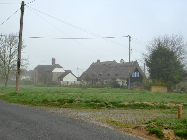
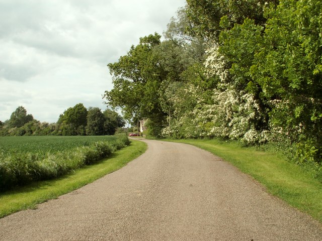
The village is characterized by its charming rural atmosphere, with quaint cottages and traditional farmhouses dotting the landscape. The area is primarily agricultural, with vast fields and farmland surrounding the village. This not only adds to the scenic beauty of Blake End but also contributes to its strong sense of community and connection to the land.

Although small in size, Blake End boasts a close-knit community that takes pride in its heritage and traditions. The villagers often come together for various events and celebrations, fostering a sense of unity and camaraderie. The village hall serves as a central hub for community activities, hosting regular gatherings, social events, and clubs.

In terms of amenities, Blake End is relatively limited. However, the nearby town of Braintree offers a wider range of facilities, including schools, shops, and healthcare services. The village is well-connected to Braintree and other neighboring towns via a network of roads, making it easily accessible for residents and visitors alike.

Blake End's rural location provides ample opportunities for outdoor activities and exploring the surrounding natural beauty. The village is surrounded by rolling hills, woodlands, and several walking trails, making it a popular destination for nature enthusiasts and hikers.

Overall, Blake End offers a peaceful and picturesque living environment, with its rural charm and strong community spirit attracting those seeking a slower pace of life in the heart of the Essex countryside.

If you have any feedback on the listing, please let us know in the comments section below.
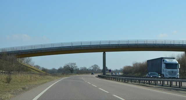
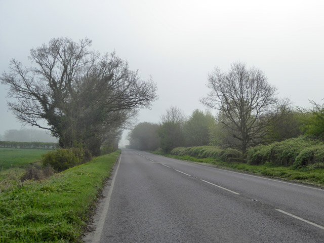
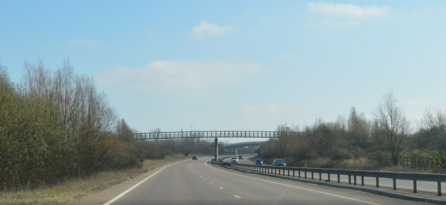
Blake End Images

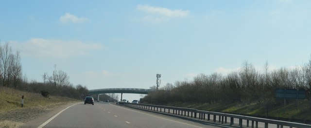
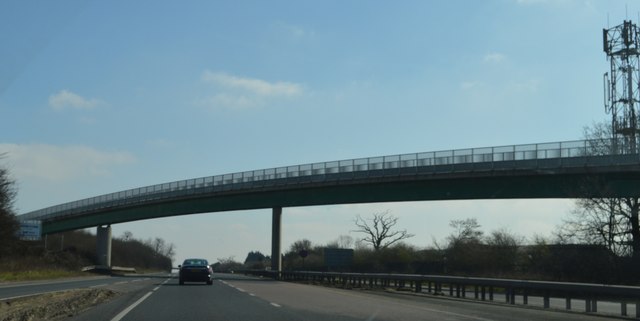
Images are sourced within 2km of 51.878067/0.472166 or Grid Reference TL7022. Thanks to Geograph Open Source API. All images are credited.

Footbridge, A120 The A120 is a trunk road that runs east-west across East Anglia from Harwich to Puckeridge, 63 miles in length. It follows the route of the Roman Road, Stane Street. <span class="nowrap"><a title="http://www.sabre-roads.org.uk/wiki/index.php?title=A120" rel="nofollow ugc noopener" href="http://www.sabre-roads.org.uk/wiki/index.php?title=A120">Link</a><img style="margin-left:2px;" alt="External link" title="External link - shift click to open in new window" src="https://s1.geograph.org.uk/img/external.png" width="10" height="10"/></span>
Footbridge, A120
The A120 is a trunk road that runs east-west across East Anglia from Harwich to Puckeridge, 63 miles in length. It follows the route of the Roman Road, Stane Street. LinkExternal link
A120, eastbound The A120 is a trunk road that runs east-west across East Anglia from Harwich to Puckeridge, 63 miles in length. It follows the route of the Roman Road, Stane Street. <span class="nowrap"><a title="http://www.sabre-roads.org.uk/wiki/index.php?title=A120" rel="nofollow ugc noopener" href="http://www.sabre-roads.org.uk/wiki/index.php?title=A120">Link</a><img style="margin-left:2px;" alt="External link" title="External link - shift click to open in new window" src="https://s1.geograph.org.uk/img/external.png" width="10" height="10"/></span>
A120, eastbound
The A120 is a trunk road that runs east-west across East Anglia from Harwich to Puckeridge, 63 miles in length. It follows the route of the Roman Road, Stane Street. LinkExternal link
B1256 towards Braintree This was formerly the A120 before the current route was built, and before that, a Roman road to Colchester.
B1256 towards Braintree
This was formerly the A120 before the current route was built, and before that, a Roman road to Colchester.
Cottages, Stebbing Green Grade II listed buildings.
Cottages, Stebbing Green
Grade II listed buildings.
The Former Bannister Green Halt The Braintree to Bishop's Stortford Railway was opened in 1869. Bannister Green Halt was one of those added in 1922 in an attempt to increase passenger numbers. See the scene eight years ago at <a href="https://www.geograph.org.uk/photo/2742166">TL6921 : Remains of Bannister Green Halt</a>.
The Former Bannister Green Halt
The Braintree to Bishop's Stortford Railway was opened in 1869. Bannister Green Halt was one of those added in 1922 in an attempt to increase passenger numbers. See the scene eight years ago at TL6921 : Remains of Bannister Green Halt.
Flitch Way at Braintree Rd One of the colourful waymarker posts in the Flitch Way Country Park <span class="nowrap"><a title="http://www.visitparks.co.uk/places/flitch-way/" rel="nofollow ugc noopener" href="http://www.visitparks.co.uk/places/flitch-way/">Link</a><img style="margin-left:2px;" alt="External link" title="External link - shift click to open in new window" src="https://s1.geograph.org.uk/img/external.png" width="10" height="10"/></span>
Flitch Way at Braintree Rd
One of the colourful waymarker posts in the Flitch Way Country Park LinkExternal link
Seat by The Flitch Way There are strategically placed convenient seats along the length of the Country Park <span class="nowrap"><a title="http://www.visitparks.co.uk/places/flitch-way/" rel="nofollow ugc noopener" href="http://www.visitparks.co.uk/places/flitch-way/">Link</a><img style="margin-left:2px;" alt="External link" title="External link - shift click to open in new window" src="https://s1.geograph.org.uk/img/external.png" width="10" height="10"/></span> the flowers in the bottom right of the picture are <a href="https://www.geograph.org.uk/photo/6198143">TL6821 : Succisa pratensis</a>
Seat by The Flitch Way
There are strategically placed convenient seats along the length of the Country Park LinkExternal link the flowers in the bottom right of the picture are TL6821 : Succisa pratensis
Devil's-bit Scabious <a href="https://www.geograph.org.uk/photo/6198143">TL6821 : Succisa pratensis</a> is very attractive to insects
Devil's-bit Scabious
TL6821 : Succisa pratensis is very attractive to insects
Succisa pratensis <a href="https://www.geograph.org.uk/photo/6198138">TL6821 : Devil's-bit Scabious</a> attract insects of all sorts.
Succisa pratensis
TL6821 : Devil's-bit Scabious attract insects of all sorts.
B1417 Bridge, A120 The A120 is a trunk road that runs east-west across East Anglia from Harwich to Puckeridge, 63 miles in length. It follows the route of the Roman Road, Stane Street. <span class="nowrap"><a title="http://www.sabre-roads.org.uk/wiki/index.php?title=A120" rel="nofollow ugc noopener" href="http://www.sabre-roads.org.uk/wiki/index.php?title=A120">Link</a><img style="margin-left:2px;" alt="External link" title="External link - shift click to open in new window" src="https://s1.geograph.org.uk/img/external.png" width="10" height="10"/></span>
B1417 Bridge, A120
The A120 is a trunk road that runs east-west across East Anglia from Harwich to Puckeridge, 63 miles in length. It follows the route of the Roman Road, Stane Street. LinkExternal link
A120, eastbound The A120 is a trunk road that runs east-west across East Anglia from Harwich to Puckeridge, 63 miles in length. It follows the route of the Roman Road, Stane Street. <span class="nowrap"><a title="http://www.sabre-roads.org.uk/wiki/index.php?title=A120" rel="nofollow ugc noopener" href="http://www.sabre-roads.org.uk/wiki/index.php?title=A120">Link</a><img style="margin-left:2px;" alt="External link" title="External link - shift click to open in new window" src="https://s1.geograph.org.uk/img/external.png" width="10" height="10"/></span>
A120, eastbound
The A120 is a trunk road that runs east-west across East Anglia from Harwich to Puckeridge, 63 miles in length. It follows the route of the Roman Road, Stane Street. LinkExternal link
Footbridge, A120 This bridge carries the Flitch Way over the A120.
Footbridge, A120
This bridge carries the Flitch Way over the A120.
Barns at Pound Farm The low tiled building, a cartlodge, and the tall barn are grade II listed buildings, around 1800. The near lower black extensions are presumably not listed, as neither described nor mentioned in the listing.
Barns at Pound Farm
The low tiled building, a cartlodge, and the tall barn are grade II listed buildings, around 1800. The near lower black extensions are presumably not listed, as neither described nor mentioned in the listing.
Old railway van in paddock Across the road from Pound Farmhouse.
Old railway van in paddock
Across the road from Pound Farmhouse.
Shalford Road at junction with Pods Lane Where Pods Lane goes is not indicated as the arm has broken off.
Shalford Road at junction with Pods Lane
Where Pods Lane goes is not indicated as the arm has broken off.
Shalford Road enters Duckend Green A western outpost of Rayne.
Shalford Road enters Duckend Green
A western outpost of Rayne.
Lane to Park's Farm Only a bridleway for the public.
Lane to Park's Farm
Only a bridleway for the public.
Show me another place!

Blake End is located at Grid Ref: TL7022 (Lat: 51.878067, Lng: 0.472166)

Administrative County: Essex

District: Braintree

Police Authority: Essex

What 3 Words

///seducing.quite.outdoors. Near Little Dunmow, Essex

Nearby Locations

Blake End Graunt Courts

Related Wikis

Blake End

Blake End is a hamlet on the B1256 road in the civil parish of The Salings, in the Braintree district of Essex, England. The hamlet is situated between...

Gransmore Green

Gransmore Green is a hamlet in the civil parish of Felsted, in the Uttlesford district of Essex, England. Nearby settlements include the towns of Braintree...

Bannister Green Halt railway station

Bannister Green Halt railway station was a station in Bannister Green, Essex, England. The station was 13 miles 37 chains (21.67 km) from Bishop's Stortford...

Manshead CE Academy

Manshead CE Academy is a mixed Church of England secondary academy and sixth form located on the outskirts of both Caddington and Dunstable in Bedfordshire...

Nearby Amenities

Located within 500m of 51.878067,0.472166
Blake End
Place: hamlet
Wikidata: Q4924372
Lat/Long: 51.880923/0.474353
Bus Stop
The Saling Oak
Naptan AtcoCode: 150002006003
Naptan Bearing: NW
Naptan CommonName: The Saling Oak
Naptan Indicator: Opp
Naptan Landmark: The Saling Oak
Naptan NaptanCode: esxatwtm
Naptan Street: Dunmow Road
Naptan Verified: no
Public Transport: platform
Source: naptan_import
Lat/Long: 51.87731/0.4735199
Bus Stop
Blake End
Bus: yes
Naptan AtcoCode: 1500BLAKE1
Naptan Bearing: NE
Naptan CommonName: Blake End
Naptan Indicator: Towards
Naptan Landmark: Blake End
Naptan NaptanCode: esxjapwt
Naptan Street: Dunmow Road
Naptan Verified: no
Public Transport: platform
Source: naptan_import
Lat/Long: 51.8763689/0.4750811
Bus Stop
Blake End
Bus: yes
Naptan AtcoCode: 1500BLAKE2
Naptan Bearing: SW
Naptan CommonName: Blake End
Naptan Indicator: From
Naptan Landmark: Blake End
Naptan NaptanCode: esxjapwp
Naptan Street: Dunmow Road
Naptan Verified: no
Public Transport: platform
Source: naptan_import
Lat/Long: 51.8763491/0.4751672
Bus Stop
The Saling Oak
Bus: yes
Naptan AtcoCode: 1500IM170
Naptan Bearing: SE
Naptan BusStopType: CUS
Naptan CommonName: The Saling Oak
Naptan Indicator: o/s
Naptan Landmark: The Saling Oak
Naptan NaptanCode: esxadamd
Naptan Street: Dunmow Road
Naptan Verified: no
Public Transport: platform
Source: naptan_import
Lat/Long: 51.8775812/0.4730263
Parking
Lat/Long: 51.8756587/0.4696917
Restaurant
Palm Trees
Source: bing
Lat/Long: 51.8782687/0.4715061
Power: pole
Lat/Long: 51.8754295/0.4678282
Power: pole
Lat/Long: 51.8756696/0.4686195
Power: pole
Lat/Long: 51.8761432/0.4704326
Power: pole
Lat/Long: 51.876789/0.4720527
Power: pole
Lat/Long: 51.8772063/0.4732007
Power: pole
Lat/Long: 51.8774928/0.4733938
Power: pole
Lat/Long: 51.8781501/0.47389
Power: pole
Lat/Long: 51.8786734/0.4743192
Power: pole
Lat/Long: 51.8792297/0.4751989
Power: pole
Lat/Long: 51.8797265/0.4763603
Power: pole
Lat/Long: 51.8795725/0.4776558
Power: pole
Lat/Long: 51.8794052/0.4789326
Material: wood
Power: pole
Transformer: distribution
Voltage Primary: 11000
Lat/Long: 51.8806487/0.472675
Power: pole
Lat/Long: 51.8803672/0.4738739
Power: pole
Lat/Long: 51.8799897/0.4750702
Post Box
Operator: Royal Mail
Post Box Type: lamp
Ref: CM77 27D
Royal Cypher: EIIR
Lat/Long: 51.8782727/0.4721707
Cafe
Sconch Tea Rooms
Addr Place: Blake House Craft Centre
Addr Postcode: CM77 6SH
Addr Unit: 11
Lat/Long: 51.8816347/0.4720232
The data included in this document is from www.openstreetmap.org. The data is made available under ODbL.

Have you been to Blake End?

Leave your review of Blake End below (or comments, questions and feedback).