Bexleyhill
Settlement in Sussex Chichester
England
Bexleyhill
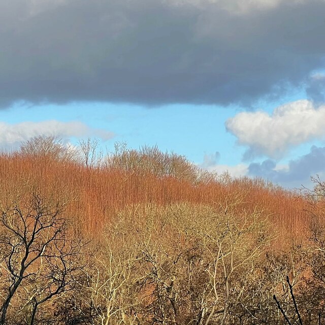
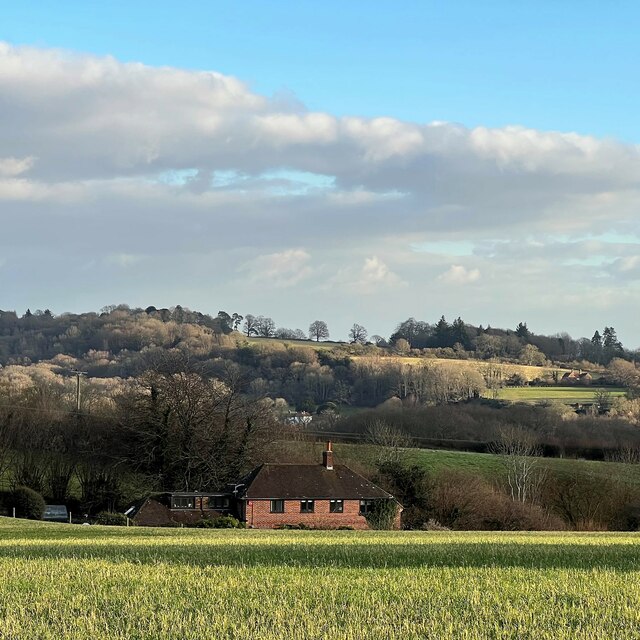
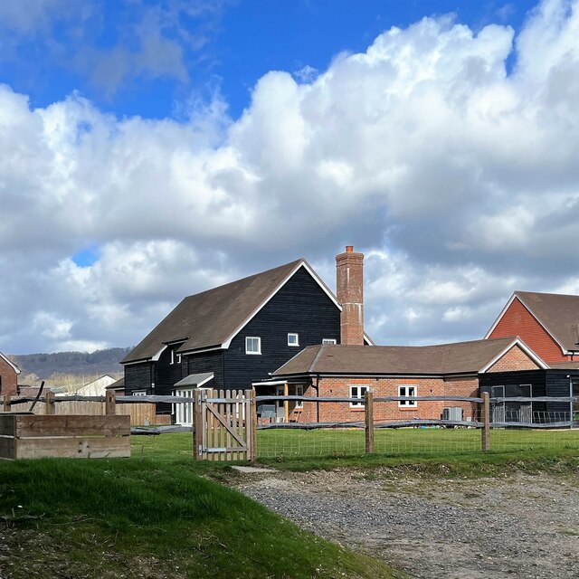
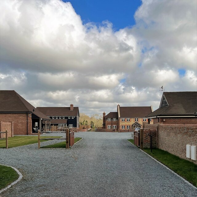
Bexleyhill is a small village located in the county of Sussex, England. Situated in the South East region of the country, Bexleyhill is surrounded by picturesque countryside and rolling hills, providing residents with stunning views and a tranquil atmosphere.
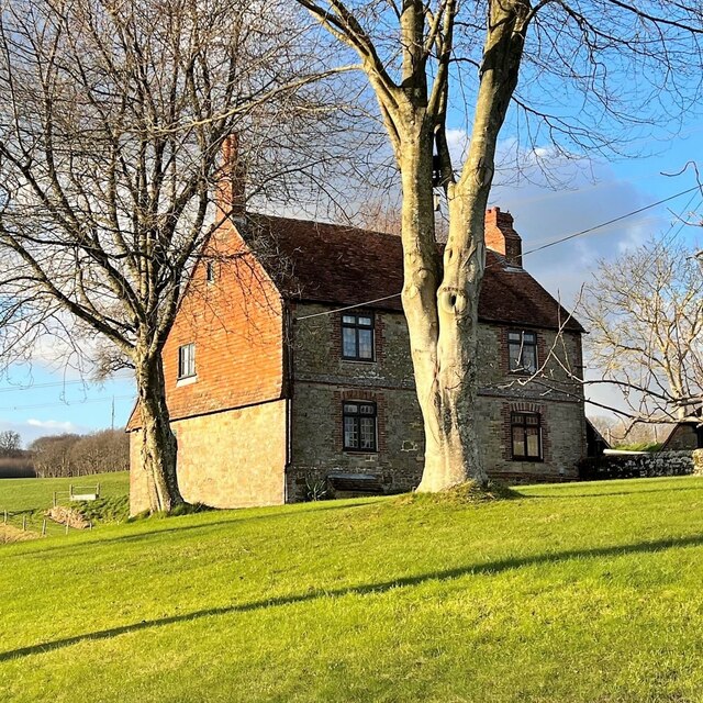
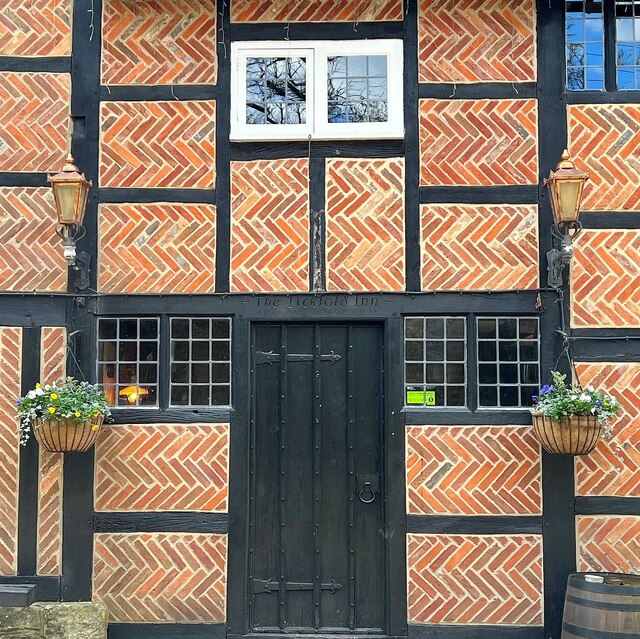
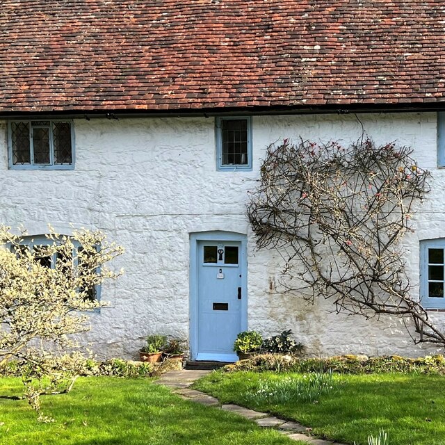
The village itself is characterized by its charming traditional architecture, with many historic buildings and thatched-roof cottages dating back several centuries. Bexleyhill's narrow, winding streets add to its old-world charm, and the village square is a central gathering point for residents and visitors alike.
Despite its small size, Bexleyhill boasts a strong sense of community, with a range of local amenities and services to cater to the needs of its residents. These include a village hall, a post office, a primary school, and a few local shops and pubs where locals can socialize and relax.
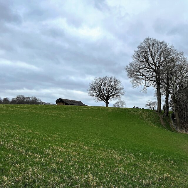
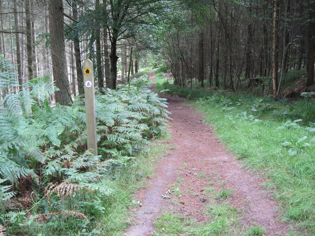
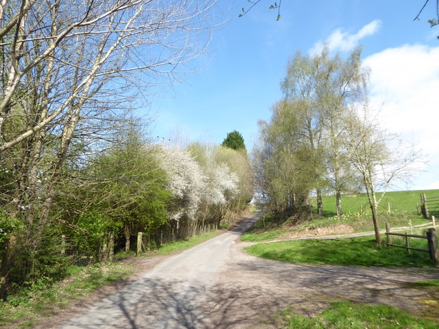
The surrounding countryside offers plenty of opportunities for outdoor activities, with numerous walking and cycling routes crisscrossing the rolling hills and woodlands. Bexleyhill is also within close proximity to several nature reserves and parks, providing residents with a wealth of opportunities to explore the great outdoors.
Transport links to Bexleyhill are relatively good, with regular bus services connecting the village to the nearby towns and cities. The closest railway station is located a few miles away, offering convenient access to the wider region.
Overall, Bexleyhill, Sussex is a tranquil and picturesque village, offering a peaceful and close-knit community within the beautiful English countryside.
If you have any feedback on the listing, please let us know in the comments section below.
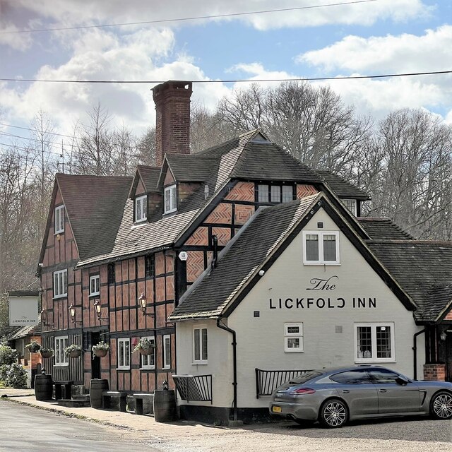
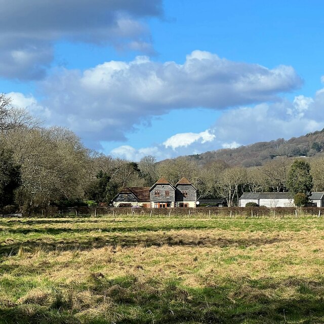
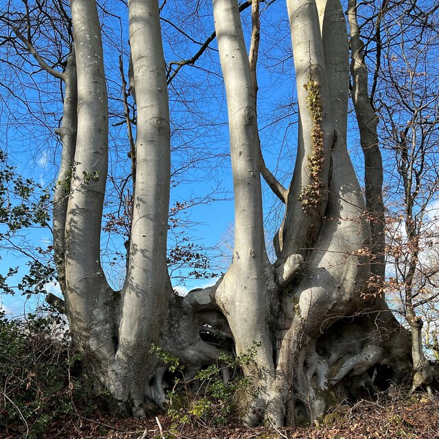
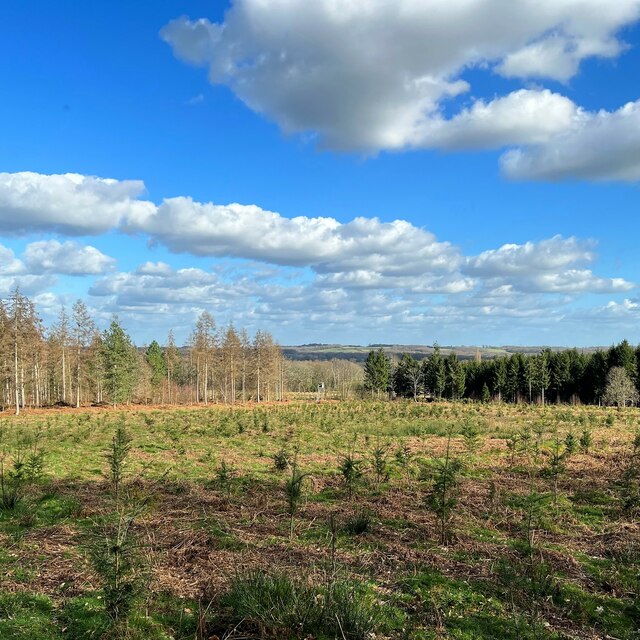
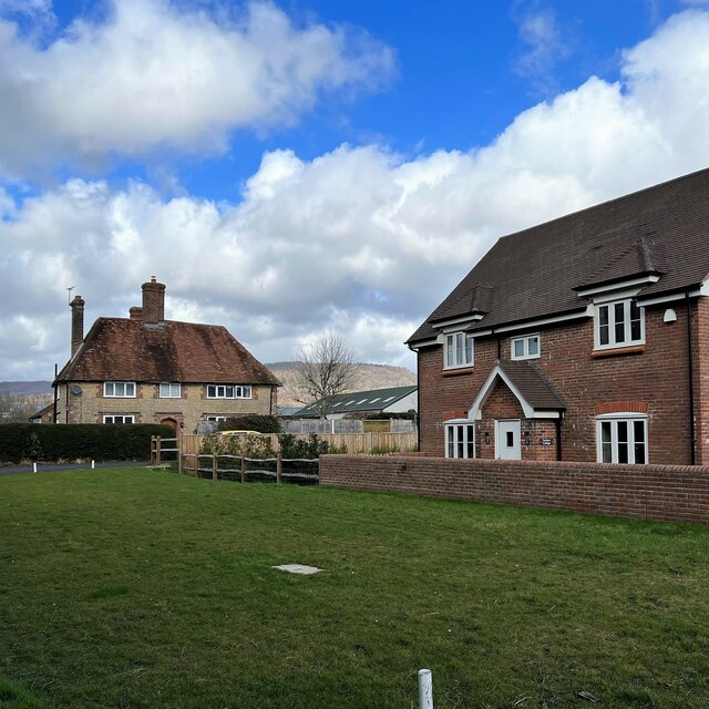
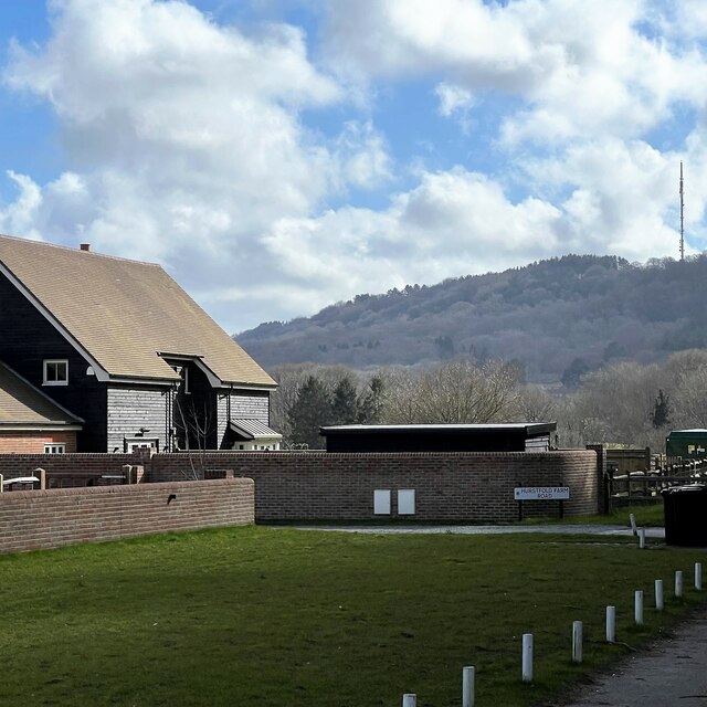
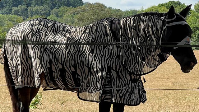
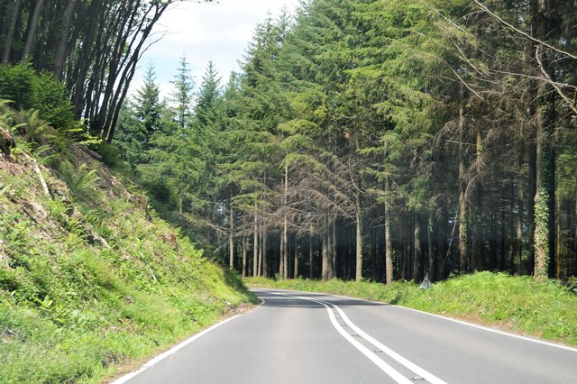
Bexleyhill Images
Images are sourced within 2km of 51.019499/-0.699276 or Grid Reference SU9125. Thanks to Geograph Open Source API. All images are credited.
Bexleyhill is located at Grid Ref: SU9125 (Lat: 51.019499, Lng: -0.699276)
Administrative County: West Sussex
District: Chichester
Police Authority: Sussex
What 3 Words
///newlywed.armful.preparing. Near Fernhurst, West Sussex
Nearby Locations
Related Wikis

Midhurst transmitting station
The Midhurst transmitting station is a facility for both analogue and digital VHF/FM radio and UHF television transmission, 3.1 miles (5.0 km) northeast...

Northpark Copse to Snapelands Copse
Northpark Copse to Snapelands Copse is a 101.4-hectare (251-acre) biological Site of Special Scientific Interest north of Midhurst in West Sussex.This...

Lodsworth
Lodsworth is a small village, ecclesiastical parish and civil parish in the Chichester district of West Sussex, England. It is situated between Midhurst...

Cooksbridge Meadow
Cooksbridge Meadow is a 9-hectare (22-acre) nature reserve south of Fernhurst in Sussex. It is managed by the Sussex Wildlife Trust.Most of this site...

Queen Elizabeth Oak
The Queen Elizabeth Oak is a large sessile oak tree in Cowdray Park near the village of Lodsworth in the Western Weald, West Sussex, England. It lies...
North Ambersham
North Ambersham was a tithing in the Chichester district of West Sussex, England. Until 1844 North Ambersham was a detached part of Hampshire and was...

Lurgashall
Lurgashall is a village and civil parish in the Chichester district of West Sussex, England, 6.5 km (4 ml) north west of Petworth, just inside the South...
Midhurst Intermediate School
Midhurst Intermediate School (1970-2008) was a maintained comprehensive middle-deemed-secondary school for pupils aged 10 to 13. It was one of only 11...
Nearby Amenities
Located within 500m of 51.019499,-0.699276Have you been to Bexleyhill?
Leave your review of Bexleyhill below (or comments, questions and feedback).