Bexley Hill

Hill, Mountain in Sussex Chichester

England

Bexley Hill

View NE towards Hoe Hill
View NE towards Hoe Hill Credit: Ian Cunliffe

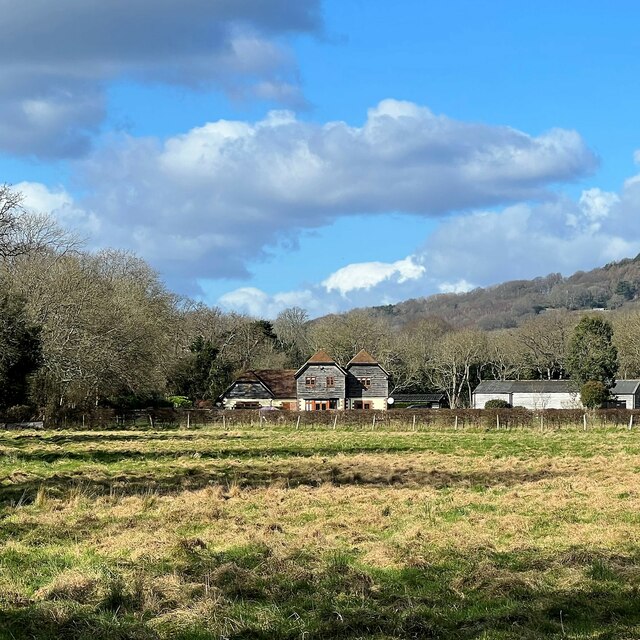
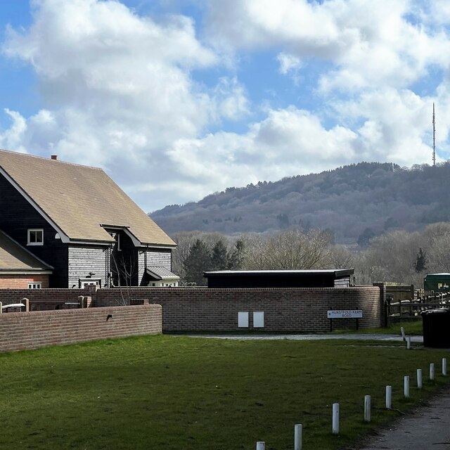
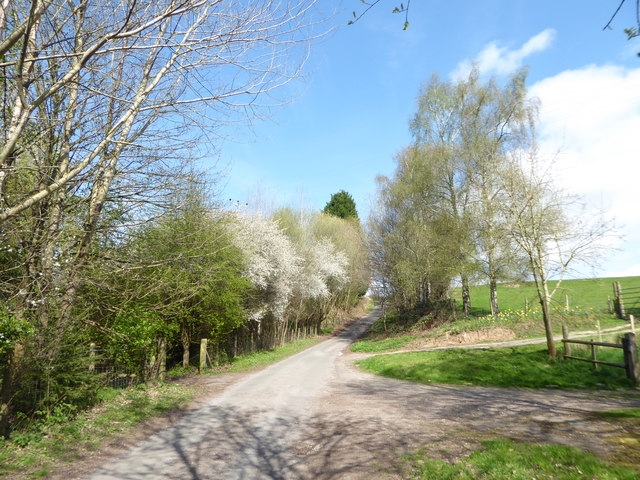
Bexley Hill is a prominent geological feature located in Sussex, England. It is classified as a hill rather than a mountain due to its relatively moderate elevation and size. Situated in the southern part of the county, Bexley Hill offers picturesque views of the surrounding countryside.

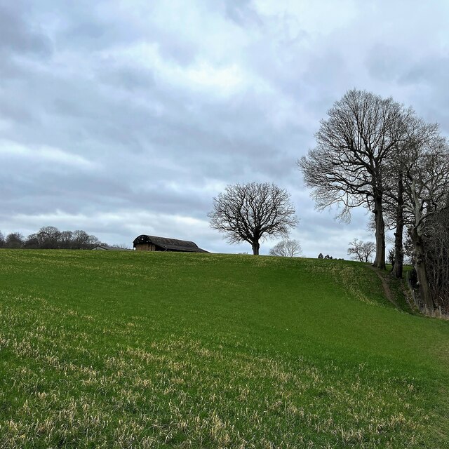
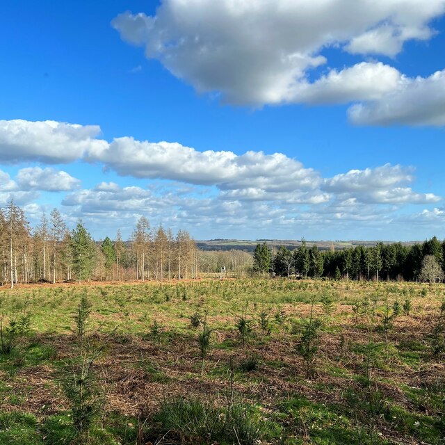
Rising to an elevation of approximately 200 meters above sea level, Bexley Hill is known for its gentle slopes and undulating terrain. The hill is primarily composed of sedimentary rock, including sandstone and limestone, which are characteristic of the region. These rocks have been shaped by millions of years of geological processes, resulting in the formation of the hill we see today.

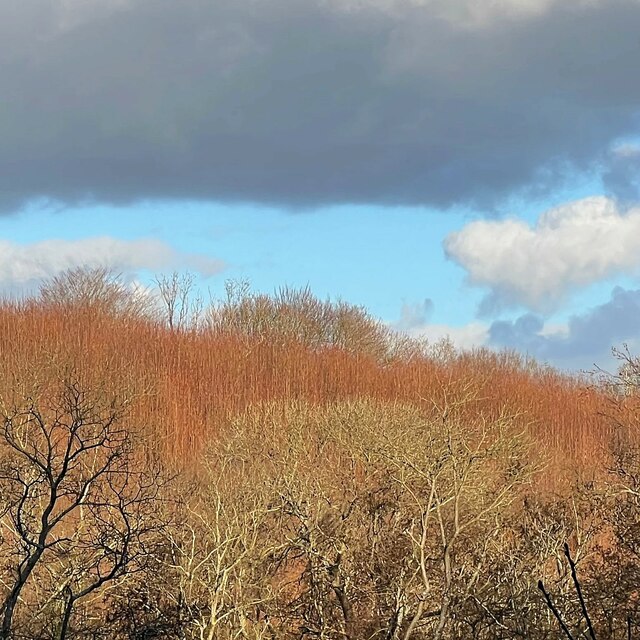
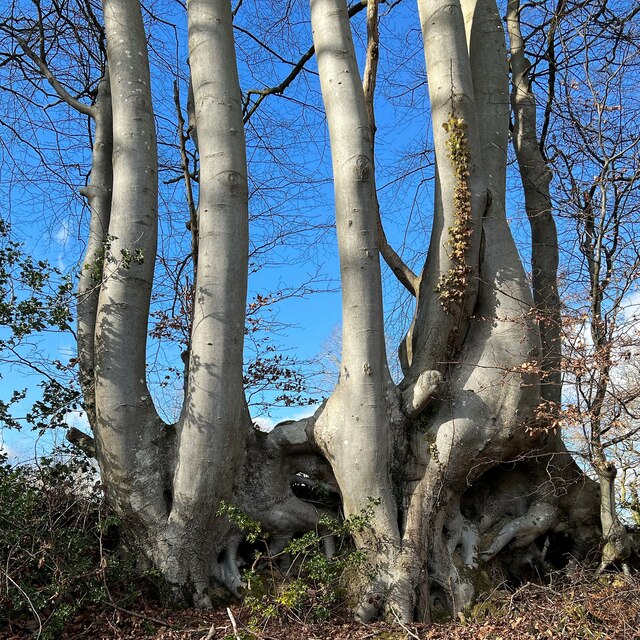
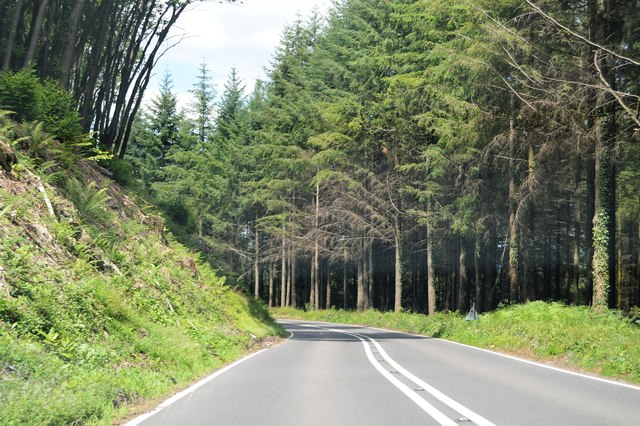
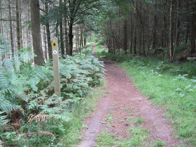
The vegetation on Bexley Hill is diverse, with a mix of deciduous and coniferous trees covering its slopes. Oak, beech, and pine are among the prominent tree species found in the area. The hill also supports a variety of wildlife, including birds, small mammals, and insects.

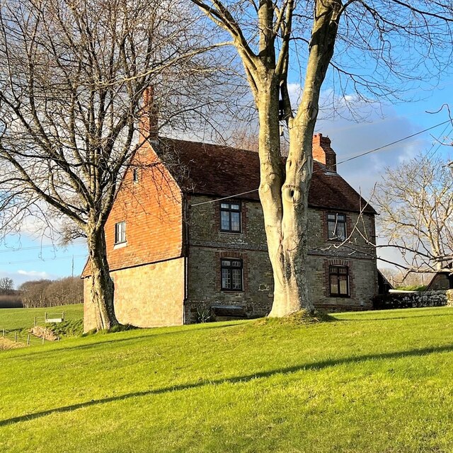
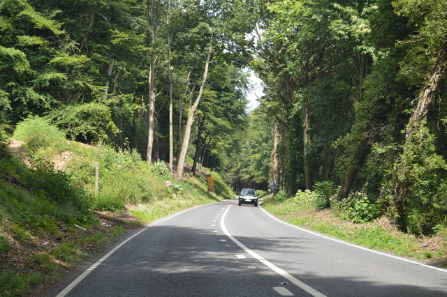
Due to its natural beauty and accessibility, Bexley Hill attracts outdoor enthusiasts and nature lovers. Several walking trails and footpaths traverse the hill, offering opportunities for leisurely strolls and more challenging hikes. The hilltop provides stunning panoramic views of the surrounding countryside, making it a popular spot for photography and nature appreciation.

Overall, Bexley Hill in Sussex offers a peaceful retreat for those seeking natural beauty and tranquility. Its geological significance, coupled with its scenic landscapes, make it a notable landmark in the region.

If you have any feedback on the listing, please let us know in the comments section below.
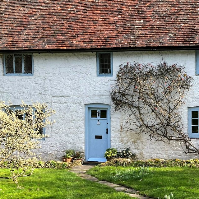
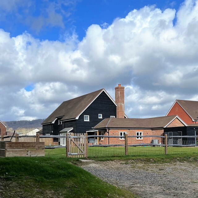
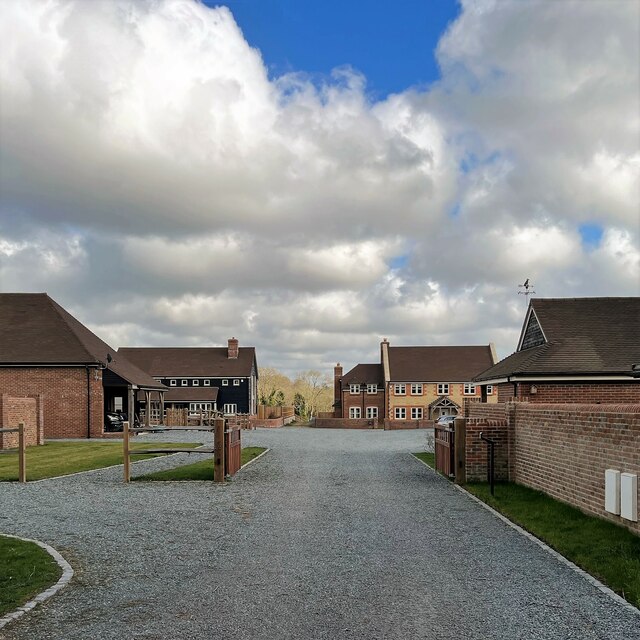
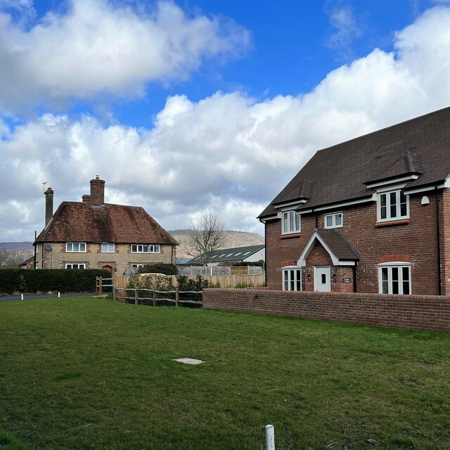
Bexley Hill Images

Images are sourced within 2km of 51.018729/-0.70207059 or Grid Reference SU9125. Thanks to Geograph Open Source API. All images are credited.

View NE towards Hoe Hill
House at Redlands Farm
View SW towards Redlands Farm The Serpent Trail follows the edge of the wood on the right.
View SW towards Redlands Farm
The Serpent Trail follows the edge of the wood on the right.
The Lickfold Inn
The Lickfold Inn
View NNW towards Lower Gentilshurst Farm
Tree trunks and roots by Highstead Lane
View east across Knights Copse
The Lickfold Inn
The Lickfold Inn
White Cottage According to the map "White Cottage" is the name of the cottage - not merely a description!
White Cottage
According to the map "White Cottage" is the name of the cottage - not merely a description!
New houses on Hurstfold Farm Road
New houses on Hurstfield Farm Road To me there is always something slightly surreal about newly built houses like this - before people move in.
New houses on Hurstfield Farm Road
To me there is always something slightly surreal about newly built houses like this - before people move in.
View NNE in the direction of Hurstfold Farm You can see a barn between the two houses - and Black Down behind the barn.
View NNE in the direction of Hurstfold Farm
You can see a barn between the two houses - and Black Down behind the barn.
New house and view towards Bexleyhill You can see the mast of Midhurst Transmitting Station on the top of Bexleyhill.
New house and view towards Bexleyhill
You can see the mast of Midhurst Transmitting Station on the top of Bexleyhill.
Horse in a zebra coat - near Hurstfold Farm
A286, northbound The A286 is a 32 mile long road between Birdham and Milford.
<span class="nowrap"><a title="http://www.sabre-roads.org.uk/wiki/index.php?title=A286" rel="nofollow ugc noopener" href="http://www.sabre-roads.org.uk/wiki/index.php?title=A286">Link</a><img style="margin-left:2px;" alt="External link" title="External link - shift click to open in new window" src="https://s1.geograph.org.uk/img/external.png" width="10" height="10"/></span>
A286, northbound
The A286 is a 32 mile long road between Birdham and Milford. LinkExternal link
A286 near Henley The A286 is a 32 mile long road between Birdham and Milford.
<span class="nowrap"><a title="http://www.sabre-roads.org.uk/wiki/index.php?title=A286" rel="nofollow ugc noopener" href="http://www.sabre-roads.org.uk/wiki/index.php?title=A286">Link</a><img style="margin-left:2px;" alt="External link" title="External link - shift click to open in new window" src="https://s1.geograph.org.uk/img/external.png" width="10" height="10"/></span>
A286 near Henley
The A286 is a 32 mile long road between Birdham and Milford. LinkExternal link
Serpent Trail near Henley
Searching southwards down the Bashire (7) Lane between Surney and Hurstfold Farms
Searching southwards down the Bashire (7)
Lane between Surney and Hurstfold Farms
Show me another place!

Bexley Hill is located at Grid Ref: SU9125 (Lat: 51.018729, Lng: -0.70207059)

Administrative County: West Sussex

District: Chichester

Police Authority: Sussex

What 3 Words

///lobster.marathons.chats. Near Fernhurst, West Sussex

Related Wikis

Midhurst transmitting station

The Midhurst transmitting station is a facility for both analogue and digital VHF/FM radio and UHF television transmission, 3.1 miles (5.0 km) northeast...

Northpark Copse to Snapelands Copse

Northpark Copse to Snapelands Copse is a 101.4-hectare (251-acre) biological Site of Special Scientific Interest north of Midhurst in West Sussex.This...

Cooksbridge Meadow

Cooksbridge Meadow is a 9-hectare (22-acre) nature reserve south of Fernhurst in Sussex. It is managed by the Sussex Wildlife Trust.Most of this site...

Lodsworth

Lodsworth is a small village, ecclesiastical parish and civil parish in the Chichester district of West Sussex, England. It is situated between Midhurst...

Queen Elizabeth Oak

The Queen Elizabeth Oak is a large sessile oak tree in Cowdray Park near the village of Lodsworth in the Western Weald, West Sussex, England. It lies...

North Ambersham

North Ambersham was a tithing in the Chichester district of West Sussex, England. Until 1844 North Ambersham was a detached part of Hampshire and was...

Midhurst Intermediate School

Midhurst Intermediate School (1970-2008) was a maintained comprehensive middle-deemed-secondary school for pupils aged 10 to 13. It was one of only 11...

Easebourne

Easebourne () is a village, Anglican parish and civil parish in the Chichester District of West Sussex, England. It is half a mile (0.8 km) north of Midhurst...

Nearby Amenities

Located within 500m of 51.018729,-0.70207059
Bexley Hill
Natural: peak
Lat/Long: 51.0178191/-0.7010975
Post Box
Collection Plate: CP7
Collection Times: Mo-Fr 16:00; Sa 09:45
Operator: Royal Mail
Post Box Type: lamp
Ref: GU28 56
Royal Cypher: EIIR
Royal Cypher Wikidata: Q33102113
Lat/Long: 51.0200962/-0.701599
Midhurst transmitter
Communication Radio: yes
Communication Television: yes
Height: 117.7
Man Made: mast
Source: Bing
Tower Construction: guyed_lattice
Tower Type: communication
Wikidata: Q6842260
Wikipedia: en:Midhurst transmitting station
Lat/Long: 51.0171426/-0.7009472
Bexleyhill
Place: hamlet
Source: NPE
Lat/Long: 51.0204427/-0.7019861
The data included in this document is from www.openstreetmap.org. The data is made available under ODbL.

Have you been to Bexley Hill?

Leave your review of Bexley Hill below (or comments, questions and feedback).