Great Johnsons Wood
Wood, Forest in Sussex Chichester
England
Great Johnsons Wood
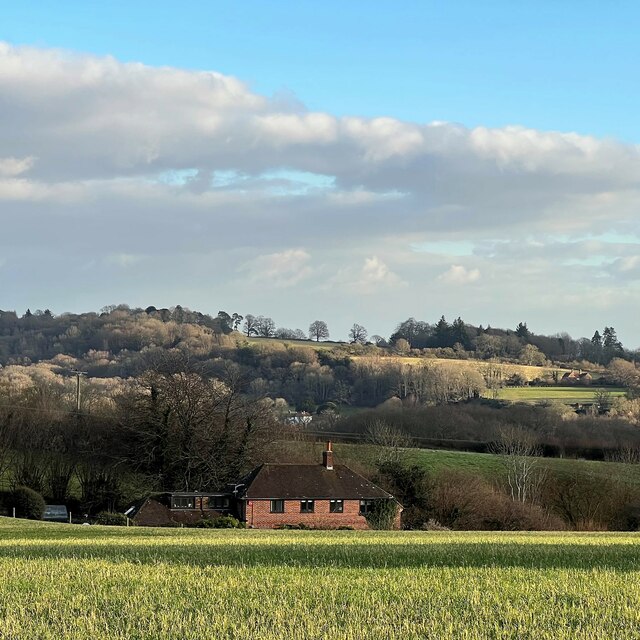
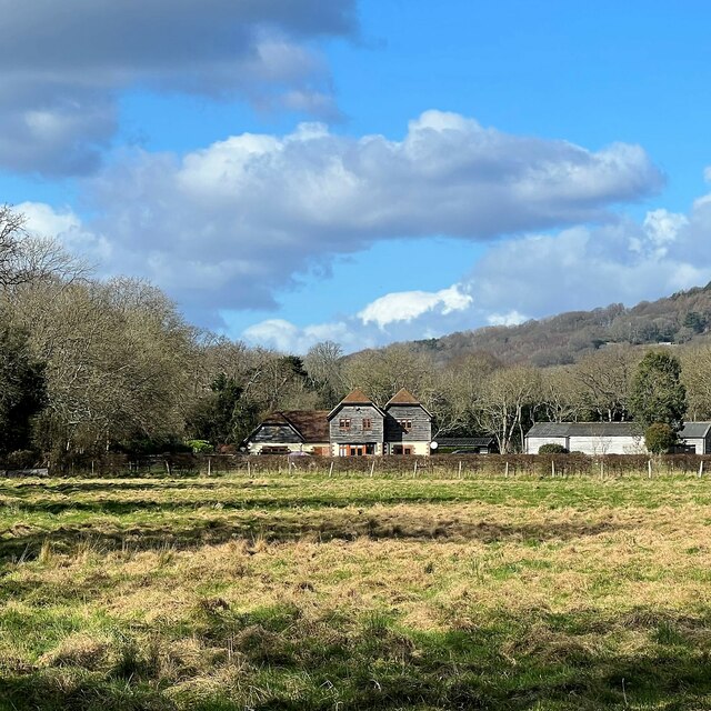
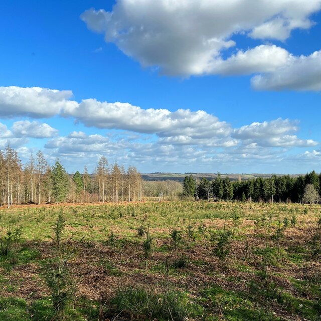
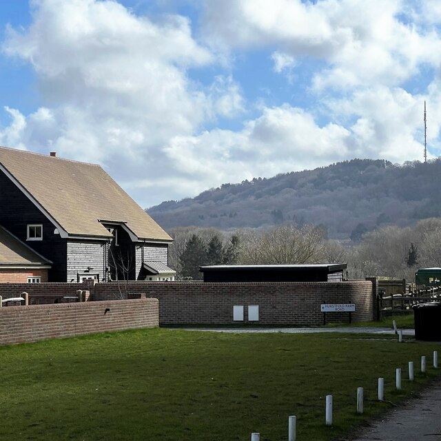
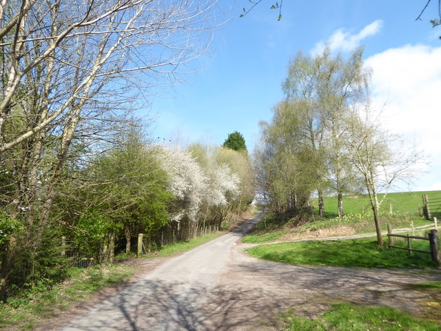
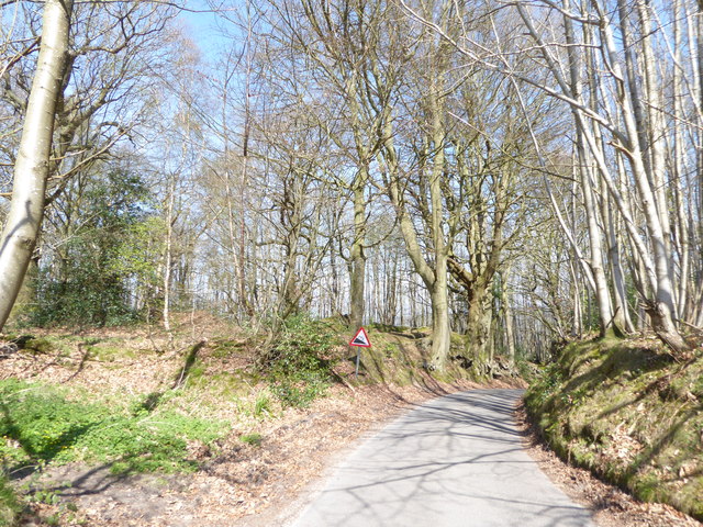
Great Johnsons Wood is a picturesque woodland located in Sussex, England. Covering an area of approximately 100 acres, it is known for its diverse ecosystem and breathtaking natural beauty. The wood is situated in the heart of the Sussex Weald, surrounded by rolling hills and meandering streams.
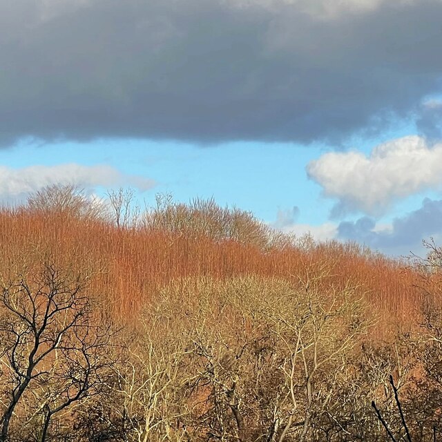
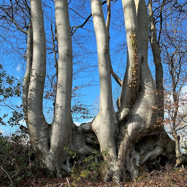
The woodland is predominantly composed of broadleaf trees, including oak, ash, beech, and birch. These towering trees create a dense canopy, providing a habitat for a wide variety of flora and fauna. Bluebells, wild garlic, and wood anemones carpet the forest floor in the spring, creating a vibrant display of colors.
Great Johnsons Wood is a haven for wildlife, offering shelter and sustenance to a range of species. Visitors may spot deer, foxes, badgers, and a plethora of bird species, including woodpeckers, owls, and warblers. The wood is also home to various insects, such as butterflies and dragonflies, adding to its biodiversity.
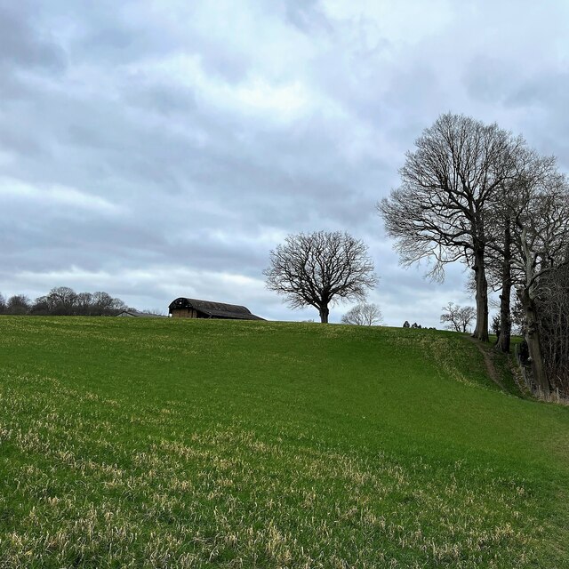
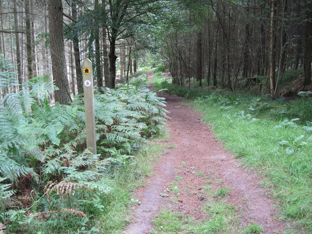
The woodland is crisscrossed by a network of well-maintained footpaths, allowing visitors to explore its beauty at their own pace. There are several picnic areas and benches scattered throughout, providing a perfect spot to enjoy a packed lunch amidst nature. The tranquility and calmness of the wood make it an ideal place for relaxation, meditation, or simply immersing oneself in the wonders of the natural world.
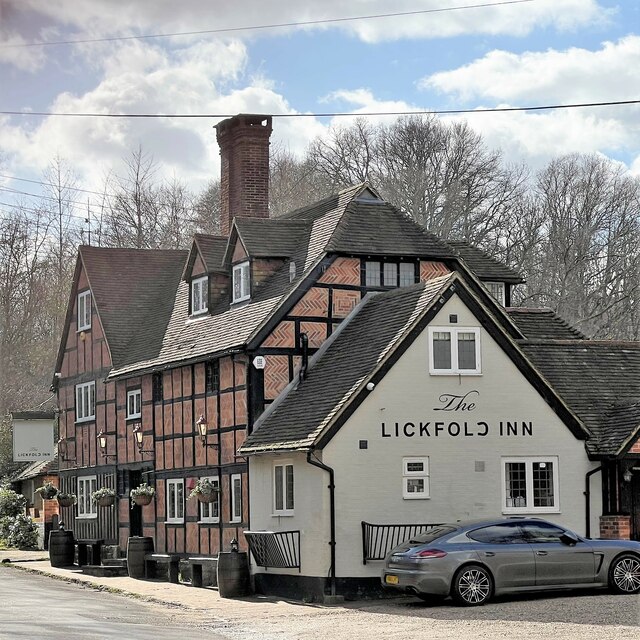
Great Johnsons Wood is a popular destination for nature enthusiasts, photographers, and families seeking an escape from the hustle and bustle of everyday life. Its timeless beauty and enchanting atmosphere make it a truly remarkable woodland worth exploring.
If you have any feedback on the listing, please let us know in the comments section below.
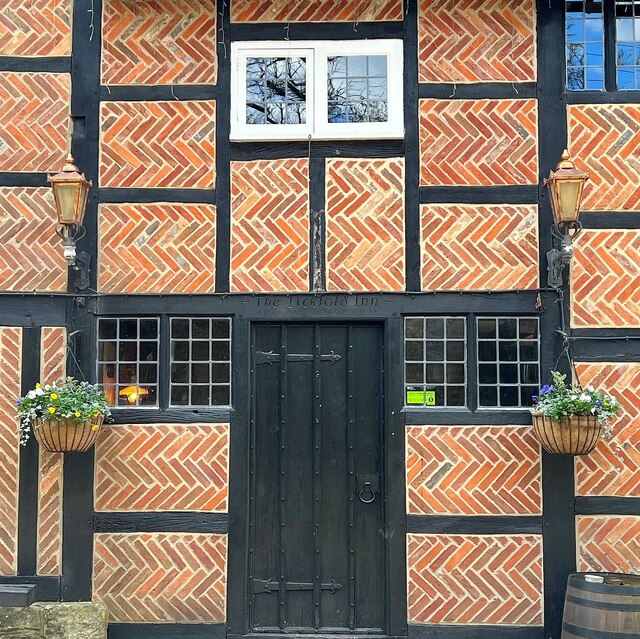
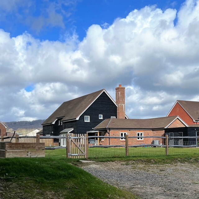
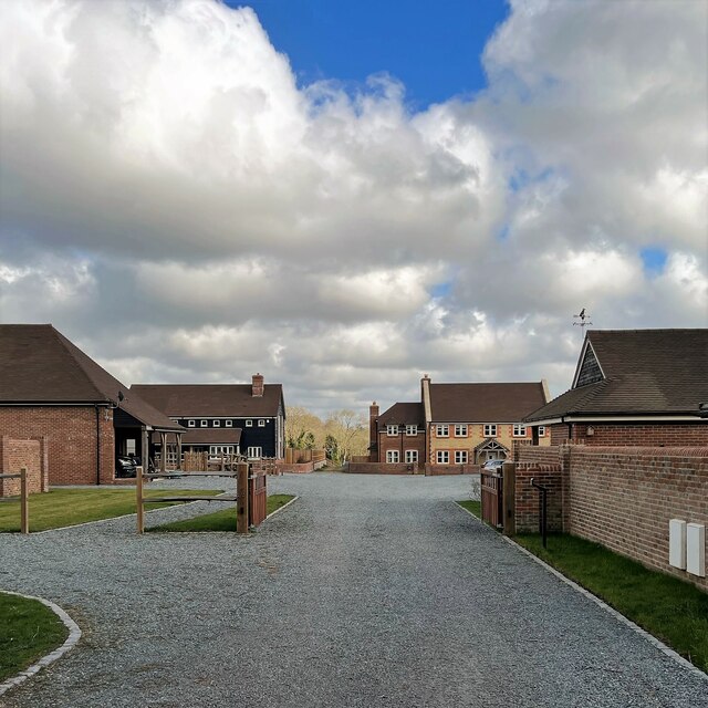
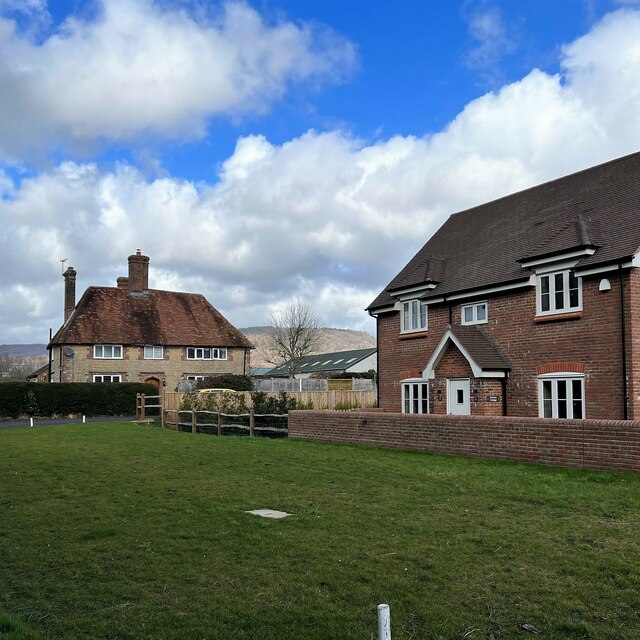
Great Johnsons Wood Images
Images are sourced within 2km of 51.02057/-0.69453385 or Grid Reference SU9125. Thanks to Geograph Open Source API. All images are credited.

Great Johnsons Wood is located at Grid Ref: SU9125 (Lat: 51.02057, Lng: -0.69453385)
Administrative County: West Sussex
District: Chichester
Police Authority: Sussex
What 3 Words
///jaunts.twinkled.react. Near Fernhurst, West Sussex
Nearby Locations
Related Wikis

Midhurst transmitting station
The Midhurst transmitting station is a facility for both analogue and digital VHF/FM radio and UHF television transmission, 3.1 miles (5.0 km) northeast...

Northpark Copse to Snapelands Copse
Northpark Copse to Snapelands Copse is a 101.4-hectare (251-acre) biological Site of Special Scientific Interest north of Midhurst in West Sussex. This...

Lodsworth
Lodsworth is a small village, ecclesiastical parish and civil parish in the Chichester district of West Sussex, England. It is situated between Midhurst...

Lurgashall
Lurgashall is a village and civil parish in the Chichester district of West Sussex, England, 6.5 km (4 ml) north west of Petworth, just inside the South...
Nearby Amenities
Located within 500m of 51.02057,-0.69453385Have you been to Great Johnsons Wood?
Leave your review of Great Johnsons Wood below (or comments, questions and feedback).