Knights Copse
Wood, Forest in Sussex Chichester
England
Knights Copse
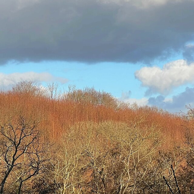
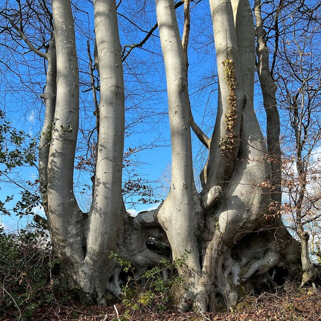
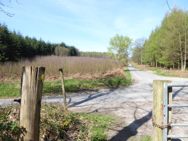
Knights Copse is a picturesque woodland located in the county of Sussex, England. Covering an area of approximately 50 acres, the copse is characterized by its dense, ancient trees and diverse wildlife.
The woodland is primarily composed of oak and beech trees, with their towering canopies creating a lush and vibrant atmosphere. The forest floor is adorned with a rich carpet of bluebells and ferns, adding to its enchanting beauty during the spring and summer months.
Knights Copse is a haven for nature enthusiasts and bird watchers. It is home to a wide variety of bird species including woodpeckers, owls, and warblers. The woodland also provides a habitat for other wildlife such as deer, foxes, and squirrels, making it a popular spot for wildlife photography and observation.
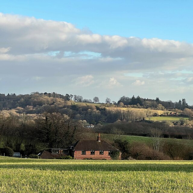
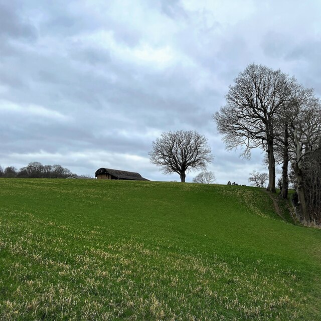
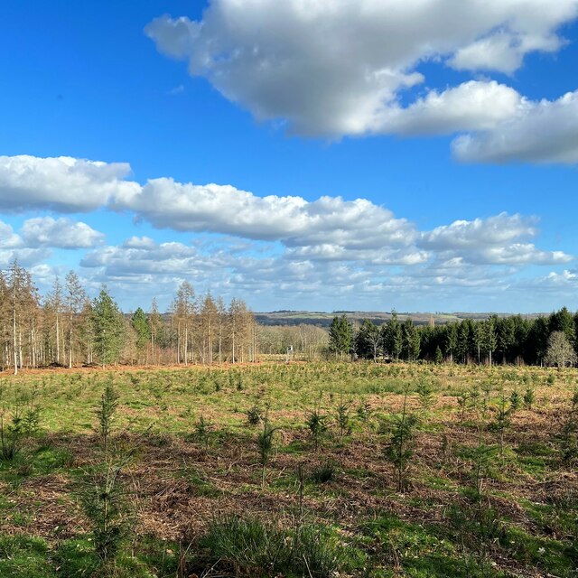
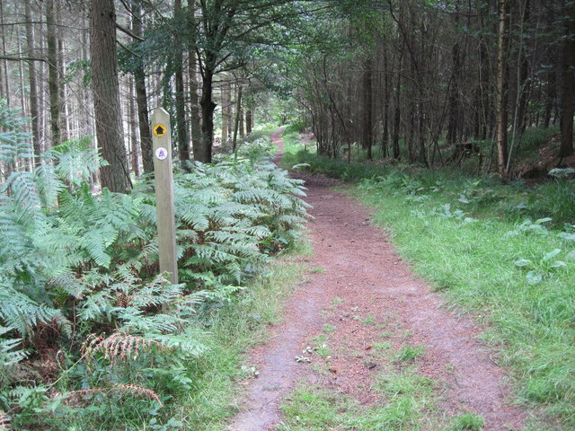
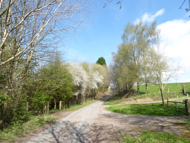
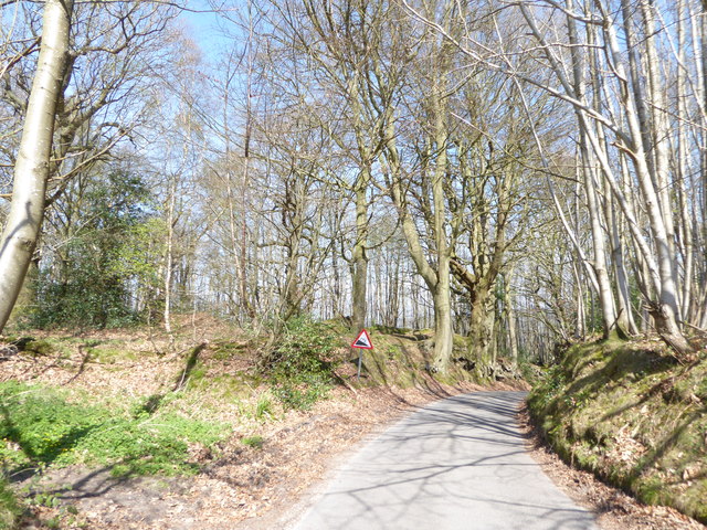
The copse offers a range of walking trails and paths, allowing visitors to explore the woodland at their own pace. These trails offer breathtaking views of the surrounding countryside and provide opportunities for peaceful contemplation and relaxation. The dense foliage also provides a natural shelter from the elements, making it a great destination for a leisurely stroll even during inclement weather.
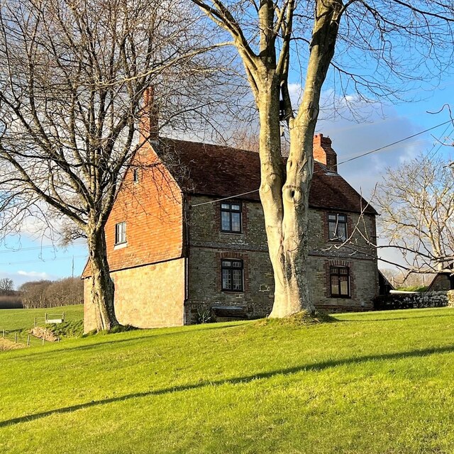
In addition to its natural beauty, Knights Copse has historical significance. The woodland is believed to have been part of a medieval hunting ground, and remnants of ancient hunting lodges can still be found within its boundaries.
Overall, Knights Copse is a captivating woodland that combines natural splendor with historical charm. Its diverse flora and fauna, along with its tranquil atmosphere, make it a must-visit destination for nature lovers and those seeking a peaceful escape from the bustle of everyday life.
If you have any feedback on the listing, please let us know in the comments section below.
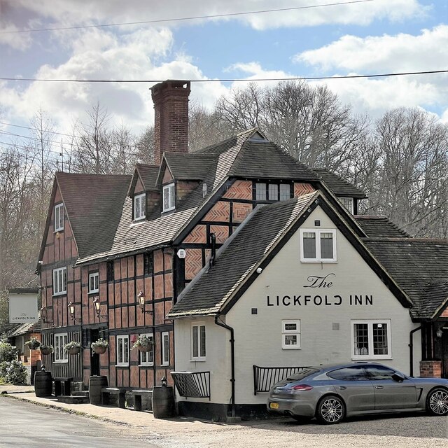
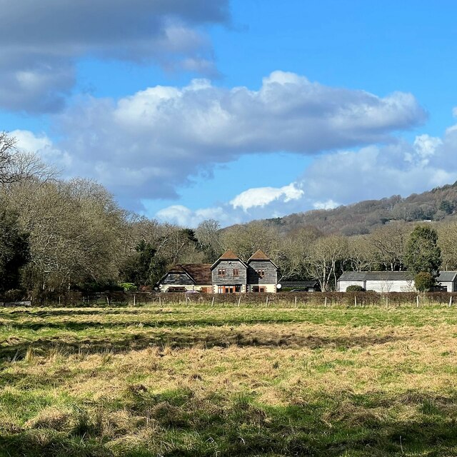
Knights Copse Images
Images are sourced within 2km of 51.019103/-0.69283563 or Grid Reference SU9125. Thanks to Geograph Open Source API. All images are credited.

Knights Copse is located at Grid Ref: SU9125 (Lat: 51.019103, Lng: -0.69283563)
Administrative County: West Sussex
District: Chichester
Police Authority: Sussex
What 3 Words
///happy.amaze.minds. Near Fernhurst, West Sussex
Nearby Locations
Related Wikis

Midhurst transmitting station
The Midhurst transmitting station is a facility for both analogue and digital VHF/FM radio and UHF television transmission, 3.1 miles (5.0 km) northeast...

Northpark Copse to Snapelands Copse
Northpark Copse to Snapelands Copse is a 101.4-hectare (251-acre) biological Site of Special Scientific Interest north of Midhurst in West Sussex.This...

Lodsworth
Lodsworth is a small village, ecclesiastical parish and civil parish in the Chichester district of West Sussex, England. It is situated between Midhurst...

Queen Elizabeth Oak
The Queen Elizabeth Oak is a large sessile oak tree in Cowdray Park near the village of Lodsworth in the Western Weald, West Sussex, England. It lies...

Lurgashall
Lurgashall is a village and civil parish in the Chichester district of West Sussex, England, 6.5 km (4 ml) north west of Petworth, just inside the South...

Cooksbridge Meadow
Cooksbridge Meadow is a 9-hectare (22-acre) nature reserve south of Fernhurst in Sussex. It is managed by the Sussex Wildlife Trust.Most of this site...
North Ambersham
North Ambersham was a tithing in the Chichester district of West Sussex, England. Until 1844 North Ambersham was a detached part of Hampshire and was...
Midhurst Intermediate School
Midhurst Intermediate School (1970-2008) was a maintained comprehensive middle-deemed-secondary school for pupils aged 10 to 13. It was one of only 11...
Nearby Amenities
Located within 500m of 51.019103,-0.69283563Have you been to Knights Copse?
Leave your review of Knights Copse below (or comments, questions and feedback).