High Wood

Wood, Forest in Sussex Chichester

England

High Wood

View NE towards Hoe Hill
View NE towards Hoe Hill Credit: Ian Cunliffe

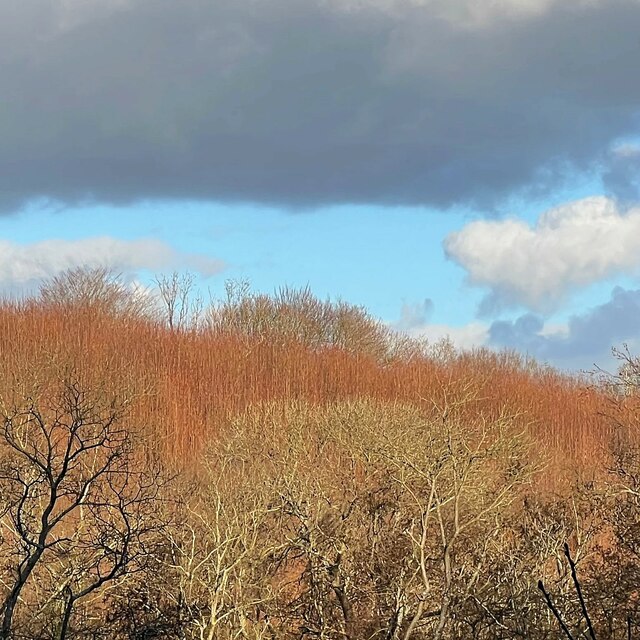
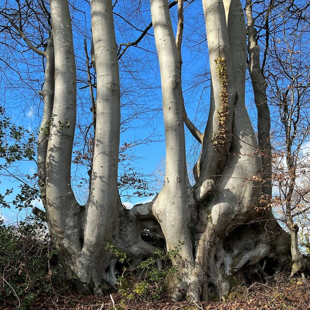
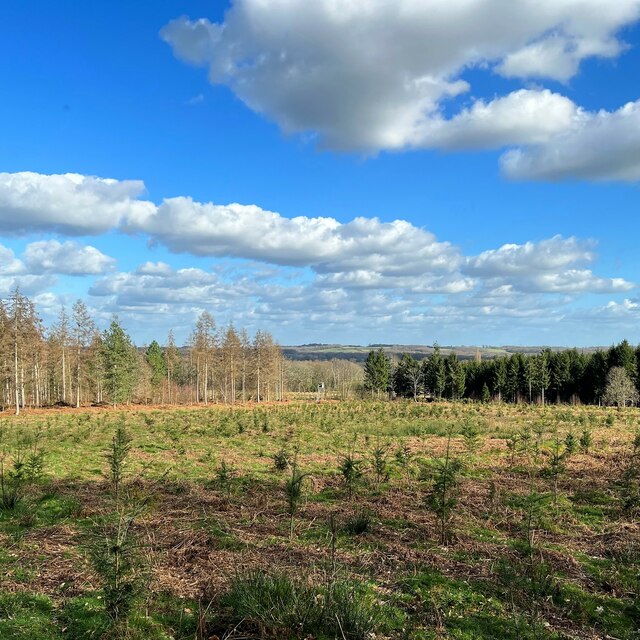
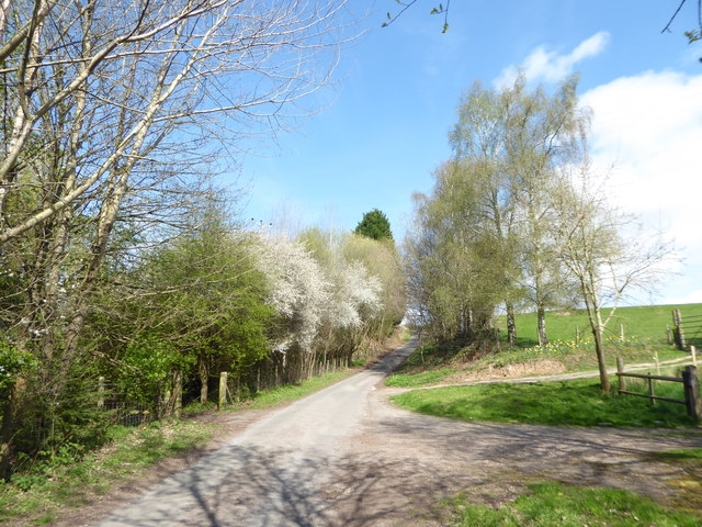
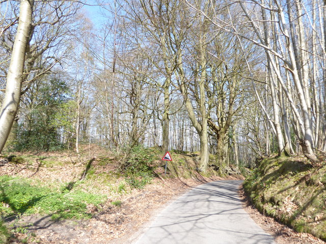
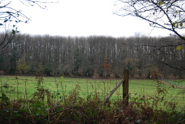
High Wood is a dense forest located in the county of Sussex, England. Situated in the South Downs National Park, it covers an area of approximately 50 hectares, making it a significant natural habitat in the region. The wood is characterized by its thick vegetation, consisting mainly of deciduous trees such as oak, beech, and birch, which create a lush and vibrant landscape throughout the year.

The wood is known for its diverse wildlife, with numerous species of birds, mammals, and insects calling it home. Visitors to High Wood can often spot deer grazing among the trees, while squirrels and rabbits can be seen scampering across the forest floor. The wood is also a haven for birdwatchers, as it attracts a variety of species, including woodpeckers, owls, and warblers.

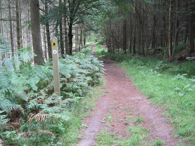
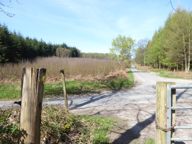
A network of walking paths and trails wind their way through High Wood, providing visitors with the opportunity to explore the area and immerse themselves in its natural beauty. These paths offer stunning views of the surrounding countryside, adding to the overall allure of the wood. Additionally, there are picnic areas and benches scattered throughout, allowing visitors to relax and enjoy the tranquil atmosphere.

High Wood holds historical significance as well. It served as a hiding place for local resistance groups during World War II, and remnants of old structures can still be found within its boundaries. These historical artifacts add an intriguing layer to the wood's charm, enticing history enthusiasts to delve deeper into its past.

Overall, High Wood in Sussex is a captivating forest that offers a rich biodiversity, picturesque scenery, and a glimpse into the region's history. It is a beloved destination for nature lovers and those seeking a peaceful retreat in the heart of the South Downs.

If you have any feedback on the listing, please let us know in the comments section below.
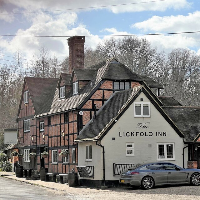
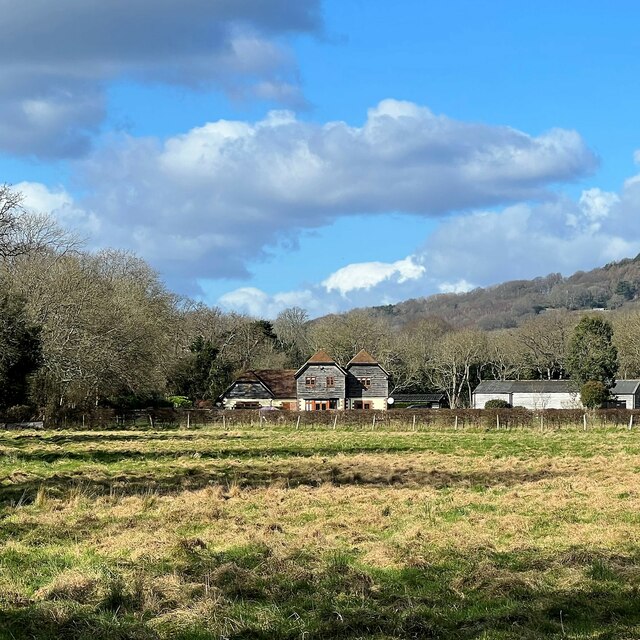
High Wood Images

Images are sourced within 2km of 51.022897/-0.69516716 or Grid Reference SU9125. Thanks to Geograph Open Source API. All images are credited.

View NE towards Hoe Hill
The Lickfold Inn
The Lickfold Inn
View NNW towards Lower Gentilshurst Farm
Tree trunks and roots by Highstead Lane
View east across Knights Copse
The Lickfold Inn
The Lickfold Inn
New houses on Hurstfold Farm Road
New houses on Hurstfield Farm Road To me there is always something slightly surreal about newly built houses like this - before people move in.
New houses on Hurstfield Farm Road
To me there is always something slightly surreal about newly built houses like this - before people move in.
View NNE in the direction of Hurstfold Farm You can see a barn between the two houses - and Black Down behind the barn.
View NNE in the direction of Hurstfold Farm
You can see a barn between the two houses - and Black Down behind the barn.
New house and view towards Bexleyhill You can see the mast of Midhurst Transmitting Station on the top of Bexleyhill.
New house and view towards Bexleyhill
You can see the mast of Midhurst Transmitting Station on the top of Bexleyhill.
Horse in a zebra coat - near Hurstfold Farm
Direction Sign - Signpost at Lickford Bridge in Lodsworth Located on the northwest side of a T junction at Lickfold Bridge in Lodsworth parish. 3 arms and annulus finial. The three arms were replacements some time after 2014, see <a title="https://www.geograph.org.uk/photo/6061211" href="https://www.geograph.org.uk/photo/6061211">Link</a>.

Milestone Society National ID: SX_SU9226B
Direction Sign - Signpost at Lickford Bridge in Lodsworth
Located on the northwest side of a T junction at Lickfold Bridge in Lodsworth parish. 3 arms and annulus finial. The three arms were replacements some time after 2014, see Link. Milestone Society National ID: SX_SU9226B
Serpent Trail near Henley
Searching southwards down the Bashire (7) Lane between Surney and Hurstfold Farms
Searching southwards down the Bashire (7)
Lane between Surney and Hurstfold Farms
Searching southwards down the Bashire (8) Between Poors Common and Bexleyhill
Searching southwards down the Bashire (8)
Between Poors Common and Bexleyhill
Searching southwards down the Bashire (9) Behind me the path from Vining Rough; to the left, road to Easebourne; right, road to Bexleyhill; and straight on, the road to Verdley Farm
Searching southwards down the Bashire (9)
Behind me the path from Vining Rough; to the left, road to Easebourne; right, road to Bexleyhill; and straight on, the road to Verdley Farm
Nathan's Post Nathan's Post is a memorial carved in Oak in the memory of Lord Nathan the second chairman of the Sussex Downs Conservation Board, an early forerunner of the South Downs National Park Authority.
Nathan's Post
Nathan's Post is a memorial carved in Oak in the memory of Lord Nathan the second chairman of the Sussex Downs Conservation Board, an early forerunner of the South Downs National Park Authority.
Vining Farm The farm glimpsed from the passing bridleway.
Vining Farm
The farm glimpsed from the passing bridleway.
Show me another place!

High Wood is located at Grid Ref: SU9125 (Lat: 51.022897, Lng: -0.69516716)

Administrative County: West Sussex

District: Chichester

Police Authority: Sussex

What 3 Words

///town.political.croutons. Near Fernhurst, West Sussex

Related Wikis

Midhurst transmitting station

The Midhurst transmitting station is a facility for both analogue and digital VHF/FM radio and UHF television transmission, 3.1 miles (5.0 km) northeast...

Northpark Copse to Snapelands Copse

Northpark Copse to Snapelands Copse is a 101.4-hectare (251-acre) biological Site of Special Scientific Interest north of Midhurst in West Sussex. This...

North Ambersham

North Ambersham is a former civil parish, now in the parish of Fernhurst, in the Chichester district of West Sussex, England. Until 1844 North Ambersham...

Cooksbridge Meadow

Cooksbridge Meadow is a 9-hectare (22-acre) nature reserve south of Fernhurst in Sussex. It is managed by the Sussex Wildlife Trust. Most of this site...

Nearby Amenities

Located within 500m of 51.022897,-0.69516716
The data included in this document is from www.openstreetmap.org. The data is made available under ODbL.

Have you been to High Wood?

Leave your review of High Wood below (or comments, questions and feedback).