Bending Oak

Wood, Forest in Surrey Surrey Heath

England

Bending Oak

Westend Common South of Red Road.
Westend Common Credit: JThomas

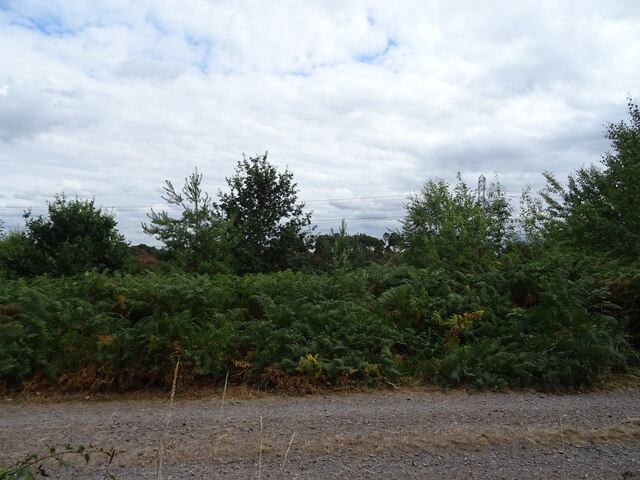
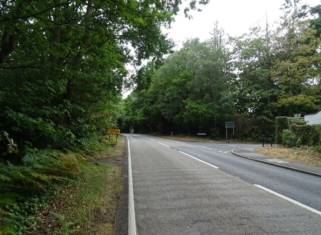
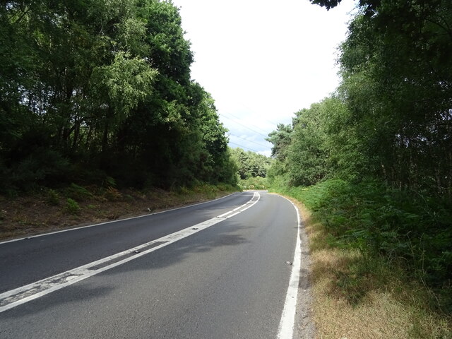
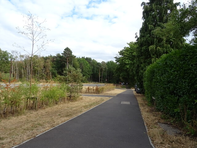
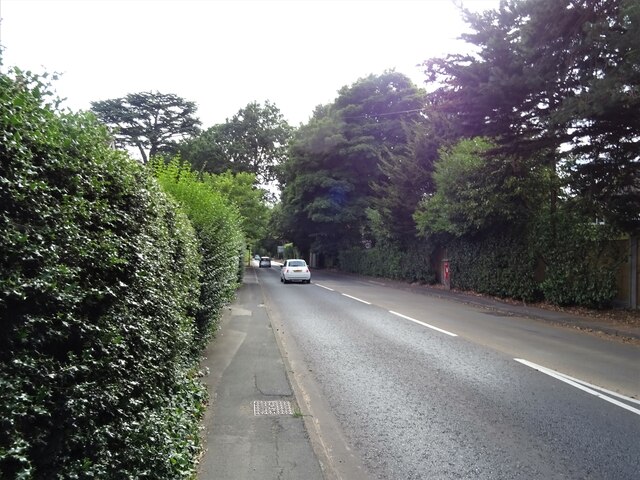
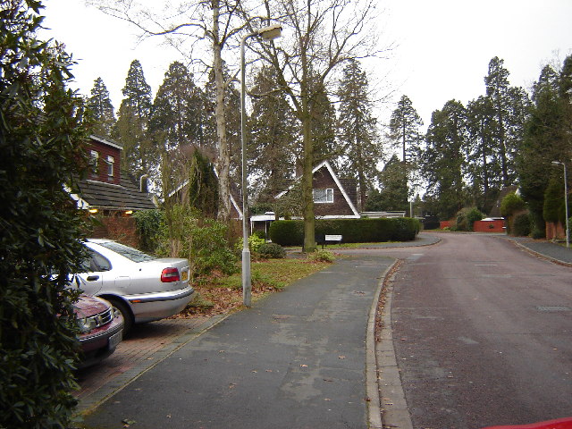
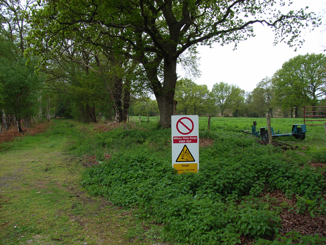
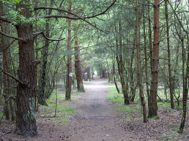
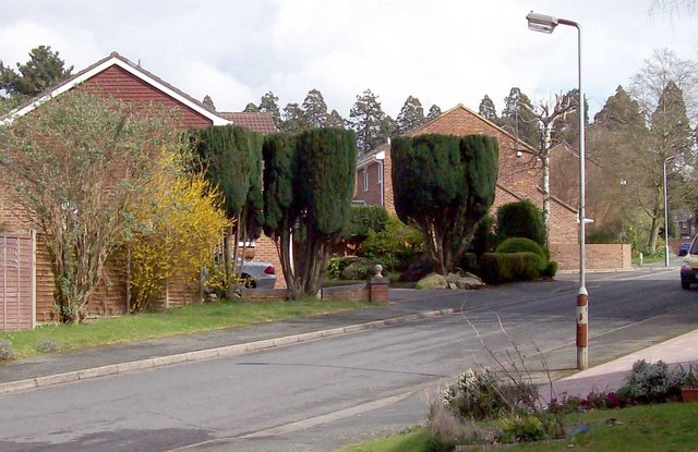
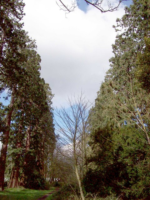
Bending Oak is a picturesque wood located in Surrey, England. Nestled in the heart of the county, this enchanting forest is renowned for its stunning natural beauty and tranquil atmosphere. Covering a vast area of land, Bending Oak is home to a diverse range of flora and fauna, making it a haven for nature enthusiasts and wildlife lovers.

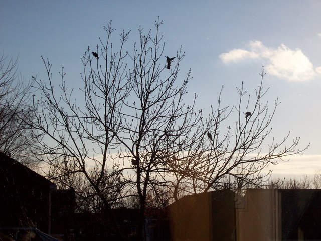
The wood gets its name from the magnificent oak trees that dominate the landscape. These majestic giants provide a captivating sight, with their branches gracefully bending and intertwining with one another. The oak trees are not only aesthetically pleasing but also play a crucial role in supporting a rich ecosystem. Moss-covered rocks and fallen logs are scattered throughout the forest floor, adding to the enchanting ambiance of the woodland.

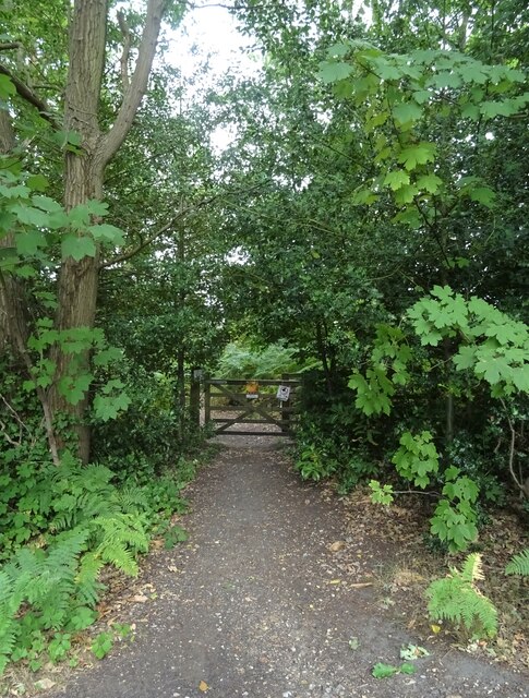
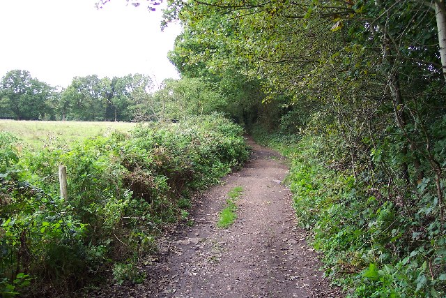
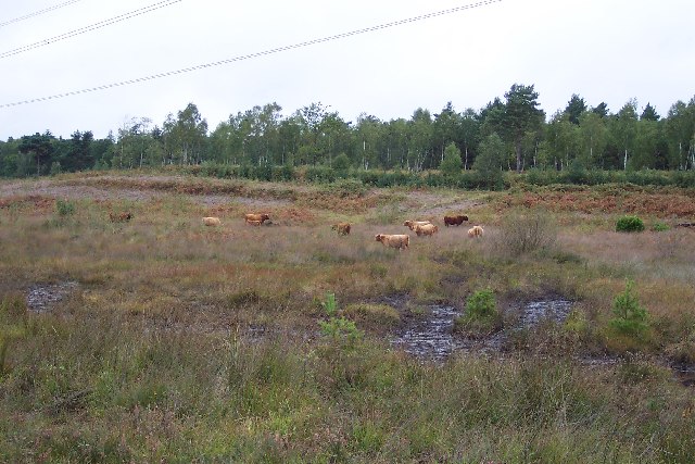
Walking along the well-maintained trails, visitors can immerse themselves in the tranquility of Bending Oak. The soft rustling of leaves underfoot and the melodious songs of birds create a soothing soundtrack for exploration. Wildlife is abundant in the wood, with sightings of deer, squirrels, and various species of birds being a common occurrence.

Bending Oak is also a popular destination for outdoor activities such as hiking, picnicking, and photography. The forest offers numerous scenic spots, including open clearings and hidden glens, which provide ideal locations for capturing the beauty of nature on camera.

Overall, Bending Oak, Surrey is a captivating wood that offers a peaceful retreat from the hustle and bustle of city life. Its idyllic setting and diverse ecosystem make it a must-visit destination for those seeking a connection with nature.

If you have any feedback on the listing, please let us know in the comments section below.

Bending Oak Images

Images are sourced within 2km of 51.326467/-0.68658552 or Grid Reference SU9159. Thanks to Geograph Open Source API. All images are credited.

Westend Common South of Red Road.
Westend Common
South of Red Road.
Path onto Westend Common From Red Road.
Path onto Westend Common
From Red Road.
Red Road (B311) Towards Frimley.
Red Road (B311)
Towards Frimley.
Macdonald Road Off Red Road (B311).
Macdonald Road
Off Red Road (B311).
Red Road (B311)
Red Road (B311)
Path beside the B3015, Heatherside Corner
Upper Chobham Road (B311) Towards Frimley.
Upper Chobham Road (B311)
Towards Frimley.
George V postbox on Upper Chobham Road, Camberley Postbox No. GU15 11.
George V postbox on Upper Chobham Road, Camberley
Postbox No. GU15 11.
7 Pigeons, 1 Tree Not a partridge in a pear tree, but 7 pigeons feeding from the gum present on the buds on this tree.
7 Pigeons, 1 Tree
Not a partridge in a pear tree, but 7 pigeons feeding from the gum present on the buds on this tree.
Priest Lane Priest Lane is, nowadays, a bridle path running along the edge of the army ranges and connecting Lucas Farm Road with the delightfully-named Donkeytown. Looking north.
Priest Lane
Priest Lane is, nowadays, a bridle path running along the edge of the army ranges and connecting Lucas Farm Road with the delightfully-named Donkeytown. Looking north.
Highland cattle on Folly Bog Folly Bog is an area that lies between the northern edge of the Pirbright Ranges danger area and Red Road. Although owned by the MOD it is cared for by the Surrey Wildlife Trust. As an experiment and in order to help the boggy conditions to revive, the Trust has brought in a herd of Highland cattle to keep the invasive scrub under control. So far, according to the rangers, the experiment seems to be working well, tender birch shoots seeming to be very much to the cattle's liking. The boggy conditions can be seen in the foreground (and around the photographer's feet!). Pity about the overhead power lines.
Highland cattle on Folly Bog
Folly Bog is an area that lies between the northern edge of the Pirbright Ranges danger area and Red Road. Although owned by the MOD it is cared for by the Surrey Wildlife Trust. As an experiment and in order to help the boggy conditions to revive, the Trust has brought in a herd of Highland cattle to keep the invasive scrub under control. So far, according to the rangers, the experiment seems to be working well, tender birch shoots seeming to be very much to the cattle's liking. The boggy conditions can be seen in the foreground (and around the photographer's feet!). Pity about the overhead power lines.
Looking over the ranges Looking across the northwest corner of the Pirbright Ranges danger area from the range perimeter track. Chobham Ridges are in the distance and mark the western boundary of the ranges. Looking SW.
Looking over the ranges
Looking across the northwest corner of the Pirbright Ranges danger area from the range perimeter track. Chobham Ridges are in the distance and mark the western boundary of the ranges. Looking SW.
Housing near Camberley This is the junction of Ravenstone Road and Inglewood Avenue. This is very near the ranges and so on exercise days could be noisy.
Housing near Camberley
This is the junction of Ravenstone Road and Inglewood Avenue. This is very near the ranges and so on exercise days could be noisy.
Pirbright Ranges Taken through the perimeter gate near Hagthorne Cottage. Access is just ordinarily possible this far.
Pirbright Ranges
Taken through the perimeter gate near Hagthorne Cottage. Access is just ordinarily possible this far.
Bridleway to Heatherside Corner The white-painted tree trunks show the route across the MOD's vehicle testing tracks.
Bridleway to Heatherside Corner
The white-painted tree trunks show the route across the MOD's vehicle testing tracks.
Trimmed Trees, Eskdale Way Trimmed trees in Eskdale Way. Crossing the rear of the picture are the line of Pines which formed the drive to Brookwood House, (now Ridgewood Centre).
Trimmed Trees, Eskdale Way
Trimmed trees in Eskdale Way. Crossing the rear of the picture are the line of Pines which formed the drive to Brookwood House, (now Ridgewood Centre).
Wellingtonia Pine Avenue 1 An avenue of Wellingtonia pines stretched from the Upper Chobham Road to Brookwood House, (now the Ridgewood Centre). This photo shows the top of the avenue as seen from where it crosses Inglewood Avenue. For another view along the avenue refer to picture <a href="https://www.geograph.org.uk/photo/744101">SU9059 : Wellingtonia Pine, Longlands Way</a>. For a view of the avenue in 2016 refer to picture <a href="https://www.geograph.org.uk/photo/5223288">SU9059 : Longlands Way, Camberley</a>.
Wellingtonia Pine Avenue 1
An avenue of Wellingtonia pines stretched from the Upper Chobham Road to Brookwood House, (now the Ridgewood Centre). This photo shows the top of the avenue as seen from where it crosses Inglewood Avenue. For another view along the avenue refer to picture SU9059 : Wellingtonia Pine, Longlands Way. For a view of the avenue in 2016 refer to picture SU9059 : Longlands Way, Camberley.
Copped Hall Estate, Camberley Looking across the green 'island' between Green Hill Close and Green Hill Road.
Copped Hall Estate, Camberley
Looking across the green 'island' between Green Hill Close and Green Hill Road.
Show me another place!

Bending Oak is located at Grid Ref: SU9159 (Lat: 51.326467, Lng: -0.68658552)

Administrative County: Surrey

District: Surrey Heath

Police Authority: Surrey

What 3 Words

///broadcast.bags.detail. Near Lightwater, Surrey

Related Wikis

The Wheatsheaf, Camberley

The Wheatsheaf is a grade II listed public house in Heatherside, Camberley, Surrey. It was designed by John and Sylvia Reid and opened in 1970. It has...

Deepcut

Deepcut is a village in the borough of Surrey Heath in Surrey, England, approximately 28 mi (45 km) southwest of central London. The nearest towns are...

The Flashes

The Flashes is a 115.1-hectare (284-acre) Local Nature Reserve west of Godalming in Surrey. It is owned by the National Trust and managed by Waverley...

Bisley and West End Commons

Bisley and West End Commons is a 37.2-hectare (92-acre) Local Nature Reserve west of Woking in Surrey. It is part of the 46-hectare (110-acre) Bisley...

Princess Royal Barracks, Deepcut

The Princess Royal Barracks, Deepcut, commonly referred to as Deepcut Barracks, is a former British Army installation near Camberley, Surrey. It was the...

Bisley Camp railway station

Bisley Camp railway station served the National Rifle Association in Bisley, Surrey, England, from 1890 to 1952 on Bisley Camp branch line. == History... ==

Tomlinscote School

Tomlinscote School is a coeducational secondary school with academy status, located in Frimley, Surrey, England. The school previously held specialist...

Brentmoor Heath

Brentmoor Heath is a 28.6-hectare (71-acre) Local Nature Reserve east of Camberley in Surrey. It is part of Brentmoor Heath and Folly Bog nature reserve...

Nearby Amenities

Located within 500m of 51.326467,-0.68658552
Strawberry Bottom
Landuse: military
Natural: heath
Lat/Long: 51.3285834/-0.6894831
Strawberry Bottom
Place: locality
Lat/Long: 51.3294833/-0.6863064
Dean's Bottom
Place: locality
Lat/Long: 51.3255681/-0.6910271
The data included in this document is from www.openstreetmap.org. The data is made available under ODbL.

Have you been to Bending Oak?

Leave your review of Bending Oak below (or comments, questions and feedback).