Strawberry Bottom

Valley in Surrey Surrey Heath

England

Strawberry Bottom

Westend Common South of Red Road.
Westend Common Credit: JThomas

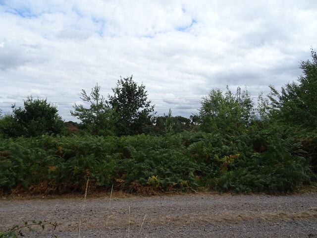
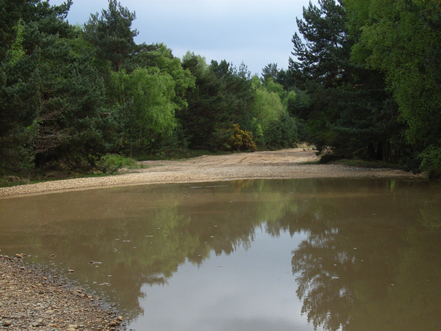
Strawberry Bottom is a picturesque valley located in the county of Surrey, England. Situated in the southern part of the county, this idyllic area is renowned for its natural beauty and tranquil surroundings. The valley takes its name from the abundance of wild strawberries that grow in the area during the summer months.

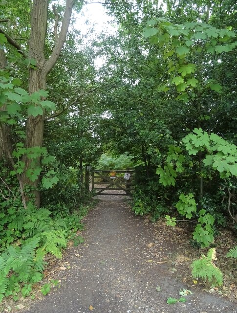
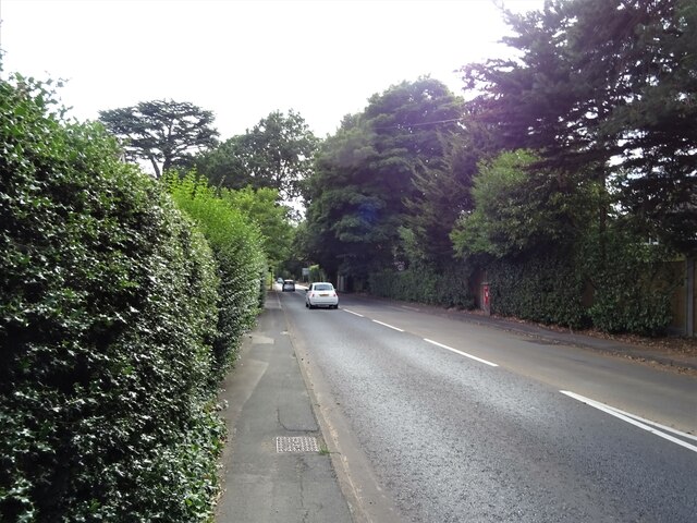
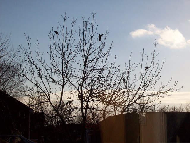
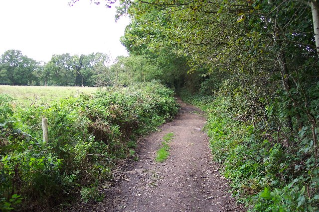
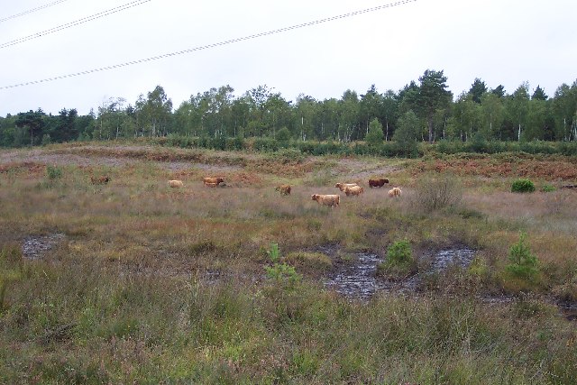
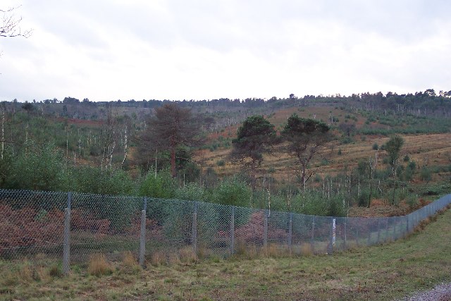
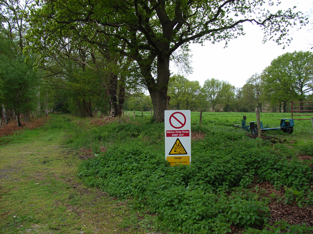
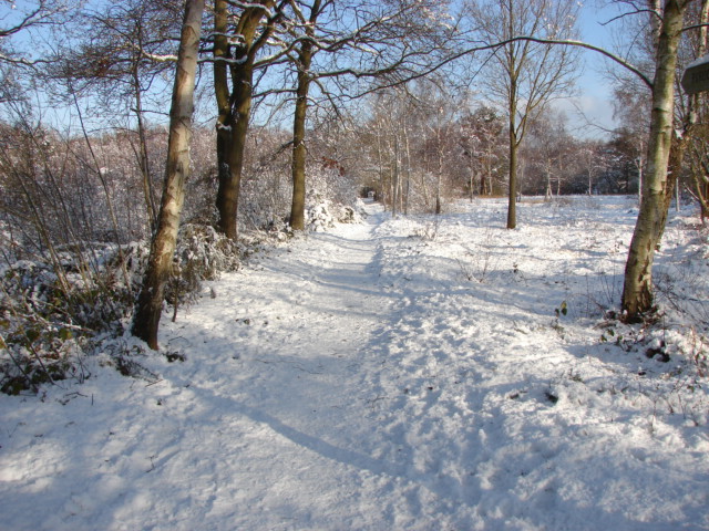
Bordered by rolling hills and lush green meadows, Strawberry Bottom is a haven for nature lovers and outdoor enthusiasts. The valley is home to a diverse range of flora and fauna, with numerous walking trails and nature reserves offering opportunities for exploration and wildlife spotting. Visitors can expect to see various species of birds, butterflies, and small mammals while wandering through the valley.

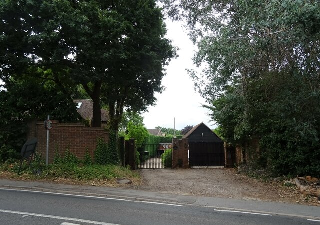
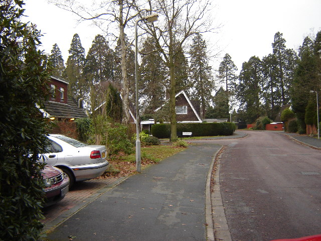
The charming village of Strawberry Bottom is nestled within the valley, offering a quaint and peaceful atmosphere. The village boasts a handful of traditional cottages, some of which date back several centuries, giving visitors a glimpse into the area's rich history. There is also a small village pub, known for its friendly ambiance and locally sourced food and drinks.

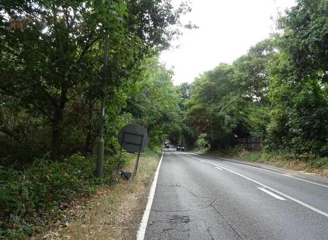
Strawberry Bottom is a popular destination for day trips and weekend getaways, attracting both locals and tourists alike. Its proximity to other attractions in Surrey, such as historic landmarks and country estates, makes it an ideal base for exploring the region. Whether it's leisurely walks through the scenic countryside or simply basking in the tranquility of nature, Strawberry Bottom offers a rejuvenating escape from the hustle and bustle of everyday life.

If you have any feedback on the listing, please let us know in the comments section below.

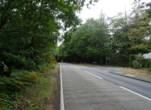
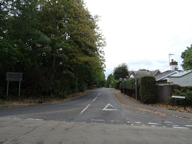
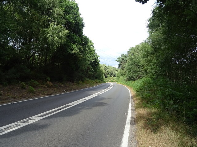
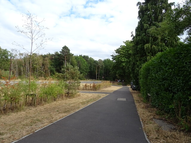
Strawberry Bottom Images

Images are sourced within 2km of 51.329611/-0.68385467 or Grid Reference SU9159. Thanks to Geograph Open Source API. All images are credited.

Westend Common South of Red Road.
Westend Common
South of Red Road.
Gateway on Red Road (B311)
Red Road (B311) Towards Frimley.
Red Road (B311)
Towards Frimley.
Path onto Westend Common From Red Road.
Path onto Westend Common
From Red Road.
Red Road (B311) Towards Frimley.
Red Road (B311)
Towards Frimley.
Macdonald Road Off Red Road (B311).
Macdonald Road
Off Red Road (B311).
Red Road (B311)
Red Road (B311)
Path beside the B3015, Heatherside Corner
Upper Chobham Road (B311) Towards Frimley.
Upper Chobham Road (B311)
Towards Frimley.
George V postbox on Upper Chobham Road, Camberley Postbox No. GU15 11.
George V postbox on Upper Chobham Road, Camberley
Postbox No. GU15 11.
7 Pigeons, 1 Tree Not a partridge in a pear tree, but 7 pigeons feeding from the gum present on the buds on this tree.
7 Pigeons, 1 Tree
Not a partridge in a pear tree, but 7 pigeons feeding from the gum present on the buds on this tree.
Priest Lane Priest Lane is, nowadays, a bridle path running along the edge of the army ranges and connecting Lucas Farm Road with the delightfully-named Donkeytown. Looking north.
Priest Lane
Priest Lane is, nowadays, a bridle path running along the edge of the army ranges and connecting Lucas Farm Road with the delightfully-named Donkeytown. Looking north.
Folly Bog Folly Bog is an area that lies between the northern edge of the Pirbright Ranges danger area and Red Road. Although owned by the MOD it is cared for by the Surrey Wildlife Trust. As an experiment and in order to help the boggy conditions to revive, the Trust has brought in a herd of Highland cattle to keep the invasive scrub under control. So far, according to the rangers, the experiment seems to be working well, tender birch shoots seeming to be very much to the cattle's liking. In order to prevent the cattle wandering it has been necessary to install fencing and cattle grids.
Folly Bog
Folly Bog is an area that lies between the northern edge of the Pirbright Ranges danger area and Red Road. Although owned by the MOD it is cared for by the Surrey Wildlife Trust. As an experiment and in order to help the boggy conditions to revive, the Trust has brought in a herd of Highland cattle to keep the invasive scrub under control. So far, according to the rangers, the experiment seems to be working well, tender birch shoots seeming to be very much to the cattle's liking. In order to prevent the cattle wandering it has been necessary to install fencing and cattle grids.
Highland cattle on Folly Bog Folly Bog is an area that lies between the northern edge of the Pirbright Ranges danger area and Red Road. Although owned by the MOD it is cared for by the Surrey Wildlife Trust. As an experiment and in order to help the boggy conditions to revive, the Trust has brought in a herd of Highland cattle to keep the invasive scrub under control. So far, according to the rangers, the experiment seems to be working well, tender birch shoots seeming to be very much to the cattle's liking. The boggy conditions can be seen in the foreground (and around the photographer's feet!). Pity about the overhead power lines.
Highland cattle on Folly Bog
Folly Bog is an area that lies between the northern edge of the Pirbright Ranges danger area and Red Road. Although owned by the MOD it is cared for by the Surrey Wildlife Trust. As an experiment and in order to help the boggy conditions to revive, the Trust has brought in a herd of Highland cattle to keep the invasive scrub under control. So far, according to the rangers, the experiment seems to be working well, tender birch shoots seeming to be very much to the cattle's liking. The boggy conditions can be seen in the foreground (and around the photographer's feet!). Pity about the overhead power lines.
Looking over the ranges Looking across the northwest corner of the Pirbright Ranges danger area from the range perimeter track. Chobham Ridges are in the distance and mark the western boundary of the ranges. Looking SW.
Looking over the ranges
Looking across the northwest corner of the Pirbright Ranges danger area from the range perimeter track. Chobham Ridges are in the distance and mark the western boundary of the ranges. Looking SW.
Housing near Camberley This is the junction of Ravenstone Road and Inglewood Avenue. This is very near the ranges and so on exercise days could be noisy.
Housing near Camberley
This is the junction of Ravenstone Road and Inglewood Avenue. This is very near the ranges and so on exercise days could be noisy.
Pirbright Ranges Taken through the perimeter gate near Hagthorne Cottage. Access is just ordinarily possible this far.
Pirbright Ranges
Taken through the perimeter gate near Hagthorne Cottage. Access is just ordinarily possible this far.
Vehicle testing track, Camberley The MOD has a complex network of tracks here. They are crossed by a couple of bridleways with copious warnings. All was peaceful on this occasion though.
Vehicle testing track, Camberley
The MOD has a complex network of tracks here. They are crossed by a couple of bridleways with copious warnings. All was peaceful on this occasion though.
Show me another place!

Strawberry Bottom is located at Grid Ref: SU9159 (Lat: 51.329611, Lng: -0.68385467)

Administrative County: Surrey

District: Surrey Heath

Police Authority: Surrey

What 3 Words

///workshop.twin.defenders. Near Lightwater, Surrey

Related Wikis

The Wheatsheaf, Camberley

The Wheatsheaf is a grade II listed public house in Heatherside, Camberley, Surrey. It was designed by John and Sylvia Reid and opened in 1970. It has...

Deepcut

Deepcut is a village in the borough of Surrey Heath in Surrey, England, approximately 28 mi (45 km) southwest of central London. The nearest towns are...

The Flashes

The Flashes is a 115.1-hectare (284-acre) Local Nature Reserve west of Godalming in Surrey. It is owned by the National Trust and managed by Waverley...

Bisley and West End Commons

Bisley and West End Commons is a 37.2-hectare (92-acre) Local Nature Reserve west of Woking in Surrey. It is part of the 46-hectare (110-acre) Bisley...

Brentmoor Heath

Brentmoor Heath is a 28.6-hectare (71-acre) Local Nature Reserve east of Camberley in Surrey. It is part of Brentmoor Heath and Folly Bog nature reserve...

Surrey Heath (UK Parliament constituency)

Surrey Heath is a constituency represented in the House of Commons of the UK Parliament since 2005 by Michael Gove, a Conservative who has also been the...

Lightwater

Lightwater is a village in the Surrey Heath district of Surrey, England, about 27 miles (43 km) southwest of central London. Immediately surrounding towns...

Bisley Camp railway station

Bisley Camp railway station served the National Rifle Association in Bisley, Surrey, England, from 1890 to 1952 on Bisley Camp branch line. == History... ==

Nearby Amenities

Located within 500m of 51.329611,-0.68385467
West End Common
Natural: heath
Place: locality
Lat/Long: 51.3317113/-0.6824831
Strawberry Hill
Natural: peak
Source: OS 1:25k
Lat/Long: 51.3318382/-0.6890335
Strawberry Bottom
Landuse: military
Natural: heath
Lat/Long: 51.3285834/-0.6894831
Strawberry Bottom
Place: locality
Lat/Long: 51.3294833/-0.6863064
The data included in this document is from www.openstreetmap.org. The data is made available under ODbL.

Have you been to Strawberry Bottom?

Leave your review of Strawberry Bottom below (or comments, questions and feedback).