Strawberry Hill

Hill, Mountain in Surrey Surrey Heath

England

Strawberry Hill

Westend Common South of Red Road.
Westend Common Credit: JThomas

Strawberry Hill, located in Surrey, England, is a picturesque suburban area known for its tranquil environment and stunning natural beauty. Despite its name, Strawberry Hill is not a hill or a mountain but rather a residential area nestled within the larger borough of Richmond upon Thames.

Situated just 10 miles southwest of central London, Strawberry Hill offers a peaceful retreat from the bustling city. The area is characterized by its leafy streets, well-maintained gardens, and elegant Georgian and Victorian architecture. It is a popular choice for those seeking a quieter and more relaxed lifestyle while still having easy access to the amenities of the city.

One of the main attractions in Strawberry Hill is the iconic Strawberry Hill House, a Gothic revival villa built in the 18th century. This stunning mansion, designed by Horace Walpole, is considered a masterpiece of Georgian architecture. With its turrets, battlements, and ornate interiors, Strawberry Hill House is a must-visit for history and architecture enthusiasts.

In addition to its architectural wonders, Strawberry Hill boasts an abundance of green spaces. Residents and visitors can enjoy leisurely walks along the nearby River Thames or explore the nearby Richmond Park, one of London's largest royal parks. The park offers expansive meadows, ancient woodlands, and a rich variety of wildlife, making it a favorite spot for nature lovers.

Strawberry Hill also benefits from excellent transport links, with regular train services connecting it to central London in just over 30 minutes. This accessibility, combined with its serene atmosphere and beautiful surroundings, makes Strawberry Hill a highly sought-after residential area for both locals and those looking to escape the city.

If you have any feedback on the listing, please let us know in the comments section below.

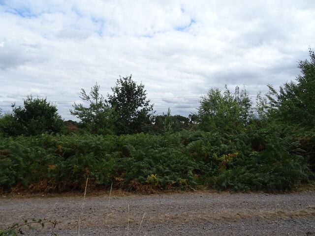
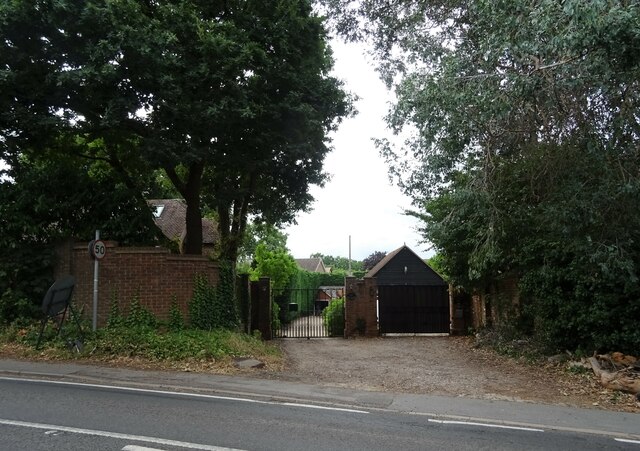
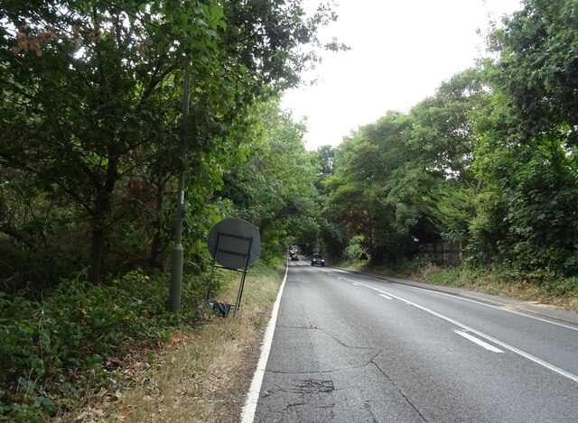
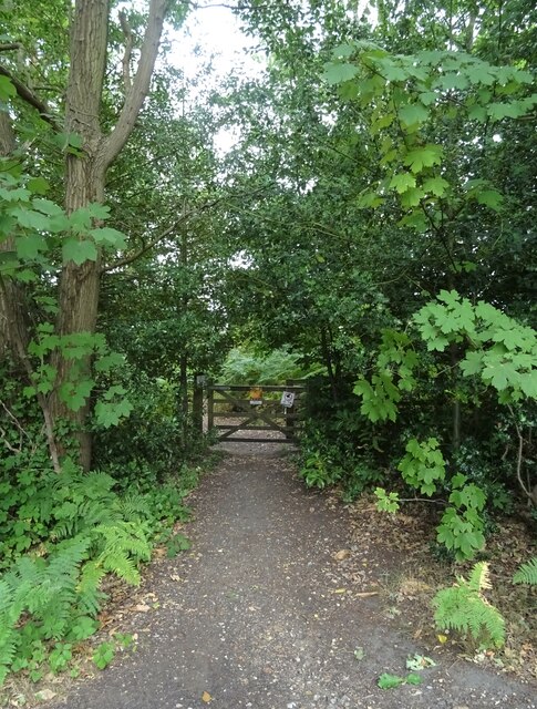
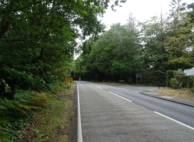
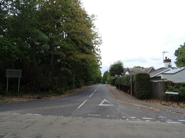
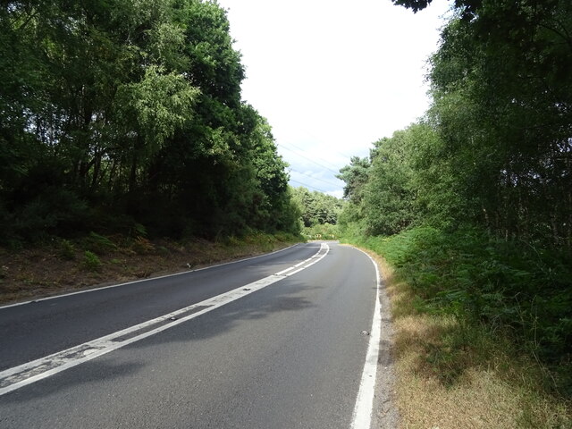
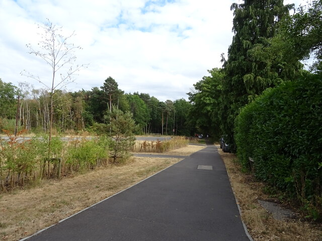
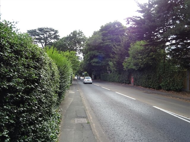
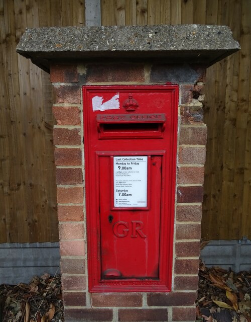
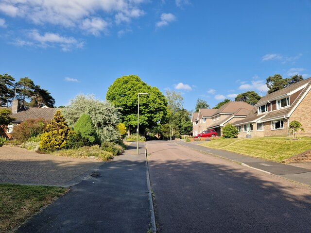
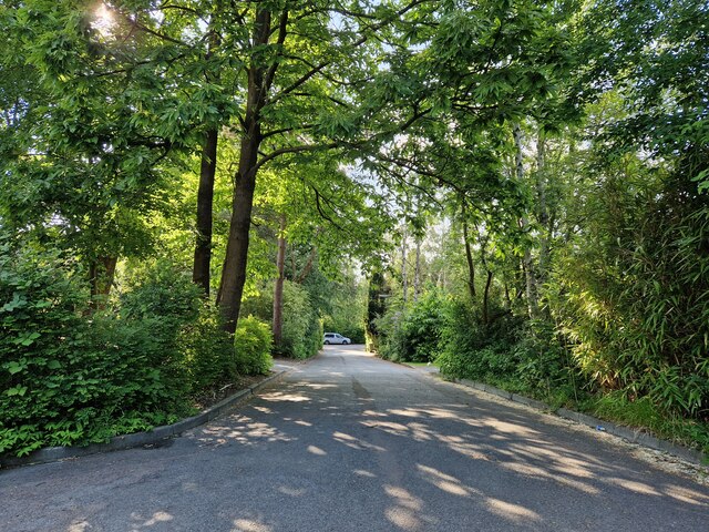
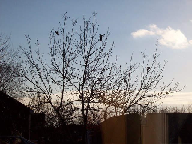
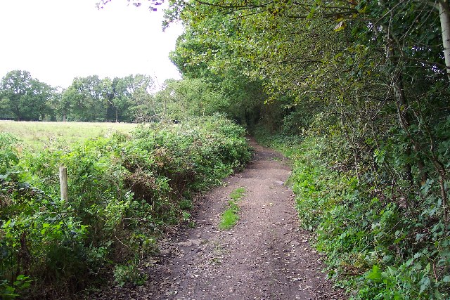
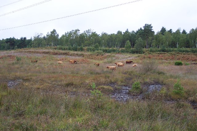
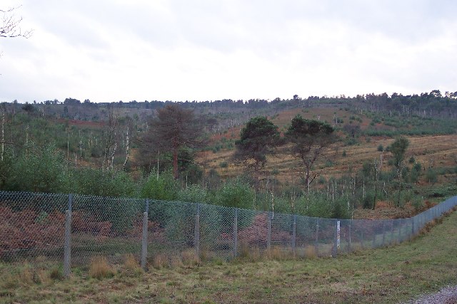
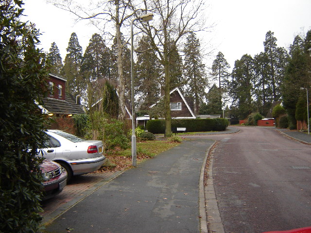
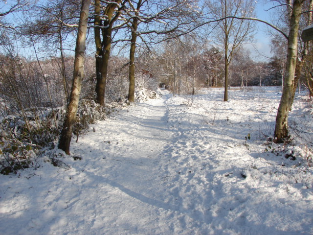
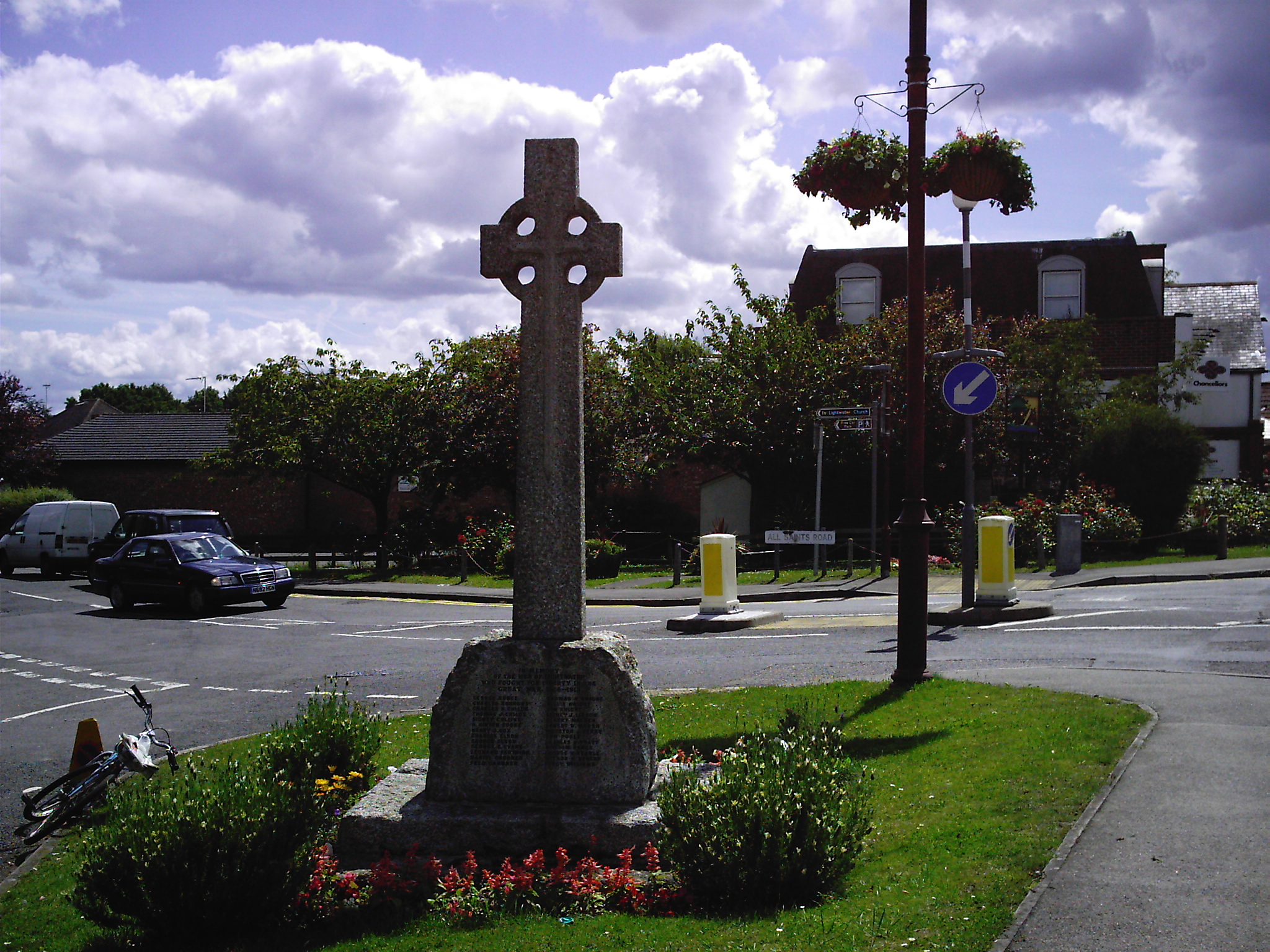
Strawberry Hill Images

Images are sourced within 2km of 51.330831/-0.68522641 or Grid Reference SU9159. Thanks to Geograph Open Source API. All images are credited.

Westend Common South of Red Road.
Westend Common
South of Red Road.
Gateway on Red Road (B311)
Red Road (B311) Towards Frimley.
Red Road (B311)
Towards Frimley.
Path onto Westend Common From Red Road.
Path onto Westend Common
From Red Road.
Red Road (B311) Towards Frimley.
Red Road (B311)
Towards Frimley.
Macdonald Road Off Red Road (B311).
Macdonald Road
Off Red Road (B311).
Red Road (B311)
Red Road (B311)
Path beside the B3015, Heatherside Corner
Upper Chobham Road (B311) Towards Frimley.
Upper Chobham Road (B311)
Towards Frimley.
George V postbox on Upper Chobham Road, Camberley Postbox No. GU15 11.
George V postbox on Upper Chobham Road, Camberley
Postbox No. GU15 11.
Navigating northwards up the Basher (28) Lamppost in Roundway
Navigating northwards up the Basher (28)
Lamppost in Roundway
Navigating northwards up the Basher (27) Looking from Roundway Close into Roundway
Navigating northwards up the Basher (27)
Looking from Roundway Close into Roundway
7 Pigeons, 1 Tree Not a partridge in a pear tree, but 7 pigeons feeding from the gum present on the buds on this tree.
7 Pigeons, 1 Tree
Not a partridge in a pear tree, but 7 pigeons feeding from the gum present on the buds on this tree.
Priest Lane Priest Lane is, nowadays, a bridle path running along the edge of the army ranges and connecting Lucas Farm Road with the delightfully-named Donkeytown. Looking north.
Priest Lane
Priest Lane is, nowadays, a bridle path running along the edge of the army ranges and connecting Lucas Farm Road with the delightfully-named Donkeytown. Looking north.
Folly Bog Folly Bog is an area that lies between the northern edge of the Pirbright Ranges danger area and Red Road. Although owned by the MOD it is cared for by the Surrey Wildlife Trust. As an experiment and in order to help the boggy conditions to revive, the Trust has brought in a herd of Highland cattle to keep the invasive scrub under control. So far, according to the rangers, the experiment seems to be working well, tender birch shoots seeming to be very much to the cattle's liking. In order to prevent the cattle wandering it has been necessary to install fencing and cattle grids.
Folly Bog
Folly Bog is an area that lies between the northern edge of the Pirbright Ranges danger area and Red Road. Although owned by the MOD it is cared for by the Surrey Wildlife Trust. As an experiment and in order to help the boggy conditions to revive, the Trust has brought in a herd of Highland cattle to keep the invasive scrub under control. So far, according to the rangers, the experiment seems to be working well, tender birch shoots seeming to be very much to the cattle's liking. In order to prevent the cattle wandering it has been necessary to install fencing and cattle grids.
Highland cattle on Folly Bog Folly Bog is an area that lies between the northern edge of the Pirbright Ranges danger area and Red Road. Although owned by the MOD it is cared for by the Surrey Wildlife Trust. As an experiment and in order to help the boggy conditions to revive, the Trust has brought in a herd of Highland cattle to keep the invasive scrub under control. So far, according to the rangers, the experiment seems to be working well, tender birch shoots seeming to be very much to the cattle's liking. The boggy conditions can be seen in the foreground (and around the photographer's feet!). Pity about the overhead power lines.
Highland cattle on Folly Bog
Folly Bog is an area that lies between the northern edge of the Pirbright Ranges danger area and Red Road. Although owned by the MOD it is cared for by the Surrey Wildlife Trust. As an experiment and in order to help the boggy conditions to revive, the Trust has brought in a herd of Highland cattle to keep the invasive scrub under control. So far, according to the rangers, the experiment seems to be working well, tender birch shoots seeming to be very much to the cattle's liking. The boggy conditions can be seen in the foreground (and around the photographer's feet!). Pity about the overhead power lines.
Looking over the ranges Looking across the northwest corner of the Pirbright Ranges danger area from the range perimeter track. Chobham Ridges are in the distance and mark the western boundary of the ranges. Looking SW.
Looking over the ranges
Looking across the northwest corner of the Pirbright Ranges danger area from the range perimeter track. Chobham Ridges are in the distance and mark the western boundary of the ranges. Looking SW.
Housing near Camberley This is the junction of Ravenstone Road and Inglewood Avenue. This is very near the ranges and so on exercise days could be noisy.
Housing near Camberley
This is the junction of Ravenstone Road and Inglewood Avenue. This is very near the ranges and so on exercise days could be noisy.
Show me another place!

Strawberry Hill is located at Grid Ref: SU9159 (Lat: 51.330831, Lng: -0.68522641)

Administrative County: Surrey

District: Surrey Heath

Police Authority: Surrey

What 3 Words

///engrossed.vibrating.feeds. Near Lightwater, Surrey

Related Wikis

The Wheatsheaf, Camberley

The Wheatsheaf is a grade II listed public house in Heatherside, Camberley, Surrey. It was designed by John and Sylvia Reid and opened in 1970. It has...

Brentmoor Heath

Brentmoor Heath is a 28.6-hectare (71-acre) Local Nature Reserve east of Camberley in Surrey. It is part of Brentmoor Heath and Folly Bog nature reserve...

Deepcut

Deepcut is a village in the borough of Surrey Heath in Surrey, England, approximately 28 mi (45 km) southwest of central London. The nearest towns are...

Surrey Heath (UK Parliament constituency)

Surrey Heath is a constituency represented in the House of Commons of the UK Parliament since 2005 by Michael Gove, a Conservative who has also been the...

The Flashes

The Flashes is a 115.1-hectare (284-acre) Local Nature Reserve west of Godalming in Surrey. It is owned by the National Trust and managed by Waverley...

Bisley and West End Commons

Bisley and West End Commons is a 37.2-hectare (92-acre) Local Nature Reserve west of Woking in Surrey. It is part of the 46-hectare (110-acre) Bisley...

Lightwater

Lightwater is a village in the Surrey Heath district of Surrey, England, about 27 miles (43 km) southwest of central London. Immediately surrounding towns...

Jolly Farmer

The Jolly Farmer, formerly the Golden Farmer, is a former pub and roundabout on the boundary between Camberley and Bagshot in Surrey, England. The pub...

Nearby Amenities

Located within 500m of 51.330831,-0.68522641
West End Common
Natural: heath
Place: locality
Lat/Long: 51.3317113/-0.6824831
Strawberry Hill
Natural: peak
Source: OS 1:25k
Lat/Long: 51.3318382/-0.6890335
Strawberry Bottom
Landuse: military
Natural: heath
Lat/Long: 51.3285834/-0.6894831
Strawberry Bottom
Place: locality
Lat/Long: 51.3294833/-0.6863064
Great Bottom
Place: locality
Lat/Long: 51.3344183/-0.6860489
The data included in this document is from www.openstreetmap.org. The data is made available under ODbL.

Have you been to Strawberry Hill?

Leave your review of Strawberry Hill below (or comments, questions and feedback).