Dean's Bottom

Valley in Surrey Surrey Heath

England

Dean's Bottom

Path onto Westend Common From Red Road.
Path onto Westend Common Credit: JThomas

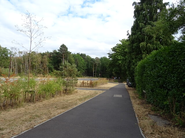
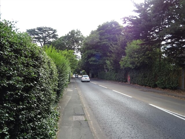
Dean's Bottom is a small valley located in Surrey, England. Nestled within the North Downs, it stretches for approximately 3 miles and is renowned for its picturesque beauty and tranquil atmosphere. The valley is situated near the village of Westcott, southeast of Dorking.

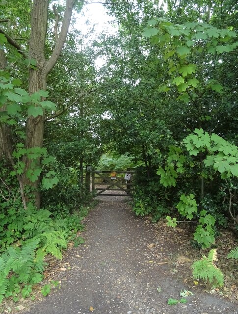
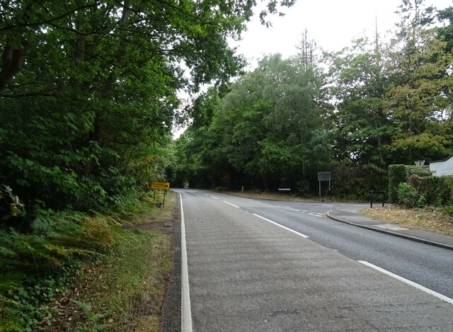
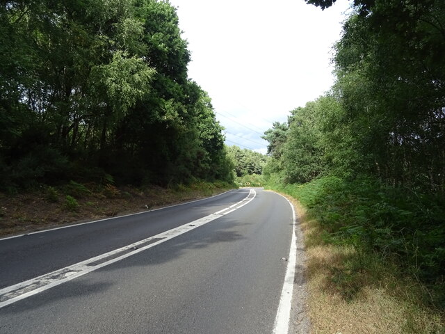
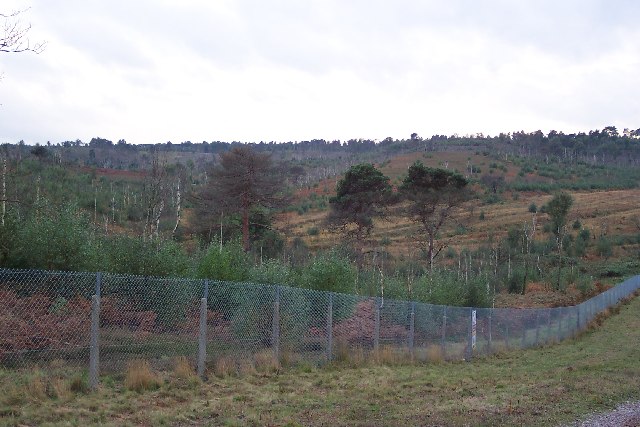
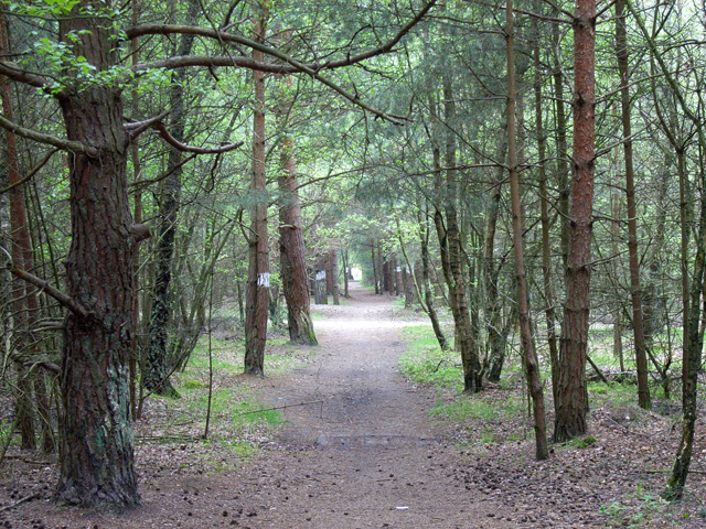
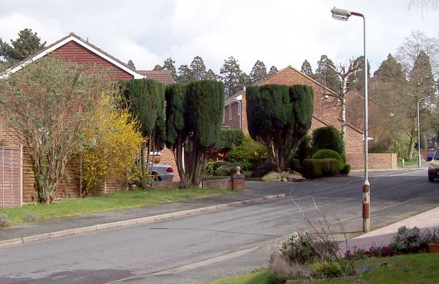
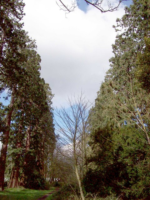
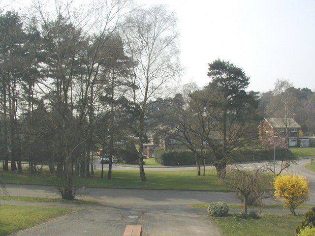
Dean's Bottom is characterized by its rolling hills, lush green fields, and dense woodlands that contribute to its idyllic scenery. The valley is intersected by several small streams and rivulets, which add to its charm. The rich biodiversity of the area makes it a popular destination for nature lovers and hikers, as it offers a variety of walking trails and paths.

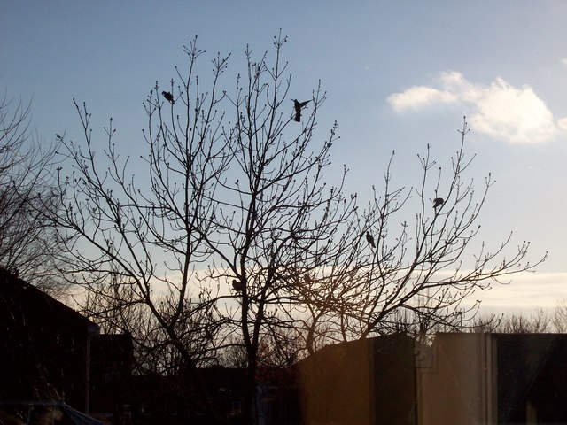
Historically, Dean's Bottom has been a part of the Surrey Hills Area of Outstanding Natural Beauty, a designation that recognizes its exceptional landscape and environmental value. The valley is home to a diverse range of flora and fauna, including several species of wildflowers, birds, and mammals.

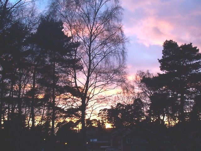
The tranquility and natural beauty of Dean's Bottom have attracted artists, photographers, and writers over the years, seeking inspiration from its serene surroundings. The valley provides a peaceful retreat from the hustle and bustle of nearby urban areas, making it a favorite spot for relaxation and contemplation.

Overall, Dean's Bottom is a hidden gem in Surrey, offering visitors a chance to immerse themselves in the beauty of the English countryside and enjoy a peaceful respite in nature.

If you have any feedback on the listing, please let us know in the comments section below.

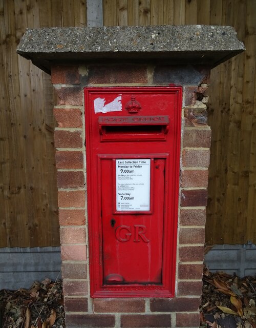
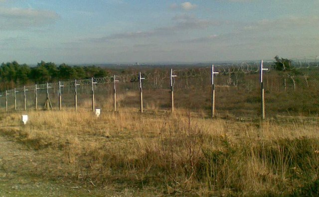
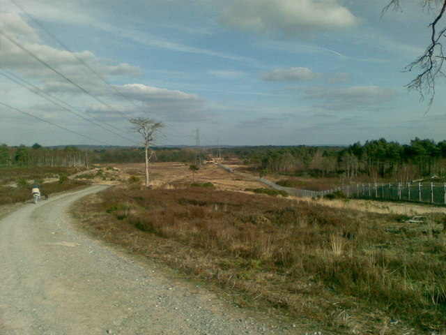
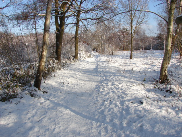
Dean's Bottom Images

Images are sourced within 2km of 51.325727/-0.69036696 or Grid Reference SU9159. Thanks to Geograph Open Source API. All images are credited.

Path onto Westend Common From Red Road.
Path onto Westend Common
From Red Road.
Red Road (B311) Towards Frimley.
Red Road (B311)
Towards Frimley.
Macdonald Road Off Red Road (B311).
Macdonald Road
Off Red Road (B311).
Red Road (B311)
Red Road (B311)
Path beside the B3015, Heatherside Corner
Upper Chobham Road (B311) Towards Frimley.
Upper Chobham Road (B311)
Towards Frimley.
George V postbox on Upper Chobham Road, Camberley Postbox No. GU15 11.
George V postbox on Upper Chobham Road, Camberley
Postbox No. GU15 11.
7 Pigeons, 1 Tree Not a partridge in a pear tree, but 7 pigeons feeding from the gum present on the buds on this tree.
7 Pigeons, 1 Tree
Not a partridge in a pear tree, but 7 pigeons feeding from the gum present on the buds on this tree.
Looking over the ranges Looking across the northwest corner of the Pirbright Ranges danger area from the range perimeter track. Chobham Ridges are in the distance and mark the western boundary of the ranges. Looking SW.
Looking over the ranges
Looking across the northwest corner of the Pirbright Ranges danger area from the range perimeter track. Chobham Ridges are in the distance and mark the western boundary of the ranges. Looking SW.
Housing near Camberley This is the junction of Ravenstone Road and Inglewood Avenue. This is very near the ranges and so on exercise days could be noisy.
Housing near Camberley
This is the junction of Ravenstone Road and Inglewood Avenue. This is very near the ranges and so on exercise days could be noisy.
Pirbright Ranges Taken through the perimeter gate near Hagthorne Cottage. Access is just ordinarily possible this far.
Pirbright Ranges
Taken through the perimeter gate near Hagthorne Cottage. Access is just ordinarily possible this far.
Bridleway to Heatherside Corner The white-painted tree trunks show the route across the MOD's vehicle testing tracks.
Bridleway to Heatherside Corner
The white-painted tree trunks show the route across the MOD's vehicle testing tracks.
Trimmed Trees, Eskdale Way Trimmed trees in Eskdale Way. Crossing the rear of the picture are the line of Pines which formed the drive to Brookwood House, (now Ridgewood Centre).
Trimmed Trees, Eskdale Way
Trimmed trees in Eskdale Way. Crossing the rear of the picture are the line of Pines which formed the drive to Brookwood House, (now Ridgewood Centre).
Wellingtonia Pine Avenue 1 An avenue of Wellingtonia pines stretched from the Upper Chobham Road to Brookwood House, (now the Ridgewood Centre). This photo shows the top of the avenue as seen from where it crosses Inglewood Avenue. For another view along the avenue refer to picture <a href="https://www.geograph.org.uk/photo/744101">SU9059 : Wellingtonia Pine, Longlands Way</a>. For a view of the avenue in 2016 refer to picture <a href="https://www.geograph.org.uk/photo/5223288">SU9059 : Longlands Way, Camberley</a>.
Wellingtonia Pine Avenue 1
An avenue of Wellingtonia pines stretched from the Upper Chobham Road to Brookwood House, (now the Ridgewood Centre). This photo shows the top of the avenue as seen from where it crosses Inglewood Avenue. For another view along the avenue refer to picture SU9059 : Wellingtonia Pine, Longlands Way. For a view of the avenue in 2016 refer to picture SU9059 : Longlands Way, Camberley.
Copped Hall Estate, Camberley Looking across the green 'island' between Green Hill Close and Green Hill Road.
Copped Hall Estate, Camberley
Looking across the green 'island' between Green Hill Close and Green Hill Road.
Winter Sunset over Copped Hall, Camberley A winter sunset from Green Hill Close
Winter Sunset over Copped Hall, Camberley
A winter sunset from Green Hill Close
Woking over the Ranges The photo is a view over the Chobham Ranges, (Surrey Heath), from the Northern perimeter fence. In the distance the can be seen the town of Woking.
Woking over the Ranges
The photo is a view over the Chobham Ranges, (Surrey Heath), from the Northern perimeter fence. In the distance the can be seen the town of Woking.
The edge of Surrey Heath The photo shows the Northern perimeter fence of the Chobham, (Bisley), ranges which are located on Surrey Heathland. To the left of the photo is Red Road, which marks a change in the soil structure from Heathland to Woodland. The road in the photo is the inspection road for the razor wire protected fence, which extends around the 'overshoot' for the ranges.
The edge of Surrey Heath
The photo shows the Northern perimeter fence of the Chobham, (Bisley), ranges which are located on Surrey Heathland. To the left of the photo is Red Road, which marks a change in the soil structure from Heathland to Woodland. The road in the photo is the inspection road for the razor wire protected fence, which extends around the 'overshoot' for the ranges.
Show me another place!

Dean's Bottom is located at Grid Ref: SU9159 (Lat: 51.325727, Lng: -0.69036696)

Administrative County: Surrey

District: Surrey Heath

Police Authority: Surrey

What 3 Words

///hypocrite.extent.contained. Near Lightwater, Surrey

Related Wikis

The Wheatsheaf, Camberley

The Wheatsheaf is a grade II listed public house in Heatherside, Camberley, Surrey. It was designed by John and Sylvia Reid and opened in 1970. It has...

Deepcut

Deepcut is a village in the borough of Surrey Heath in Surrey, England, approximately 28 mi (45 km) southwest of central London. The nearest towns are...

Tomlinscote School

Tomlinscote School is a coeducational secondary school with academy status, located in Frimley, Surrey, England. The school previously held specialist...

Princess Royal Barracks, Deepcut

The Princess Royal Barracks, Deepcut, commonly referred to as Deepcut Barracks, is a former British Army installation near Camberley, Surrey. It was the...

The Flashes

The Flashes is a 115.1-hectare (284-acre) Local Nature Reserve west of Godalming in Surrey. It is owned by the National Trust and managed by Waverley...

Bisley and West End Commons

Bisley and West End Commons is a 37.2-hectare (92-acre) Local Nature Reserve west of Woking in Surrey. It is part of the 46-hectare (110-acre) Bisley...

Bisley Camp railway station

Bisley Camp railway station served the National Rifle Association in Bisley, Surrey, England, from 1890 to 1952 on Bisley Camp branch line. == History... ==

Surrey Heath (UK Parliament constituency)

Surrey Heath is a constituency represented in the House of Commons of the UK Parliament since 2005 by Michael Gove, a Conservative who has also been the...

Nearby Amenities

Located within 500m of 51.325727,-0.69036696
Strawberry Bottom
Landuse: military
Natural: heath
Lat/Long: 51.3285834/-0.6894831
Bus Stop
Cheylesmore Drive
Naptan AtcoCode: 40004403188A
Naptan Bearing: N
Naptan BusStopType: CUS
Naptan CommonName: Cheylesmore Drive
Naptan Indicator: Just after
Naptan Landmark: Cheylesmore Drive
Naptan NaptanCode: surgpgmw
Naptan Street: The Maultway
Naptan Verified: no
Public Transport: platform
Source: naptan_import
Lat/Long: 51.3240438/-0.6960653
Dean's Bottom
Place: locality
Lat/Long: 51.3255681/-0.6910271
Crossing
Bicycle: yes
Crossing: uncontrolled
Crossing Island: yes
Kerb: lowered
Sloped Curb: yes
Lat/Long: 51.3280242/-0.696421
Crossing
Bicycle: yes
Crossing: uncontrolled
Crossing Island: yes
Kerb: lowered
Sloped Curb: yes
Lat/Long: 51.3251037/-0.6960759
Barrier: bollard
Lat/Long: 51.3239175/-0.6961626
Bus Stop
Cheylesmore Drive
Naptan AtcoCode: 40004403188B
Naptan Bearing: S
Naptan CommonName: Cheylesmore Drive
Naptan Indicator: Just Before
Naptan Landmark: Cheylesmore Drive
Naptan NaptanCode: surgatdt
Naptan Street: The Maultway
Naptan Verified: no
Public Transport: platform
Source: naptan_import
Lat/Long: 51.3240417/-0.6959038
The data included in this document is from www.openstreetmap.org. The data is made available under ODbL.

Have you been to Dean's Bottom?

Leave your review of Dean's Bottom below (or comments, questions and feedback).