Well Dale
Valley in Yorkshire Ryedale
England
Well Dale
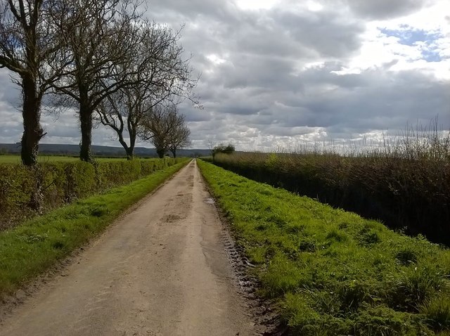
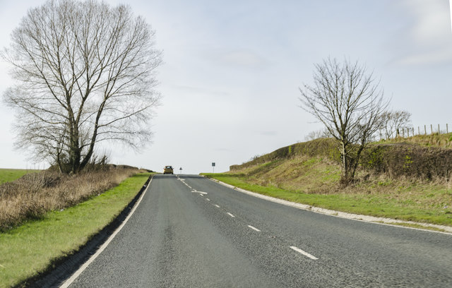
Well Dale is a picturesque valley located in the Yorkshire Dales National Park, England. Situated in the county of Yorkshire, it is a popular tourist destination known for its natural beauty and charming rural atmosphere. The valley is nestled between rolling hills and is defined by a meandering river that flows through its heart.
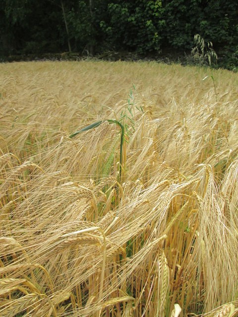
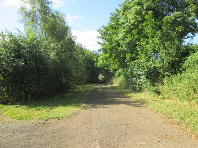
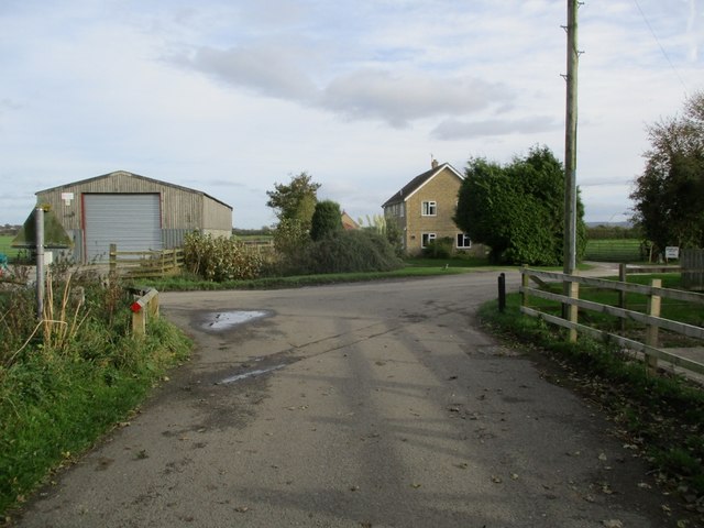
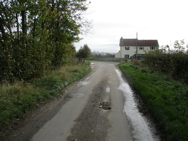
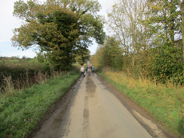
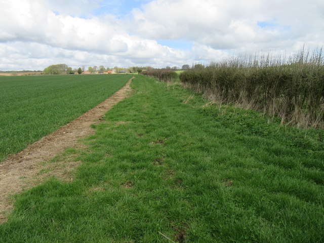
Well Dale is characterized by its lush green landscapes, dotted with traditional stone-built cottages and farmhouses. The valley is renowned for its idyllic scenery, with vibrant meadows and woodlands, making it a haven for nature lovers and hikers. Visitors can enjoy leisurely walks along the riverbanks, surrounded by breathtaking views of the surrounding countryside.
The wildlife in Well Dale is diverse, with various species of birds, mammals, and plants inhabiting the area. It is not uncommon to spot roe deer, rabbits, and a variety of bird species during a visit to the valley. Additionally, the river is home to trout and other freshwater fish, attracting anglers from far and wide.
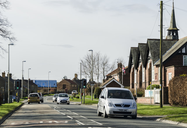
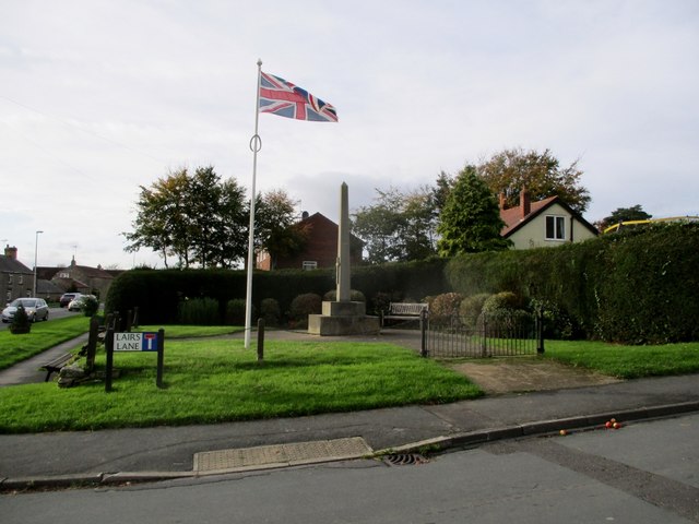
The charming village of Well Dale is the focal point of the valley, with its quaint stone buildings and friendly local community. The village offers a range of amenities, including a few local shops, traditional pubs, and cozy bed and breakfast accommodations for visitors.
Overall, Well Dale is a hidden gem in the heart of the Yorkshire Dales, offering a peaceful retreat for those seeking a countryside escape. Its natural beauty, abundant wildlife, and welcoming community make it a must-visit destination for nature enthusiasts and those looking to experience the charm of rural Yorkshire.
If you have any feedback on the listing, please let us know in the comments section below.
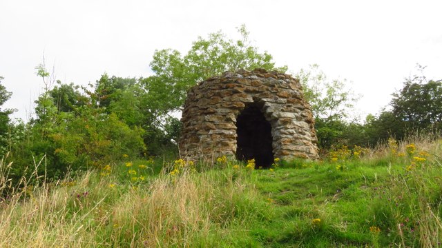
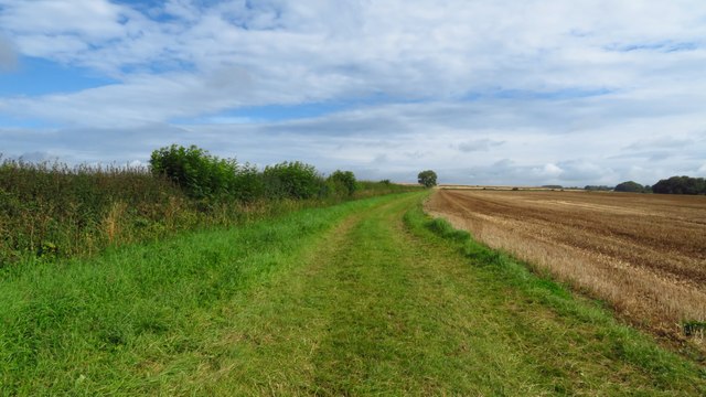
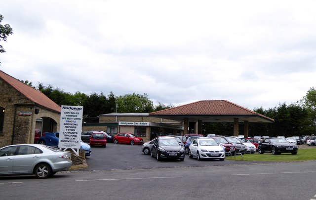
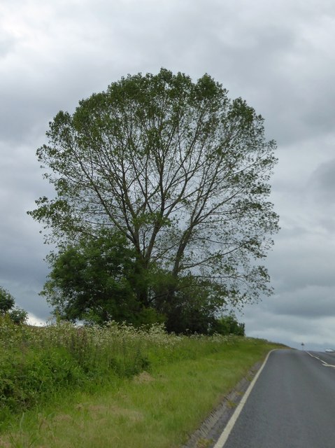
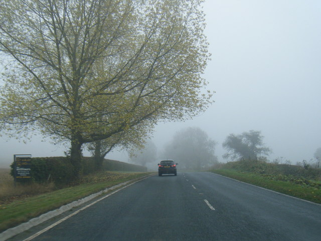
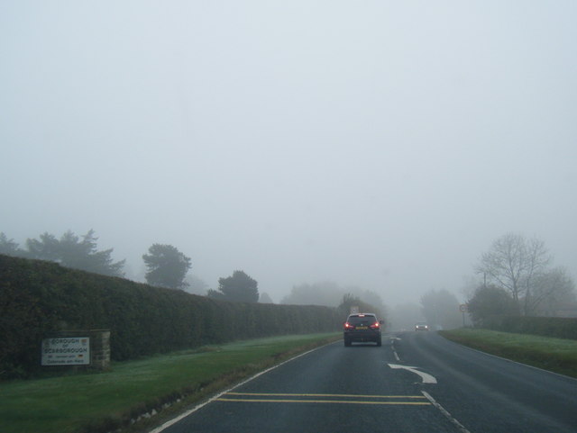
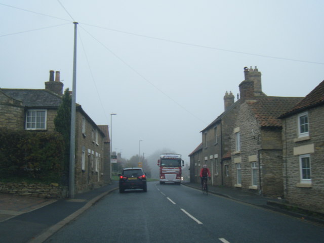
Well Dale Images
Images are sourced within 2km of 54.237153/-0.59911864 or Grid Reference SE9183. Thanks to Geograph Open Source API. All images are credited.
Well Dale is located at Grid Ref: SE9183 (Lat: 54.237153, Lng: -0.59911864)
Division: North Riding
Administrative County: North Yorkshire
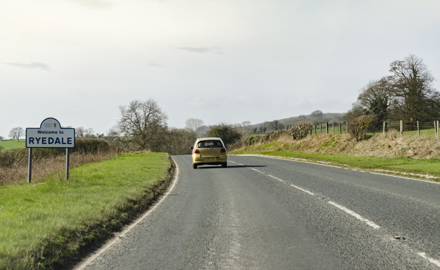
District: Ryedale
Police Authority: North Yorkshire
What 3 Words
///bystander.banter.betrayal. Near Thornton Dale, North Yorkshire
Nearby Locations
Related Wikis

Snainton
Snainton is a village and civil parish in North Yorkshire, England. According to the 2011 UK Census, Snainton parish had a population of 754, a decrease...

Wydale Hall
Wydale Hall is a Christian Conference centre run by the Diocese of York. The house is located near Brompton-by-Sawdon in the foothills of the North York...

Snainton railway station
Snainton railway station was situated on the North Eastern Railway's Pickering to Seamer branch line. It served the village of Snainton, North Yorkshire...

Ebberston
Ebberston is a village and former civil parish, now in the parish of Ebberston and Yedingham in North Yorkshire, England, and is 34 miles (55 km) east...

Ebberston Hall
Ebberston Hall is a Grade II* listed country house in Ebberston, North Yorkshire, England. It was constructed during 18th century for William Thompson...

Marske Hall, Richmondshire
Marske Hall is a Grade II* listed country house in Marske, North Yorkshire, England. == History == Markse Hall was bought in 1596 by the then Archbishop...

Sawdon
Sawdon is a village in the civil parish of Brompton, in North Yorkshire, England, about 8 miles (13 km) west of Scarborough.The village lies 1.75 miles...

Brompton, east North Yorkshire
Brompton is a civil parish in the Scarborough district of North Yorkshire, England, containing the villages of Brompton-by-Sawdon and Sawdon. The village...
Have you been to Well Dale?
Leave your review of Well Dale below (or comments, questions and feedback).