Goodmanham Dale
Valley in Yorkshire
England
Goodmanham Dale

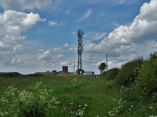
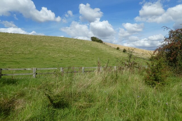
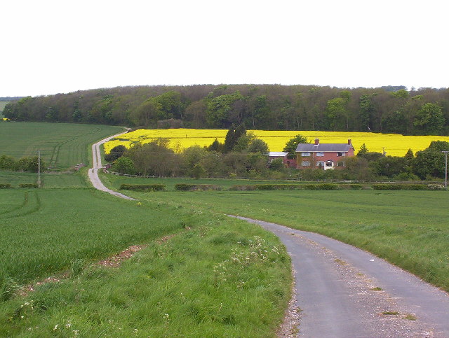
Goodmanham Dale is a picturesque valley located in the East Riding of Yorkshire, England. Nestled between rolling hills and scenic countryside, this charming area offers a peaceful and idyllic setting for both residents and visitors alike.
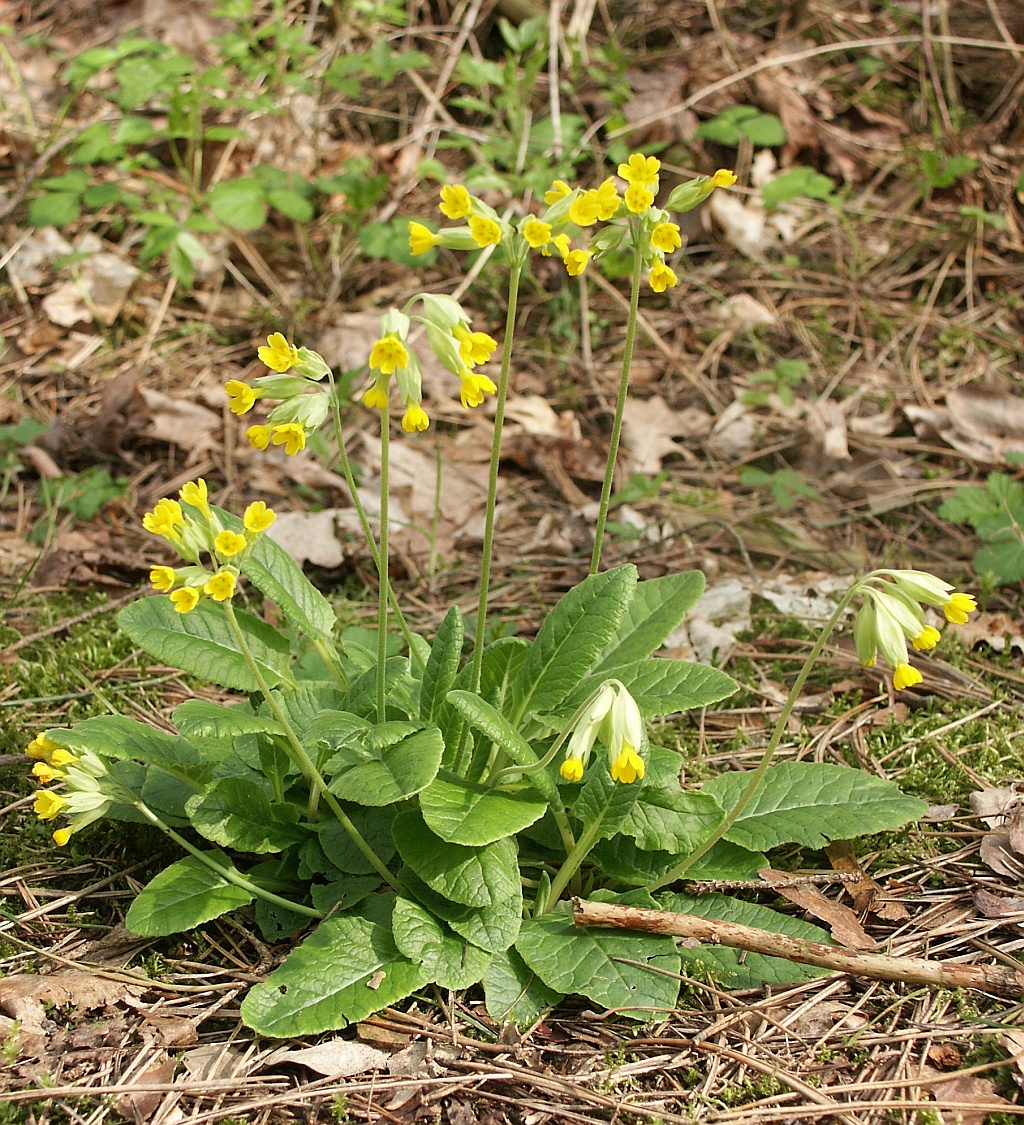
The dale is known for its natural beauty, with lush green fields, meandering streams, and a variety of flora and fauna. It is a haven for nature lovers, providing ample opportunities for hiking, birdwatching, and other outdoor activities. The valley is particularly enchanting in the spring, when vibrant wildflowers carpet the landscape.
In addition to its natural attractions, Goodmanham Dale also boasts a rich historical heritage. The village of Goodmanham, situated at the heart of the valley, dates back to Roman times and was once an important center for the worship of the Norse god Woden. Remnants of this ancient history can still be seen today, with the remains of a pagan temple and a medieval church standing as testaments to the area's past.
The village itself is a charming and welcoming community, with quaint cottages and a friendly atmosphere. There are a few local amenities, including a village pub and a small shop, providing essential services for both residents and visitors.
Goodmanham Dale truly offers a tranquil and timeless escape from the hustle and bustle of modern life. With its natural beauty and historical significance, it is a destination that is sure to captivate anyone seeking a peaceful retreat in the heart of Yorkshire.
If you have any feedback on the listing, please let us know in the comments section below.
Goodmanham Dale Images
Images are sourced within 2km of 53.877878/-0.61228053 or Grid Reference SE9143. Thanks to Geograph Open Source API. All images are credited.


Goodmanham Dale is located at Grid Ref: SE9143 (Lat: 53.877878, Lng: -0.61228053)
Division: East Riding
Unitary Authority: East Riding of Yorkshire
Police Authority: Humberside
What 3 Words
///mermaids.renovated.dices. Near Market Weighton, East Yorkshire
Nearby Locations
Related Wikis

Kiplingcotes railway station
Kiplingcotes railway station was a minor railway station on the York–Beverley line, in the East Riding of Yorkshire, England. It opened on 1 May 1865 and...
Rifle Butts Quarry
Rifle Butts Quarry is a Site of Special Scientific Interest (SSSI) in the East Riding of Yorkshire, England. The particular interest of this reserve is...

Goodmanham
Goodmanham (historically Godmundingaham, the home of the people of Godmund mentioned in the year 627 in Bede's Historia ecclesiastica gentis Anglorum...

Kiplingcotes
Kiplingcotes is a hamlet in the East Riding of Yorkshire, England. It is situated approximately 3.5 miles (6 km) north-east of the market town of Market...
Enthorpe railway station
Enthorpe railway station was a station on the Selby to Driffield Line in the East Riding of Yorkshire, England. It opened on 1 May 1890 and closed on 20...
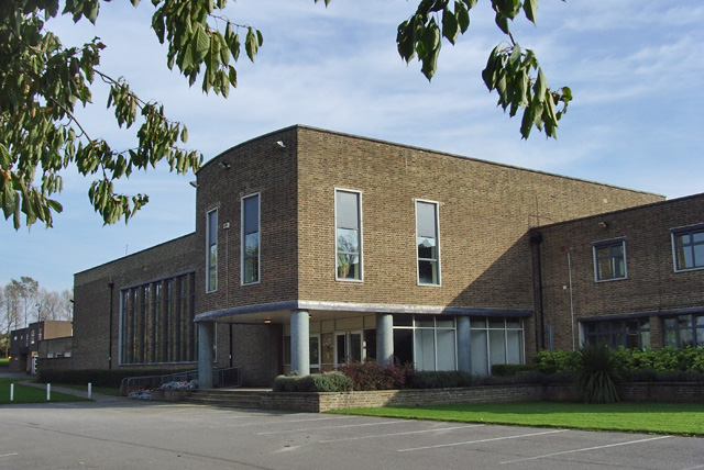
The Market Weighton School
The Market Weighton School is a coeducational secondary school located in Market Weighton in the East Riding of Yorkshire, England.It is a community school...

Middlethorpe, East Riding of Yorkshire
Middlethorpe is a hamlet in the East Riding of Yorkshire, England. It is situated approximately 2.5 miles (4 km) north-east of the market town of Market...

Market Weighton
Market Weighton ( WEE-tən) is a town and civil parish in the East Riding of Yorkshire, England. It is one of the main market towns in the East Yorkshire...
Nearby Amenities
Located within 500m of 53.877878,-0.61228053Have you been to Goodmanham Dale?
Leave your review of Goodmanham Dale below (or comments, questions and feedback).