Bexleyhill Common
Wood, Forest in Sussex Chichester
England
Bexleyhill Common
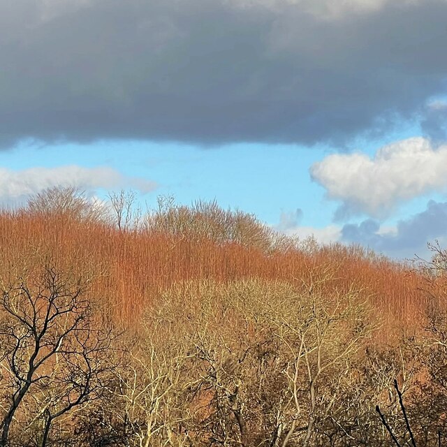
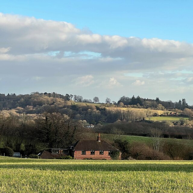
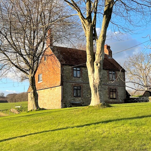
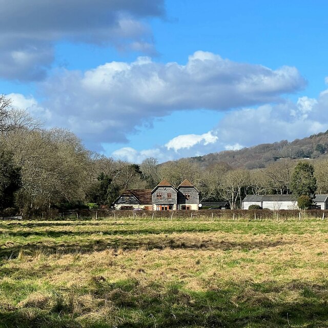
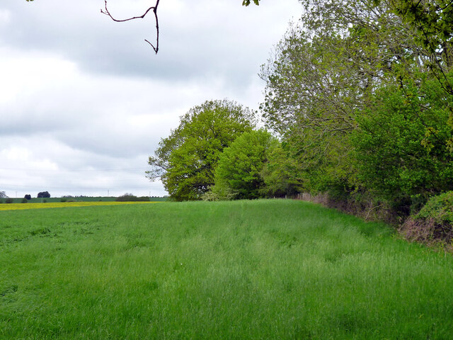
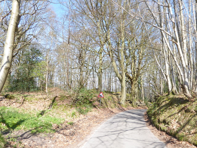
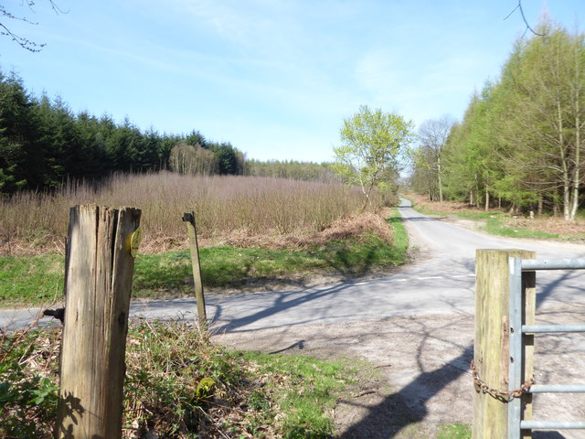
Bexleyhill Common, located in Sussex, England, is a picturesque wood and forest area that covers approximately 100 hectares of land. The common is situated near the village of Bexleyhill, which is known for its charming rural setting and is popular among nature enthusiasts and hikers.
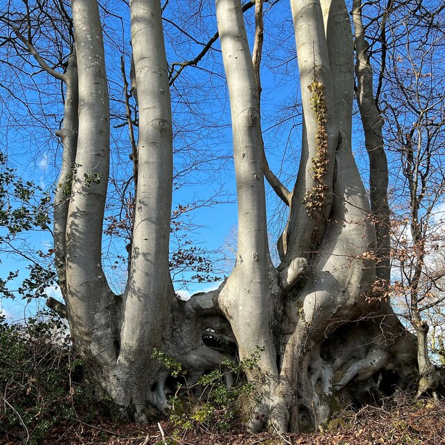
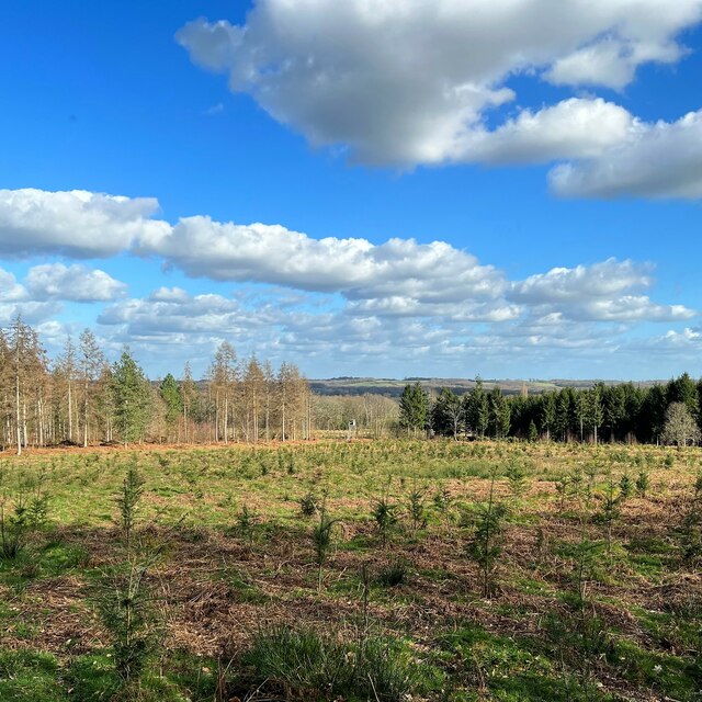
The woodland in Bexleyhill Common is predominantly composed of native tree species such as oak, beech, and birch, creating a diverse and vibrant ecosystem. The forest floor is covered in a lush carpet of mosses, ferns, and wildflowers, adding to its natural beauty and appeal. The woodland provides an important habitat for a variety of wildlife, including deer, foxes, badgers, and numerous species of birds.
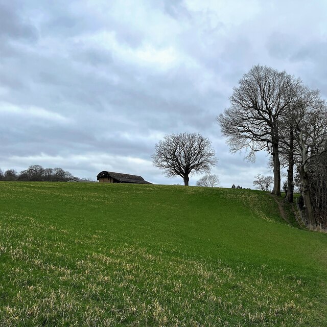
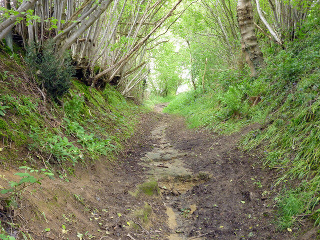
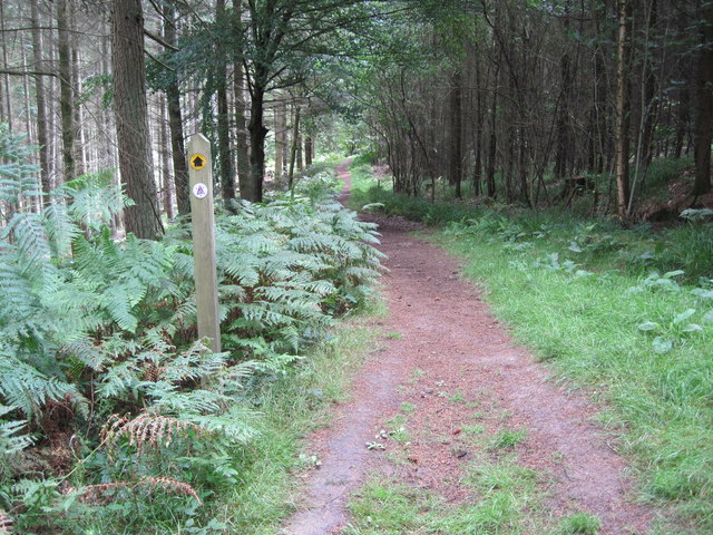
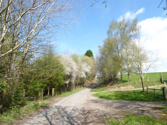
A network of well-maintained footpaths and trails runs through the common, allowing visitors to explore the area and enjoy the tranquility of the surroundings. The paths wind their way through the trees, providing opportunities for leisurely walks or more strenuous hikes for those seeking a challenge. Along the trails, visitors may come across small streams or ponds, adding to the charm of the woodland setting.
Bexleyhill Common is managed by a local conservation group that ensures the preservation of the natural habitats and the promotion of biodiversity. The group conducts regular maintenance work to keep the paths clear and to remove any invasive plant species that may threaten the native flora and fauna.
Overall, Bexleyhill Common offers a serene and idyllic retreat for nature lovers, providing a haven for both wildlife and visitors to enjoy the beauty of the Sussex countryside.
If you have any feedback on the listing, please let us know in the comments section below.
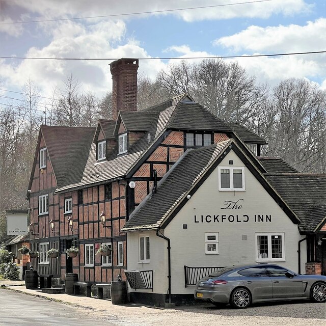
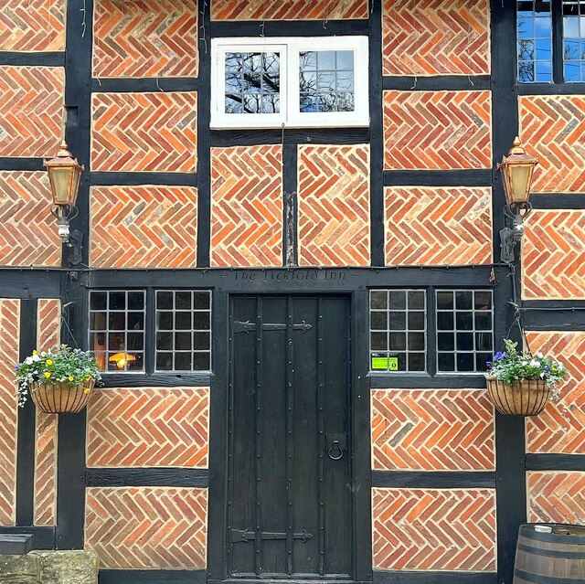
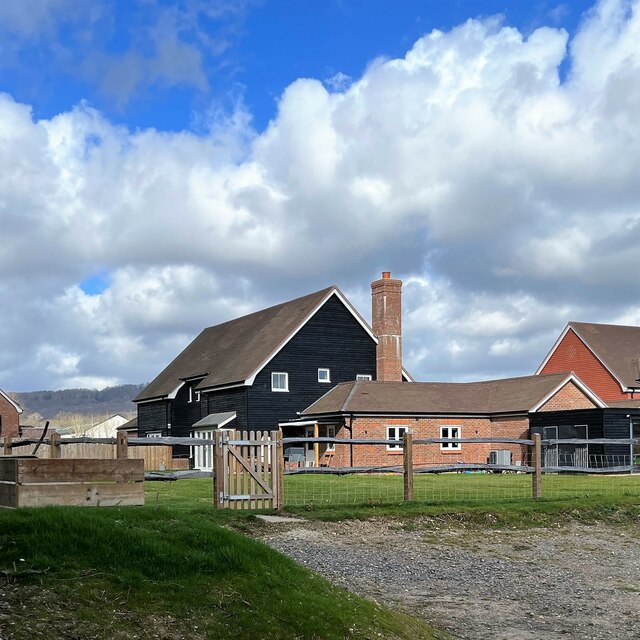
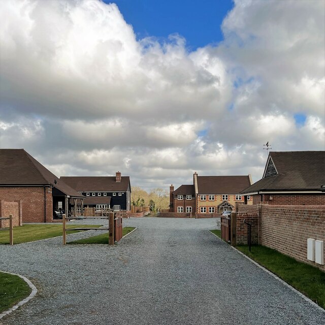
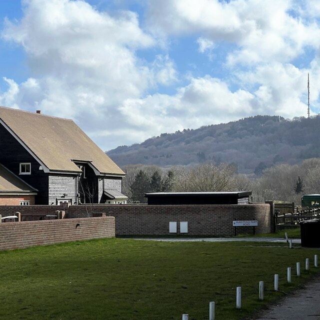
Bexleyhill Common Images
Images are sourced within 2km of 51.017648/-0.69702531 or Grid Reference SU9125. Thanks to Geograph Open Source API. All images are credited.
Bexleyhill Common is located at Grid Ref: SU9125 (Lat: 51.017648, Lng: -0.69702531)
Administrative County: West Sussex
District: Chichester
Police Authority: Sussex
What 3 Words
///tentacles.register.buckling. Near Fernhurst, West Sussex
Nearby Locations
Related Wikis

Midhurst transmitting station
The Midhurst transmitting station is a facility for both analogue and digital VHF/FM radio and UHF television transmission, 3.1 miles (5.0 km) northeast...

Northpark Copse to Snapelands Copse
Northpark Copse to Snapelands Copse is a 101.4-hectare (251-acre) biological Site of Special Scientific Interest north of Midhurst in West Sussex.This...

Lodsworth
Lodsworth is a small village, ecclesiastical parish and civil parish in the Chichester district of West Sussex, England. It is situated between Midhurst...

Queen Elizabeth Oak
The Queen Elizabeth Oak is a large sessile oak tree in Cowdray Park near the village of Lodsworth in the Western Weald, West Sussex, England. It lies...

Cooksbridge Meadow
Cooksbridge Meadow is a 9-hectare (22-acre) nature reserve south of Fernhurst in Sussex. It is managed by the Sussex Wildlife Trust.Most of this site...

Lurgashall
Lurgashall is a village and civil parish in the Chichester district of West Sussex, England, 6.5 km (4 ml) north west of Petworth, just inside the South...
North Ambersham
North Ambersham was a tithing in the Chichester district of West Sussex, England. Until 1844 North Ambersham was a detached part of Hampshire and was...
Midhurst Intermediate School
Midhurst Intermediate School (1970-2008) was a maintained comprehensive middle-deemed-secondary school for pupils aged 10 to 13. It was one of only 11...
Nearby Amenities
Located within 500m of 51.017648,-0.69702531Have you been to Bexleyhill Common?
Leave your review of Bexleyhill Common below (or comments, questions and feedback).