Round Hill
Hill, Mountain in Yorkshire
England
Round Hill

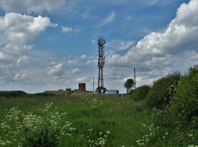
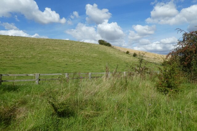
Round Hill is a prominent hill located in the county of Yorkshire, England. It forms part of the Pennine range and stands at an impressive elevation of 1,149 feet (350 meters) above sea level, making it one of the highest peaks in the region. Situated in the heart of the Yorkshire Dales National Park, Round Hill offers breathtaking panoramic views of the surrounding countryside, including lush valleys, rolling hills, and picturesque villages.
The hill is characterized by its distinctive rounded shape, which gives it its name. It is primarily composed of Millstone Grit, a type of sedimentary rock that is renowned for its durability and is often used in construction. Round Hill is a popular destination for hikers and nature enthusiasts, with numerous footpaths and trails leading to its summit. The ascent can be challenging, but the reward of reaching the top and taking in the stunning vistas is well worth the effort.
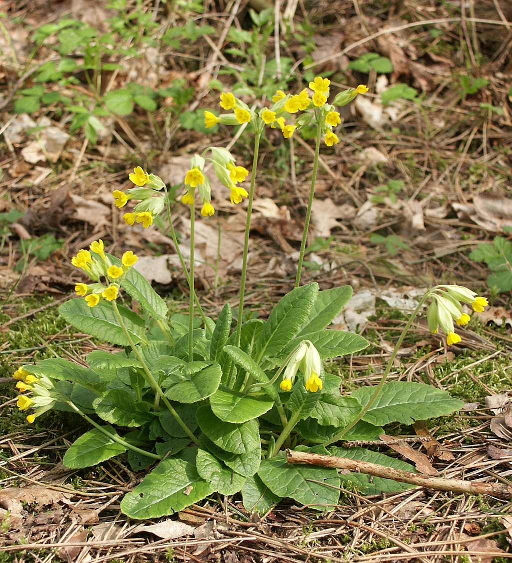
Wildlife is abundant in the area, and visitors may spot various species of birds, including peregrine falcons and red grouse, as well as mammals such as hares and deer. The hill is also home to a diverse range of plant life, with heather, bracken, and bilberry bushes covering its slopes.
Round Hill is not only a natural attraction but also holds historical significance. It is believed to have been used as a beacon site in ancient times, serving as a signal point for communication. Today, it continues to captivate visitors with its natural beauty, offering an opportunity to connect with nature and experience the tranquility of the Yorkshire countryside.
If you have any feedback on the listing, please let us know in the comments section below.
Round Hill Images
Images are sourced within 2km of 53.874577/-0.61526465 or Grid Reference SE9142. Thanks to Geograph Open Source API. All images are credited.


Round Hill is located at Grid Ref: SE9142 (Lat: 53.874577, Lng: -0.61526465)
Division: East Riding
Unitary Authority: East Riding of Yorkshire
Police Authority: Humberside
What 3 Words
///senders.alleyway.growth. Near Market Weighton, East Yorkshire
Nearby Locations
Related Wikis
Rifle Butts Quarry
Rifle Butts Quarry is a Site of Special Scientific Interest (SSSI) in the East Riding of Yorkshire, England. The particular interest of this reserve is...

Kiplingcotes railway station
Kiplingcotes railway station was a minor railway station on the York–Beverley line, in the East Riding of Yorkshire, England. It opened on 1 May 1865 and...

Goodmanham
Goodmanham (historically Godmundingaham, the home of the people of Godmund mentioned in the year 627 in Bede's Historia ecclesiastica gentis Anglorum...
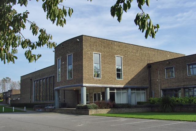
The Market Weighton School
The Market Weighton School is a coeducational secondary school located in Market Weighton in the East Riding of Yorkshire, England.It is a community school...
Nearby Amenities
Located within 500m of 53.874577,-0.61526465Have you been to Round Hill?
Leave your review of Round Hill below (or comments, questions and feedback).