Sheffield's Hill
Hill, Mountain in Lincolnshire
England
Sheffield's Hill

Sheffield's Hill is a prominent geographical feature located in the county of Lincolnshire, England. Situated near the village of South Elkington, this hill is part of the Lincolnshire Wolds Area of Outstanding Natural Beauty. Despite its name, Sheffield's Hill is not a true mountain but rather a modest hill, reaching an elevation of approximately 149 meters (489 feet) above sea level.
The hill is characterized by its gently sloping sides and lush greenery, offering breathtaking panoramic views of the surrounding countryside. Sheffield's Hill is primarily composed of chalk and limestone, which gives the area a distinctive landscape and supports a diverse range of flora and fauna.
The hill is a popular destination for outdoor enthusiasts, attracting hikers and nature lovers alike. Numerous footpaths and trails traverse the area, providing opportunities to explore the hill's natural beauty. Visitors can enjoy peaceful walks, taking in the picturesque scenery and spotting various wildlife species that call the hill home.
In addition to its natural attractions, Sheffield's Hill is also steeped in history. The nearby village of South Elkington boasts a rich heritage, with archaeological evidence suggesting human habitation in the area since prehistoric times. The hill itself has remnants of an Iron Age hill fort, providing insight into the ancient past of the region.
Overall, Sheffield's Hill in Lincolnshire offers a captivating blend of natural beauty and historical significance, making it an appealing destination for those seeking outdoor adventures and a glimpse into the area's past.
If you have any feedback on the listing, please let us know in the comments section below.
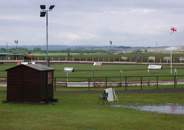
Sheffield's Hill Images
Images are sourced within 2km of 53.623885/-0.62278812 or Grid Reference SE9115. Thanks to Geograph Open Source API. All images are credited.


Sheffield's Hill is located at Grid Ref: SE9115 (Lat: 53.623885, Lng: -0.62278812)
Unitary Authority: North Lincolnshire
Police Authority: Humberside
What 3 Words
///half.charmingly.brick. Near Appleby, Lincolnshire
Nearby Locations
Related Wikis

Normanby Park railway station
Normanby Park railway station was a goods station, built by the North Lindsey Light Railway, in Normanby, Lincolnshire, England. Situated some 1 7/8 miles...

Roxby cum Risby
Roxby cum Risby is a civil parish forming part of the district of North Lincolnshire, England. The population of the civil parish at the 2011 census was...

Roxby, Lincolnshire
Roxby is a village in North Lincolnshire, England. It is situated approximately 4 miles (6 km) north from Scunthorpe and 1 mile (1.6 km) south-east from...
Eddie Wright Raceway
The Eddie Wright Raceway is a British race track in Scunthorpe, North Lincolnshire. It is primarily used for motorcycle speedway, but also occasionally...
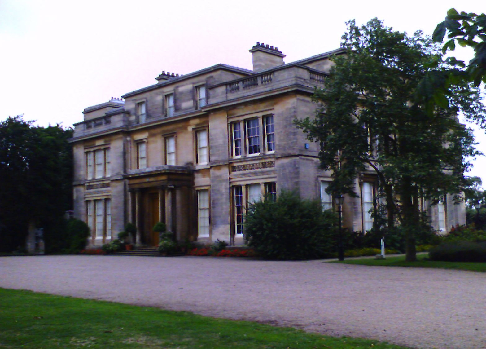
Normanby Hall
Normanby Hall is a classic English mansion, located near the village of Burton-upon-Stather, 5 miles (8 km) north of Scunthorpe, North Lincolnshire....
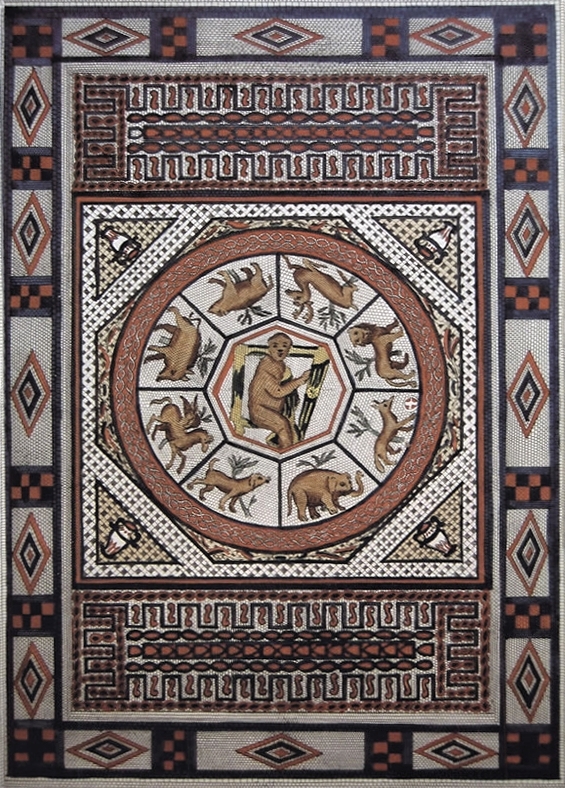
Winterton Roman villa
Winterton Roman villa is a Roman villa in Winterton, North Lincolnshire. It was discovered in 1747. == Villa == The villa was built in the 2nd century...

North Lincolnshire
North Lincolnshire is a unitary authority area with borough status in Lincolnshire, England. At the 2011 Census, it had a population of 167,446. The administrative...
Winterton and Thealby railway station
Winterton and Thealby railway station was a station built by the North Lindsey Light Railway in Winterton, Lincolnshire, on their line from Scunthorpe...
Nearby Amenities
Located within 500m of 53.623885,-0.62278812Have you been to Sheffield's Hill?
Leave your review of Sheffield's Hill below (or comments, questions and feedback).