Bexon

Settlement in Kent Swale

England

Bexon

Entrance to Old Rectory Stables, Milstead The drive leads off Horn Hill.
Entrance to Old Rectory Stables, Milstead Credit: pam fray

Bexon is a small village located in the county of Kent, England. Situated approximately 6 miles southeast of the historic city of Canterbury, it is part of the civil parish of Bridge and Patrixbourne. Bexon is surrounded by picturesque countryside, offering residents and visitors a peaceful and idyllic setting.

The village is primarily residential, with a population of around 500 residents. The architecture in Bexon is a mix of traditional and modern styles, showcasing the area's rich history alongside contemporary developments. The houses are mostly detached or semi-detached, with well-maintained gardens and a strong sense of community.

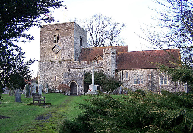
Despite its small size, Bexon benefits from a range of local amenities. These include a primary school, a village hall, and a nearby church. The village hall serves as a hub for community activities, hosting various events and gatherings throughout the year.

Bexon is well-connected to surrounding towns and cities. The A2 road runs nearby, providing easy access to Canterbury, Dover, and London. Additionally, the village is served by a regular bus service, making it convenient for both residents and commuters.

For those seeking outdoor activities, Bexon offers ample opportunities. The surrounding countryside is perfect for walks, cycling, and exploring the nearby areas of natural beauty. Furthermore, Bexon is within close proximity to several nature reserves and parks, providing additional recreational options.

In summary, Bexon is a charming village in Kent, offering a peaceful and friendly community atmosphere. Its convenient location, combined with its natural beauty and local amenities, make it an attractive place to live or visit.

If you have any feedback on the listing, please let us know in the comments section below.
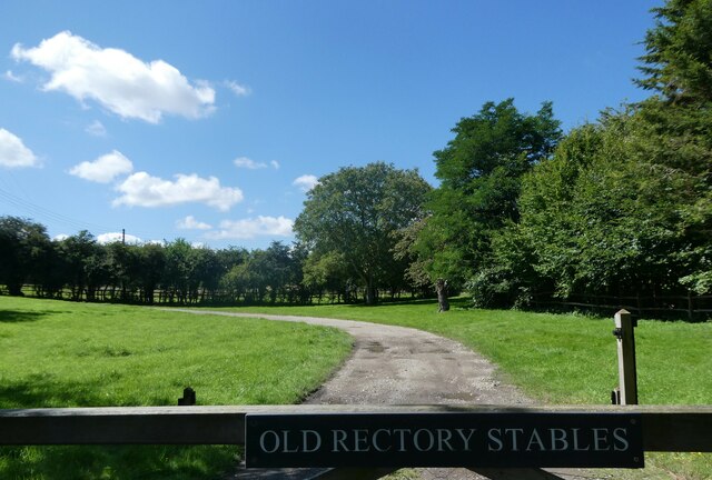
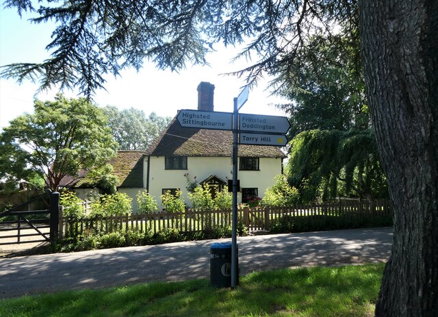
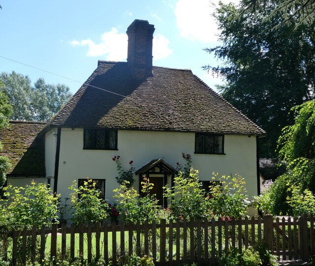
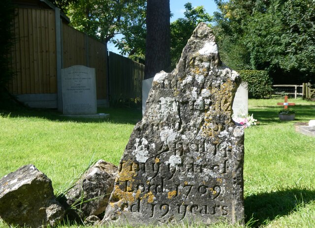
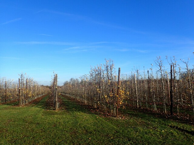
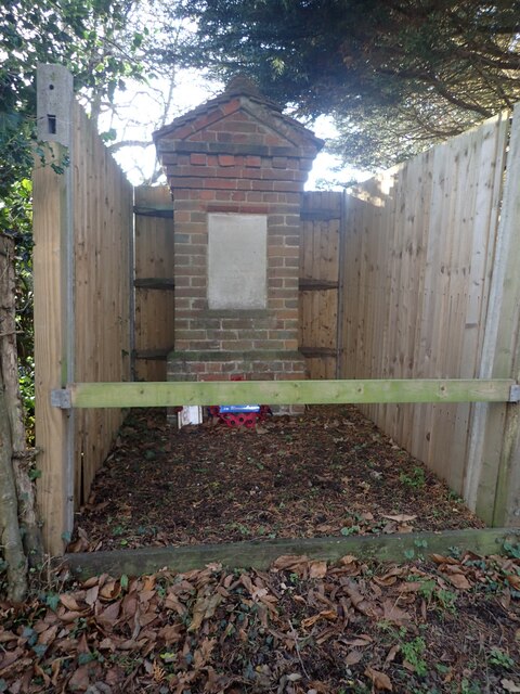
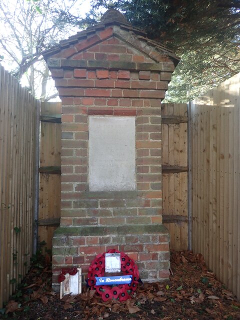
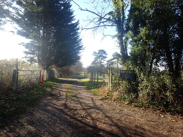
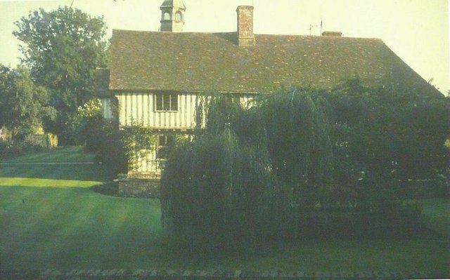
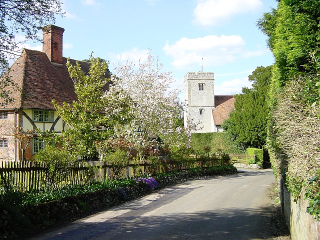
Bexon Images

Images are sourced within 2km of 51.30406/0.710744 or Grid Reference TQ8959. Thanks to Geograph Open Source API. All images are credited.

Entrance to Old Rectory Stables, Milstead The drive leads off Horn Hill.
Entrance to Old Rectory Stables, Milstead
The drive leads off Horn Hill.
Signpost and cottage, Milstead Northwards, Rawling Street leads to Sittingbourne, southwards Frinsted Road leads to Frinsted and Doddington. Rose Cottage is a Grade II listed building.
Signpost and cottage, Milstead
Northwards, Rawling Street leads to Sittingbourne, southwards Frinsted Road leads to Frinsted and Doddington. Rose Cottage is a Grade II listed building.
Rose Cottage, Milstead On Rawling Street, a Grade II listed building.
Rose Cottage, Milstead
On Rawling Street, a Grade II listed building.
Village sign, Milstead A wooden sign on the wall of the Village Hall. The plaque beneath states that it was carved by Mr. Norman Smithers and unveiled by Cllr. Jean Newman in 1993.
Village sign, Milstead
A wooden sign on the wall of the Village Hall. The plaque beneath states that it was carved by Mr. Norman Smithers and unveiled by Cllr. Jean Newman in 1993.
Ceramic tiles round the base of the Village Hall, Milstead One set of 26, one for each letter of the alphabet, created by local people. This is one of 8 contributed by Nigel Hobbins.
Ceramic tiles round the base of the Village Hall, Milstead
One set of 26, one for each letter of the alphabet, created by local people. This is one of 8 contributed by Nigel Hobbins.
Milstead Cricket Club ground and pavilion The entrance is in Rawling Street, opposite the Village Hall.
Milstead Cricket Club ground and pavilion
The entrance is in Rawling Street, opposite the Village Hall.
19th century gravestone in Milstead churchyard On the western side of the Church of St. Mary and the Holy Cross.
19th century gravestone in Milstead churchyard
On the western side of the Church of St. Mary and the Holy Cross.
Lych gate, the church of St. Mary and the Holy Cross, Milstead
Gravestone, the church of St. Mary and the Holy Cross, Milstead The remains of an 18th  century gravestone.
Gravestone, the church of St. Mary and the Holy Cross, Milstead
The remains of an 18th century gravestone.
Apple orchard in December This is seen from Manor Road. As can be seen, there are still a great many windfalls.
Apple orchard in December
This is seen from Manor Road. As can be seen, there are still a great many windfalls.
An unusual war memorial The wording on the memorial states "In this field the 3rd Battalion Gloucestershire Regiment Lt Col G. H. Burges Commanding was encamped during the summers of 1916 - 1917". The memorial is next to Horn Hill and close to the entrance to the Girl Guiding Hall at Hornhill. See also <a title="www.geograph.org.uk/photo/7672535" href="https://www.geograph.org.uk/photo/7672535">Link</a>
An unusual war memorial
The wording on the memorial states "In this field the 3rd Battalion Gloucestershire Regiment Lt Col G. H. Burges Commanding was encamped during the summers of 1916 - 1917". The memorial is next to Horn Hill and close to the entrance to the Girl Guiding Hall at Hornhill. See also Link
War memorial alongside Horn Hill The wording on the memorial states "In this field the 3rd Battalion Gloucestershire Regiment Lt Col G. H. Burges Commanding was encamped during the summers of 1916 - 1917". The memorial is next to Horn Hill and close to the entrance to the Girl Guiding Hall at Hornhill. See also <a title="www.geograph.org.uk/photo/7672531" href="https://www.geograph.org.uk/photo/7672531">Link</a>
War memorial alongside Horn Hill
The wording on the memorial states "In this field the 3rd Battalion Gloucestershire Regiment Lt Col G. H. Burges Commanding was encamped during the summers of 1916 - 1917". The memorial is next to Horn Hill and close to the entrance to the Girl Guiding Hall at Hornhill. See also Link
Entrance to the Girl Guiding Hall at Hornhill This is seen from Horn Hill and is close to the war memorial seen at <a title="www.geograph.org.uk/photo/7672531" href="https://www.geograph.org.uk/photo/7672531">Link</a>
Entrance to the Girl Guiding Hall at Hornhill
This is seen from Horn Hill and is close to the war memorial seen at Link
St Mary & The Holy Cross church, Milstead in 1969 As seen from Rawling Street
St Mary & The Holy Cross church, Milstead in 1969
As seen from Rawling Street
Milstead Manor in 1969 As seen from Frinsted Road over the garden wall, before bushes were planted to hide the view
Milstead Manor in 1969
As seen from Frinsted Road over the garden wall, before bushes were planted to hide the view
St. Mary  and the Holy Cross church, Milstead Looking along the nave to the chancel. Originally Norman, the church was restored twice in the 19th century. The second restoration was by William Butterfield in 1872 and it has changed little since.
St. Mary and the Holy Cross church, Milstead
Looking along the nave to the chancel. Originally Norman, the church was restored twice in the 19th century. The second restoration was by William Butterfield in 1872 and it has changed little since.
East window of the church of St. Mary and Holy Cross, Milstead
West window of St. Mary and Holy Cross church, Milstead
Show me another place!

Bexon is located at Grid Ref: TQ8959 (Lat: 51.30406, Lng: 0.710744)

Administrative County: Kent

District: Swale

Police Authority: Kent

What 3 Words

///suffer.laws.angel. Near Sittingbourne, Kent

Related Wikis

Bexon

Bexon is a village in Kent, England, situated North of the parishes of Frinsted and Bicknor, just south of the M2 motorway. Bexon is also the name of...

Bredgar

Bredgar is a village and civil parish in the Borough of Swale, Kent, England. == Location == The village lies to the southwest of Sittingbourne on the...

Bredgar Hoard

The Bredgar Hoard is a Roman coin hoard found in Bredgar, Kent in 1957. It consisted of 34 gold aurei, the latest of which were from 41 to 42 AD. The coins...
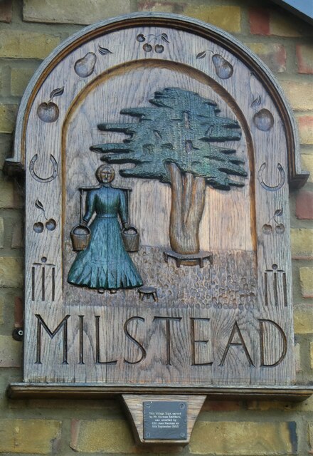
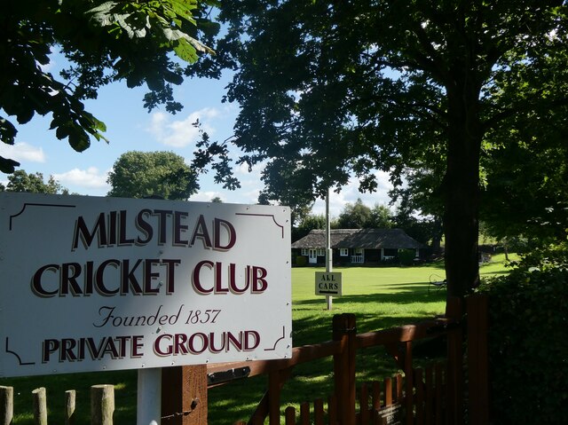
Milstead

Milstead is a village and civil parish in the borough of Swale in Kent, England. It is surrounded by the villages of Frinsted, Wichling, Doddington and...

Borden, Kent

Borden is a village and electoral ward situated immediately south west of Sittingbourne, Kent, from which it is separated by a small area of rural land...

Cromers Wood

Cromers Wood is a 28-hectare (69-acre) nature reserve between Milstead and Sittingbourne in Kent. It is managed by Kent Wildlife Trust.This ancient semi...

Sittingbourne Community F.C.

Sittingbourne Community F.C. is an English football club located in Sittingbourne, in Kent. The club plays in the Kent County Football League Division...

Woodstock Sports F.C.

Woodstock Sports Football Club was an English football team based in Sittingbourne, Kent, last played in the Southern Counties East League. During the...

Nearby Amenities

Located within 500m of 51.30406,0.710744
Manor House
Building: yes
Source: npe
Lat/Long: 51.3028655/0.7100328
Bexon
Place: hamlet
Source: Local Knowledge/OS Opendata Streetview
Wikidata: Q4899813
Lat/Long: 51.3042254/0.7108371
Curve Geometry: yes
Lat/Long: 51.305588/0.7137052
Post Box
Postal Code: ME9
Ref: ME9 72
Source: survey
Lat/Long: 51.3051546/0.713274
Curve Geometry: yes
Lat/Long: 51.3046019/0.7157357
Bexon Manor Farm
Landuse: farm
Note Retag: CS #48756035
Lat/Long: 51.3036208/0.7129113
Curve Geometry: yes
Lat/Long: 51.3045584/0.7166311
Curve Geometry: yes
Lat/Long: 51.3050104/0.7141684
Communication Microwave: yes
Communication Mobile Phone: yes
Man Made: mast
Tower Type: communication
Lat/Long: 51.3082725/0.7127346
The data included in this document is from www.openstreetmap.org. The data is made available under ODbL.

Have you been to Bexon?

Leave your review of Bexon below (or comments, questions and feedback).