Bexwell
Settlement in Norfolk King's Lynn and West Norfolk
England
Bexwell

Bexwell is a small village located in the county of Norfolk, England. Situated approximately 4 miles north of the historic market town of Downham Market, Bexwell is nestled in a rural setting, surrounded by picturesque countryside. The village is part of the King's Lynn and West Norfolk district.
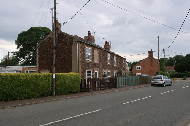
Bexwell is a quintessential English village, with a population of around 300 residents. The village is known for its charming thatched cottages and traditional architecture, giving it a quaint and idyllic atmosphere. The area is primarily residential, with a close-knit community that takes pride in its local heritage.
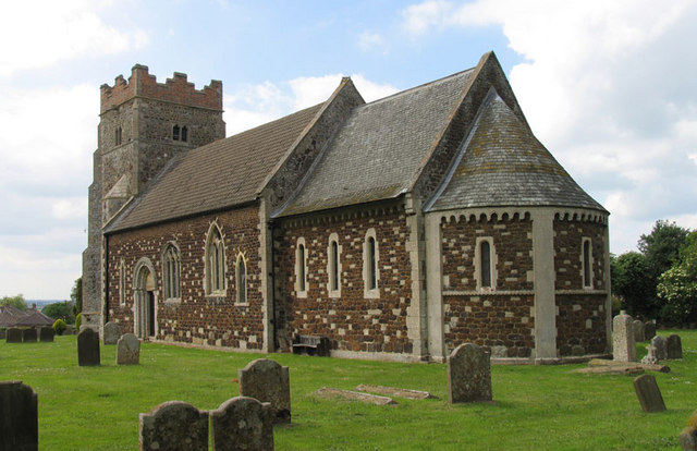
Despite its small size, Bexwell offers a range of amenities to its residents. The village has a primary school, providing education to local children, and a village hall which serves as a community hub for various events and gatherings. Bexwell also has a church, St. Mary's, which dates back to the 14th century and adds to the village's historic charm.
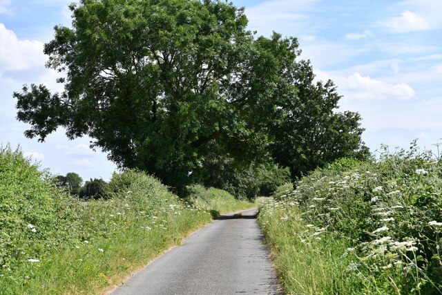
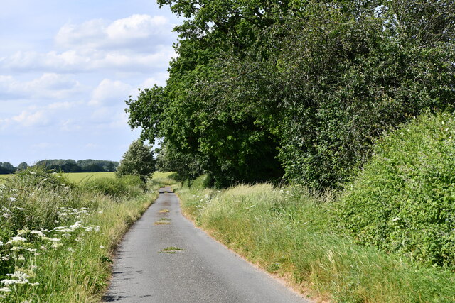
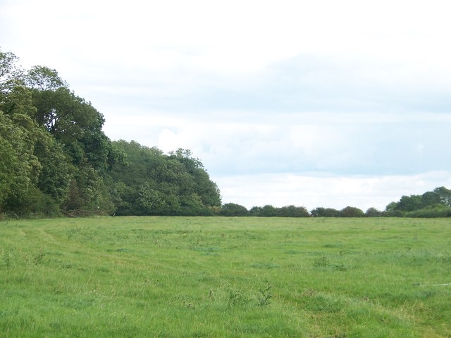
Surrounding Bexwell, the Norfolk countryside offers ample opportunities for outdoor activities. The village benefits from its proximity to the River Great Ouse, which provides scenic walks and fishing spots. Additionally, the nearby Ryston Park Golf Club is popular among golf enthusiasts.
Overall, Bexwell is a delightful village that encapsulates the charm and tranquility of the Norfolk countryside. With its historic buildings, close-knit community, and scenic surroundings, it is an appealing place to live for those seeking a peaceful rural lifestyle.
If you have any feedback on the listing, please let us know in the comments section below.
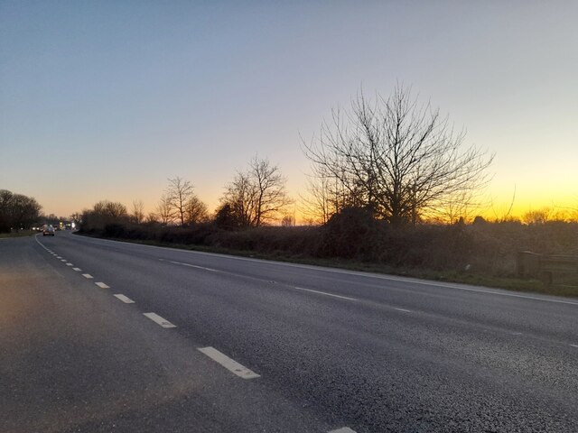
Bexwell Images
Images are sourced within 2km of 52.604679/0.411536 or Grid Reference TF6303. Thanks to Geograph Open Source API. All images are credited.


Bexwell is located at Grid Ref: TF6303 (Lat: 52.604679, Lng: 0.411536)
Administrative County: Norfolk
District: King's Lynn and West Norfolk
Police Authority: Norfolk
What 3 Words
///suckle.highbrow.battle. Near Downham Market, Norfolk
Related Wikis

RAF Downham Market
Royal Air Force Downham Market, or more simply RAF Downham Market, was a Royal Air Force station in the west of the county of Norfolk, England which operated...

Bexwell
Bexwell is a small village and former civil parish near Downham Market, now in the parish of Ryston, in the King's Lynn and West Norfolk district, in the...
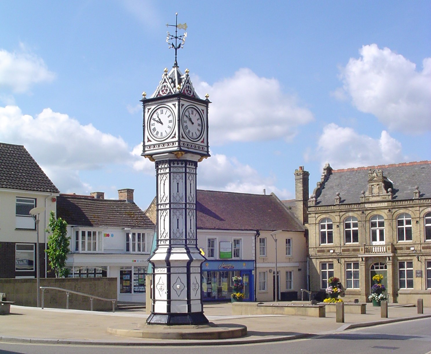
Downham Market
Downham Market, sometimes simply referred to as Downham, is a market town and civil parish in Norfolk, England. It lies on the edge of the Fens, on the...
Downham Market Academy
Downham Market Academy (formerly Downham Market High School) is a coeducational secondary school and sixth form with academy status, situated in Downham...

Crimplesham
Crimplesham is a village and civil parish in the English county of Norfolk. It is situated 2.5 miles (4.0 km) east of the small town of Downham Market...
Wimbotsham
Wimbotsham is a village and civil parish in the English county of Norfolk. It is situated close to the River Great Ouse, 2 km (1.2 mi) north of the town...
Downham Town F.C.
Downham Town Football Club is a football club based in Downham Market, Norfolk, England. Affiliated to the Norfolk County Football Association, they are...
St Dominic, Downham Market
Saint Dominic's Church in Downham Market is the parish church serving the Roman Catholic population of Downham Market and the surrounding areas of Norfolk...
Nearby Amenities
Located within 500m of 52.604679,0.411536Have you been to Bexwell?
Leave your review of Bexwell below (or comments, questions and feedback).