Beyton
Settlement in Suffolk Mid Suffolk
England
Beyton

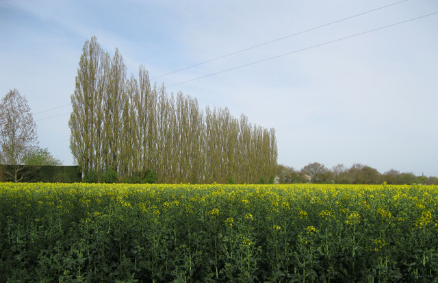
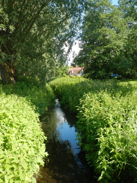
Beyton is a small village located in the county of Suffolk, England. Situated approximately 10 miles east of the town of Bury St Edmunds, Beyton is nestled amidst picturesque countryside, offering a serene and tranquil setting.
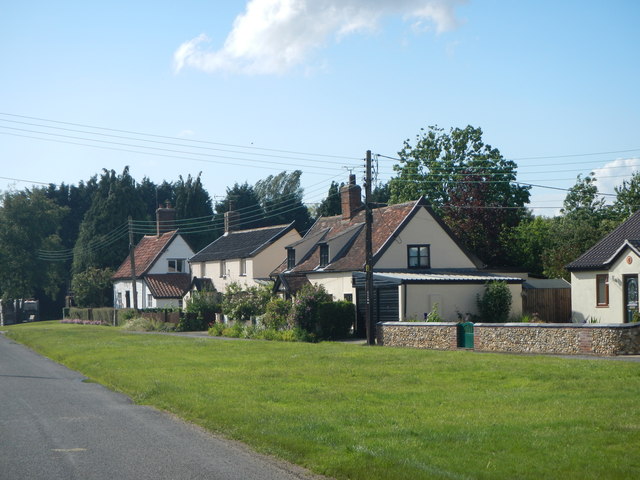
The village has a rich history, dating back to at least the 10th century when it was mentioned in the Domesday Book. Today, Beyton retains much of its traditional charm, with a mix of historical and modern properties lining its streets. The centerpiece of the village is the 14th-century Church of St. Mary, a stunning example of medieval architecture.
Despite its small size, Beyton offers a range of amenities for its residents. The village features a well-regarded primary school, a community center, and a post office. There are also several local businesses, including a farm shop and a pub, providing essential services and a sense of community.
One of Beyton's notable attractions is its proximity to the beautiful Thetford Forest, which lies to the west. This expansive woodland offers numerous walking and cycling trails, making it a popular destination for outdoor enthusiasts. Additionally, the village is conveniently located near major road networks, allowing for easy access to nearby towns and cities.
Overall, Beyton is a charming and idyllic village that offers a peaceful lifestyle in a picturesque setting. Its rich history, range of amenities, and proximity to natural beauty make it an attractive place to live or visit in Suffolk.
If you have any feedback on the listing, please let us know in the comments section below.
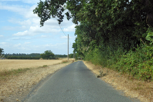
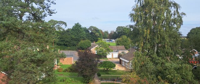
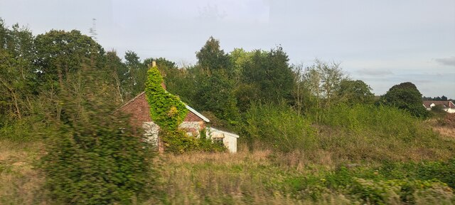
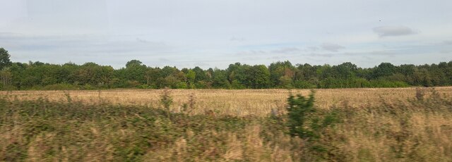
Beyton Images
Images are sourced within 2km of 52.233946/0.831164 or Grid Reference TL9363. Thanks to Geograph Open Source API. All images are credited.


Beyton is located at Grid Ref: TL9363 (Lat: 52.233946, Lng: 0.831164)
Administrative County: Suffolk
District: Mid Suffolk
Police Authority: Suffolk
What 3 Words
///trainer.reference.defeated. Near Thurston, Suffolk
Nearby Locations
Related Wikis

Beyton
Beyton is a village and civil parish in the Mid Suffolk district of the English county of Suffolk. The village is around 8 miles (13 km) east of Bury St...

Thurston, Suffolk
Thurston is a village and a parish in Suffolk situated about 4 miles (6 km) east of Bury St Edmunds and 10 miles (16 km) west of Stowmarket. In mid-2005...

Hessett
Hessett is a village and civil parish in the Mid Suffolk district of Suffolk in eastern England. Hessett is located around four miles south east of Bury...

Black Bourn Valley
Black Bourn Valley, formerly called Grove Farm, is an 88 hectare nature reserve between Thurston and Elmswell in Suffolk. It is managed by the Suffolk...
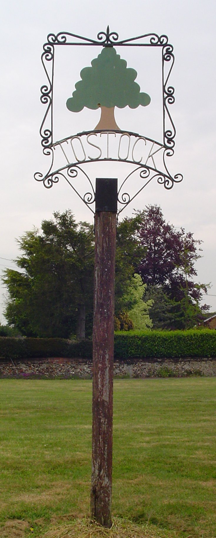
Tostock
Tostock is a small village around eight miles east of Bury St. Edmunds in the county of Suffolk. It is a very traditional Suffolk village, with a good...

Tostock Park
During the Second World War Tostock Park was a sub-station of the United States Army Air Force, located in Tostock, near Bury St Edmunds, Suffolk. It was...

Rougham, Suffolk
Rougham is a village and former civil parish 19 miles (31 km) north west of Ipswich, now in the parish of Rushbrooke with Rougham, in the West Suffolk...
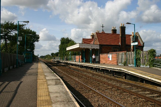
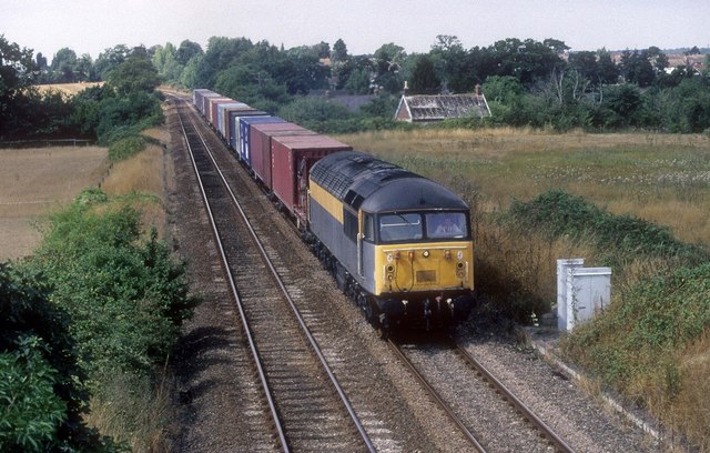
Thurston railway station
Thurston railway station serves the village of Thurston in Suffolk, England. The station, and all trains serving it, are operated by Greater Anglia. It...
Nearby Amenities
Located within 500m of 52.233946,0.831164Have you been to Beyton?
Leave your review of Beyton below (or comments, questions and feedback).