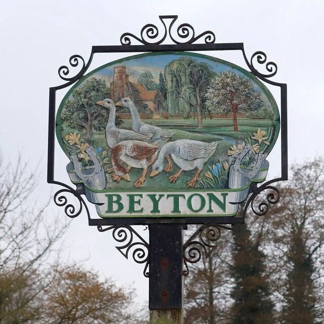
Beyton

Civil Parish in Suffolk Mid Suffolk

England

Beyton

Nether Street towards High Rougham
Nether Street towards High Rougham Credit: Robin Webster

Beyton is a civil parish located in the county of Suffolk, in the East of England. It is situated about 12 miles east of the city of Bury St Edmunds and approximately 80 miles northeast of London. The parish covers an area of around 7 square miles and has a population of approximately 1,500 residents.

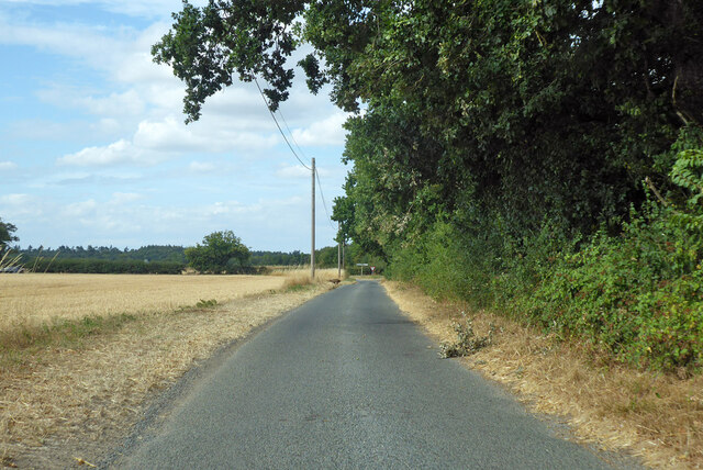
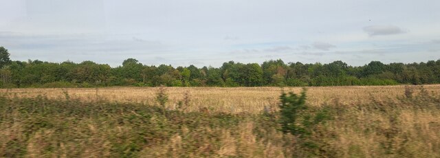
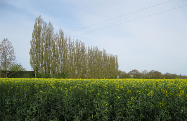
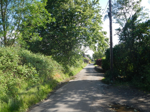
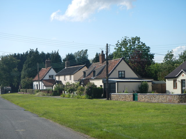
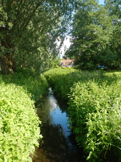
Beyton is a picturesque village with a rich history that dates back to the Domesday Book of 1086. The village is known for its charming thatched cottages, historic buildings, and scenic countryside. It offers a peaceful and rural environment, making it an attractive place to live for those seeking a quieter lifestyle.

The village is well-served by amenities and facilities for its residents. It has a primary school, a village hall, a church, and a pub, providing essential services and a sense of community. Beyton is also surrounded by beautiful countryside, offering opportunities for outdoor activities such as walking, cycling, and horse riding.

Although primarily a residential area, Beyton is conveniently located near major road networks, making it easily accessible for commuters. The A14, a major road connecting the east coast of England to the Midlands, is just a short distance away.

Overall, Beyton is a charming and tranquil village that offers a peaceful and idyllic setting for its residents. With its historic buildings, beautiful countryside, and convenient location, it has become a sought-after place to live in the Suffolk countryside.

If you have any feedback on the listing, please let us know in the comments section below.
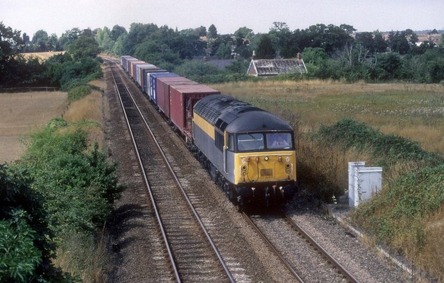
Beyton Images

Images are sourced within 2km of 52.231198/0.835119 or Grid Reference TL9363. Thanks to Geograph Open Source API. All images are credited.

Nether Street towards High Rougham
Quaker Lane Looking north to a junction with Bury Road.
Quaker Lane
Looking north to a junction with Bury Road.
Woods near Grove Farm, from the railway
66517 at Grimwoods/Grove Farm bridge on diverted Freightliner train 66517 on a diverted Freightliner service to Felixstowe with a 755 in the background at Grove Farm/Grimwoods bridge in Thurston/Tostock.
66517 at Grimwoods/Grove Farm bridge on diverted Freightliner train
66517 on a diverted Freightliner service to Felixstowe with a 755 in the background at Grove Farm/Grimwoods bridge in Thurston/Tostock.
Beyton village sign Suffolk has 400 villages and towns with village or town signs, give or take one or two. 
The tradition of village signs is believed to have started in Norfolk early in the 20th century when Edward VII suggested that village signs would aid motorists and give a feature of interest on the Sandringham Estate.
Many of the signs  were made by Harry Carter, an art and woodwork master at Hamond’s Grammar School, in Swaffham.
Many have now been replaced with fibreglass or modern plastics. The story behind the sign is given as accurately as possible.
Beyton village sign
Suffolk has 400 villages and towns with village or town signs, give or take one or two. The tradition of village signs is believed to have started in Norfolk early in the 20th century when Edward VII suggested that village signs would aid motorists and give a feature of interest on the Sandringham Estate. Many of the signs were made by Harry Carter, an art and woodwork master at Hamond’s Grammar School, in Swaffham. Many have now been replaced with fibreglass or modern plastics. The story behind the sign is given as accurately as possible.
Oilseed rape field with poplars This field lies north of Hollow Lane, at Thurston Planche. The line of poplars forms the western boundary of the field.
Oilseed rape field with poplars
This field lies north of Hollow Lane, at Thurston Planche. The line of poplars forms the western boundary of the field.
Diverted liner service The Birmingham to Felixstowe liner service has been diverted cross country rather than via London due to engineering work. With the village of Thurston behind it class 56 number 56048 makes for Ipswich on this very hot day with a shortish train.
Diverted liner service
The Birmingham to Felixstowe liner service has been diverted cross country rather than via London due to engineering work. With the village of Thurston behind it class 56 number 56048 makes for Ipswich on this very hot day with a shortish train.
Flatts Lane, Tostock
Cottages on the Green, Tostock
Pond at Tostock Not much open water in evidence. Most of the pond is covered with reeds.
Pond at Tostock
Not much open water in evidence. Most of the pond is covered with reeds.
Leys Barn Former barn converted to housing.
Leys Barn
Former barn converted to housing.
Sugar Beet Field A field of sugar beet near Tostock.
Sugar Beet Field
A field of sugar beet near Tostock.
Stream, Beyton Green
Bury Road Formerly the A45.
Bury Road
Formerly the A45.
Farm Track at High Rougham The track is also a public right of way.
Farm Track at High Rougham
The track is also a public right of way.
Country road through farmland
The road splits - start of Cangles Road
Entrance to Beyton Middle School
Show me another place!

Beyton is located at Grid Ref: TL9363 (Lat: 52.231198, Lng: 0.835119)

Administrative County: Suffolk

District: Mid Suffolk

Police Authority: Suffolk

What 3 Words

///ideas.prune.oiled. Near Thurston, Suffolk

Related Wikis

Beyton

Beyton is a village and civil parish in the Mid Suffolk district of the English county of Suffolk. The village is around 8 miles (13 km) east of Bury St...

Hessett

Hessett is a village and civil parish in the Mid Suffolk district of Suffolk in eastern England. Hessett is located around four miles south-east of Bury...

Tostock

Tostock is a small village around eight miles east of Bury St. Edmunds in the county of Suffolk. It is a very traditional Suffolk village, with a good...

Tostock Park

During the Second World War Tostock Park was a sub-station of the United States Army Air Force, located in Tostock, near Bury St Edmunds, Suffolk. It was...

Related Videos

Lunchtime dog walk with Ned, Thurston, Suffolk, public footpath walks England

My Golden Retriever Ned decided to take me on a walk at lunch to show me and you his favourite spots to go and play and hang ...

Nearby Amenities

Located within 500m of 52.231198,0.835119
Beyton
Place: village
Source: npe
Wikidata: Q4900266
Lat/Long: 52.2329709/0.8303477
Bus Stop
Green
Naptan AtcoCode: 390040530
Naptan Bearing: E
Naptan CommonName: Green
Naptan Indicator: opp
Naptan Landmark: Green
Naptan NaptanCode: sufgajat
Naptan Street: Thurston Road
Naptan Verified: no
Public Transport: platform
Source: naptan_import
Lat/Long: 52.2344772/0.8335008
Green
Naptan AtcoCode: 390040531
Naptan Bearing: W
Naptan BusStopType: CUS
Naptan CommonName: Green
Naptan Indicator: adj
Naptan Landmark: Green
Naptan NaptanCode: sufgajaw
Naptan Street: Thurston Road
Naptan Verified: no
Source: naptan_import
Lat/Long: 52.2345833/0.8331999
Bus Stop
School
Bus: yes
Naptan AtcoCode: 390040532
Naptan Bearing: NW
Naptan BusStopType: CUS
Naptan CommonName: School
Naptan Indicator: o/s
Naptan Landmark: Near Green
Naptan NaptanCode: sufgajda
Naptan Street: Drinkstone Road
Naptan Verified: no
Public Transport: platform
Source: naptan_import
Lat/Long: 52.2333337/0.8350537
Bear Meadow
Naptan AtcoCode: 390041076
Naptan Bearing: NW
Naptan BusStopType: CUS
Naptan CommonName: Bear Meadow
Naptan Indicator: adj
Naptan Landmark: Bear Meadow
Naptan NaptanCode: sufjpdgd
Naptan Street: Tostock Road
Naptan Verified: no
Source: naptan_import
Lat/Long: 52.2328323/0.8372042
Bear Meadow
Naptan AtcoCode: 390041077
Naptan Bearing: SE
Naptan BusStopType: CUS
Naptan CommonName: Bear Meadow
Naptan Indicator: opp
Naptan Landmark: Bear Meadow
Naptan NaptanCode: sufjpdgj
Naptan Street: Tostock Road
Naptan Verified: no
Source: naptan_import
Lat/Long: 52.2329272/0.8373714
Bus Stop
Bury Road
Naptan AtcoCode: 390050679
Naptan Bearing: E
Naptan CommonName: Bury Road
Naptan Indicator: adj
Naptan Landmark: Shelter
Naptan NaptanCode: sufgjgwt
Naptan Street: The Green
Naptan Verified: no
Shelter: yes
Source: naptan_import
Lat/Long: 52.234136/0.8316042
Bury Road
Naptan AtcoCode: 390050680
Naptan Bearing: W
Naptan BusStopType: CUS
Naptan CommonName: Bury Road
Naptan Indicator: opp
Naptan Landmark: Shelter
Naptan NaptanCode: sufgjmad
Naptan Street: The Green
Naptan Verified: no
Source: naptan_import
Lat/Long: 52.2340064/0.831757
Power: pole
Lat/Long: 52.2306055/0.8322733
Power: pole
Lat/Long: 52.2313628/0.8400651
Power: pole
Lat/Long: 52.2295754/0.834006
Power: pole
Lat/Long: 52.2294424/0.8390888
Power: pole
Lat/Long: 52.2282398/0.8327534
Power: pole
Lat/Long: 52.2310162/0.8351057
Power: pole
Lat/Long: 52.2317193/0.8356341
Power: pole
Lat/Long: 52.2275908/0.8321553
Power: pole
Lat/Long: 52.2333522/0.83664
Power: pole
Lat/Long: 52.230778/0.8420795
Power: pole
Lat/Long: 52.2317522/0.8387294
Power: pole
Lat/Long: 52.2350967/0.8363664
Power: pole
Lat/Long: 52.2342195/0.8364844
Power: pole
Lat/Long: 52.231348/0.8321285
Power: pole
Lat/Long: 52.2289167/0.8333891
Power: pole
Lat/Long: 52.2324372/0.8362028
Power: pole
Lat/Long: 52.2309768/0.8413902
Power: pole
Lat/Long: 52.2321481/0.8374205
Power: pole
Lat/Long: 52.2302966/0.8345666
Power: pole
Lat/Long: 52.2294982/0.8404487
Power: pole
Lat/Long: 52.2301472/0.84124
Power: pole
Lat/Long: 52.2301159/0.8330968
Post Box
Post Box Type: pillar
Ref: IP30 2137
Royal Cypher: EIIR
Royal Cypher Wikidata: Q33102113
Lat/Long: 52.2341396/0.8317225
Bench
Lat/Long: 52.2341504/0.8318307
The data included in this document is from www.openstreetmap.org. The data is made available under ODbL.

Have you been to Beyton?

Leave your review of Beyton below (or comments, questions and feedback).