Bibury

Civil Parish in Gloucestershire Cotswold

England

Bibury

Stone Stile, Bibury Actually in Arlington, the South/West side of Bibury. On Gloucestershire footpath KBY16. This view is looking SW from the farm track (KBY13). The view from the field is <a href="https://www.geograph.org.uk/photo/7060080">SP1106 : Stone Stile, Bibury</a>.
Stone Stile, Bibury Credit: Mr Red

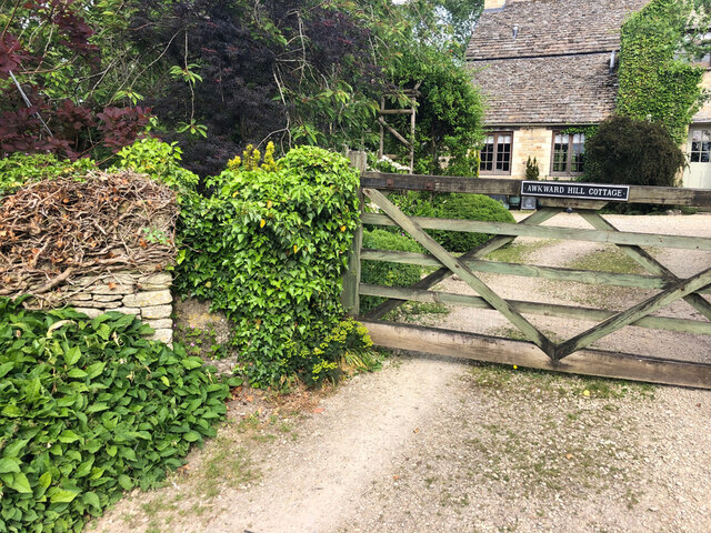
Bibury is a picturesque civil parish located in the Cotswold District of Gloucestershire, England. It is situated on the River Coln and is renowned for its charming and well-preserved traditional architecture.

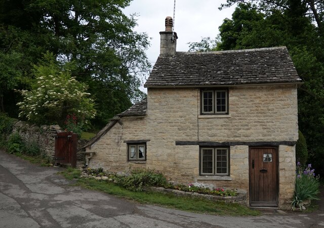
The village of Bibury is often referred to as one of the most beautiful villages in England, attracting visitors from all over the world. Its most famous feature is Arlington Row, a row of 17th-century weavers' cottages that now serve as quaint holiday cottages. These cottages are built in the typical Cotswold style, with stone walls and steep roofs, adding to the village's timeless charm.

Bibury is also home to the Church of St. Mary, a beautiful Anglican parish church dating back to the 12th century. Its stunning stained glass windows and ancient architecture make it a must-visit for history enthusiasts.

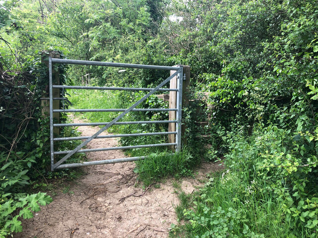
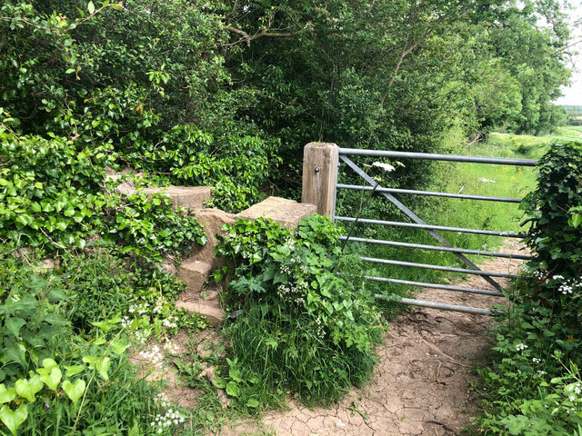
The surrounding countryside offers breathtaking views and numerous walking trails, making Bibury a haven for nature lovers. The nearby Bibury Trout Farm is a popular attraction where visitors can catch their own fish or simply enjoy the tranquil surroundings.

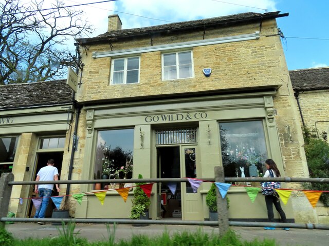
The village has a small population, with a strong sense of community. There are a few amenities available to residents and visitors, including a village shop, tearooms, and a pub serving traditional English fare.

Bibury's idyllic setting and historic charm have made it a popular filming location, featured in movies such as "Stardust" and "Bridget Jones's Diary." Its timeless beauty and peaceful atmosphere make it a truly enchanting destination in the heart of the Cotswolds.

If you have any feedback on the listing, please let us know in the comments section below.
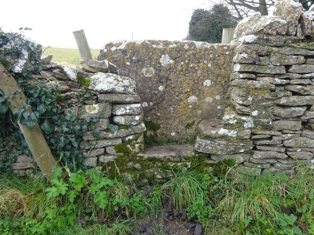
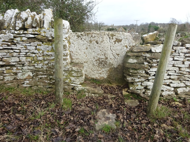
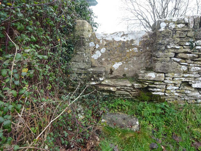
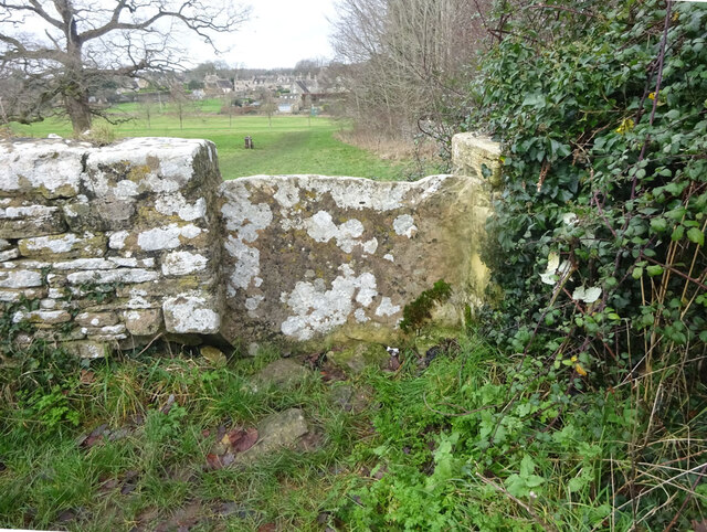
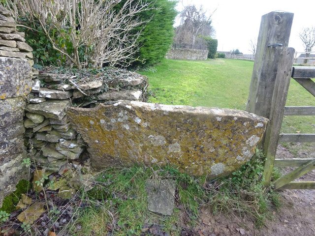
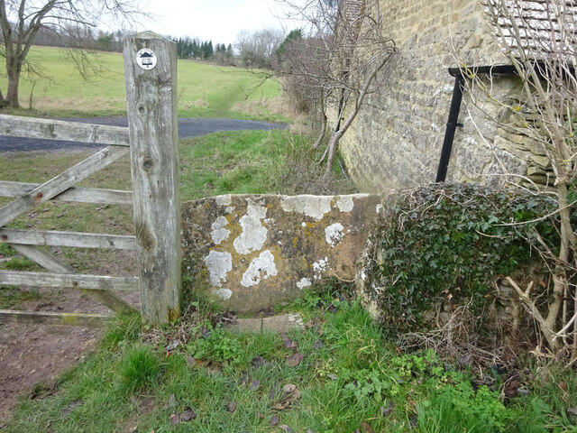
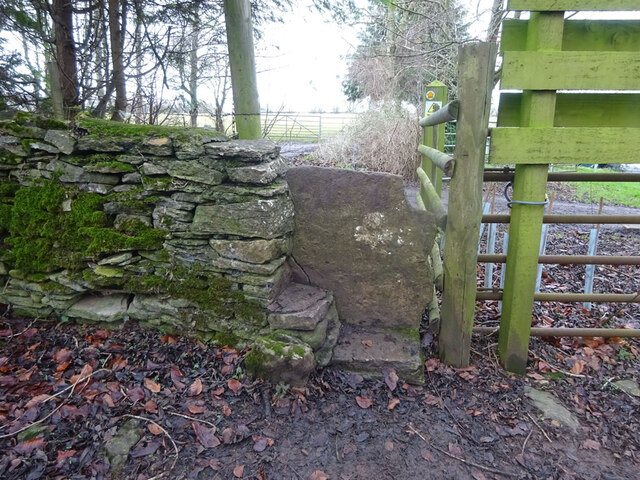
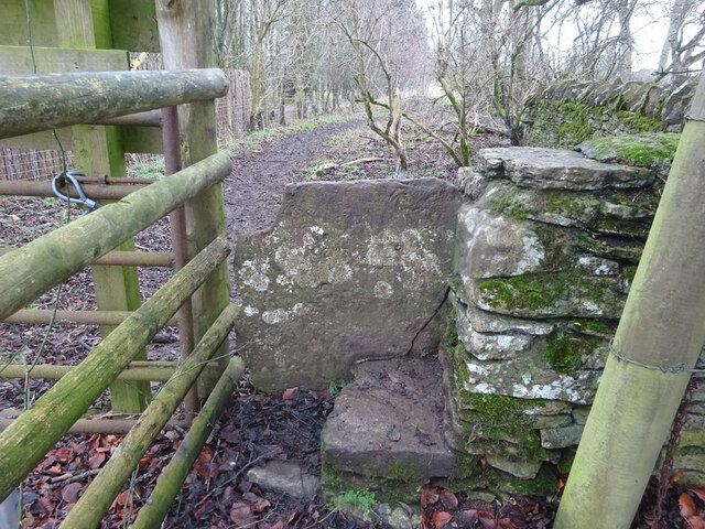
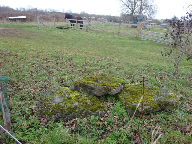
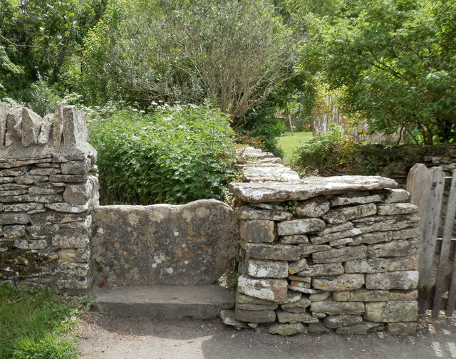
Bibury Images

Images are sourced within 2km of 51.768616/-1.834138 or Grid Reference SP1107. Thanks to Geograph Open Source API. All images are credited.

Stone Stile, Bibury Actually in Arlington, the South/West side of Bibury. On Gloucestershire footpath KBY16. This view is looking SW from the farm track (KBY13). The view from the field is <a href="https://www.geograph.org.uk/photo/7060080">SP1106 : Stone Stile, Bibury</a>.
Stone Stile, Bibury
Actually in Arlington, the South/West side of Bibury. On Gloucestershire footpath KBY16. This view is looking SW from the farm track (KBY13). The view from the field is SP1106 : Stone Stile, Bibury.
Stone Stile, Bibury Actually in Arlington, the South/West side of Bibury. On Gloucestershire footpath KBY16. This view is looking NE to the farm track (KBY13). The view from the track is <a href="https://www.geograph.org.uk/photo/7060078">SP1106 : Stone Stile, Bibury</a>.
Stone Stile, Bibury
Actually in Arlington, the South/West side of Bibury. On Gloucestershire footpath KBY16. This view is looking NE to the farm track (KBY13). The view from the track is SP1106 : Stone Stile, Bibury.
Stone Stile, Bibury Looking SE on Gloucestershire footpaths KBY16 & KBY11. The other side, footpath KBY15 runs NE towards the famous Arlington Row that Bibury is noted for. The view from that footpath is <a href="https://www.geograph.org.uk/photo/7060088">SP1106 : Stone Stile, Bibury</a>.
Stone Stile, Bibury
Looking SE on Gloucestershire footpaths KBY16 & KBY11. The other side, footpath KBY15 runs NE towards the famous Arlington Row that Bibury is noted for. The view from that footpath is SP1106 : Stone Stile, Bibury.
Stone Stile, Bibury Looking NW to Gloucestershire footpaths KBY16 & KBY11. This side the footpath KBY15 runs NE towards the famous Arlington Row that Bibury is noted for. The view from the fields is <a href="https://www.geograph.org.uk/photo/7060086">SP1106 : Stone Stile, Bibury</a>.
Stone Stile, Bibury
Looking NW to Gloucestershire footpaths KBY16 & KBY11. This side the footpath KBY15 runs NE towards the famous Arlington Row that Bibury is noted for. The view from the fields is SP1106 : Stone Stile, Bibury.
Stone Stile, Bibury In the area known as Arlington Corner, on the Gloucestershire footpath KBY18 looking SE. The view NW is <a href="https://www.geograph.org.uk/photo/7060092">SP1006 : Stone Stile, Bibury</a>. The route has labels naming it "The Palladian Way (an Architectural trail)"
Stone Stile, Bibury
In the area known as Arlington Corner, on the Gloucestershire footpath KBY18 looking SE. The view NW is SP1006 : Stone Stile, Bibury. The route has labels naming it "The Palladian Way (an Architectural trail)"
Stone Stile, Bibury In the area known as Arlington Corner, on the Gloucestershire footpath KBY18 looking NW to fields. The view SE is <a href="https://www.geograph.org.uk/photo/7060090">SP1006 : Stone Stile, Bibury</a>. The route has labels naming it "The Palladian Way (an Architectural trail)"
Stone Stile, Bibury
In the area known as Arlington Corner, on the Gloucestershire footpath KBY18 looking NW to fields. The view SE is SP1006 : Stone Stile, Bibury. The route has labels naming it "The Palladian Way (an Architectural trail)"
Stone Stile, Bibury On Pudding Hill Farm along the Gloucestershire footpath KBY18 looking NW. The view looking SE is <a href="https://www.geograph.org.uk/photo/7060100">SP1006 : Stone Stile, Bibury</a>.
Stone Stile, Bibury
On Pudding Hill Farm along the Gloucestershire footpath KBY18 looking NW. The view looking SE is SP1006 : Stone Stile, Bibury.
Stone Stile, Bibury On Pudding Hill Farm along the Gloucestershire footpath KBY18 looking SE. The view looking NW is <a href="https://www.geograph.org.uk/photo/7060099">SP1006 : Stone Stile, Bibury</a>.
Stone Stile, Bibury
On Pudding Hill Farm along the Gloucestershire footpath KBY18 looking SE. The view looking NW is SP1006 : Stone Stile, Bibury.
Stone Stile, Bibury Fallen idles. The one in the foreground is about 1m from the current route of Gloucestershire footpath KBY18 and a wooden stile. The pile due North near the horse are similarly close to a farm track. At least one of these groups was probably the remains of a stone stile. An old farm house called Upper Severalls is to the NW, Ablington further NNW. The field beyond the hedges is the site of Rowberrow Camp, a series of ditches surrounding several small tumps.
Stone Stile, Bibury
Fallen idles. The one in the foreground is about 1m from the current route of Gloucestershire footpath KBY18 and a wooden stile. The pile due North near the horse are similarly close to a farm track. At least one of these groups was probably the remains of a stone stile. An old farm house called Upper Severalls is to the NW, Ablington further NNW. The field beyond the hedges is the site of Rowberrow Camp, a series of ditches surrounding several small tumps.
Old Milestone, near Bibury About ½ a mile NE of the village. Carved stone post by the B4425, in the parish of BIBURY (COTSWOLD District), NE of Bibury Farm, by the road. Bibury marker, erected by the Bibury & Dancy's Fancy turnpike trust in the 19th century.

Inscription once read: Cirencester 8 / Burford 9

Milestone Society National ID: GL_CIBF08
Old Milestone, near Bibury
About ½ a mile NE of the village. Carved stone post by the B4425, in the parish of BIBURY (COTSWOLD District), NE of Bibury Farm, by the road. Bibury marker, erected by the Bibury & Dancy's Fancy turnpike trust in the 19th century. Inscription once read: Cirencester 8 / Burford 9 Milestone Society National ID: GL_CIBF08
Stone Stile, Bibury GS2404 Off Awkward Hill (aka Arlington Row, i.e. the houses) on Gloucestershire footpath KBY10 looking South.
Stone Stile, Bibury GS2404
Off Awkward Hill (aka Arlington Row, i.e. the houses) on Gloucestershire footpath KBY10 looking South.
Cottage on Awkward Hill, Bibury
Stone Stile, Bibury On Gloucestershire footpath KBY13, South of Bibury Cricket Ground. Looking NW, the view East is <a href="https://www.geograph.org.uk/photo/7317324">SP1106 : Stone Stile, Bibury</a>.
Stone Stile, Bibury
On Gloucestershire footpath KBY13, South of Bibury Cricket Ground. Looking NW, the view East is SP1106 : Stone Stile, Bibury.
Stone Stile, Bibury On Gloucestershire footpath KBY13, South of Bibury Cricket Ground. Looking East, the view NW is <a href="https://www.geograph.org.uk/photo/7317323">SP1106 : Stone Stile, Bibury</a>.
Stone Stile, Bibury
On Gloucestershire footpath KBY13, South of Bibury Cricket Ground. Looking East, the view NW is SP1106 : Stone Stile, Bibury.
Stone Stile, Bibury A private step stile off Gloucestershire bridleway KBY8 near Bibury Farm and Court Farm. Looking West, the view East from the stile is <a href="https://www.geograph.org.uk/photo/7317347">SP1206 : Stone Stile, Bibury</a>.
Stone Stile, Bibury
A private step stile off Gloucestershire bridleway KBY8 near Bibury Farm and Court Farm. Looking West, the view East from the stile is SP1206 : Stone Stile, Bibury.
Stone Stile, Bibury A private step stile off Gloucestershire bridleway KBY8 near Bibury Farm and Court Farm. Looking East from the stile, the view West is <a href="https://www.geograph.org.uk/photo/7317346">SP1206 : Stone Stile, Bibury</a>.
Stone Stile, Bibury
A private step stile off Gloucestershire bridleway KBY8 near Bibury Farm and Court Farm. Looking East from the stile, the view West is SP1206 : Stone Stile, Bibury.
Stone Stile, Bibury A private stile to Awkward Hill Cottage. Near the famed "Arlington Row", and at the junction of Awkward Hill and Hawkers Hill.
Stone Stile, Bibury
A private stile to Awkward Hill Cottage. Near the famed "Arlington Row", and at the junction of Awkward Hill and Hawkers Hill.
Go Wild & Co in Bibury
Show me another place!

Bibury is located at Grid Ref: SP1107 (Lat: 51.768616, Lng: -1.834138)

Administrative County: Gloucestershire

District: Cotswold

Police Authority: Gloucestershire

What 3 Words

///fermented.quirky.outhouse. Near Northleach, Gloucestershire

Nearby Locations

Bibury Copse Bibury

Related Wikis

Arlington Row

Arlington Row at Arlington in the parish of Bibury, Gloucestershire, England was built in the late 14th century as a wool store and converted into weavers...

Bibury

Bibury is a village and civil parish in Gloucestershire, England. It is on the River Coln, a Thames tributary that rises in the same (Cotswold) District...

Ablington, Gloucestershire

Ablington is a village in the county of Gloucestershire, England. It is located in the Coln Valley and is part of the Bibury civil parish, 6 miles (9...

Ablington Manor

Ablington Manor is a Grade I listed country house in Potlicker's Lane, Ablington within the parish of Bibury, Gloucestershire, England. The estate was...

Arlington, Gloucestershire

Arlington is a Cotswold village in the parish of Bibury, Gloucestershire, England. == History == In 1066 Arlington had two mills and continued to flourish...

Church of St Mary, Bibury

The Anglican Church of St Mary at Bibury in the Cotswold District of Gloucestershire, England, was built in the 11th century. It is a grade I listed building...

RAF Bibury

Royal Air Force Bibury or more simply RAF Bibury is a former Royal Air Force satellite station located north east of Cirencester, Gloucestershire, England...
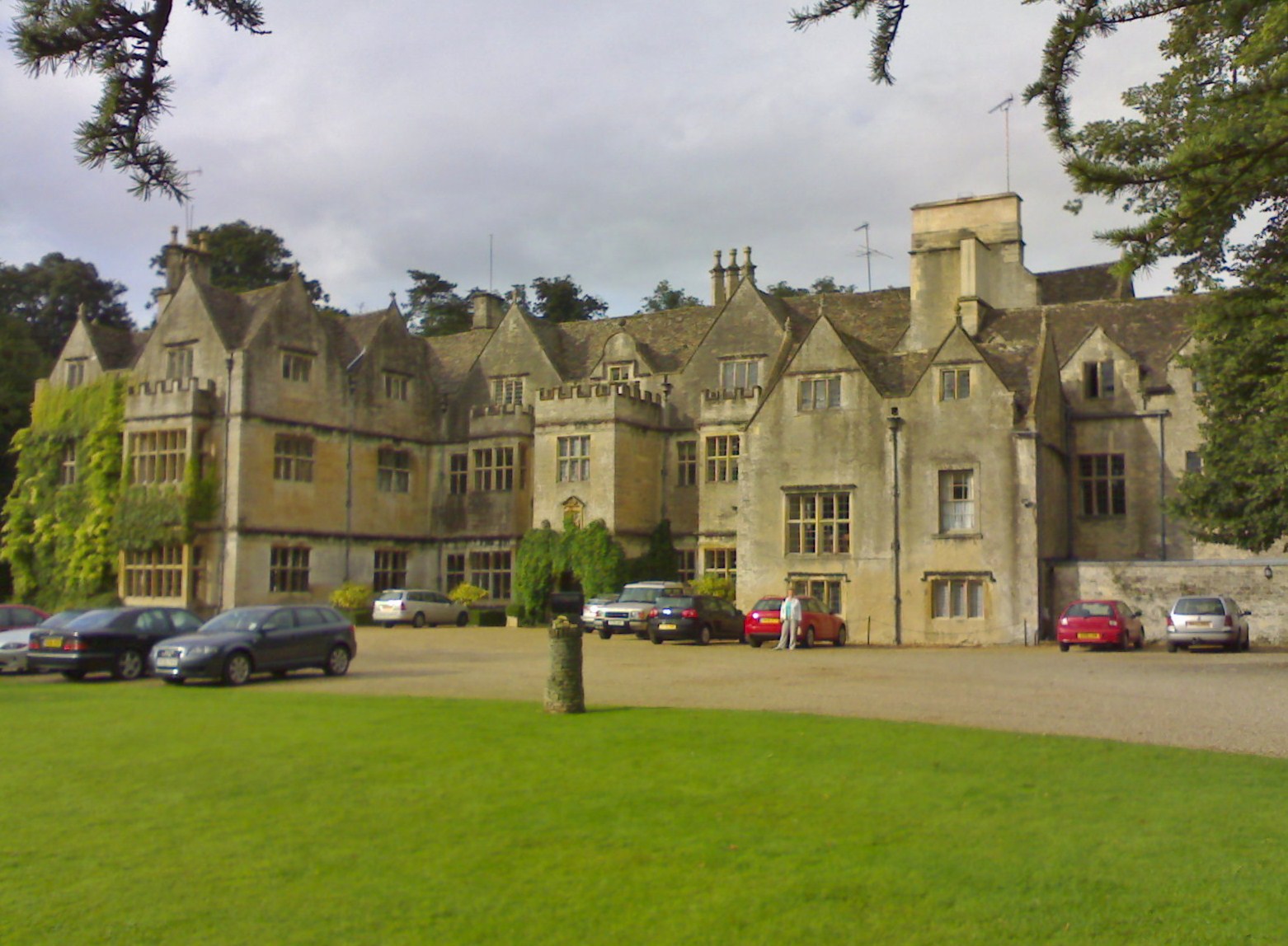
Bibury Court

Bibury Court is a Grade I listed Jacobean country house in Bibury, Gloucestershire, England.The River Coln flows to the south of the property. == History... ==

Have you been to Bibury?

Leave your review of Bibury below (or comments, questions and feedback).