Bibury Copse

Wood, Forest in Gloucestershire Cotswold

England

Bibury Copse

Stone Stile, Bibury Actually in Arlington, the South/West side of Bibury. On Gloucestershire footpath KBY16. This view is looking SW from the farm track (KBY13). The view from the field is <a href="https://www.geograph.org.uk/photo/7060080">SP1106 : Stone Stile, Bibury</a>.
Stone Stile, Bibury Credit: Mr Red

Bibury Copse is a charming woodland located in the district of Gloucestershire, England. Set amidst the picturesque Cotswold countryside, this copse is a serene and enchanting natural haven that attracts visitors from near and far.

Covering an area of approximately 20 acres, Bibury Copse is predominantly made up of deciduous trees, including oak, beech, and ash, which create a dense and diverse forest canopy. The copse is renowned for its ancient trees, some of which are believed to be over 200 years old, adding a sense of history and grandeur to the landscape.

Visitors to Bibury Copse can explore a network of well-maintained footpaths that wind their way through the woods, providing opportunities for leisurely walks and nature appreciation. The woodland floor is adorned with a rich carpet of wildflowers, including bluebells and primroses, which bloom in vibrant hues during the spring months, creating a breathtaking spectacle.

The copse is also home to a variety of wildlife, making it a popular spot for birdwatching and nature enthusiasts. Visitors may catch a glimpse of woodland birds such as woodpeckers, thrushes, and finches, along with occasional sightings of deer and foxes.

Bibury Copse offers a peaceful retreat for those seeking solitude and tranquility. Its idyllic setting and natural beauty make it a favored destination for photography, painting, and simply unwinding amidst the splendor of nature.

If you have any feedback on the listing, please let us know in the comments section below.
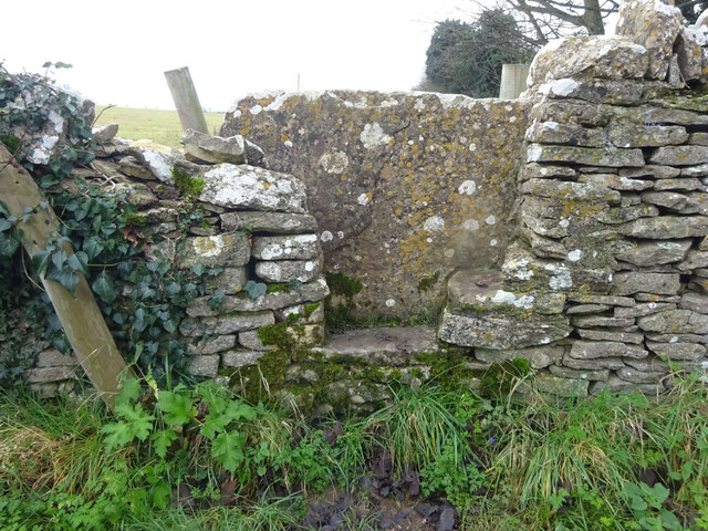
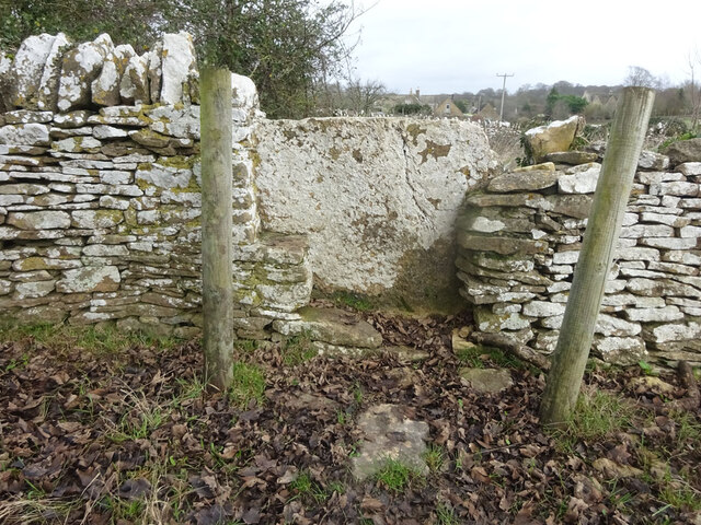
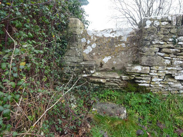
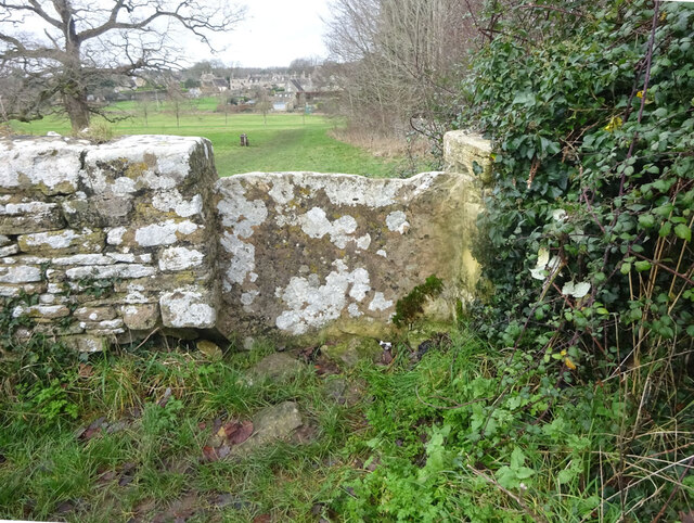
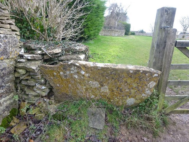
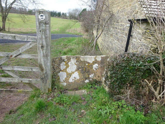
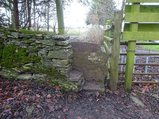
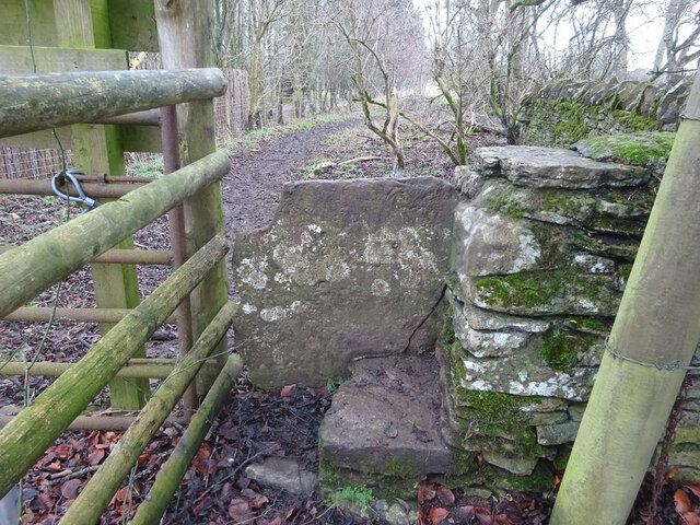
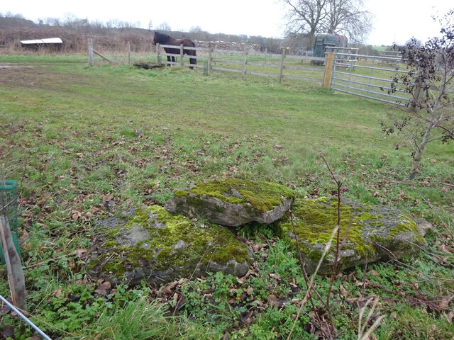
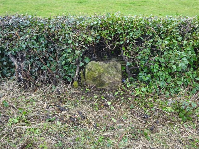
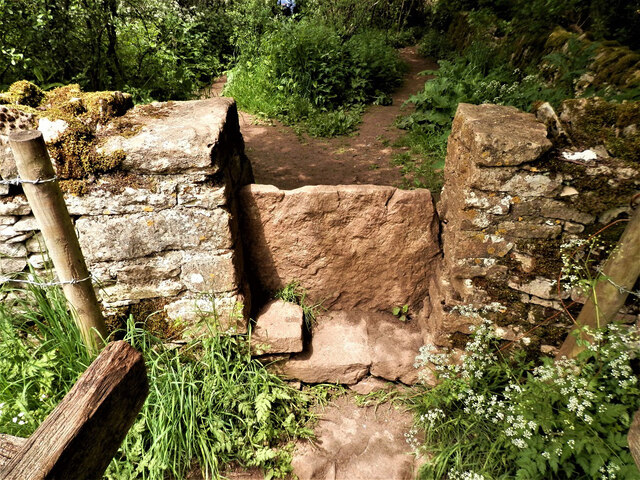
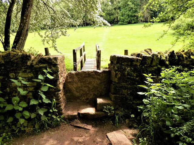
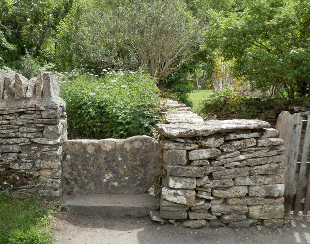
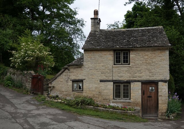
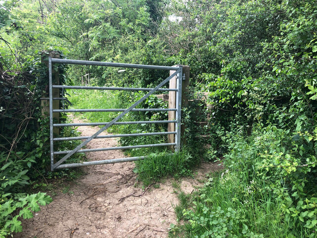
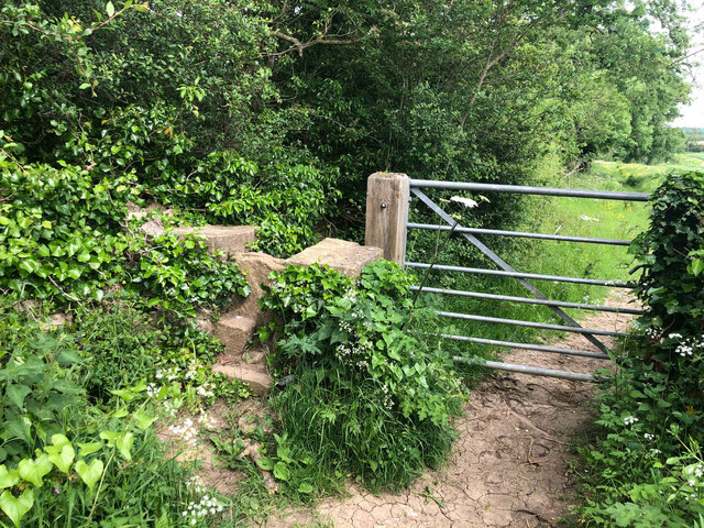
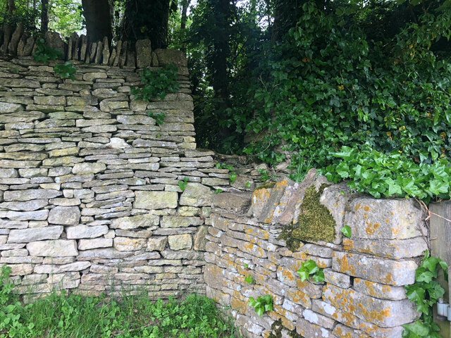
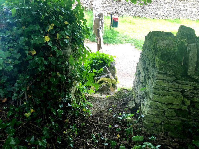
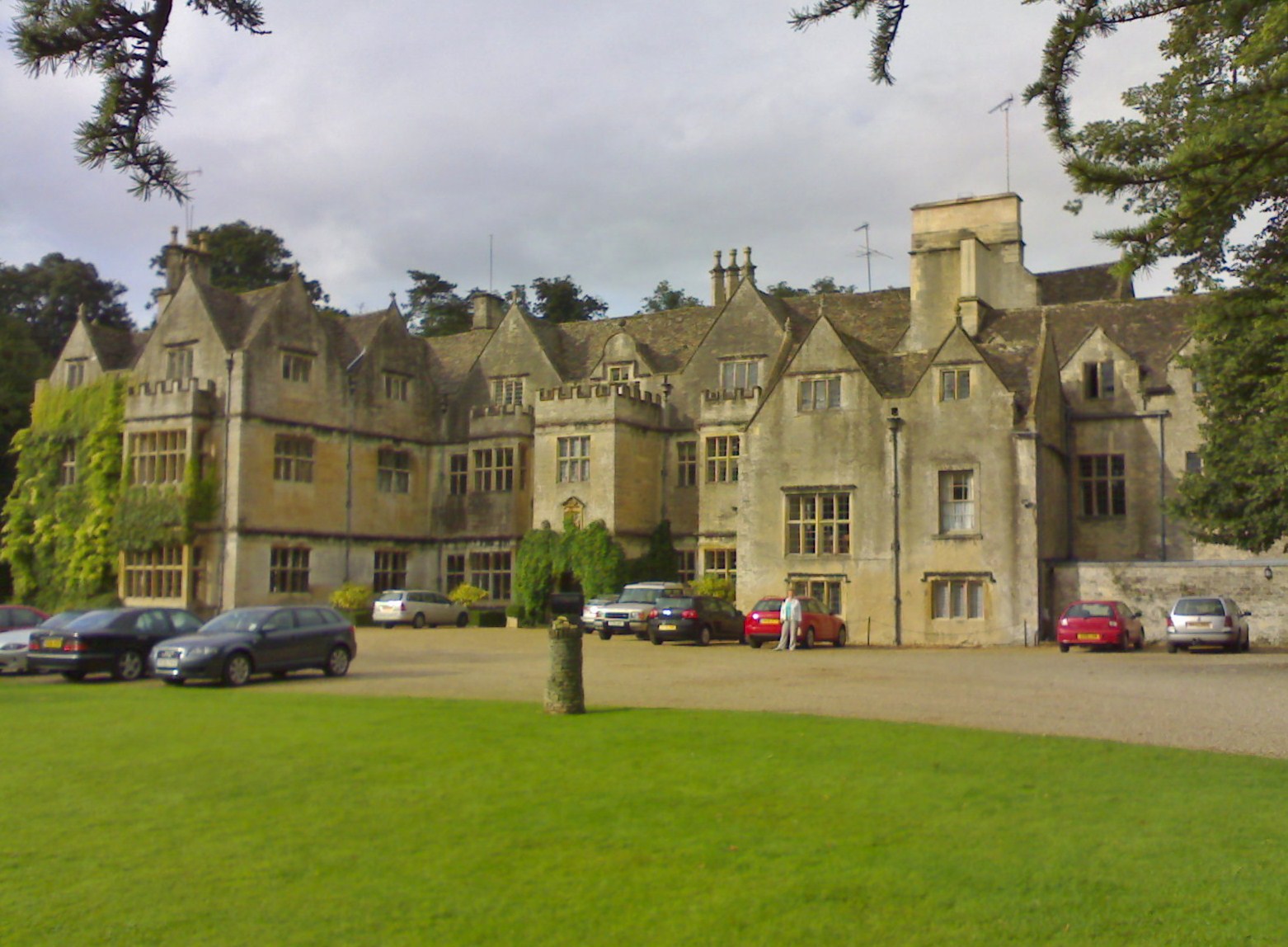
Bibury Copse Images

Images are sourced within 2km of 51.761873/-1.82808 or Grid Reference SP1107. Thanks to Geograph Open Source API. All images are credited.

Stone Stile, Bibury Actually in Arlington, the South/West side of Bibury. On Gloucestershire footpath KBY16. This view is looking SW from the farm track (KBY13). The view from the field is <a href="https://www.geograph.org.uk/photo/7060080">SP1106 : Stone Stile, Bibury</a>.
Stone Stile, Bibury
Actually in Arlington, the South/West side of Bibury. On Gloucestershire footpath KBY16. This view is looking SW from the farm track (KBY13). The view from the field is SP1106 : Stone Stile, Bibury.
Stone Stile, Bibury Actually in Arlington, the South/West side of Bibury. On Gloucestershire footpath KBY16. This view is looking NE to the farm track (KBY13). The view from the track is <a href="https://www.geograph.org.uk/photo/7060078">SP1106 : Stone Stile, Bibury</a>.
Stone Stile, Bibury
Actually in Arlington, the South/West side of Bibury. On Gloucestershire footpath KBY16. This view is looking NE to the farm track (KBY13). The view from the track is SP1106 : Stone Stile, Bibury.
Stone Stile, Bibury Looking SE on Gloucestershire footpaths KBY16 & KBY11. The other side, footpath KBY15 runs NE towards the famous Arlington Row that Bibury is noted for. The view from that footpath is <a href="https://www.geograph.org.uk/photo/7060088">SP1106 : Stone Stile, Bibury</a>.
Stone Stile, Bibury
Looking SE on Gloucestershire footpaths KBY16 & KBY11. The other side, footpath KBY15 runs NE towards the famous Arlington Row that Bibury is noted for. The view from that footpath is SP1106 : Stone Stile, Bibury.
Stone Stile, Bibury Looking NW to Gloucestershire footpaths KBY16 & KBY11. This side the footpath KBY15 runs NE towards the famous Arlington Row that Bibury is noted for. The view from the fields is <a href="https://www.geograph.org.uk/photo/7060086">SP1106 : Stone Stile, Bibury</a>.
Stone Stile, Bibury
Looking NW to Gloucestershire footpaths KBY16 & KBY11. This side the footpath KBY15 runs NE towards the famous Arlington Row that Bibury is noted for. The view from the fields is SP1106 : Stone Stile, Bibury.
Stone Stile, Bibury In the area known as Arlington Corner, on the Gloucestershire footpath KBY18 looking SE. The view NW is <a href="https://www.geograph.org.uk/photo/7060092">SP1006 : Stone Stile, Bibury</a>. The route has labels naming it "The Palladian Way (an Architectural trail)"
Stone Stile, Bibury
In the area known as Arlington Corner, on the Gloucestershire footpath KBY18 looking SE. The view NW is SP1006 : Stone Stile, Bibury. The route has labels naming it "The Palladian Way (an Architectural trail)"
Stone Stile, Bibury In the area known as Arlington Corner, on the Gloucestershire footpath KBY18 looking NW to fields. The view SE is <a href="https://www.geograph.org.uk/photo/7060090">SP1006 : Stone Stile, Bibury</a>. The route has labels naming it "The Palladian Way (an Architectural trail)"
Stone Stile, Bibury
In the area known as Arlington Corner, on the Gloucestershire footpath KBY18 looking NW to fields. The view SE is SP1006 : Stone Stile, Bibury. The route has labels naming it "The Palladian Way (an Architectural trail)"
Stone Stile, Bibury On Pudding Hill Farm along the Gloucestershire footpath KBY18 looking NW. The view looking SE is <a href="https://www.geograph.org.uk/photo/7060100">SP1006 : Stone Stile, Bibury</a>.
Stone Stile, Bibury
On Pudding Hill Farm along the Gloucestershire footpath KBY18 looking NW. The view looking SE is SP1006 : Stone Stile, Bibury.
Stone Stile, Bibury On Pudding Hill Farm along the Gloucestershire footpath KBY18 looking SE. The view looking NW is <a href="https://www.geograph.org.uk/photo/7060099">SP1006 : Stone Stile, Bibury</a>.
Stone Stile, Bibury
On Pudding Hill Farm along the Gloucestershire footpath KBY18 looking SE. The view looking NW is SP1006 : Stone Stile, Bibury.
Stone Stile, Bibury Fallen idles. The one in the foreground is about 1m from the current route of Gloucestershire footpath KBY18 and a wooden stile. The pile due North near the horse are similarly close to a farm track. At least one of these groups was probably the remains of a stone stile. An old farm house called Upper Severalls is to the NW, Ablington further NNW. The field beyond the hedges is the site of Rowberrow Camp, a series of ditches surrounding several small tumps.
Stone Stile, Bibury
Fallen idles. The one in the foreground is about 1m from the current route of Gloucestershire footpath KBY18 and a wooden stile. The pile due North near the horse are similarly close to a farm track. At least one of these groups was probably the remains of a stone stile. An old farm house called Upper Severalls is to the NW, Ablington further NNW. The field beyond the hedges is the site of Rowberrow Camp, a series of ditches surrounding several small tumps.
Old Milestone, near Bibury About ½ a mile NE of the village. Carved stone post by the B4425, in the parish of BIBURY (COTSWOLD District), NE of Bibury Farm, by the road. Bibury marker, erected by the Bibury & Dancy's Fancy turnpike trust in the 19th century.

Inscription once read: Cirencester 8 / Burford 9

Milestone Society National ID: GL_CIBF08
Old Milestone, near Bibury
About ½ a mile NE of the village. Carved stone post by the B4425, in the parish of BIBURY (COTSWOLD District), NE of Bibury Farm, by the road. Bibury marker, erected by the Bibury & Dancy's Fancy turnpike trust in the 19th century. Inscription once read: Cirencester 8 / Burford 9 Milestone Society National ID: GL_CIBF08
Stone Stile, Bibury/Quenington GS2403 On the boundary of Bibury and Quenington with Gloucestershire footpaths KBY13A, BQU3 (left) & BQU2 (right) looking SE. The view looking NW is <a href="https://www.geograph.org.uk/photo/7265278">SP1205 : Stone Stile, Bibury/Quenington GS2403</a>.
Stone Stile, Bibury/Quenington GS2403
On the boundary of Bibury and Quenington with Gloucestershire footpaths KBY13A, BQU3 (left) & BQU2 (right) looking SE. The view looking NW is SP1205 : Stone Stile, Bibury/Quenington GS2403.
Stone Stile, Bibury/Quenington GS2403 On the boundary of Bibury and Quenington with Gloucestershire footpaths KBY13A (background), BQU3 & BQU2, view is looking NW. The view looking SE is <a href="https://www.geograph.org.uk/photo/7265278">SP1205 : Stone Stile, Bibury/Quenington GS2403</a>.
Stone Stile, Bibury/Quenington GS2403
On the boundary of Bibury and Quenington with Gloucestershire footpaths KBY13A (background), BQU3 & BQU2, view is looking NW. The view looking SE is SP1205 : Stone Stile, Bibury/Quenington GS2403.
Stone Stile, Bibury GS2404 Off Awkward Hill (aka Arlington Row, i.e. the houses) on Gloucestershire footpath KBY10 looking South.
Stone Stile, Bibury GS2404
Off Awkward Hill (aka Arlington Row, i.e. the houses) on Gloucestershire footpath KBY10 looking South.
Cottage on Awkward Hill, Bibury
Stone Stile, Bibury On Gloucestershire footpath KBY13, South of Bibury Cricket Ground. Looking NW, the view East is <a href="https://www.geograph.org.uk/photo/7317324">SP1106 : Stone Stile, Bibury</a>.
Stone Stile, Bibury
On Gloucestershire footpath KBY13, South of Bibury Cricket Ground. Looking NW, the view East is SP1106 : Stone Stile, Bibury.
Stone Stile, Bibury On Gloucestershire footpath KBY13, South of Bibury Cricket Ground. Looking East, the view NW is <a href="https://www.geograph.org.uk/photo/7317323">SP1106 : Stone Stile, Bibury</a>.
Stone Stile, Bibury
On Gloucestershire footpath KBY13, South of Bibury Cricket Ground. Looking East, the view NW is SP1106 : Stone Stile, Bibury.
Stone Stile, Bibury A private step stile off Gloucestershire bridleway KBY8 near Bibury Farm and Court Farm. Looking West, the view East from the stile is <a href="https://www.geograph.org.uk/photo/7317347">SP1206 : Stone Stile, Bibury</a>.
Stone Stile, Bibury
A private step stile off Gloucestershire bridleway KBY8 near Bibury Farm and Court Farm. Looking West, the view East from the stile is SP1206 : Stone Stile, Bibury.
Stone Stile, Bibury A private step stile off Gloucestershire bridleway KBY8 near Bibury Farm and Court Farm. Looking East from the stile, the view West is <a href="https://www.geograph.org.uk/photo/7317346">SP1206 : Stone Stile, Bibury</a>.
Stone Stile, Bibury
A private step stile off Gloucestershire bridleway KBY8 near Bibury Farm and Court Farm. Looking East from the stile, the view West is SP1206 : Stone Stile, Bibury.
Show me another place!

Bibury Copse is located at Grid Ref: SP1107 (Lat: 51.761873, Lng: -1.82808)

Administrative County: Gloucestershire

District: Cotswold

Police Authority: Gloucestershire

What 3 Words

///firmer.dices.crank. Near Fairford, Gloucestershire

Nearby Locations

Bibury Bibury Copse

Related Wikis

Nearby Amenities

Located within 500m of 51.761873,-1.82808
Bibury
Place: village
Postal Code: GL7 5
Wikidata: Q856722
Wikipedia: en:Bibury
Lat/Long: 51.7596669/-1.8333562
Telephone
Booth: K6
Covered: booth
Listed Status: Grade II
Operator: BT
Operator Wikidata: Q593786
Phone: +44 1285 740322
Postal Code: GL7 5NS
Source: survey
Lat/Long: 51.7586419/-1.8306173
Bus Stop
The Square
Bus: yes
Naptan AtcoCode: 1600GL5507
Naptan Bearing: NE
Naptan CommonName: The Square
Naptan Indicator: Opp
Naptan NaptanCode: glogdjpm
Naptan Street: B4425
Naptan Verified: no
Public Transport: platform
Source: naptan_import
Lat/Long: 51.7588278/-1.8308145
Bus Stop
The Square
Bus: yes
Naptan AtcoCode: 1600GL5508
Naptan Bearing: NE
Naptan CommonName: The Square
Naptan NaptanCode: glogdjpt
Naptan Street: B4425
Naptan Verified: no
Public Transport: platform
Source: naptan_import
Lat/Long: 51.7587018/-1.8307425
Bus Stop
Swan Hotel
Bus: yes
Naptan AtcoCode: 1600GLC239
Naptan Bearing: SE
Naptan CommonName: Swan Hotel
Naptan NaptanCode: glogdjgt
Naptan Street: Ablington Rd
Naptan Verified: no
Public Transport: platform
Source: naptan_import
Lat/Long: 51.7607939/-1.835067
Bus Stop
Bridge House
Bus: yes
Naptan AtcoCode: 1600GLC355
Naptan Bearing: SE
Naptan CommonName: Bridge House
Naptan NaptanCode: glogdjmg
Naptan Street: B4425
Naptan Verified: no
Public Transport: platform
Source: naptan_import
Lat/Long: 51.7591377/-1.8337691
Bus Stop
Village Hall
Bus: yes
Naptan AtcoCode: 1600GLC381
Naptan Bearing: NE
Naptan CommonName: Village Hall
Naptan Indicator: Opp
Naptan NaptanCode: glogdjpg
Naptan Street: B4425
Naptan Verified: no
Public Transport: platform
Source: naptan_import
Lat/Long: 51.7581012/-1.8320053
Bus Stop
Aldsworth Rd Estate
Bus: yes
Naptan AtcoCode: 1600GLC399
Naptan Bearing: NE
Naptan CommonName: Aldsworth Rd Estate
Naptan Indicator: Opp
Naptan NaptanCode: glogdjwt
Naptan Street: B4425
Naptan Verified: no
Public Transport: platform
Source: naptan_import
Lat/Long: 51.7635867/-1.8263627
Bus Stop
Aldsworth Rd Estate
Bus: yes
Naptan AtcoCode: 1600GLC400
Naptan Bearing: SW
Naptan CommonName: Aldsworth Rd Estate
Naptan NaptanCode: glogdmaj
Naptan Street: B4425
Naptan Verified: no
Public Transport: platform
Source: naptan_import
Lat/Long: 51.7634787/-1.8262761
Toilets
Access: yes
Charge: 0.20 GBP
Fee: yes
Unisex: yes
Lat/Long: 51.7591698/-1.8336482
Post Box
Note: Out of Service (06/11/23)
Operator: Royal Mail
Post Box Type: wall
Ref: GL7 62
Royal Cypher: GR
Royal Cypher Wikidata: Q33102273
Lat/Long: 51.7588225/-1.8307413
Post Box
Operator: Royal Mail
Post Box Type: lamp
Ref: GL7 134
Royal Cypher: EIIR
Royal Cypher Wikidata: Q33102113
Lat/Long: 51.7635032/-1.8262283
Restaurant
The Gallery
Phone: +441285740695
Website: https://www.cotswold-inns-hotels.co.uk/swan
Lat/Long: 51.7606788/-1.8349114
Restaurant
The Swan Hotel
Addr Postcode: GL7 5NW
Operator: Cotswold Inns & Hotels
Phone: +441285740695
Tourism: hotel
Website: https://www.cotswold-inns-hotels.co.uk/the-swan-hotel/
Wikidata: Q26380811
Lat/Long: 51.760774/-1.8348965
Charging Station
The Swan Hotel
Access: customers
Capacity: 1
Fee: yes
Operator: Pod Point
Operator Wikidata: Q42888154
Payment App: yes
Ref: Lois-Lily
Lat/Long: 51.7610392/-1.8350897
The data included in this document is from www.openstreetmap.org. The data is made available under ODbL.

Have you been to Bibury Copse?

Leave your review of Bibury Copse below (or comments, questions and feedback).