Beyton Green
Settlement in Suffolk Mid Suffolk
England
Beyton Green

Beyton Green is a charming village situated in the county of Suffolk, England. Nestled in the heart of the East Anglian countryside, it showcases the quintessential English rural charm that attracts visitors from near and far. The village is located approximately six miles northeast of Bury St Edmunds and enjoys easy access to major transportation routes, making it a convenient destination for both residents and tourists.
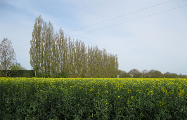
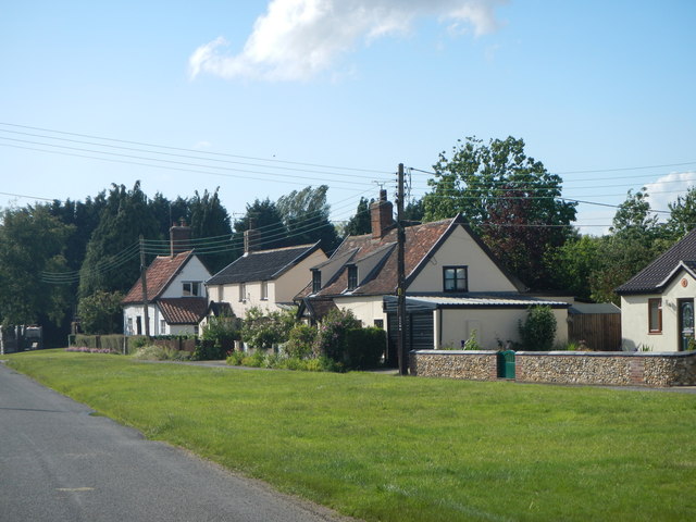
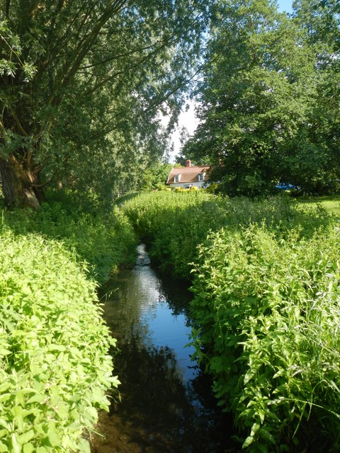
With a population of around 700 people, Beyton Green boasts a close-knit community that takes pride in preserving its rich history and heritage. The village is known for its picturesque landscapes, featuring rolling hills, lush green fields, and quaint cottages. The surrounding countryside offers ample opportunities for outdoor activities, including walking, cycling, and horse riding.
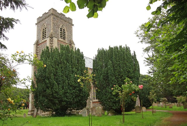
Beyton Green is home to a number of notable landmarks, including the Grade I listed church of St. Mary the Virgin, which dates back to the 14th century. This stunning church features intricate stained glass windows and a beautiful medieval tower, providing a glimpse into the village's past. The village also boasts a village hall, a primary school, and a pub that serves as a hub for social gatherings.
Residents of Beyton Green enjoy a peaceful and idyllic lifestyle, with a range of amenities within easy reach. Nearby towns offer a variety of shops, restaurants, and cultural attractions, while the stunning Suffolk coastline is just a short drive away. Beyton Green truly embodies the charm and tranquility of rural Suffolk, making it a delightful place to visit or call home.
If you have any feedback on the listing, please let us know in the comments section below.
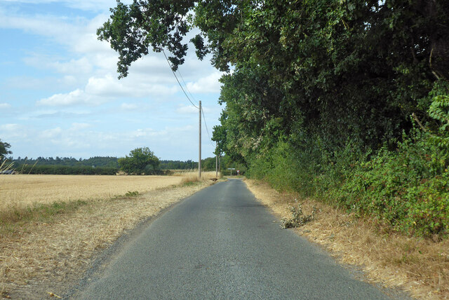
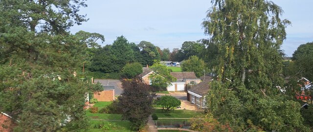
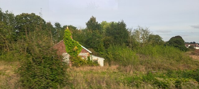
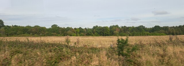
Beyton Green Images
Images are sourced within 2km of 52.235025/0.831584 or Grid Reference TL9363. Thanks to Geograph Open Source API. All images are credited.


Beyton Green is located at Grid Ref: TL9363 (Lat: 52.235025, Lng: 0.831584)
Administrative County: Suffolk
District: Mid Suffolk
Police Authority: Suffolk
What 3 Words
///intro.sleepless.fishery. Near Thurston, Suffolk
Nearby Locations
Related Wikis

Beyton
Beyton is a village and civil parish in the Mid Suffolk district of the English county of Suffolk. The village is around 8 miles (13 km) east of Bury St...

Thurston, Suffolk
Thurston is a village and a parish in Suffolk situated about 4 miles (6 km) east of Bury St Edmunds and 10 miles (16 km) west of Stowmarket. In mid-2005...

Black Bourn Valley
Black Bourn Valley, formerly called Grove Farm, is an 88 hectare nature reserve between Thurston and Elmswell in Suffolk. It is managed by the Suffolk...

Hessett
Hessett is a village and civil parish in the Mid Suffolk district of Suffolk in eastern England. Hessett is located around four miles south east of Bury...
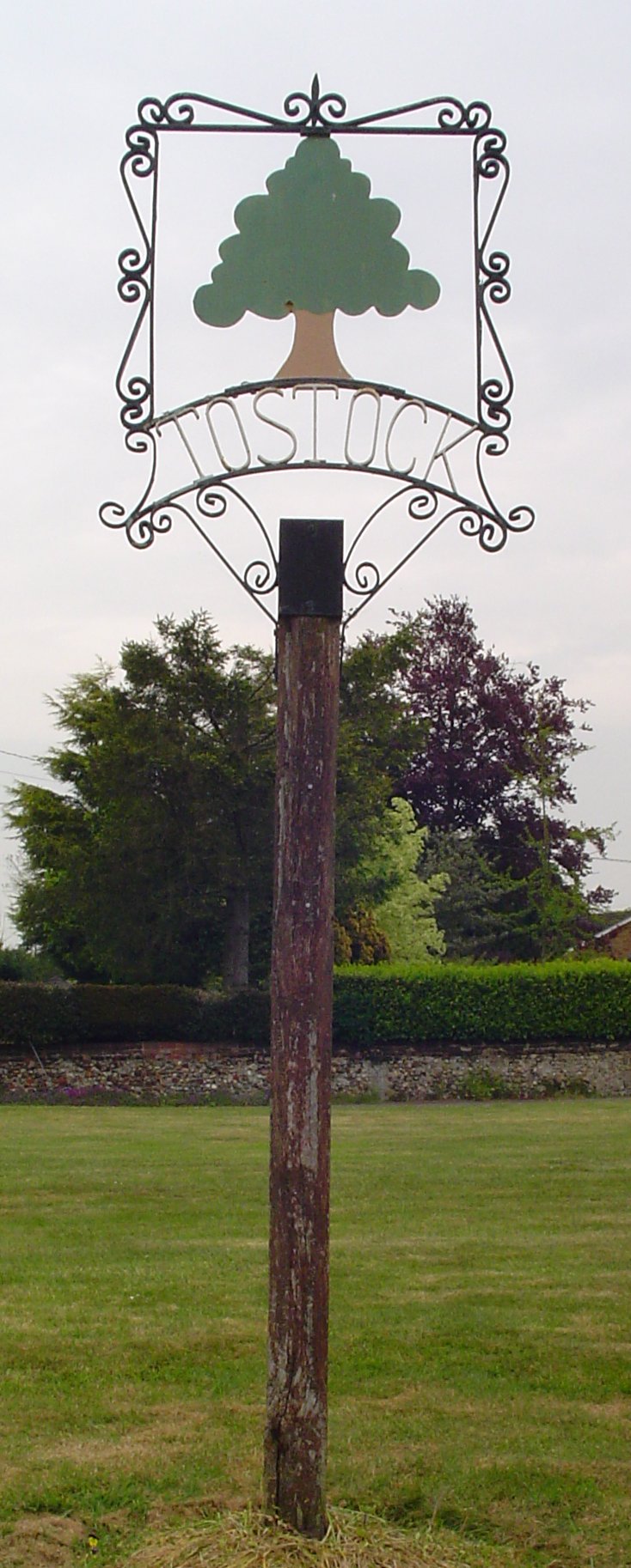
Tostock
Tostock is a small village around eight miles east of Bury St. Edmunds in the county of Suffolk. It is a very traditional Suffolk village, with a good...

Tostock Park
During the Second World War Tostock Park was a sub-station of the United States Army Air Force, located in Tostock, near Bury St Edmunds, Suffolk. It was...
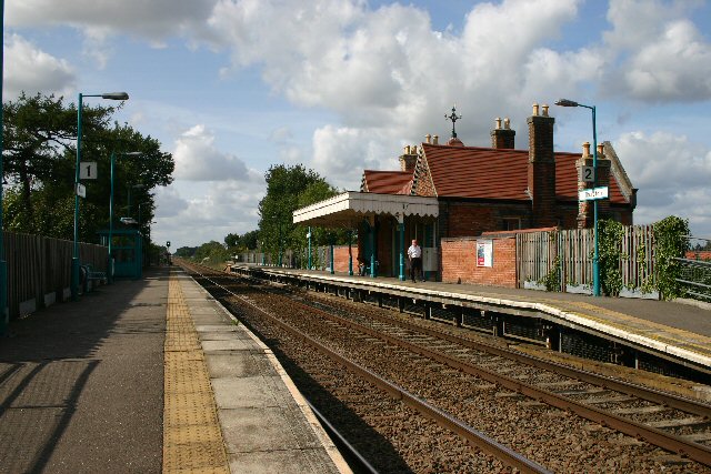
Thurston railway station
Thurston railway station serves the village of Thurston in Suffolk, England. The station, and all trains serving it, are operated by Greater Anglia. It...

Rougham, Suffolk
Rougham is a village and former civil parish 19 miles (31 km) north west of Ipswich, now in the parish of Rushbrooke with Rougham, in the West Suffolk...
Nearby Amenities
Located within 500m of 52.235025,0.831584Have you been to Beyton Green?
Leave your review of Beyton Green below (or comments, questions and feedback).