Conchers Wood
Wood, Forest in Kent Swale
England
Conchers Wood
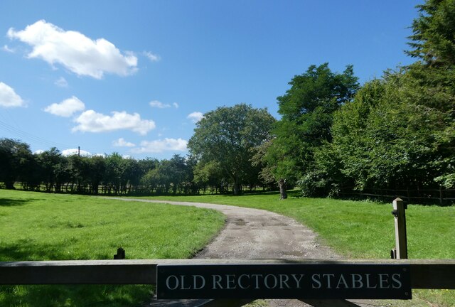
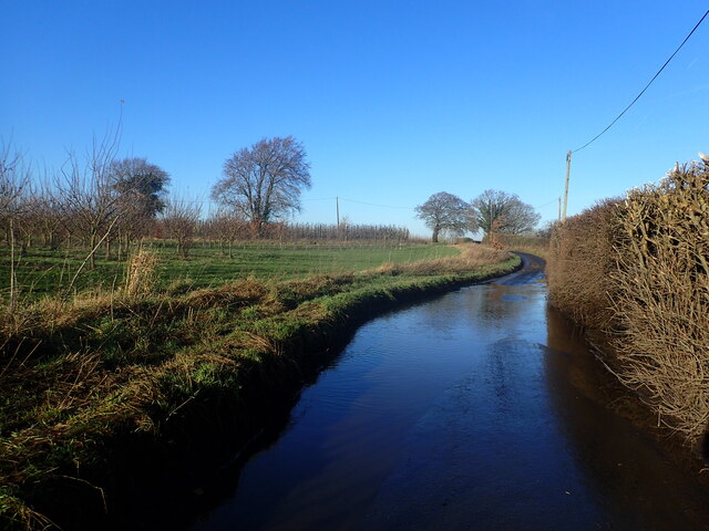
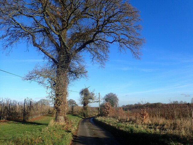
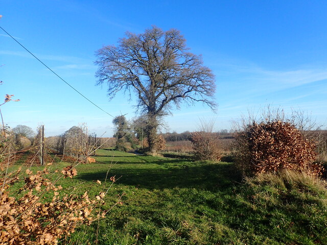
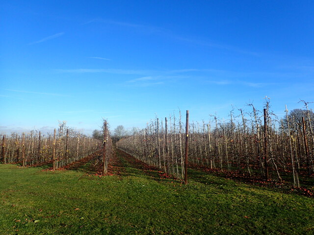
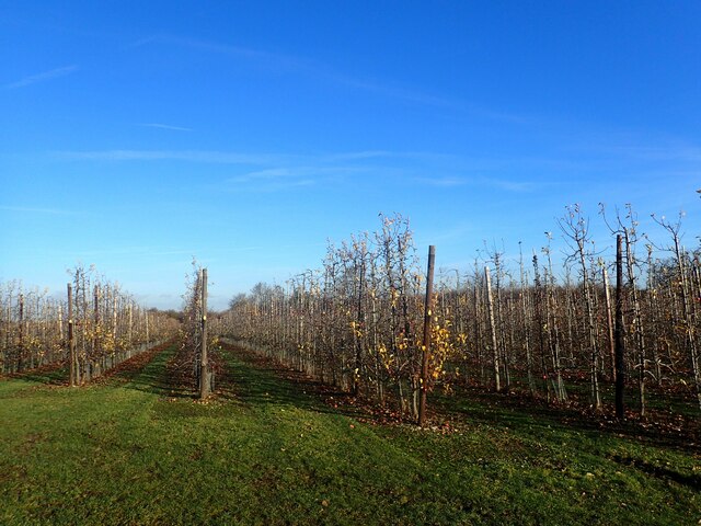
Conkers Wood, located in Kent, England, is a picturesque forest that offers a serene escape from the bustling city life. Spanning across a vast area, this wood is known for its diverse flora and fauna, making it a popular destination for nature enthusiasts and wildlife lovers alike.
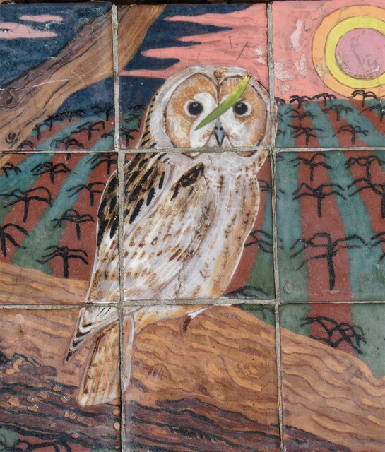
The wood is primarily composed of deciduous trees, including oak, beech, and chestnut, which provide a vibrant display of colors throughout the year. These trees also create a dense canopy, offering shade and shelter to a variety of woodland creatures. Visitors can often spot squirrels, rabbits, and a plethora of bird species, making it an ideal place for birdwatching.
Traversing the wood, visitors will come across well-maintained walking trails, allowing them to explore the area at their own pace. These trails wind through the woodland, offering glimpses of stunning wildflowers and moss-covered logs. There are also designated picnic areas, where families and friends can enjoy a leisurely lunch while immersing themselves in the tranquillity of the surroundings.
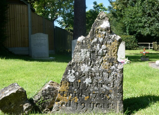
Conkers Wood is not only a haven for wildlife but also a rich historical site. Within its depths, there are remnants of ancient settlements and archaeological features, providing insight into the area's past. Visitors can learn about the wood's history through informative panels and interpretive displays located at various points along the trails.
Overall, Conkers Wood is a captivating destination that seamlessly blends natural beauty, wildlife, and history. It offers a refreshing retreat for individuals seeking solace in nature or those looking to learn and appreciate the wonders of the natural world.
If you have any feedback on the listing, please let us know in the comments section below.
Conchers Wood Images
Images are sourced within 2km of 51.299136/0.72312679 or Grid Reference TQ8959. Thanks to Geograph Open Source API. All images are credited.
Conchers Wood is located at Grid Ref: TQ8959 (Lat: 51.299136, Lng: 0.72312679)
Administrative County: Kent
District: Swale
Police Authority: Kent
What 3 Words
///long.retain.design. Near Sittingbourne, Kent
Nearby Locations
Related Wikis
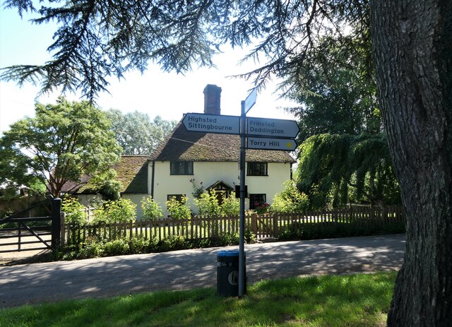
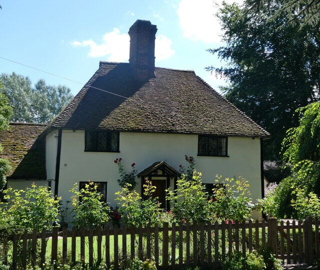
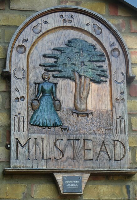
Milstead
Milstead is a village and civil parish in the borough of Swale in Kent, England. It is surrounded by the villages of Frinsted, Wichling, Doddington and...

Bexon
Bexon is a village in Kent, England, situated North of the parishes of Frinsted and Bicknor, just south of the M2 motorway. Bexon is also the name of...

Cromers Wood
Cromers Wood is a 28-hectare (69-acre) nature reserve between Milstead and Sittingbourne in Kent. It is managed by Kent Wildlife Trust.This ancient semi...
Dungate
Dungate is a village near the M2 motorway, in the Swale district, in the English county of Kent. It is near the town of Sittingbourne. == References... ==
Sittingbourne Community F.C.
Sittingbourne Community F.C. is an English football club located in Sittingbourne, in Kent. The club plays in the Kent County Football League Division...
Woodstock Sports F.C.
Woodstock Sports Football Club was an English football team based in Sittingbourne, Kent, last played in the Southern Counties East League. During the...

Frinsted
Frinsted or Frinstead is a small village and civil parish in the ecclesiastical parish of Wormshill and in the Maidstone District of Kent, England. and...

Bredgar
Bredgar is a village and civil parish in the Borough of Swale, Kent, England. == Location == The village lies to the southwest of Sittingbourne on the...
Nearby Amenities
Located within 500m of 51.299136,0.72312679Have you been to Conchers Wood?
Leave your review of Conchers Wood below (or comments, questions and feedback).