Ponbey Wood
Wood, Forest in Kent Ashford
England
Ponbey Wood
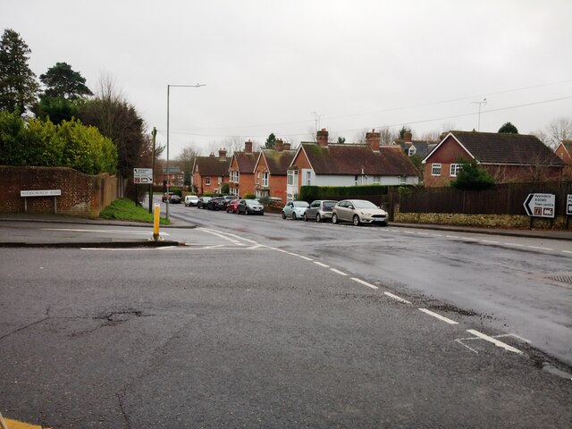
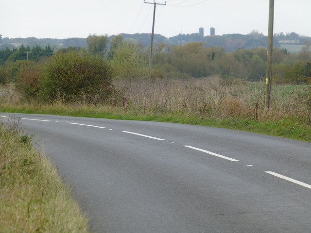
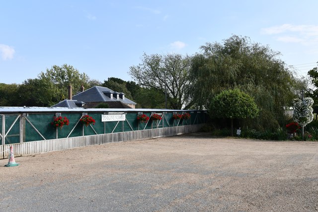
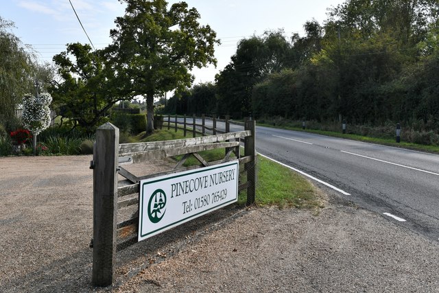
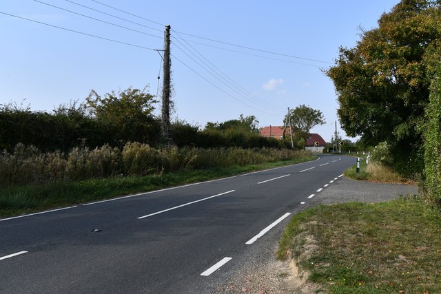
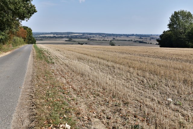
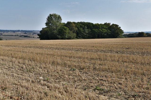
Ponbey Wood is a picturesque woodland located in the county of Kent, England. Covering an area of approximately 50 acres, it is nestled in the heart of the Kent Downs, an Area of Outstanding Natural Beauty. The wood is easily accessible by foot or by car, with a designated parking area nearby.
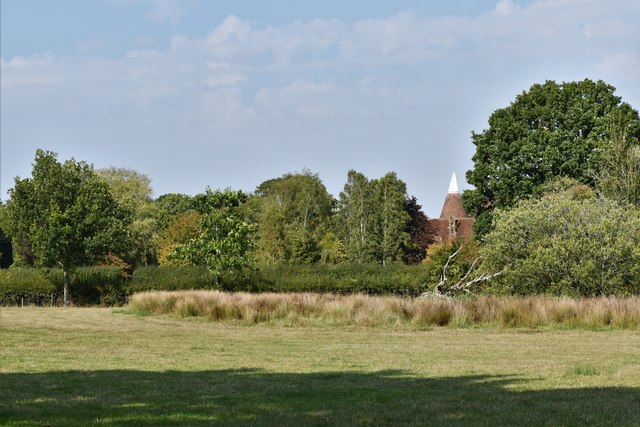
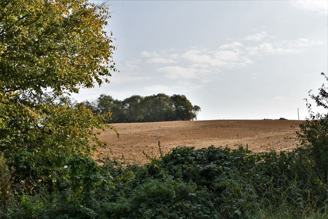
The woodland is characterized by its diverse range of tree species, including oak, beech, ash, and birch. These trees create a dense canopy that provides shade and shelter for a variety of wildlife. Ponbey Wood is particularly known for its abundance of bird species, such as woodpeckers, owls, and thrushes, making it a haven for birdwatchers and nature enthusiasts.
The forest floor is carpeted with a rich tapestry of wildflowers and ferns, which add to the natural beauty of the wood. Visitors can explore the well-maintained network of footpaths that wind through the wood, allowing them to immerse themselves in the tranquil surroundings.
Ponbey Wood is also home to a number of small streams and ponds, which further enhance its natural appeal. These bodies of water attract a variety of aquatic life, including frogs, newts, and dragonflies.
In addition to its natural beauty, Ponbey Wood offers recreational opportunities for visitors. There are designated picnic areas and benches scattered throughout the wood, providing a perfect spot for a leisurely lunch or a moment of quiet reflection.
Overall, Ponbey Wood is a stunning example of a Kentish woodland, offering a peaceful retreat for those seeking solace in nature's embrace.
If you have any feedback on the listing, please let us know in the comments section below.
Ponbey Wood Images
Images are sourced within 2km of 51.056377/0.70876861 or Grid Reference TQ8932. Thanks to Geograph Open Source API. All images are credited.


Ponbey Wood is located at Grid Ref: TQ8932 (Lat: 51.056377, Lng: 0.70876861)
Administrative County: Kent
District: Ashford
Police Authority: Kent
What 3 Words
///sampled.unlocking.scrapping. Near Tenterden, Kent
Nearby Locations
Related Wikis

Leigh Green
Leigh Green is a hamlet 2 miles (3 km) southeast of the town of Tenterden in Kent, England .
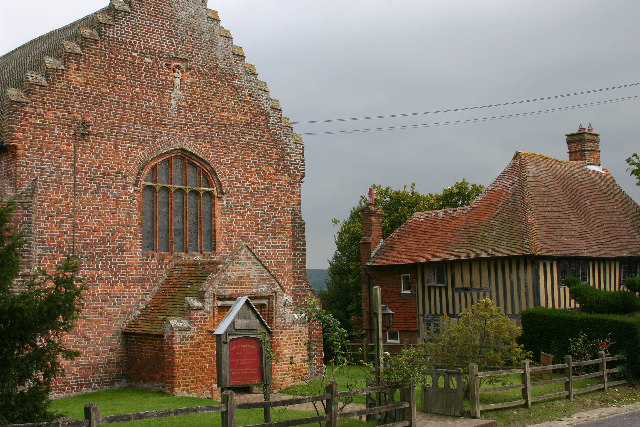
Small Hythe
Small Hythe (or Smallhythe) is a hamlet near Tenterden in Kent, England. The population is included in Tenterden. It stood on a branch of the Rother estuary...

Chapel Down
Chapel Down based in Tenterden in Kent, is an English vineyard and winemaker. It is the largest producer of English wine, with over 950 acres under vine...
Tenterden
Tenterden is a town and civil parish in the Borough of Ashford in Kent, England. In 2021 the parish had a population of 8,186. == Geography == It is connected...

Tenterden Town Hall
Tenterden Town Hall is a municipal building in the High Street in Tenterden, Kent, England. The structure, which is the meeting place of Tenterden Town...
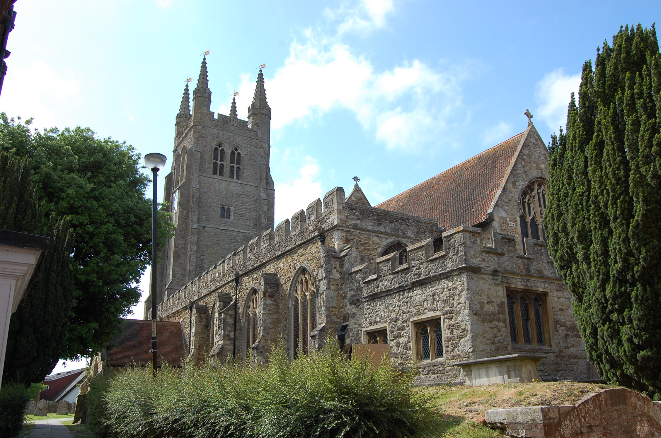
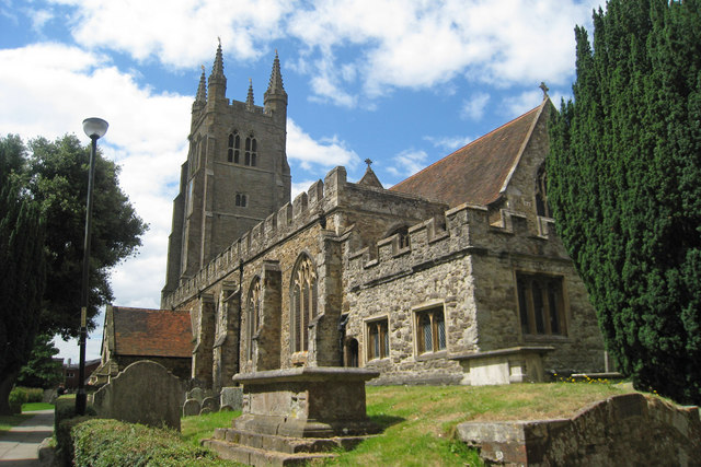
St. Mildred's Church, Tenterden
St. Mildred's Church is an Anglican church located in Tenterden in the borough of Ashford in Kent, England. The church dates from about the 12th century...

Smallhythe Place
Smallhythe Place in Small Hythe, near Tenterden in Kent, is a half-timbered house built in the late 15th or early 16th century and since 1947 cared for...
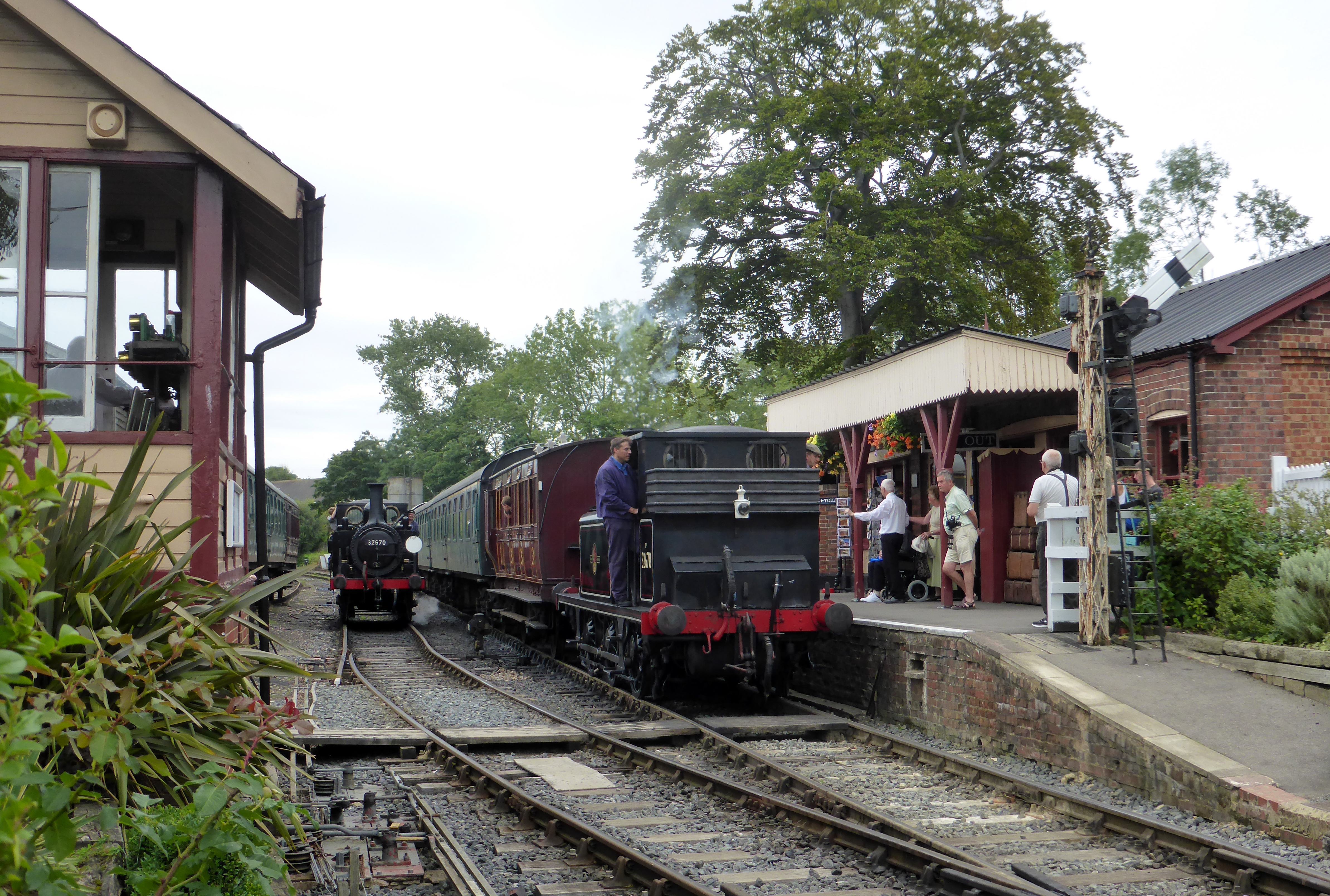
Tenterden Town railway station
Tenterden Town railway station is a heritage railway station on the Kent and East Sussex Railway in Tenterden, Kent, England. When the railway line first...
Nearby Amenities
Located within 500m of 51.056377,0.70876861Have you been to Ponbey Wood?
Leave your review of Ponbey Wood below (or comments, questions and feedback).