Little Model Wood

Wood, Forest in Norfolk North Norfolk

England

Little Model Wood

Raynhall Hall and Park View across Raynham Park, which today is arable land to Raynham Hall
Raynhall Hall and Park Credit: Philip Halling

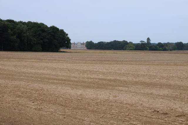
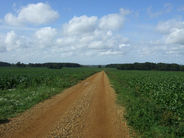
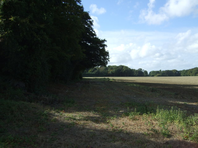
Little Model Wood is a small forest located in Norfolk, England. It covers an area of approximately 10 acres and is known for its diverse range of flora and fauna. The wood is part of the larger Norfolk Broads National Park, which is famous for its wetland habitats and scenic landscapes.

The woodland is characterized by a mixture of deciduous and coniferous trees, including oak, birch, pine, and beech. These trees provide a rich and varied habitat for a wide range of wildlife. Visitors to the wood can expect to see an array of bird species, such as woodpeckers, owls, and various songbirds. Mammals such as deer, rabbits, and squirrels are also commonly spotted within the forest.

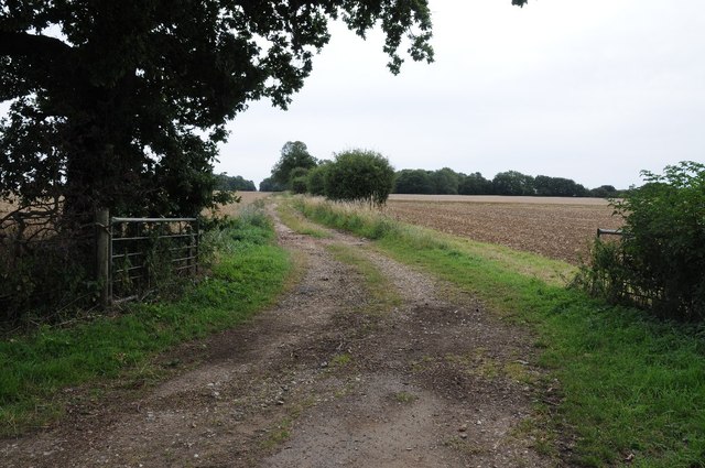
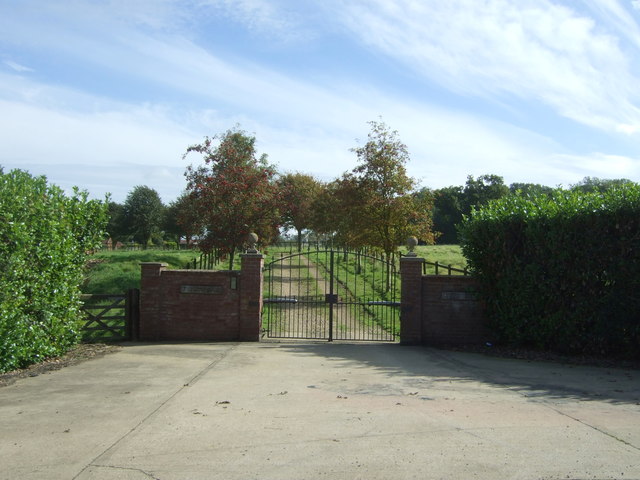
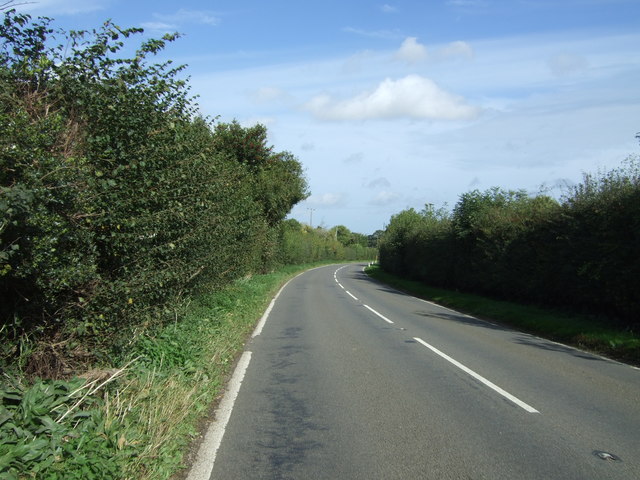
Little Model Wood offers several walking trails that allow visitors to explore the natural beauty of the area. These well-maintained paths meander through the forest, providing breathtaking views of the surrounding countryside. The wood is particularly popular with nature enthusiasts, photographers, and families looking for a peaceful retreat away from the hustle and bustle of city life.

In addition to its natural beauty, Little Model Wood also has historical significance. The wood is believed to have been in existence for hundreds of years and has witnessed various human activities throughout its history. It is a site of archaeological interest, with evidence of human settlements dating back to the Iron Age.

Overall, Little Model Wood is a picturesque and ecologically important forest, offering visitors a chance to experience the tranquility and beauty of the Norfolk countryside.

If you have any feedback on the listing, please let us know in the comments section below.

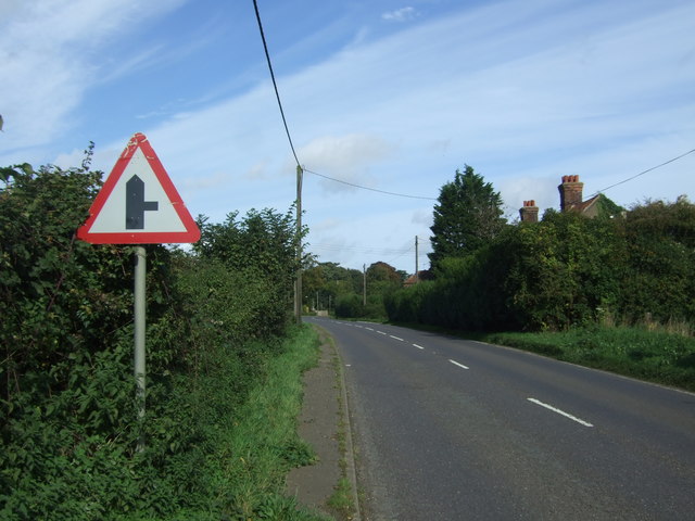
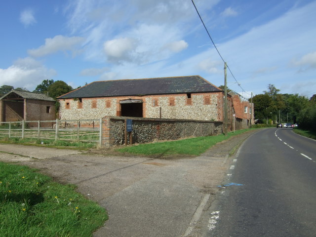
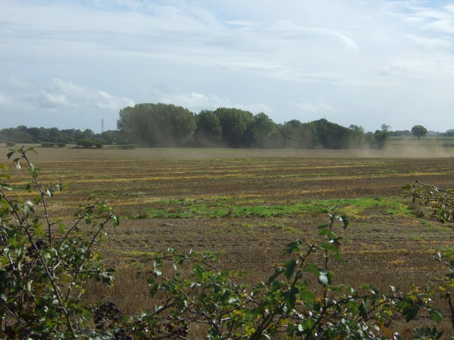
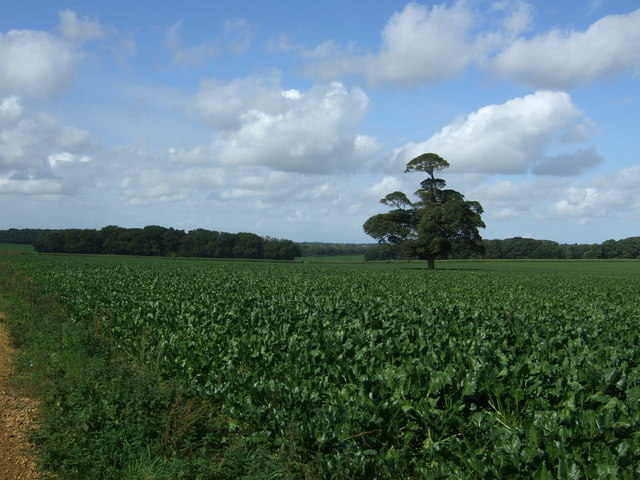
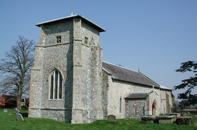
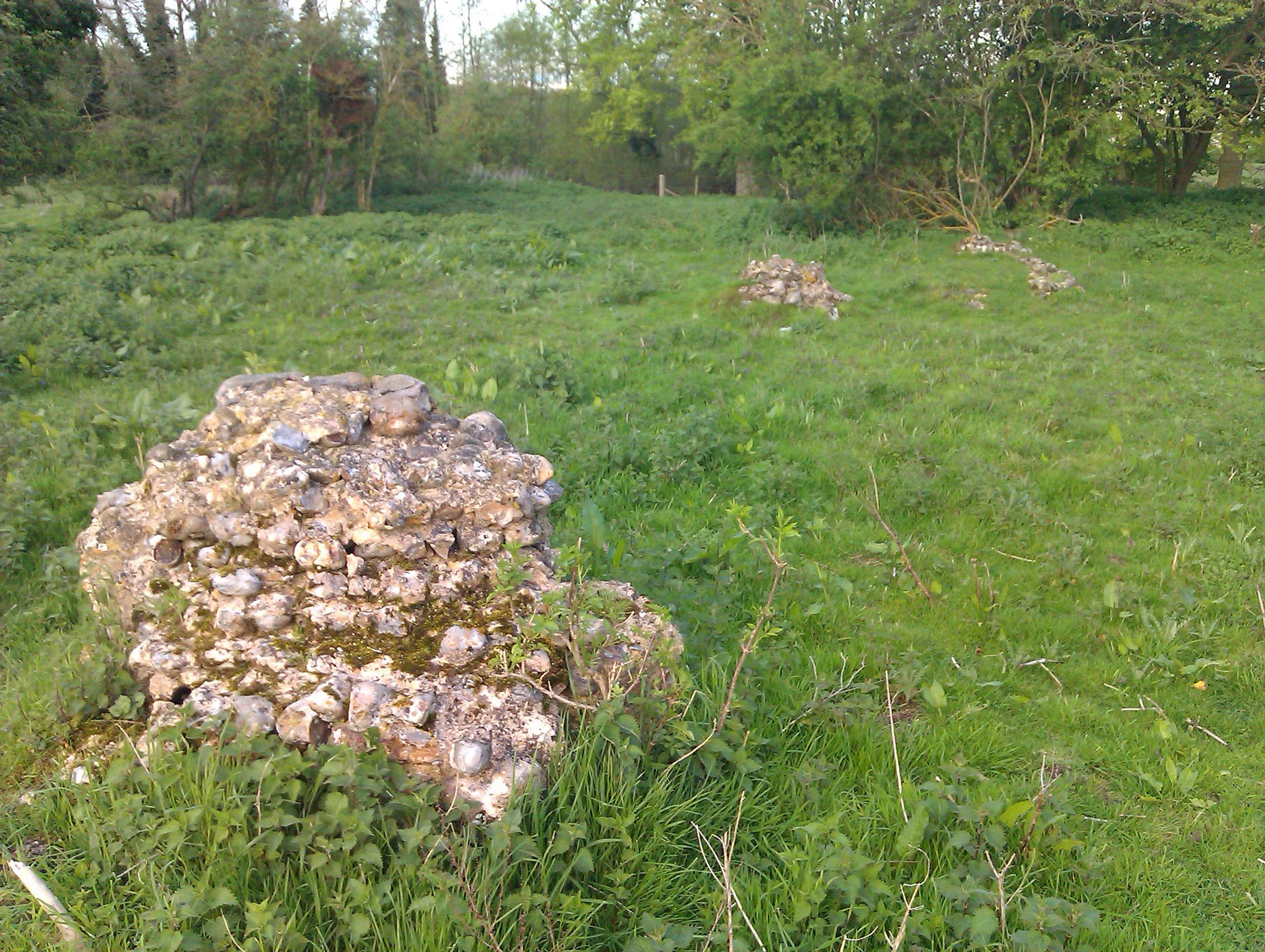
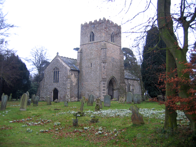
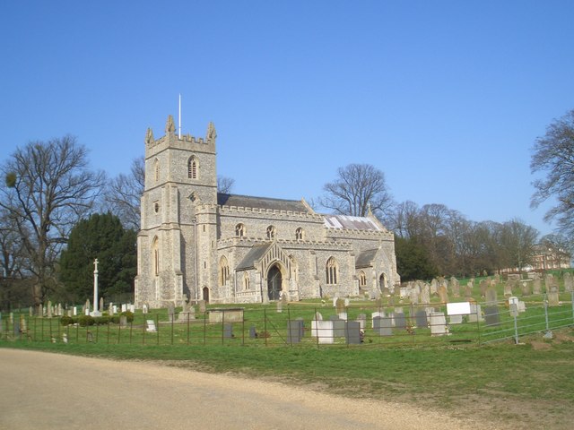
Little Model Wood Images

Images are sourced within 2km of 52.806276/0.81641778 or Grid Reference TF8926. Thanks to Geograph Open Source API. All images are credited.

Raynhall Hall and Park View across Raynham Park, which today is arable land to Raynham Hall
Raynhall Hall and Park
View across Raynham Park, which today is arable land to Raynham Hall
Farmland track Farmland track leading off the A1065 near Raynham.
Farmland track
Farmland track leading off the A1065 near Raynham.
A1065 Through East Raynham Old sign at the side of the A1065 as it approaches East Raynham, a village approximately 4 miles south-west of Fakenham. The village can trace its origins back and before the Domesday survey of 1086 when it was known as Reinham <span class="nowrap"><a title="http://opendomesday.org/place/XX0000/east-and-west-raynham/" rel="nofollow ugc noopener" href="http://opendomesday.org/place/XX0000/east-and-west-raynham/">Link</a><img style="margin-left:2px;" alt="External link" title="External link - shift click to open in new window" src="https://s1.geograph.org.uk/img/external.png" width="10" height="10"/></span> .
A1065 Through East Raynham
Old sign at the side of the A1065 as it approaches East Raynham, a village approximately 4 miles south-west of Fakenham. The village can trace its origins back and before the Domesday survey of 1086 when it was known as Reinham LinkExternal link .
Tanker on the A1065 near to East Raynham The A1065 is an important route through the centre of Norfolk. It starts on the infamous Five Ways roundabout at Barton Mills, leaving the A11, and heads up through countryside for nearly 40 miles, crossing the A47 at Swaffham en route, until it ends on the A148 just outside Fakenham.
Tanker on the A1065 near to East Raynham
The A1065 is an important route through the centre of Norfolk. It starts on the infamous Five Ways roundabout at Barton Mills, leaving the A11, and heads up through countryside for nearly 40 miles, crossing the A47 at Swaffham en route, until it ends on the A148 just outside Fakenham.
A1065, Toftrees The A1065 is an important route through the centre of Norfolk. It starts on the infamous Five Ways roundabout at Barton Mills, leaving the A11, and heads up through countryside for nearly 40 miles, crossing the A47 at Swaffham en route, until it ends on the A148 just outside Fakenham.
A1065, Toftrees
The A1065 is an important route through the centre of Norfolk. It starts on the infamous Five Ways roundabout at Barton Mills, leaving the A11, and heads up through countryside for nearly 40 miles, crossing the A47 at Swaffham en route, until it ends on the A148 just outside Fakenham.
A1065, East Raynham Looking north.
A1065, East Raynham
Looking north.
Stone Barn, East Raynham
Stubble field near Hall Farm
A1065, East Raynham Looking north east.
A1065, East Raynham
Looking north east.
Crop field, Raynham Park Looking towards V Plantation.
Crop field, Raynham Park
Looking towards V Plantation.
Track, Raynham Park Looking north west.
Track, Raynham Park
Looking north west.
Crop field towards Lady Ferrers' Wood Off the A1065.
Crop field towards Lady Ferrers' Wood
Off the A1065.
Looking north east on the A1065 Towards Fakenham.
Looking north east on the A1065
Towards Fakenham.
Farmland beside woodland near Toftrees
Field near Toftrees Off the A1065.
Field near Toftrees
Off the A1065.
Gated drive to Canister Hall
Bend in the A1065 towards Fakenham Looking north east.
Bend in the A1065 towards Fakenham
Looking north east.
Approaching Toftrees Looking north east on the A1065.
Approaching Toftrees
Looking north east on the A1065.
Show me another place!

Little Model Wood is located at Grid Ref: TF8926 (Lat: 52.806276, Lng: 0.81641778)

Administrative County: Norfolk

District: North Norfolk

Police Authority: Norfolk

What 3 Words

///machinery.budgeted.battle. Near Fakenham, Norfolk

Related Wikis

Beacon Hill, Colkirk, Norfolk

Beacon Hill, Colkirk, Norfolk is a high point, once the site of a beacon forming part of a chain from the North Norfolk Coast to London. The approximate...

Toftrees

Toftrees is a village and former civil parish, now in the parish of Dunton, in the North Norfolk district, in the county of Norfolk, England. The hamlet...

Hempton

Hempton is a village and a civil parish in the English county of Norfolk. The village is 0.8 miles (1.3 km) south west of Fakenham, 33.9 miles (54.6 km...

Hempton Priory

Hempton Priory was a medieval monastery at Hempton in Norfolk, England, variously referred to also as Fakenham or Damsend Priory. Of the buildings of...

Colkirk

Colkirk is a village (population 2001-547[1]) situated about two miles south of Fakenham in the county of Norfolk, England. Dating from at least the time...

East Raynham

East Raynham is a village and former civil parish, now in the parish of Raynham, in the North Norfolk district, in the county of Norfolk, England. It is...

Raynham Hall

Raynham Hall is a country house in Norfolk, England. For nearly 400 years it has been the seat of the Townshend family. The hall gave its name to the five...

Brown Lady of Raynham Hall

The Brown Lady of Raynham Hall is a ghost that reportedly haunts Raynham Hall in Norfolk, England. It became one of the most famous hauntings in the United...

Nearby Amenities

Located within 500m of 52.806276,0.81641778
Power: tower
Lat/Long: 52.8034489/0.8216676
Power: tower
Lat/Long: 52.8059784/0.8218822
Power: pole
Lat/Long: 52.8041597/0.8224781
Power: pole
Lat/Long: 52.8053707/0.822629
Power: pole
Lat/Long: 52.806617/0.8227653
Power: pole
Lat/Long: 52.8078868/0.8229211
Power: tower
Lat/Long: 52.8083518/0.8222079
Location Transition: yes
Power: pole
Transformer: distribution
Lat/Long: 52.8098714/0.814029
Power: pole
Lat/Long: 52.8099962/0.813911
The data included in this document is from www.openstreetmap.org. The data is made available under ODbL.

Have you been to Little Model Wood?

Leave your review of Little Model Wood below (or comments, questions and feedback).