Road Side, New
Settlement in Yorkshire
England
Road Side, New
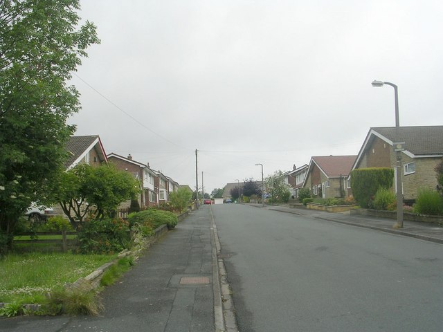
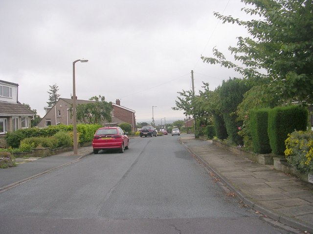
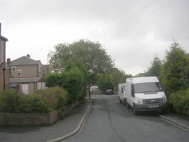
Road Side is a small village located in the county of Yorkshire, England. Situated in the northern part of the county, it is nestled amidst picturesque rolling hills and lush green countryside. The village is part of the wider district of New Yorkshire and is known for its tranquil and idyllic setting.
The population of Road Side is relatively small, with around 500 residents. The village mainly consists of charming stone cottages and traditional buildings, adding to its rustic appeal. The community is close-knit and friendly, creating a warm atmosphere that is characteristic of rural English villages.
Although Road Side is a peaceful and rural village, it benefits from its proximity to larger towns and cities. The nearest town, located just a few miles away, provides essential amenities such as grocery stores, healthcare facilities, and schools. This ensures that residents have access to all the necessary services without having to travel long distances.
The surrounding countryside offers numerous opportunities for outdoor activities. Residents and visitors can explore the extensive network of walking trails that traverse the area, enjoying breathtaking views of the countryside. Additionally, the village is within easy reach of national parks and nature reserves, providing further options for nature enthusiasts.
Road Side is also well-connected in terms of transportation. It is served by regular bus services, connecting it to nearby towns and cities. The village is located close to major road networks, making it easily accessible by car.
In conclusion, Road Side is a charming and tranquil village in New Yorkshire, offering residents and visitors a peaceful countryside lifestyle with convenient access to essential amenities and recreational opportunities.
If you have any feedback on the listing, please let us know in the comments section below.
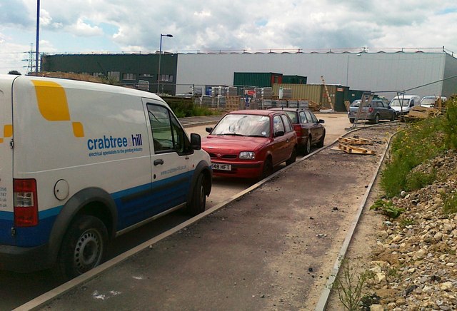
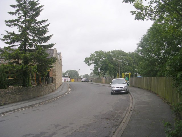
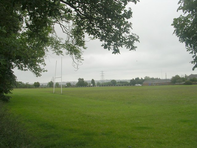
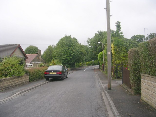
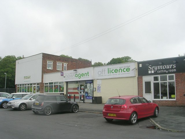
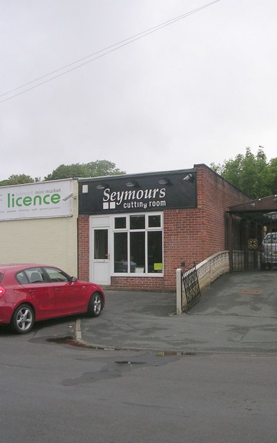
Road Side, New Images
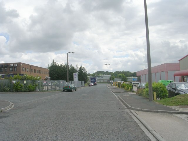
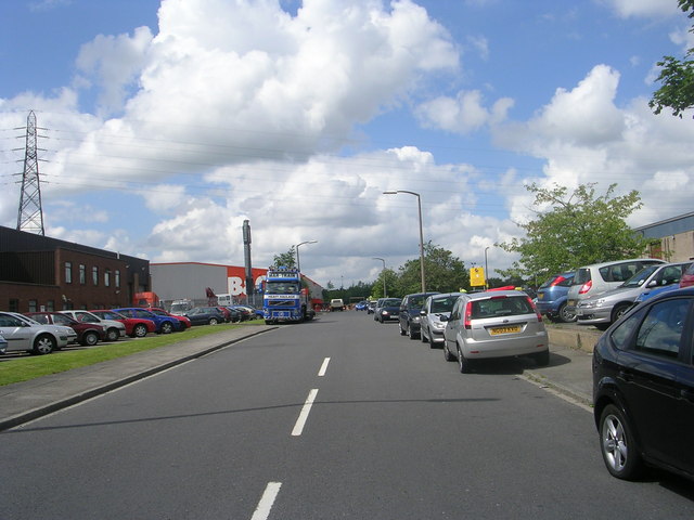
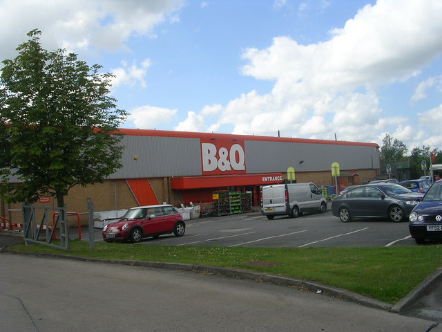
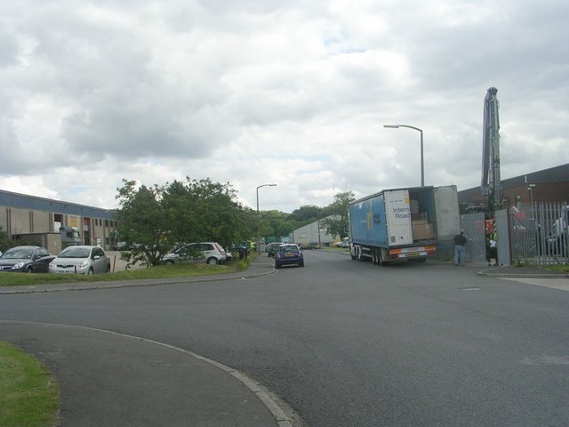
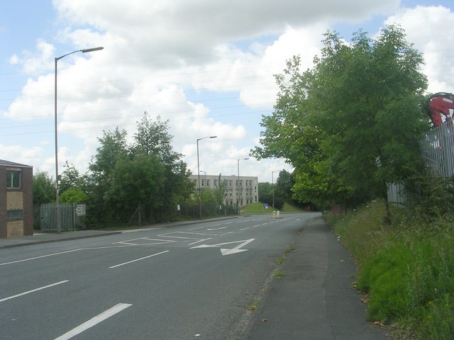
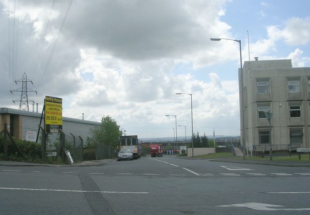
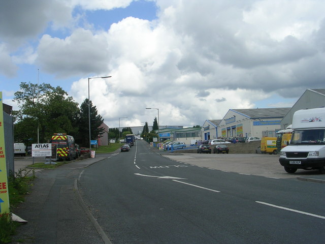
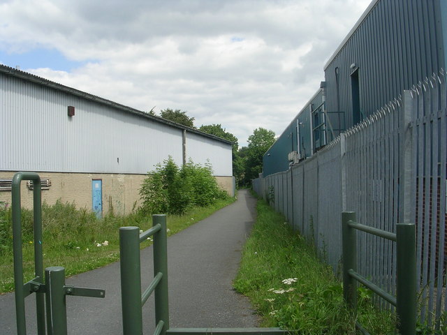
Images are sourced within 2km of 53.745704/-1.761146 or Grid Reference SE1527. Thanks to Geograph Open Source API. All images are credited.
Road Side, New is located at Grid Ref: SE1527 (Lat: 53.745704, Lng: -1.761146)
Division: West Riding
Unitary Authority: Bradford
Police Authority: West Yorkshire
What 3 Words
///bars.hype.assets. Near Cleckheaton, West Yorkshire
Nearby Locations
Related Wikis
Low Moor Explosion
The Low Moor Explosion was a fire and a series of explosions at a munitions factory in Low Moor, Bradford, West Riding of Yorkshire in August 1916. The...
Appleton Academy
Appleton Academy is a mixed all-through school for pupils aged 3 to 16. It is located in Wyke in the City of Bradford, in the English county of West Yorkshire...
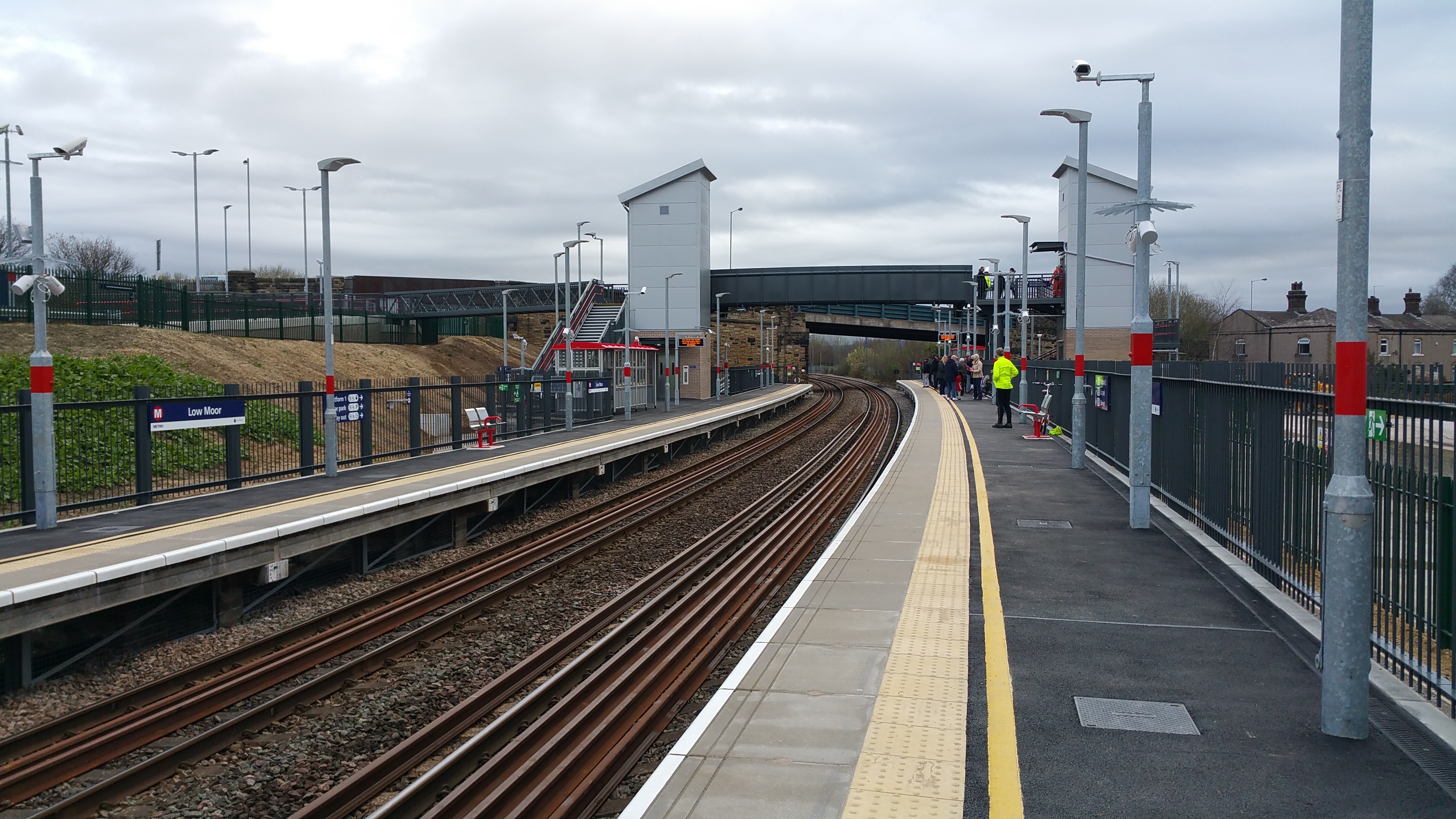
Low Moor railway station
Low Moor railway station serves the villages of Low Moor and Oakenshaw in the south of Bradford, West Yorkshire, England. The station is situated on the...
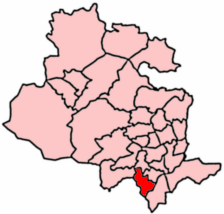
Royds, Bradford
Royds (population 16,350 - 2001 UK census) is a ward within the City of Bradford Metropolitan District Council in the county of West Yorkshire, England...
Nearby Amenities
Located within 500m of 53.745704,-1.761146Have you been to Road Side, New?
Leave your review of Road Side, New below (or comments, questions and feedback).