Common, Upper
Settlement in Yorkshire
England
Common, Upper

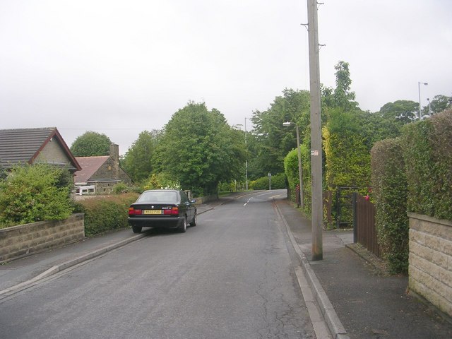
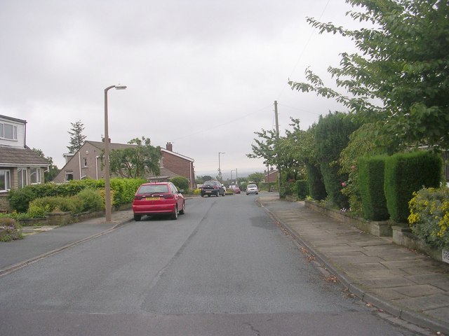
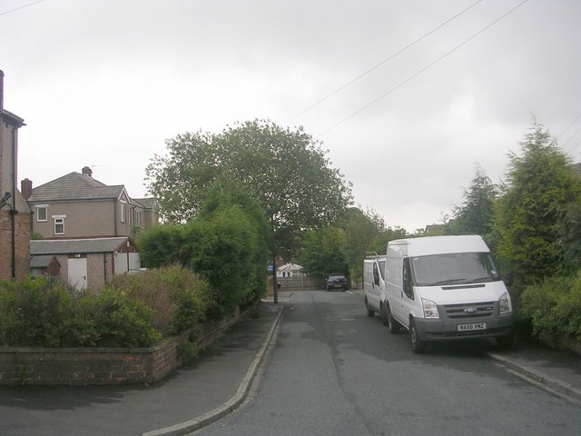
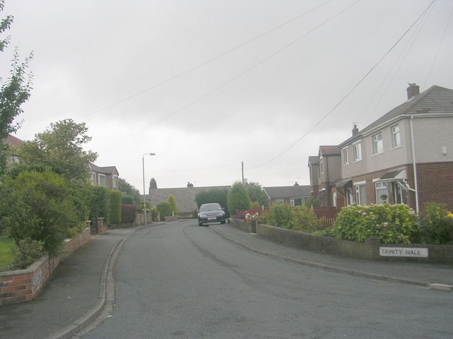
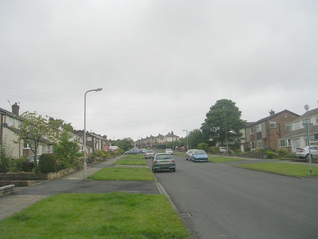
Common, Upper, Yorkshire is a small village located in the northern region of England. Situated in the picturesque county of Yorkshire, this charming village is known for its serene countryside and rich history. With a population of approximately 500 residents, Common, Upper offers a close-knit community atmosphere.
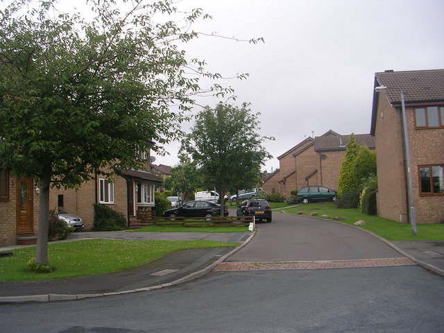
The village is surrounded by rolling hills and lush green fields, providing a stunning backdrop for its quaint stone cottages and historic buildings. The architecture in Common, Upper reflects its long history, with some structures dating back to the 17th century. The village center features a charming village green, where locals gather for community events and fairs.
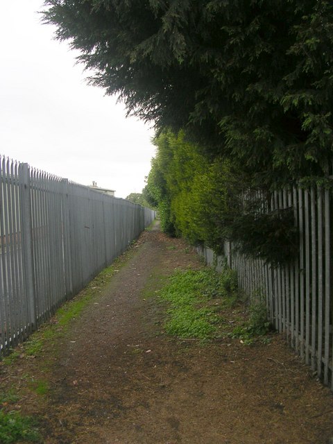
Common, Upper is also blessed with natural beauty, with several walking trails and nature reserves in close proximity. The village is nestled near the Yorkshire Dales National Park, offering residents and visitors the opportunity to explore stunning landscapes, including majestic waterfalls and scenic hiking trails.
Despite its small size, Common, Upper boasts a vibrant community spirit. The village has a local pub, where residents can gather for a drink and a chat, and a village hall, which hosts various social events throughout the year. Common, Upper also has a primary school, providing education for the local children.
Overall, Common, Upper, Yorkshire is a charming village that offers a peaceful and idyllic countryside living experience. With its rich history, natural beauty, and close-knit community, it is a place where residents can truly enjoy the beauty of rural Yorkshire.
If you have any feedback on the listing, please let us know in the comments section below.
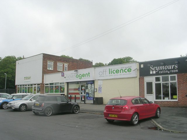
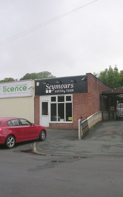
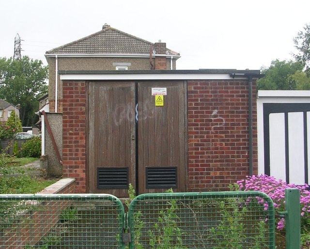
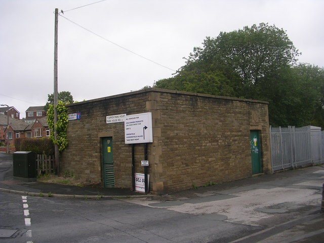
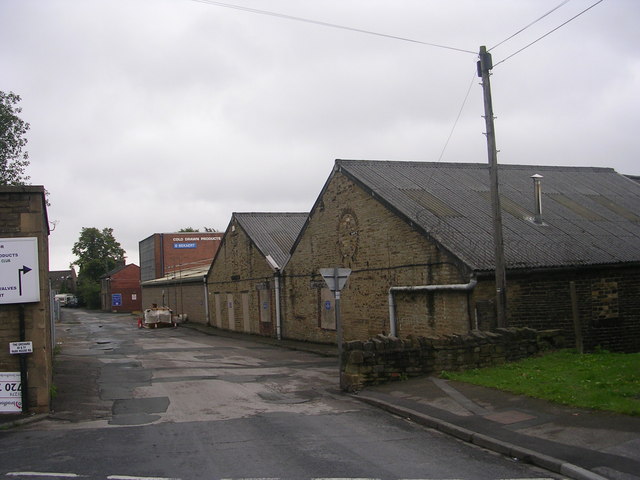
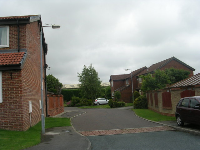
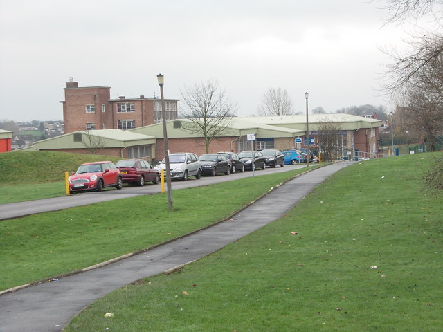
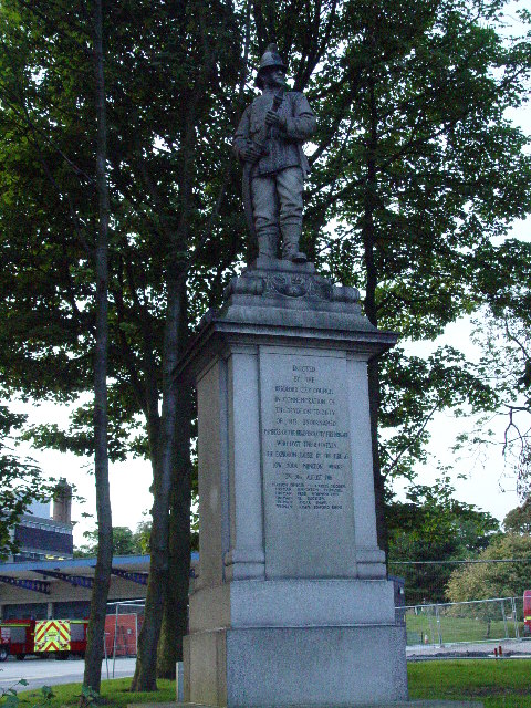
Common, Upper Images
Images are sourced within 2km of 53.743188/-1.761463 or Grid Reference SE1527. Thanks to Geograph Open Source API. All images are credited.


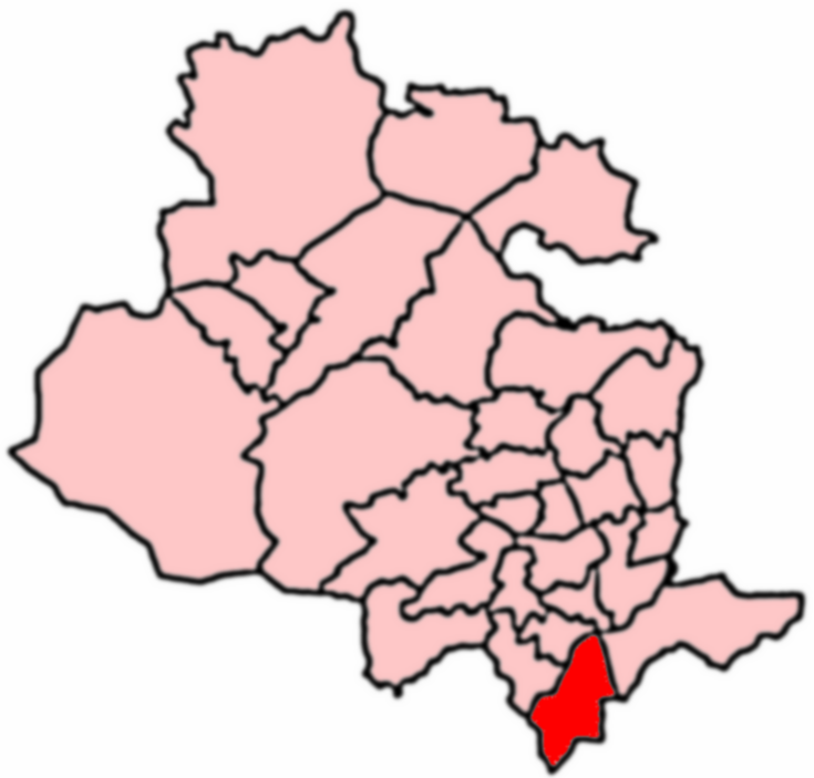
Common, Upper is located at Grid Ref: SE1527 (Lat: 53.743188, Lng: -1.761463)
Division: West Riding
Unitary Authority: Bradford
Police Authority: West Yorkshire
What 3 Words
///slime.flown.sake. Near Cleckheaton, West Yorkshire
Nearby Locations
Related Wikis
Appleton Academy
Appleton Academy is a mixed all-through school for pupils aged 3 to 16. It is located in Wyke in the City of Bradford, in the English county of West Yorkshire...
Low Moor Explosion
The Low Moor Explosion was a fire and a series of explosions at a munitions factory in Low Moor, Bradford, West Riding of Yorkshire in August 1916. The...
Wyke, Bradford
Wyke (population 14,180 – 2001 UK census) is a ward within the City of Bradford Metropolitan District Council in the county of West Yorkshire, England...
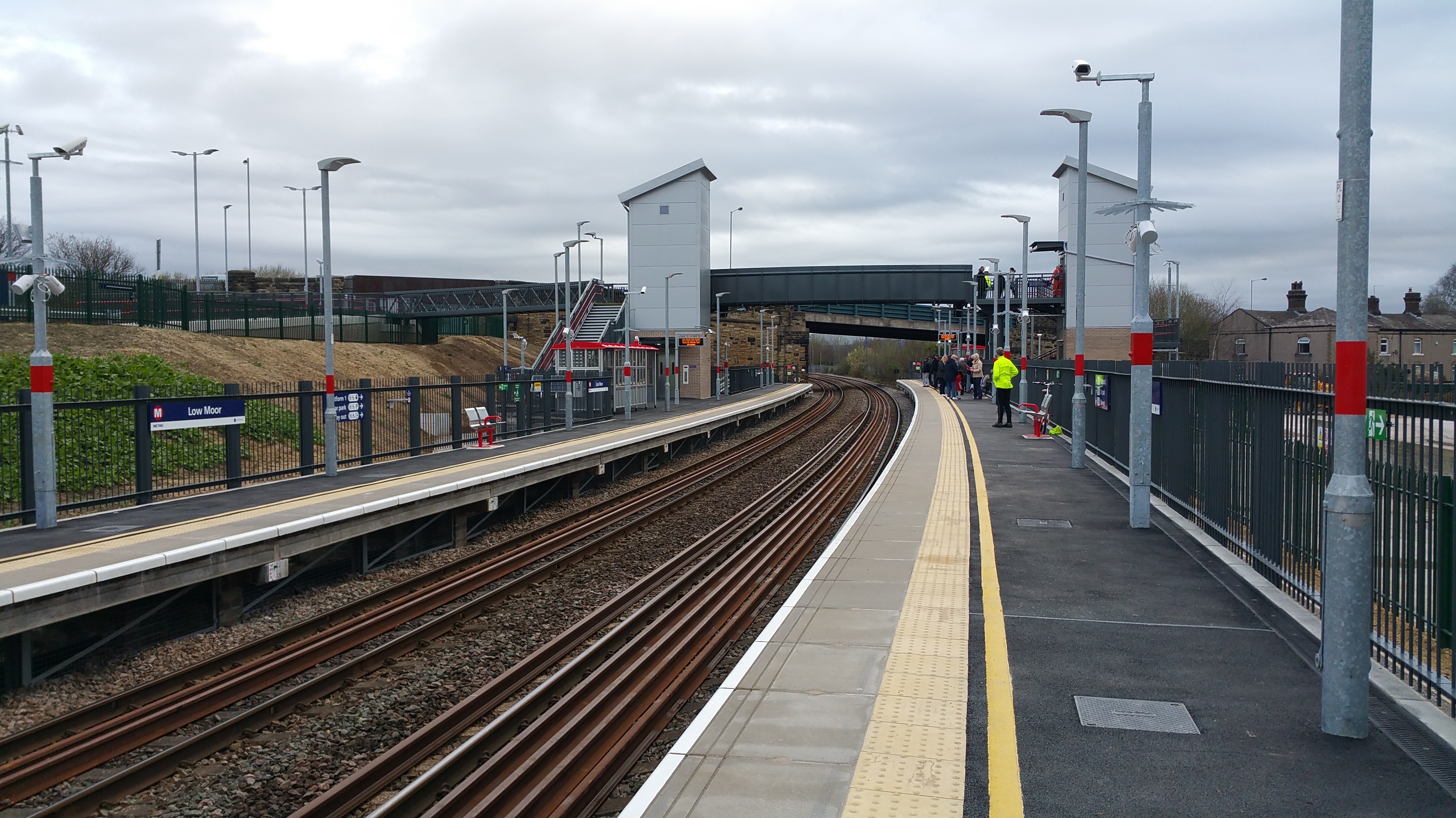
Low Moor railway station
Low Moor railway station serves the villages of Low Moor and Oakenshaw in the south of Bradford, West Yorkshire, England. The station is situated on the...
Nearby Amenities
Located within 500m of 53.743188,-1.761463Have you been to Common, Upper?
Leave your review of Common, Upper below (or comments, questions and feedback).