Upper Wyke
Settlement in Yorkshire
England
Upper Wyke
Upper Wyke is a small village located in the metropolitan borough of Calderdale, West Yorkshire, England. Situated approximately 4 miles south of Halifax, it is nestled in the picturesque hills of the Pennine range. With a population of around 1,200 residents, Upper Wyke boasts a tight-knit community that takes pride in its rural charm and natural surroundings.
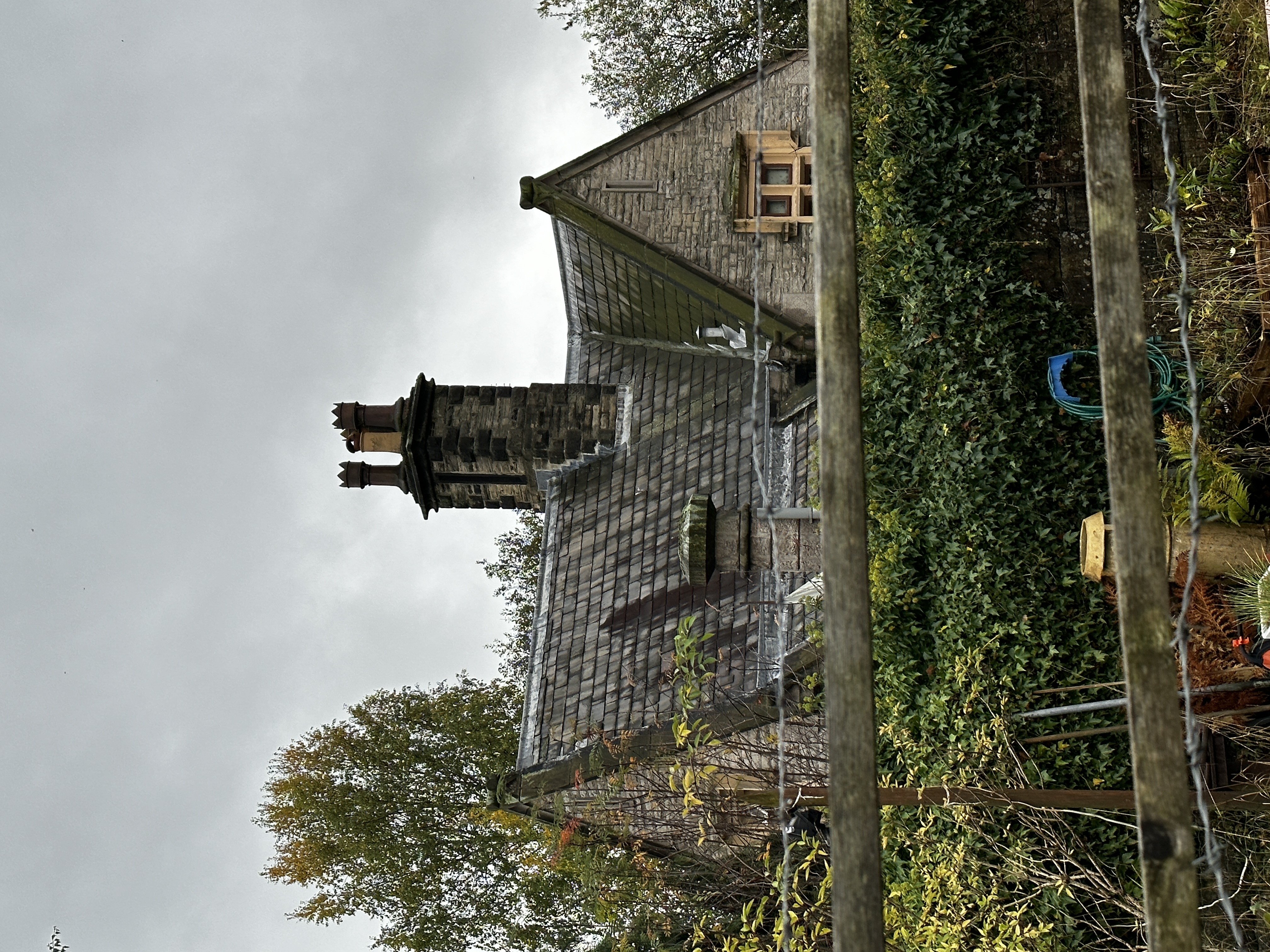
The village is characterized by its quaint stone-built cottages and historic architecture, which reflects its rich heritage dating back to the medieval period. The centerpiece of Upper Wyke is the St. John the Evangelist Church, a stunning Victorian building that stands as a testament to the village's religious history.
Surrounded by lush green fields and rolling hills, Upper Wyke offers an abundance of natural beauty and outdoor recreational opportunities. The area is a haven for hikers and nature enthusiasts, with various footpaths and trails meandering through the stunning countryside. The nearby Ogden Water reservoir is a popular destination for fishing, picnicking, and birdwatching.
Despite its rural setting, Upper Wyke benefits from its proximity to Halifax, which provides access to a range of amenities and services. The village is served by a local primary school and enjoys a vibrant community spirit, with regular events and activities organized for residents of all ages.
In conclusion, Upper Wyke is a charming village in Yorkshire that captures the essence of rural England. Its historical architecture, natural beauty, and close-knit community make it a delightful place to visit or call home.
If you have any feedback on the listing, please let us know in the comments section below.
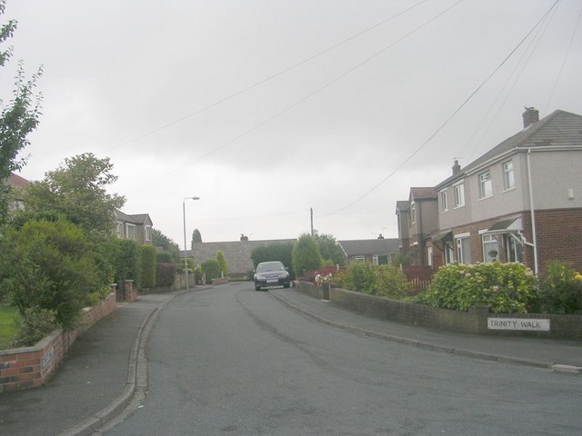
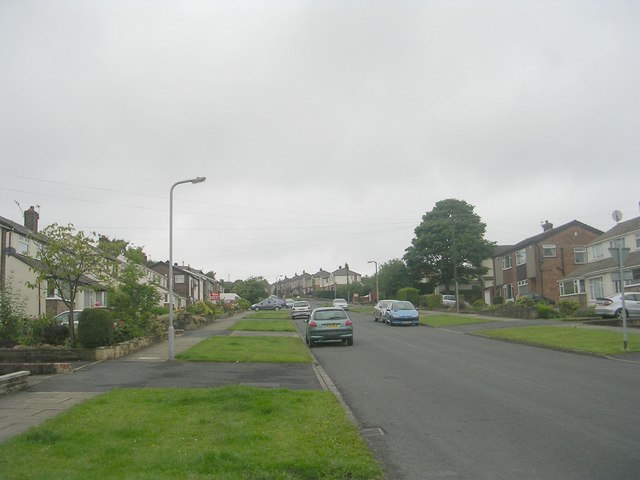
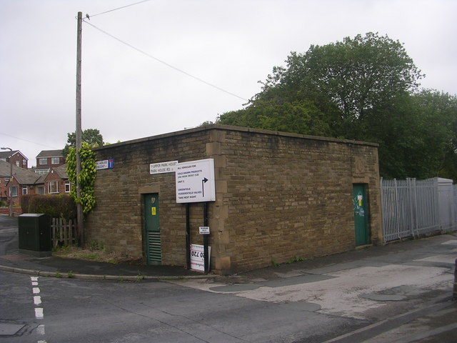
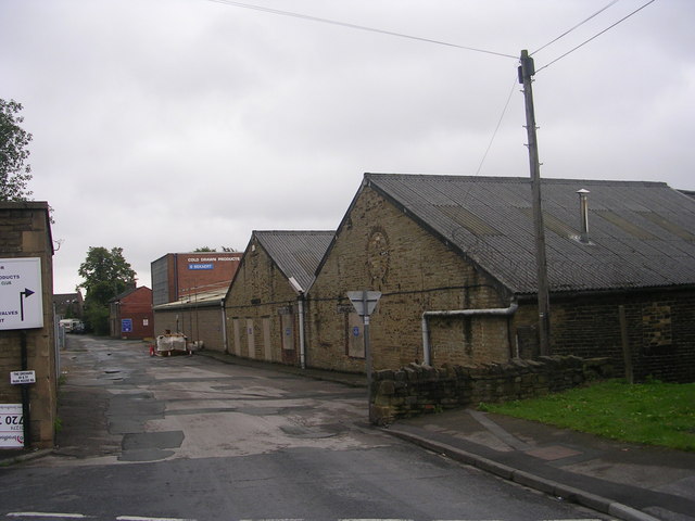
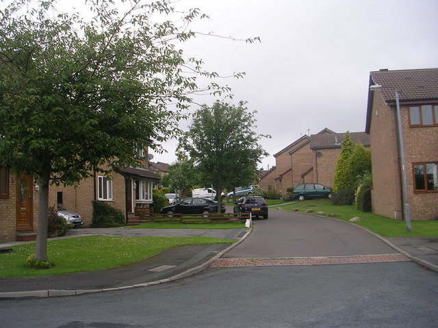
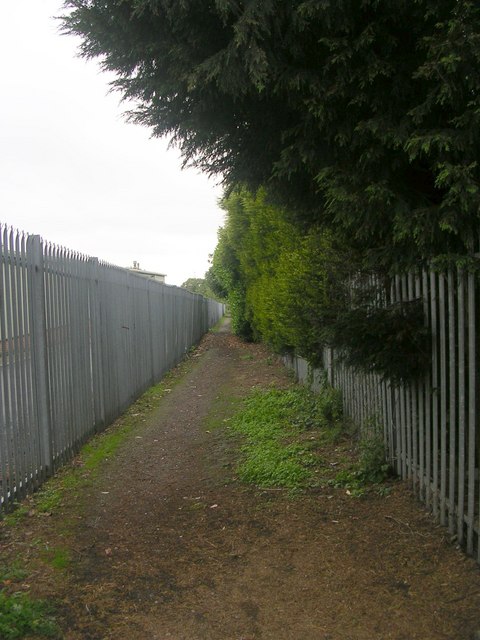
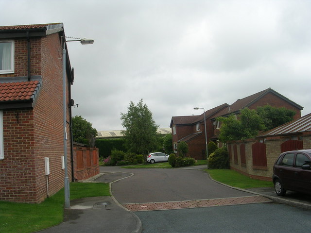
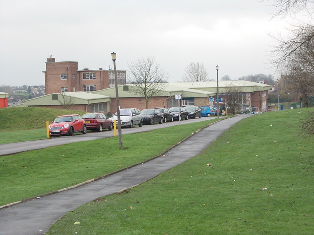
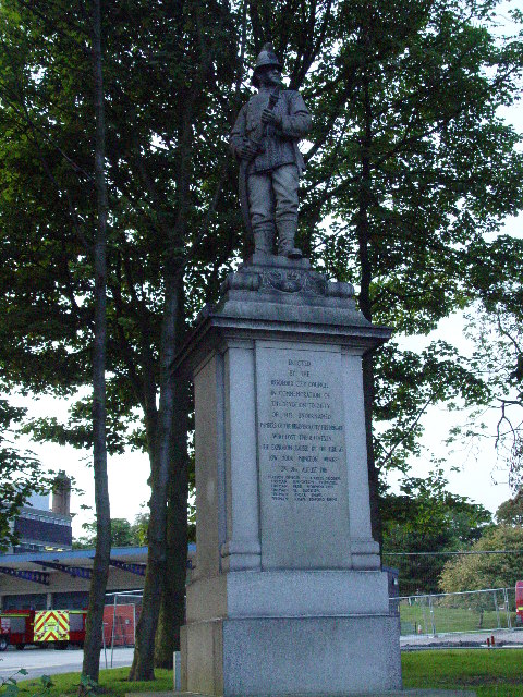
Upper Wyke Images
Images are sourced within 2km of 53.742161/-1.7676255 or Grid Reference SE1527. Thanks to Geograph Open Source API. All images are credited.


Upper Wyke is located at Grid Ref: SE1527 (Lat: 53.742161, Lng: -1.7676255)
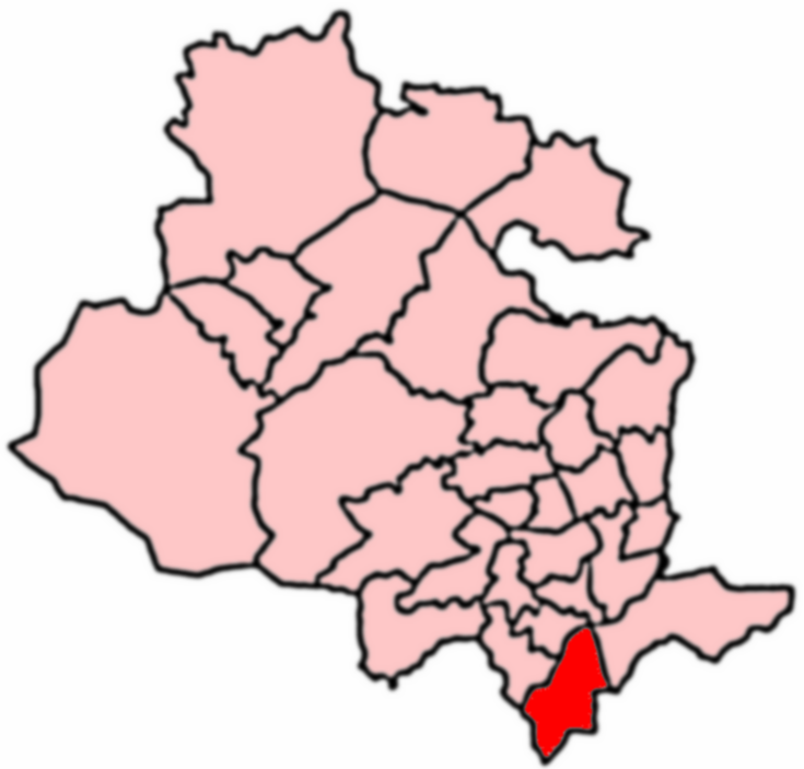
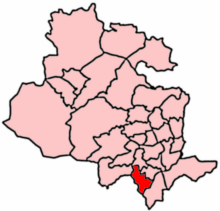
Division: West Riding
Unitary Authority: Bradford
Police Authority: West Yorkshire
What 3 Words
///gates.casual.couple. Near Clayton, West Yorkshire
Nearby Locations
Related Wikis
Appleton Academy
Appleton Academy is a mixed all-through school for pupils aged 3 to 16. It is located in Wyke in the City of Bradford, in the English county of West Yorkshire...
Wyke, Bradford
Wyke (population 14,180 – 2001 UK census) is a ward within the City of Bradford Metropolitan District Council in the county of West Yorkshire, England...
Wyke and Norwood Green railway station
Wyke and Norwood Green railway station served the villages of Wyke and Norwood Green in West Yorkshire, England. == History == Originally situated a little...
Low Moor Explosion
The Low Moor Explosion was a fire and a series of explosions at a munitions factory in Low Moor, Bradford, West Riding of Yorkshire in August 1916. The...

Low Moor, Bradford
Low Moor is a village in the metropolitan borough of the City of Bradford in West Yorkshire, England. == History == Before 1790 Low Moor was nothing but...
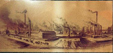
Low Moor Ironworks
The Low Moor Ironworks was a wrought iron foundry established in 1791 in the village of Low Moor about 3 miles (4.8 km) south of Bradford in Yorkshire...
Royds, Bradford
Royds (population 16,350 - 2001 UK census) is a ward within the City of Bradford Metropolitan District Council in the county of West Yorkshire, England...
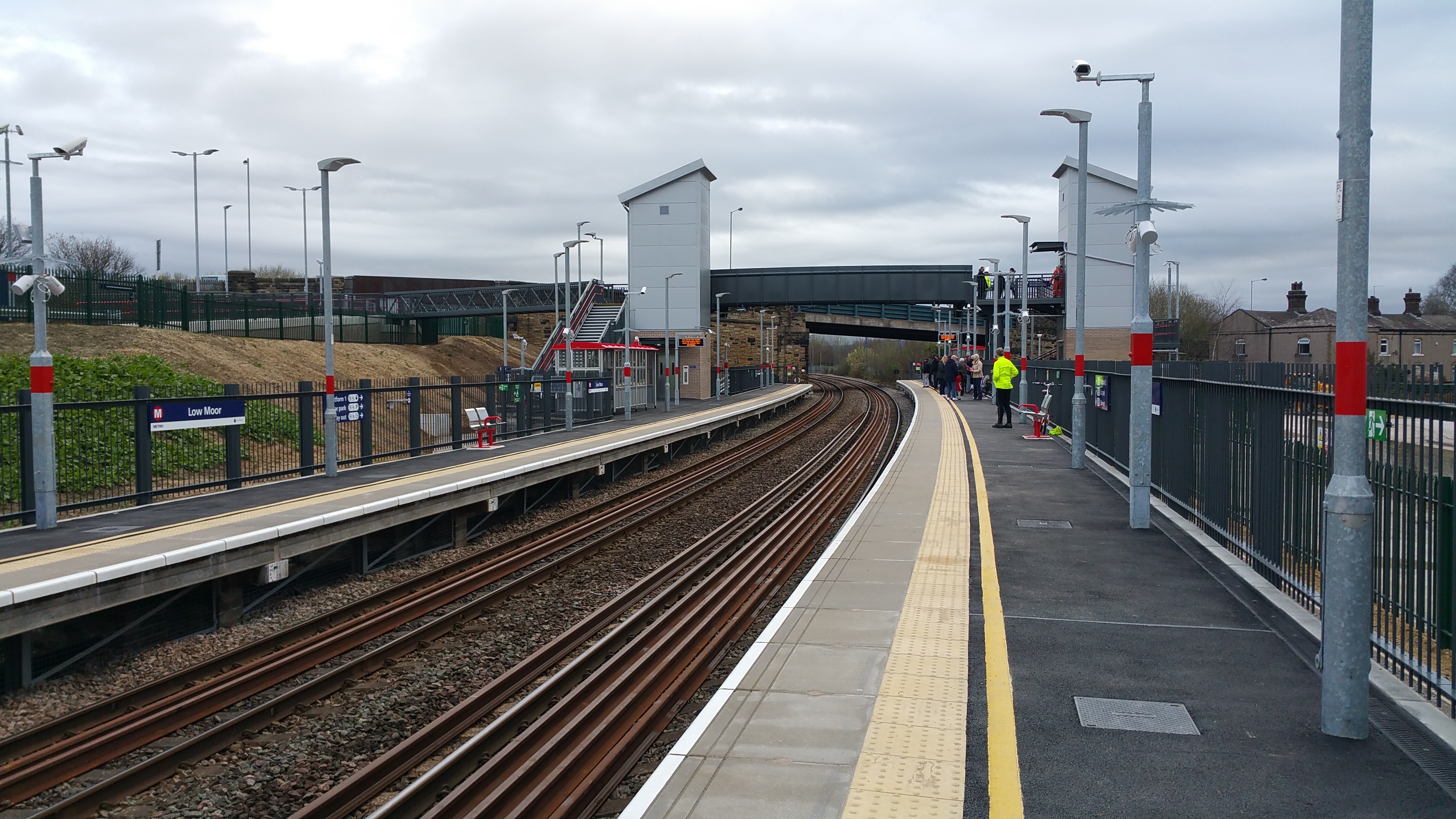
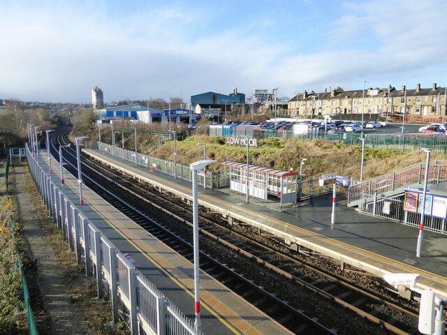
Low Moor railway station
Low Moor railway station serves the villages of Low Moor and Oakenshaw in the south of Bradford, West Yorkshire, England. The station is situated on the...
Nearby Amenities
Located within 500m of 53.742161,-1.7676255Have you been to Upper Wyke?
Leave your review of Upper Wyke below (or comments, questions and feedback).