Upper Common
Settlement in Yorkshire
England
Upper Common

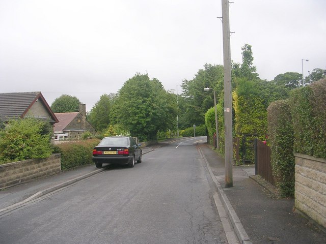
Upper Common is a small village located in the picturesque region of Yorkshire, England. Nestled amidst the rolling hills and verdant countryside, this charming village offers a peaceful and idyllic setting for its residents and visitors alike. With a population of around 500, Upper Common exudes a close-knit community atmosphere and a strong sense of rural tranquility.
The village is characterized by a collection of quaint stone houses that exude a traditional English charm. The surrounding landscape is dominated by lush meadows, green fields, and patches of dense woodland, providing a stunning backdrop for outdoor enthusiasts and nature lovers. Walking and hiking trails are abundant, allowing visitors to explore the surrounding countryside and appreciate the stunning vistas.
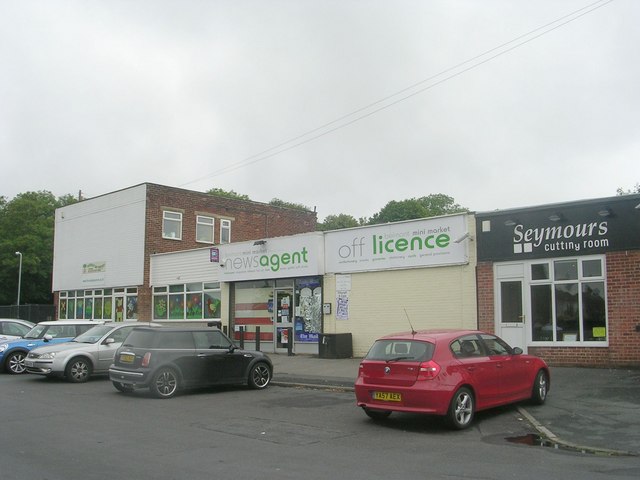
Upper Common boasts a number of amenities to cater to the needs of its residents. There is a small village shop that provides essential groceries and supplies, as well as a cozy village pub that serves as a popular meeting place for locals and visitors. The village also has a primary school, ensuring that families with young children are well catered for.
Although Upper Common may be small in size, its proximity to nearby towns and cities ensures that residents have access to a wider range of amenities and services. The village is located just a short drive away from the vibrant market town of Harrogate, which offers a variety of shopping, dining, and entertainment options.
In summary, Upper Common offers a picturesque and tranquil lifestyle in the heart of the Yorkshire countryside. Its natural beauty, close-knit community, and convenient location make it an attractive place to live or visit for those seeking a rural retreat.
If you have any feedback on the listing, please let us know in the comments section below.
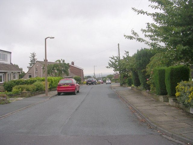
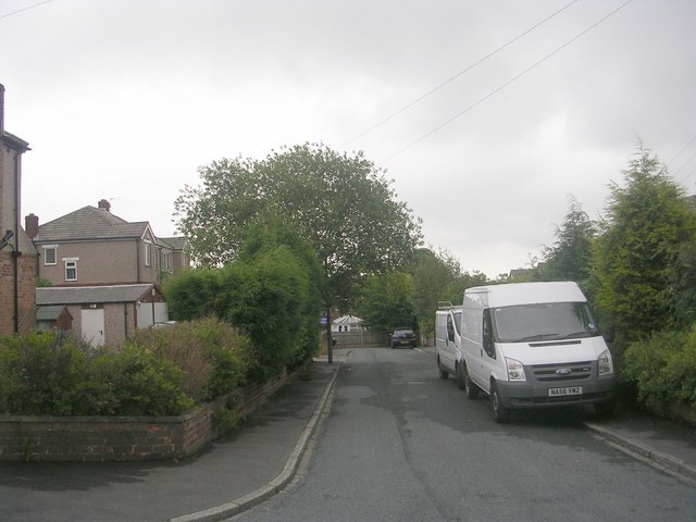
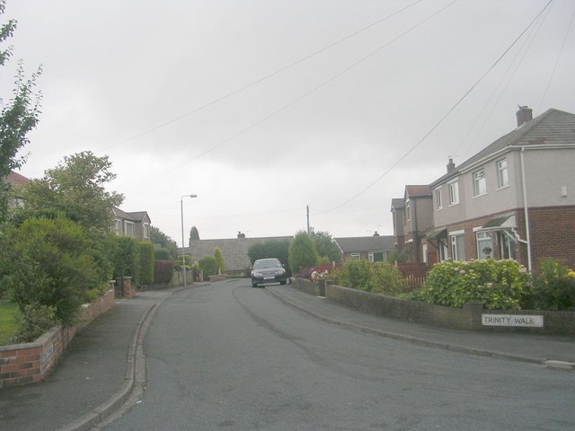
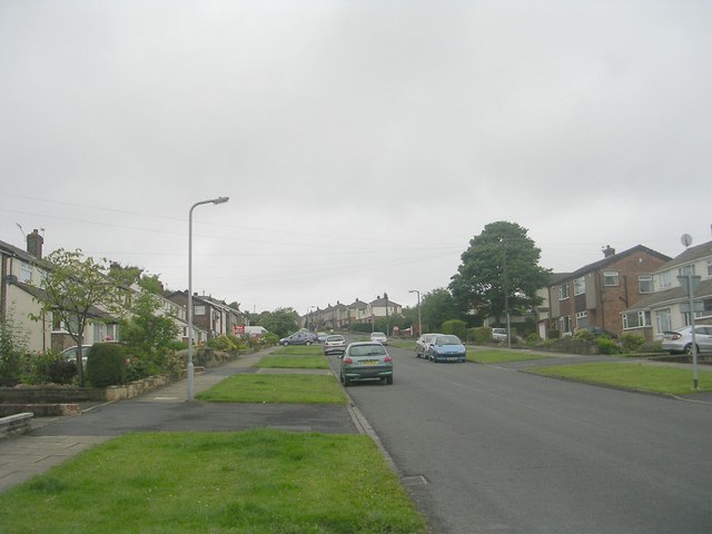
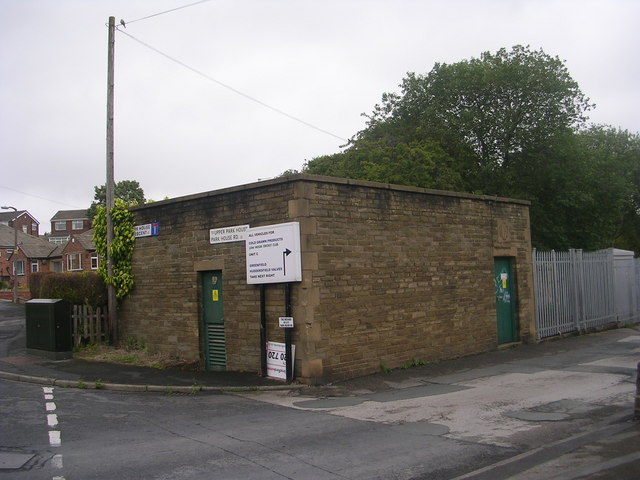
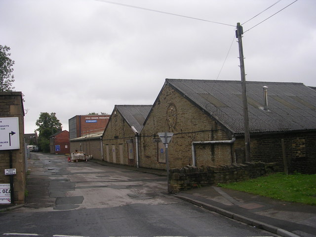
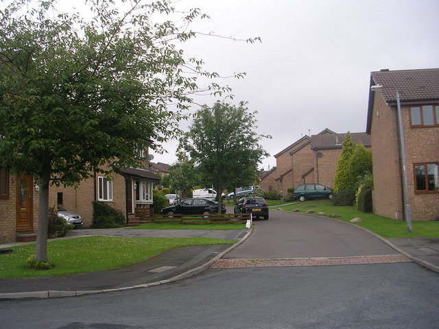
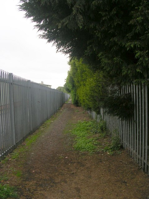
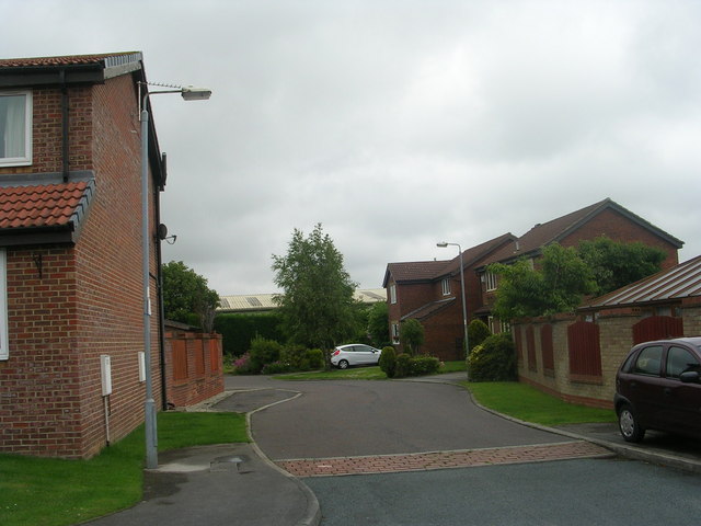
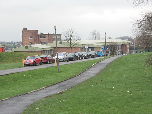
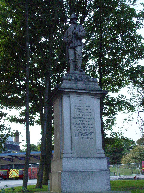
Upper Common Images
Images are sourced within 2km of 53.743188/-1.761463 or Grid Reference SE1527. Thanks to Geograph Open Source API. All images are credited.


Upper Common is located at Grid Ref: SE1527 (Lat: 53.743188, Lng: -1.761463)
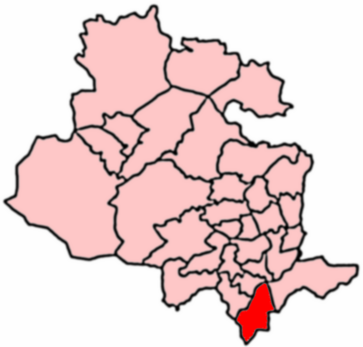
Division: West Riding
Unitary Authority: Bradford
Police Authority: West Yorkshire
What 3 Words
///slime.flown.sake. Near Cleckheaton, West Yorkshire
Nearby Locations
Related Wikis
Appleton Academy
Appleton Academy is a mixed all-through school for pupils aged 3 to 16. It is located in Wyke in the City of Bradford, in the English county of West Yorkshire...
Low Moor Explosion
The Low Moor Explosion was a fire and a series of explosions at a munitions factory in Low Moor, Bradford, West Riding of Yorkshire in August 1916. The...
Wyke, Bradford
Wyke (population 14,180 – 2001 UK census) is a ward within the City of Bradford Metropolitan District Council in the county of West Yorkshire, England...
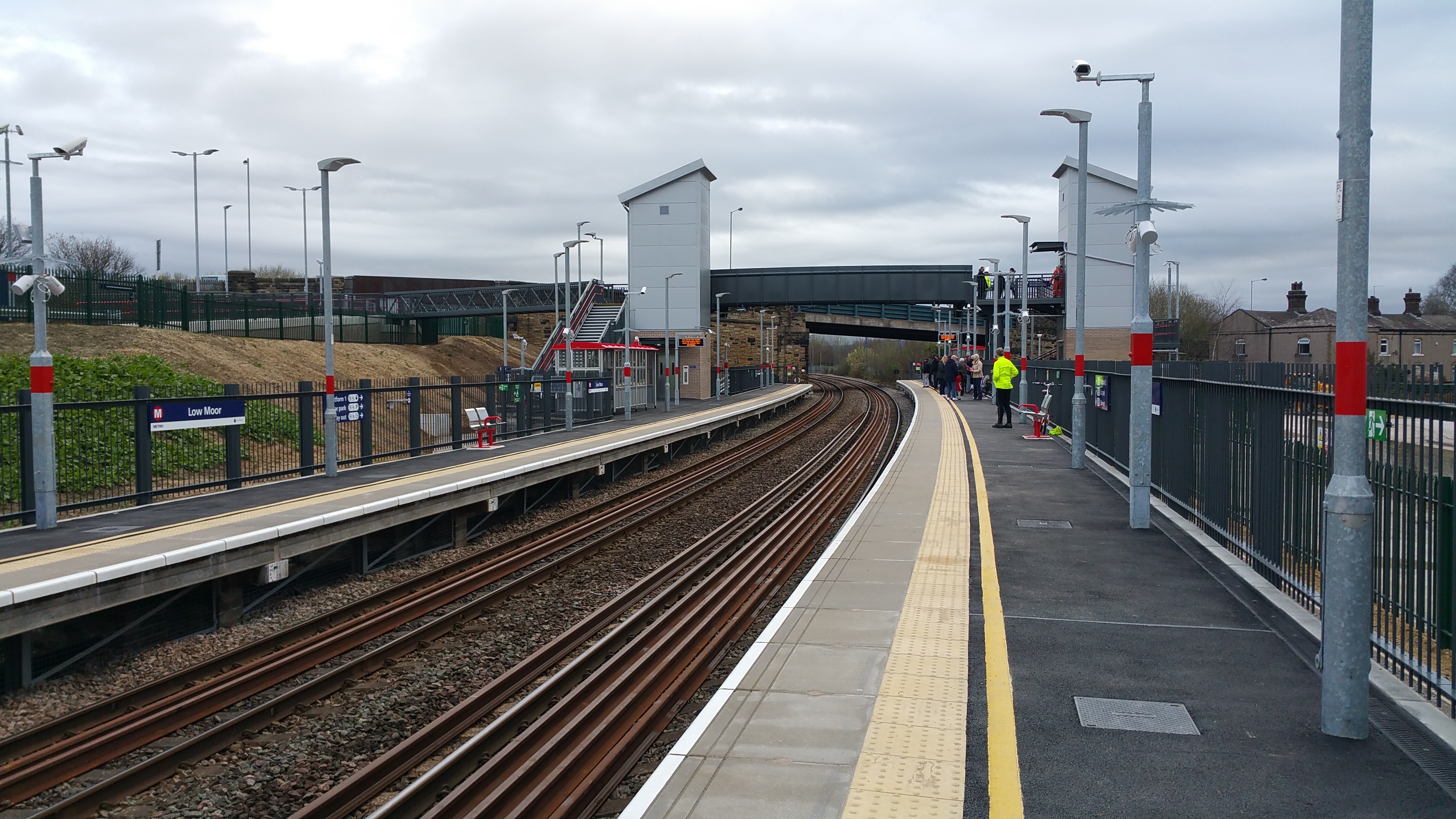
Low Moor railway station
Low Moor railway station serves the villages of Low Moor and Oakenshaw in the south of Bradford, West Yorkshire, England. The station is situated on the...
Related Videos

Walk With Us To Coley Waterfall, West Yorkshire
A short walk, approximately one mile in length, in this brief section of the Calderdale Way leads from Norwood Green to Coley ...

woodland walk 2021
judy woods station road wyke bradford yorkshire england.

Walk in Judy Wood, Norwood Green, Halifax (Shot on the insta360 Go 2) Beautiful UK Woodland & Nature
Walk round the beautiful scenic Judy Wood, Norwood Green, Halifax (Shot on the insta360 Go 2) Lovely place where we have ...

WYKE, BRADFORD - Circular Walk 3 - West Yorkshire
Wyke Green via Lower Wyke, Huddersfield Road, Whitehall Road & Griffe Road. Join me. Will you? Get exclusive access to the ...
Nearby Amenities
Located within 500m of 53.743188,-1.761463Have you been to Upper Common?
Leave your review of Upper Common below (or comments, questions and feedback).