Carr House Gate

Settlement in Yorkshire

England

Carr House Gate

Low Moor Railway Station This recently opened station is south west of Cleckheaton Road whereas the original station was north east of the road bridge.
Low Moor Railway Station Credit: Kevin Waterhouse

Carr House Gate is a small village located in the county of Yorkshire, England. Situated in the rural area of the East Riding of Yorkshire, this peaceful settlement is surrounded by picturesque countryside and offers a tranquil escape from the bustling cities nearby.

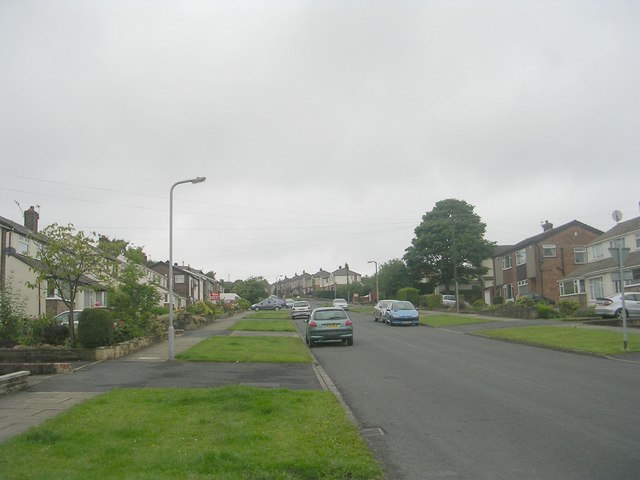
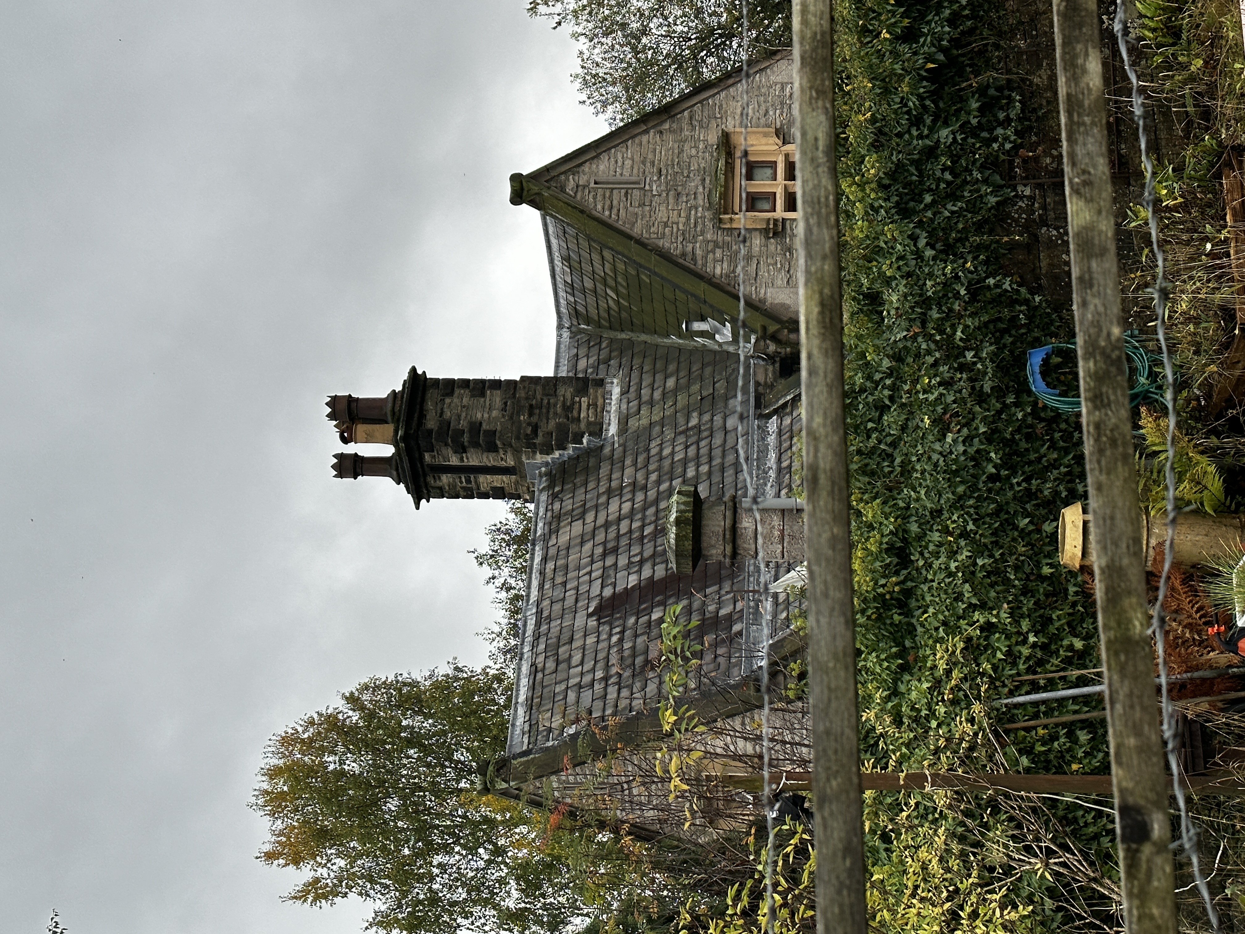
The village is known for its charming cottages, which showcase traditional Yorkshire architecture and add to the overall quaint atmosphere. The surrounding landscape is dominated by lush green fields, rolling hills, and meandering streams, providing ample opportunities for outdoor activities such as hiking and cycling.

One of the notable features of Carr House Gate is its close proximity to the stunning Yorkshire Wolds, an Area of Outstanding Natural Beauty. Visitors can explore the scenic walking trails that wind through this picturesque region, offering breathtaking views of the surrounding countryside.

Although Carr House Gate is a small village, it benefits from its convenient location. The nearby town of Beverley is only a short drive away, offering a range of amenities including shops, restaurants, and cultural attractions such as Beverley Minster, a magnificent medieval cathedral.

For those seeking a peaceful retreat in the heart of Yorkshire, Carr House Gate provides an idyllic setting. Its charming village atmosphere, stunning natural surroundings, and proximity to nearby attractions make it a popular destination for both locals and tourists alike.

If you have any feedback on the listing, please let us know in the comments section below.

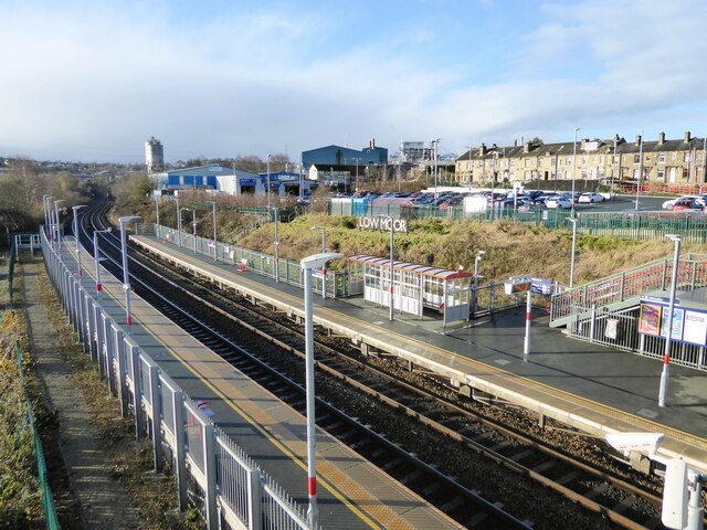
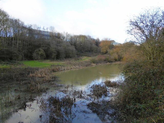
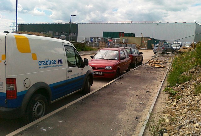
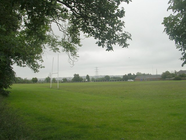
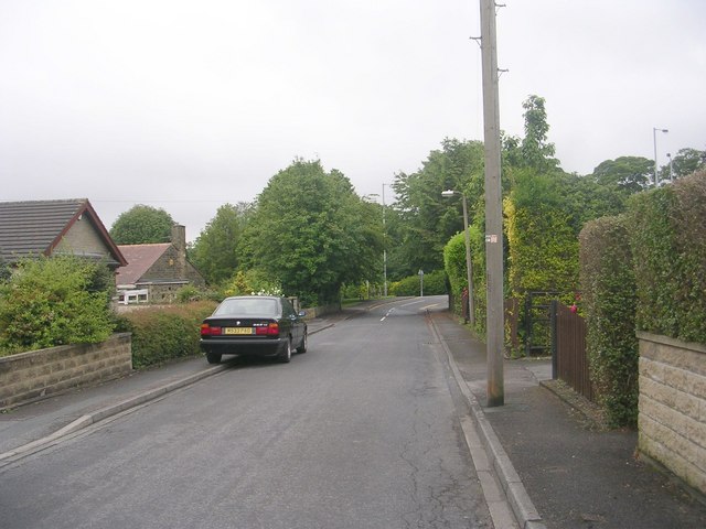
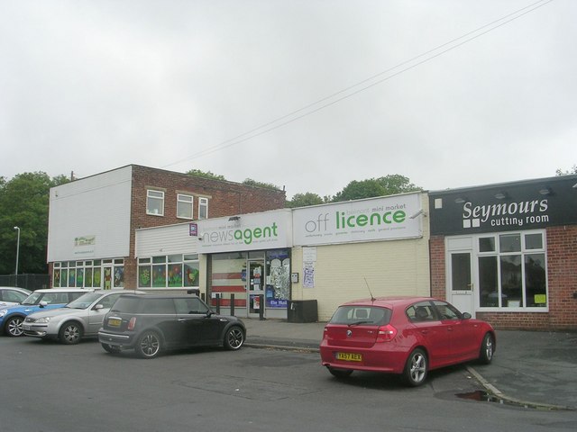
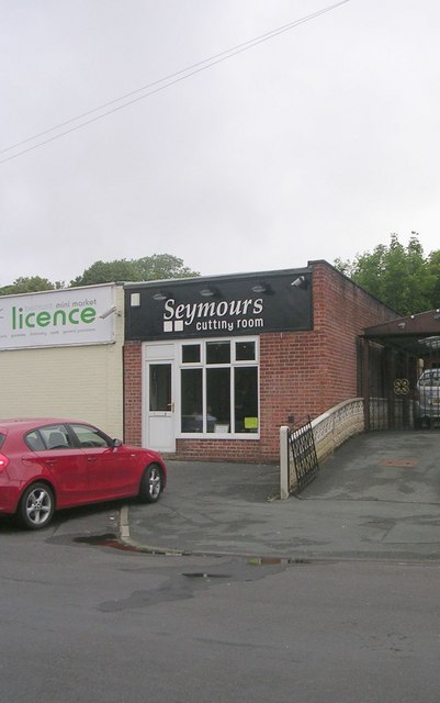
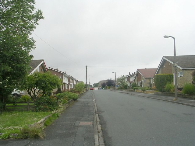
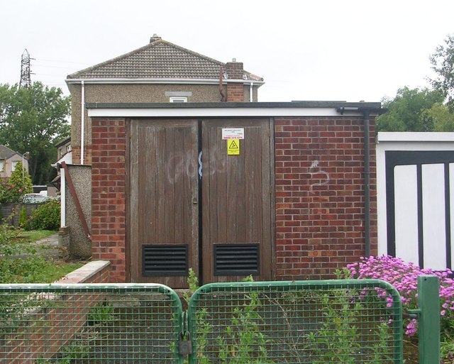
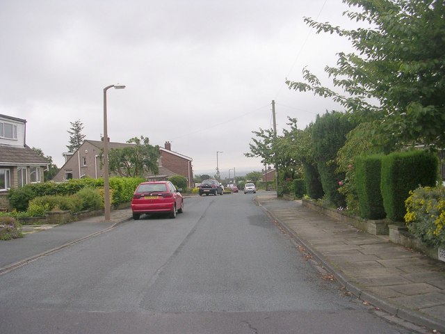
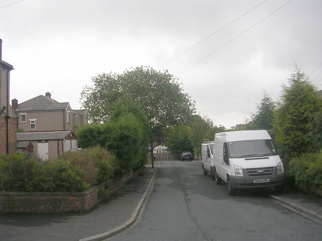
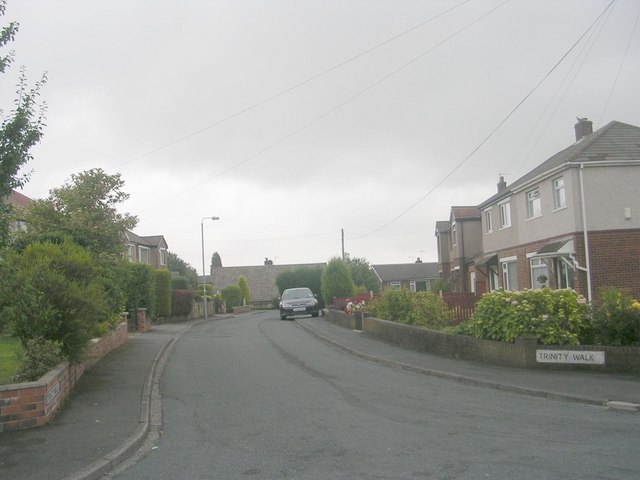
Carr House Gate Images

Images are sourced within 2km of 53.746408/-1.77165 or Grid Reference SE1527. Thanks to Geograph Open Source API. All images are credited.

Low Moor Railway Station This recently opened station is south west of Cleckheaton Road whereas the original station was north east of the road bridge.
Low Moor Railway Station
This recently opened station is south west of Cleckheaton Road whereas the original station was north east of the road bridge.
Former mill pond Now part of Toad Holes Beck nature reserve created partly around the site of the former Bierley Iron Works
Former mill pond
Now part of Toad Holes Beck nature reserve created partly around the site of the former Bierley Iron Works
Disused viaduct
Disused viaduct
New industrial unit, Bradford
Recreation Ground - Cleckheaton Road
Belmont Gardens - looking towards Wesley Avenue
Belmont Mini-Market - Belmont Avenue
Seymours Cutting Room - Belmont Avenue
Wynford Way - viewed from Belmont Crescent
Electricity Substation No 1065 - Belmont Crescent
Greenville Drive - viewed from Belmont Crescent
Trinity View - Wesley Drive
Trinity Walk - Wesley Drive
Wesley Avenue - Park House Road
Holy Trinity Church - viewed from Wesley Drive
Park House Crescent - Park House Road
Electricity Substation No 53 - Park House Road
Cold Drawn Products Ltd - Park House Road
Show me another place!

Carr House Gate is located at Grid Ref: SE1527 (Lat: 53.746408, Lng: -1.77165)

Division: West Riding

Unitary Authority: Bradford

Police Authority: West Yorkshire

What 3 Words

///places.shape.people. Near Clayton, West Yorkshire

Related Wikis

Appleton Academy

Appleton Academy is a mixed all-through school for pupils aged 3 to 16. It is located in Wyke in the City of Bradford, in the English county of West Yorkshire...
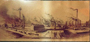
Low Moor Ironworks

The Low Moor Ironworks was a wrought iron foundry established in 1791 in the village of Low Moor about 3 miles (4.8 km) south of Bradford in Yorkshire...

Low Moor, Bradford

Low Moor is a village in the metropolitan borough of the City of Bradford in West Yorkshire, England. == History == Before 1790 Low Moor was nothing but...
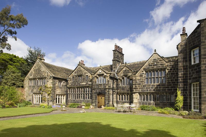
Royds Hall

Royds Hall Manor is one of the surviving manor houses in the Yorkshire Region. It is a Grade II* listed building situated on an elevation over 700 feet...

Royds, Bradford

Royds (population 16,350 - 2001 UK census) is a ward within the City of Bradford Metropolitan District Council in the county of West Yorkshire, England...

Wyke, Bradford

Wyke (population 14,180 – 2001 UK census) is a ward within the City of Bradford Metropolitan District Council in the county of West Yorkshire, England...

Wyke and Norwood Green railway station

Wyke and Norwood Green railway station served the villages of Wyke and Norwood Green in West Yorkshire, England. == History == Originally situated a little...

Low Moor Explosion

The Low Moor Explosion was a fire and a series of explosions at a munitions factory in Low Moor, Bradford, West Riding of Yorkshire in August 1916. The...

Nearby Amenities

Located within 500m of 53.746408,-1.77165
Mini Roundabout
Direction: clockwise
Lat/Long: 53.7450684/-1.7673988
Power: tower
Lat/Long: 53.7499362/-1.771295
Bus Stop
Huddersfield Road Woodside Road
Local Ref: 45014258
Naptan AtcoCode: 450014258
Naptan Bearing: N
Naptan CommonName: Huddersfield Road Woodside Road
Naptan Crossing: Woodside Road
Naptan Indicator: Stop 45014258
Naptan Landmark: St Mark-s Churchyard
Naptan PlusbusZoneRef: LEEDS
Naptan ShortCommonName: Woodside Road
Naptan Street: Huddersfield Road
Naptan Verified: no
Source: naptan_import
Lat/Long: 53.7502926/-1.7701287
Bus Stop
Huddersfield Road The Gateways
Local Ref: 45014259
Naptan AtcoCode: 450014259
Naptan Bearing: S
Naptan CommonName: Huddersfield Road The Gateways
Naptan Crossing: The Gateways
Naptan Indicator: Stop 45014259
Naptan Landmark: St Marks Churchyard
Naptan Notes: OSR taken place 191005
Naptan PlusbusZoneRef: LEEDS
Naptan ShortCommonName: Woodside Road
Naptan Street: Huddersfield Road
Naptan Verified: no
Source: naptan_import
Lat/Long: 53.7495099/-1.769769
Bus Stop
Huddersfield Road Markfield Drive
Local Ref: 45014260
Naptan AtcoCode: 450014260
Naptan Bearing: N
Naptan CommonName: Huddersfield Road Markfield Drive
Naptan Crossing: Markfield Drive
Naptan Indicator: Stop 45014260
Naptan PlusbusZoneRef: LEEDS
Naptan ShortCommonName: Markfield Drive
Naptan Street: Huddersfield Road
Naptan Verified: no
Source: naptan_import
Lat/Long: 53.7488542/-1.7699849
Bus Stop
Huddersfield Road Markfield Drive
Local Ref: 45014261
Naptan AtcoCode: 450014261
Naptan Bearing: S
Naptan CommonName: Huddersfield Road Markfield Drive
Naptan Crossing: Markfield Drive
Naptan Indicator: Stop 45014261
Naptan Notes: OSR taken place 070905
Naptan PlusbusZoneRef: LEEDS
Naptan ShortCommonName: Markfield Drive
Naptan Street: Huddersfield Road
Naptan Verified: no
Source: naptan_import
Lat/Long: 53.7484407/-1.7699568
Bus Stop
Huddersfield Road Carr House Lane
Local Ref: 45014262
Naptan AtcoCode: 450014262
Naptan Bearing: N
Naptan CommonName: Huddersfield Road Carr House Lane
Naptan Crossing: Carr House Lane
Naptan Indicator: Stop 45014262
Naptan Notes: OSR taken place 201005
Naptan PlusbusZoneRef: LEEDS
Naptan ShortCommonName: Carr House Lane
Naptan Street: Huddersfield Road
Naptan Verified: no
Source: naptan_import
Lat/Long: 53.7473264/-1.7701145
Bus Stop
Huddersfield Road Wycoller Road
Local Ref: 45014263
Naptan AtcoCode: 450014263
Naptan Bearing: SE
Naptan CommonName: Huddersfield Road Wycoller Road
Naptan Crossing: Wycoller Road
Naptan Indicator: Stop 45014263
Naptan Notes: OSR taken place 070905
Naptan PlusbusZoneRef: LEEDS
Naptan ShortCommonName: Wycoller Road
Naptan Street: Huddersfield Road
Naptan Verified: no
Source: naptan_import
Lat/Long: 53.7468672/-1.7696773
Bus Stop
Huddersfield Road Barraclough Square
Local Ref: 45014264
Naptan AtcoCode: 450014264
Naptan Bearing: S
Naptan CommonName: Huddersfield Road Barraclough Square
Naptan Crossing: Barraclough Square
Naptan Indicator: Stop 45014264
Naptan Landmark: Crown PH
Naptan Notes: OSR taken place 201005
Naptan PlusbusZoneRef: LEEDS
Naptan ShortCommonName: Barraclough Square
Naptan Street: Huddersfield Road
Naptan Verified: no
Source: naptan_import
Lat/Long: 53.7448669/-1.767156
Bus Stop
Huddersfield Road Back Road
Local Ref: 45014265
Naptan AtcoCode: 450014265
Naptan Bearing: N
Naptan CommonName: Huddersfield Road Back Road
Naptan Crossing: Back Road
Naptan Indicator: Stop 45014265
Naptan Landmark: Crown PH
Naptan PlusbusZoneRef: LEEDS
Naptan ShortCommonName: Back Road
Naptan Street: Huddersfield Road
Naptan Verified: no
Source: naptan_import
Lat/Long: 53.7445615/-1.7672638
Bus Stop
Woodside Road Summer Hall Ing
Local Ref: 45014276
Naptan AtcoCode: 450014276
Naptan Bearing: N
Naptan CommonName: Woodside Road Summer Hall Ing
Naptan Crossing: Summer Hall Ing
Naptan Indicator: Stop 45014276
Naptan PlusbusZoneRef: LEEDS
Naptan ShortCommonName: Summer Hall Ing
Naptan Street: Woodside Road
Naptan Verified: no
Source: naptan_import
Lat/Long: 53.747589/-1.7710988
Bus Stop
Woodside Road Carr House Lane
Local Ref: 45014277
Naptan AtcoCode: 450014277
Naptan Bearing: S
Naptan CommonName: Woodside Road Carr House Lane
Naptan Crossing: Carr House Lane
Naptan Indicator: Stop 45014277
Naptan Notes: OSR taken place 191005
Naptan PlusbusZoneRef: LEEDS
Naptan ShortCommonName: Carr House Lane
Naptan Street: Woodside Road
Naptan Verified: no
Source: naptan_import
Lat/Long: 53.7463121/-1.7708024
Bus Stop
Woodside Road High Fernley Road
Local Ref: 45014278
Naptan AtcoCode: 450014278
Naptan Bearing: S
Naptan CommonName: Woodside Road High Fernley Road
Naptan Crossing: High Fernley Road
Naptan Indicator: Stop 45014278
Naptan Notes: OSR taken place 070905
Naptan PlusbusZoneRef: LEEDS
Naptan ShortCommonName: High Fernley Road
Naptan Street: Woodside Road
Naptan Verified: no
Source: naptan_import
Lat/Long: 53.7440635/-1.7700262
Bus Stop
Woodside Road High Fernley Road
Local Ref: 45014279
Naptan AtcoCode: 450014279
Naptan Bearing: N
Naptan CommonName: Woodside Road High Fernley Road
Naptan Crossing: High Fernley Road
Naptan Indicator: Stop 45014279
Naptan PlusbusZoneRef: LEEDS
Naptan ShortCommonName: High Fernley Road
Naptan Street: Woodside Road
Naptan Verified: no
Source: naptan_import
Lat/Long: 53.743785/-1.7701187
Turning Circle
Lat/Long: 53.7485653/-1.7747816
Turning Circle
Lat/Long: 53.7474167/-1.7695289
Turning Circle
Lat/Long: 53.7486628/-1.7762729
Turning Circle
Lat/Long: 53.7469778/-1.7742103
Turning Circle
Lat/Long: 53.7485207/-1.7673509
Mini Roundabout
Lat/Long: 53.7483265/-1.7757292
Turning Circle
Lat/Long: 53.746078/-1.7730908
Turning Circle
Lat/Long: 53.7485143/-1.7738955
Turning Circle
Lat/Long: 53.7477911/-1.7685954
Turning Circle
Lat/Long: 53.7468838/-1.7723076
Turning Circle
Lat/Long: 53.7468838/-1.7694645
Turning Circle
Lat/Long: 53.7487417/-1.7756935
Turning Circle
Lat/Long: 53.7476007/-1.7672329
Turning Circle
Lat/Long: 53.747182/-1.7688637
Turning Circle
Lat/Long: 53.7473406/-1.7678766
Turning Circle
Lat/Long: 53.7495992/-1.7729728
Turning Circle
Lat/Long: 53.7445166/-1.7657017
Turning Circle
Lat/Long: 53.7441809/-1.7690997
Turning Circle
Lat/Long: 53.7464747/-1.7645295
Turning Circle
Lat/Long: 53.743486/-1.7664593
Turning Circle
Lat/Long: 53.745724/-1.7658463
Turning Circle
Lat/Long: 53.7462428/-1.7652697
Turning Circle
Lat/Long: 53.7442238/-1.7682251
Turning Circle
Lat/Long: 53.7462324/-1.7673875
Turning Circle
Lat/Long: 53.7456717/-1.7713588
Turning Circle
Lat/Long: 53.746541/-1.7740623
Turning Circle
Lat/Long: 53.7476752/-1.7755094
Turning Circle
Lat/Long: 53.749287/-1.7679517
Turning Circle
Lat/Long: 53.7490491/-1.767131
Turning Circle
Lat/Long: 53.7468762/-1.7701565
Access: no
Barrier: bollard
Bicycle: yes
Bollard: fixed
Foot: yes
Height: 1
Horse: yes
Material: concrete
Motor Vehicle: no
Source: local knowledge
Lat/Long: 53.7469143/-1.7707842
Turning Circle
Lat/Long: 53.7458198/-1.7701806
Bus Stop
Huddersfield Road / Storr Hill
Lat/Long: 53.7451143/-1.7674404
Pub
The Crown
Addr Street: Huddersfield Road
Lat/Long: 53.7450031/-1.7674047
Crown Garage
Addr Street: Huddersfield Road
Shop: car_repair
Lat/Long: 53.7448005/-1.7672115
The data included in this document is from www.openstreetmap.org. The data is made available under ODbL.

Have you been to Carr House Gate?

Leave your review of Carr House Gate below (or comments, questions and feedback).