New Road Side
Settlement in Yorkshire
England
New Road Side
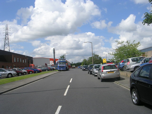
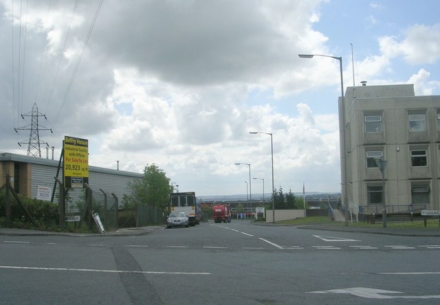
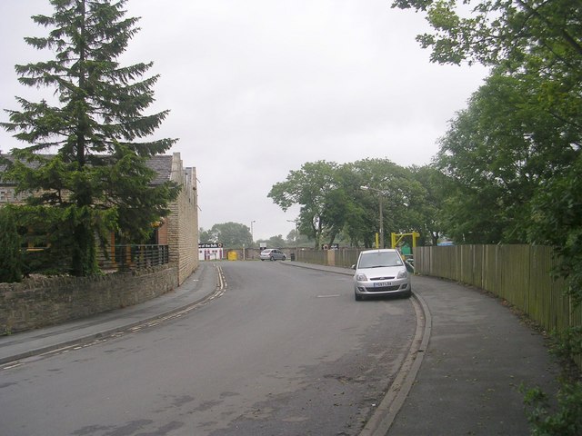
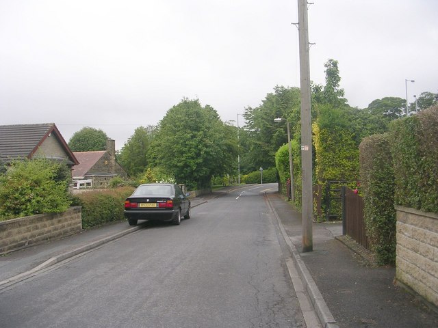
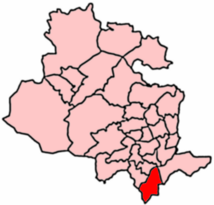
New Road Side is a small village located in Yorkshire, England. Situated in the metropolitan borough of Leeds, it is part of the larger Guiseley and Rawdon ward. The village is nestled between the towns of Guiseley and Horsforth, offering residents easy access to various amenities and services.
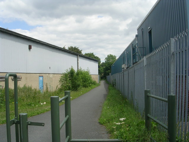
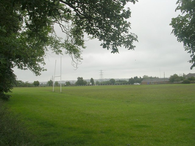
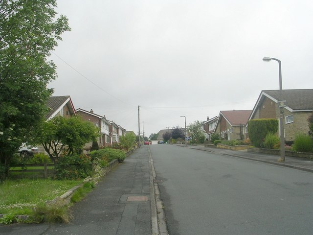
New Road Side is primarily a residential area, consisting of a mix of houses and apartments. The housing stock includes a range of architectural styles, from traditional stone-built properties to more modern developments. The village is known for its attractive streets lined with trees, creating a pleasant and welcoming environment for residents and visitors alike.
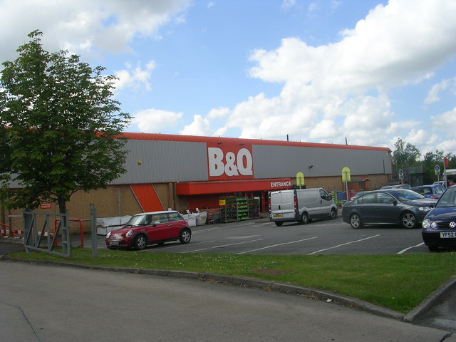
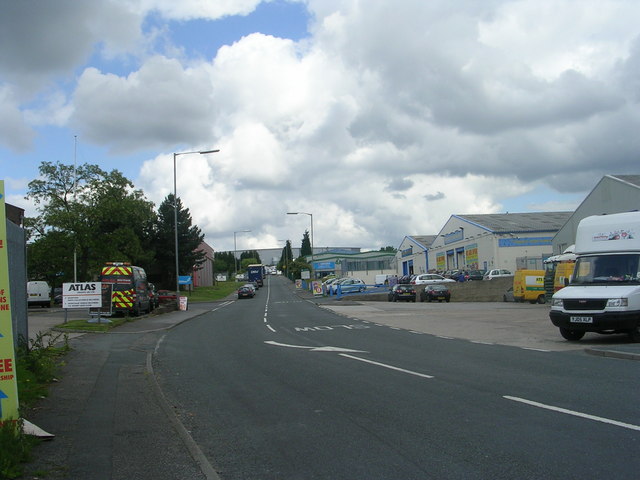
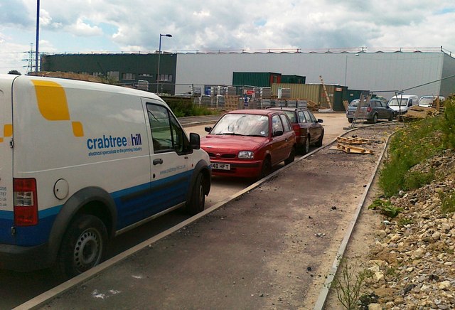
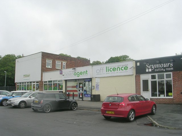
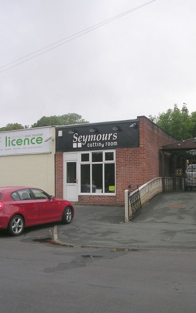
Despite its primarily residential character, New Road Side also boasts a number of local businesses. The main road through the village is lined with a variety of shops, including convenience stores, bakeries, cafes, and restaurants. These establishments provide locals with essential goods and services, as well as opportunities for socializing and dining out.
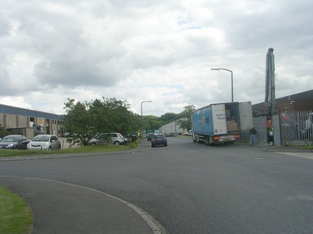
The village benefits from good transportation links, with regular bus services connecting it to nearby towns and cities. Additionally, New Road Side is situated close to major road networks, making it easily accessible by car.
Overall, New Road Side is a charming village in the heart of Yorkshire. Its residential nature, combined with a range of local amenities, makes it an attractive place to live for those seeking a peaceful yet well-connected community.
If you have any feedback on the listing, please let us know in the comments section below.
New Road Side Images
Images are sourced within 2km of 53.745704/-1.761146 or Grid Reference SE1527. Thanks to Geograph Open Source API. All images are credited.
New Road Side is located at Grid Ref: SE1527 (Lat: 53.745704, Lng: -1.761146)
Division: West Riding
Unitary Authority: Bradford
Police Authority: West Yorkshire
What 3 Words
///bars.hype.assets. Near Cleckheaton, West Yorkshire
Nearby Locations
Related Wikis
Low Moor Explosion
The Low Moor Explosion was a fire and a series of explosions at a munitions factory in Low Moor, Bradford, West Riding of Yorkshire in August 1916. The...
Appleton Academy
Appleton Academy is a mixed all-through school for pupils aged 3 to 16. It is located in Wyke in the City of Bradford, in the English county of West Yorkshire...
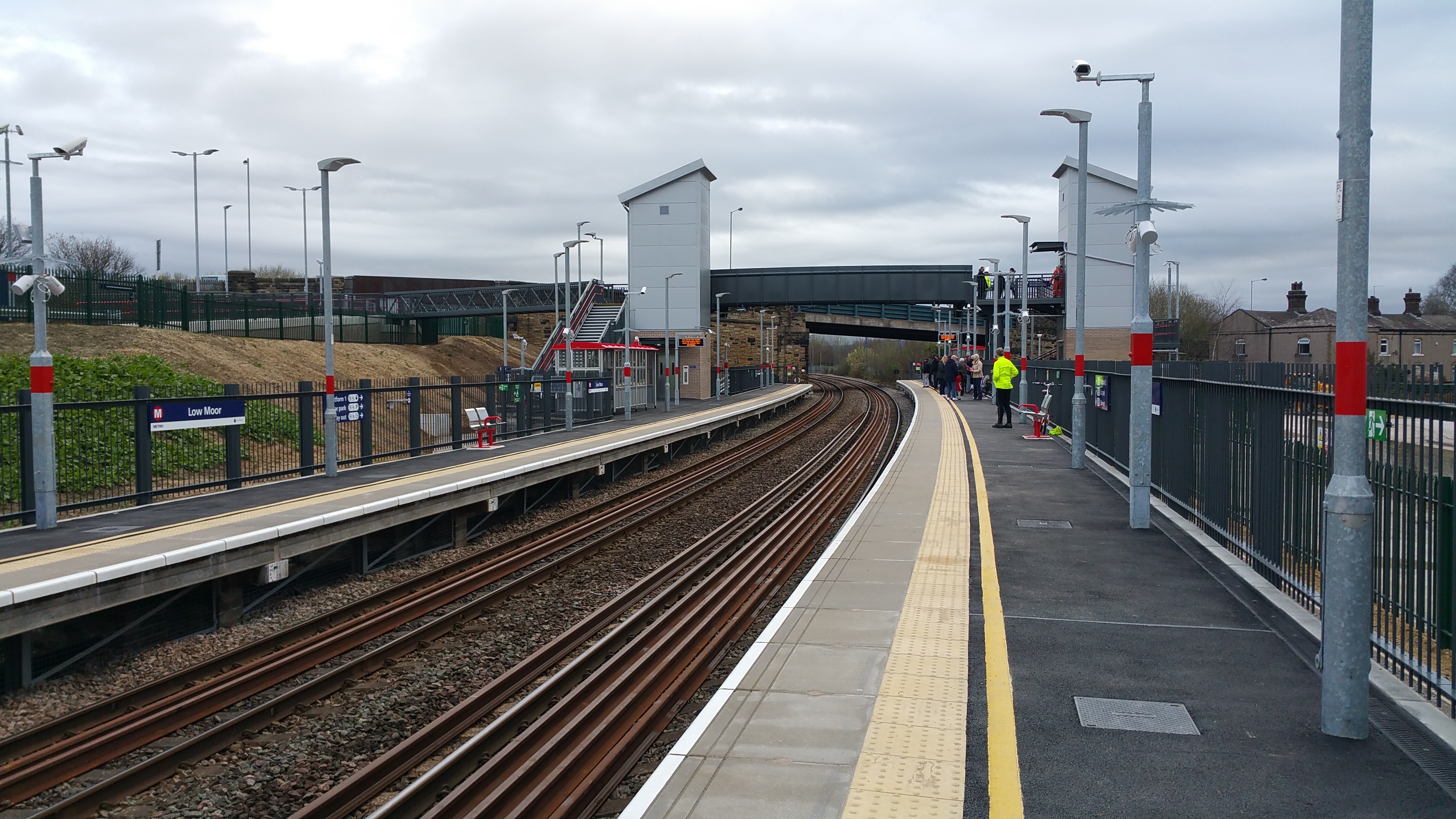
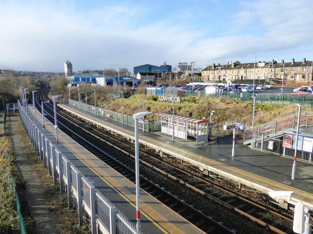
Low Moor railway station
Low Moor railway station serves the villages of Low Moor and Oakenshaw in the south of Bradford, West Yorkshire, England. The station is situated on the...
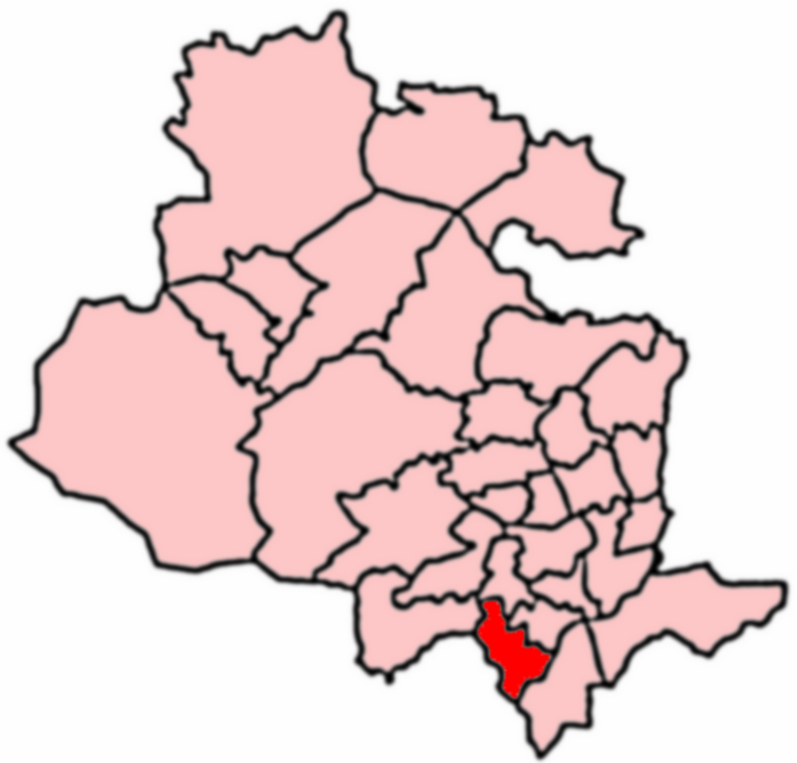
Royds, Bradford
Royds (population 16,350 - 2001 UK census) is a ward within the City of Bradford Metropolitan District Council in the county of West Yorkshire, England...

Low Moor, Bradford
Low Moor is a village in the metropolitan borough of the City of Bradford in West Yorkshire, England. == History == Before 1790 Low Moor was nothing but...
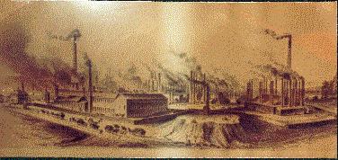
Low Moor Ironworks
The Low Moor Ironworks was a wrought iron foundry established in 1791 in the village of Low Moor about 3 miles (4.8 km) south of Bradford in Yorkshire...
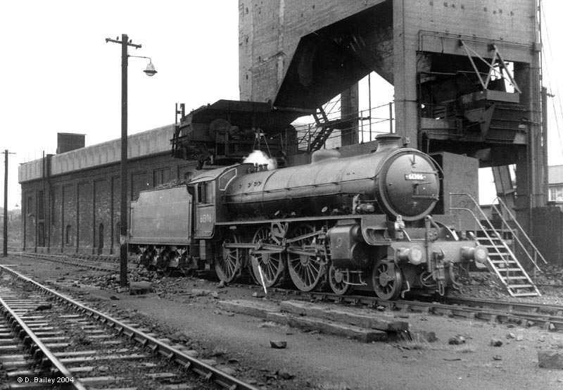
Low Moor engine shed
Low Moor engine shed was steam locomotive shed built adjacent to Low Moor railway station, south of Bradford in West Yorkshire, England. Originally opened...
Wyke, Bradford
Wyke (population 14,180 – 2001 UK census) is a ward within the City of Bradford Metropolitan District Council in the county of West Yorkshire, England...
Nearby Amenities
Located within 500m of 53.745704,-1.761146Have you been to New Road Side?
Leave your review of New Road Side below (or comments, questions and feedback).