New Romney
Settlement in Kent Shepway
England
New Romney
New Romney is a small town located in the district of Shepway, in the county of Kent, England. Situated on the south-eastern coast of the country, it is part of the larger area known as Romney Marsh. With a population of around 6,000 residents, it is considered a relatively quiet and peaceful town.
New Romney has a rich history, dating back to the medieval times. It was once a bustling port, with strong connections to the Cinque Ports Confederation. The town's economy thrived on the wool trade and fishing industry. Today, the maritime heritage is still visible in the town's architecture and the historic buildings that line its streets.
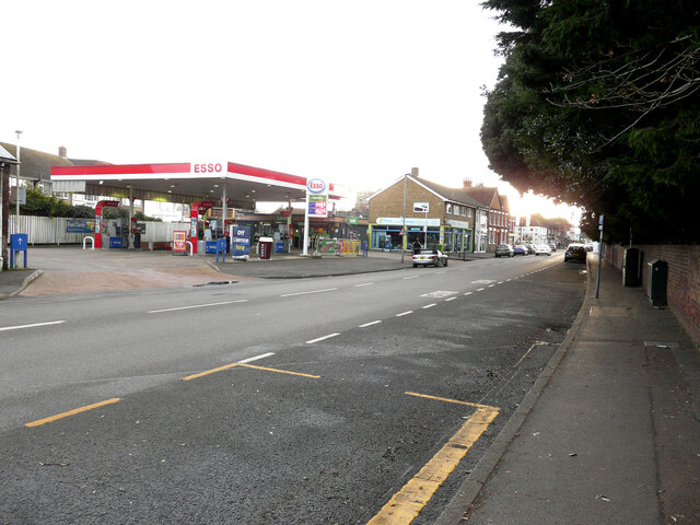
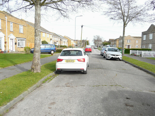
The town center of New Romney is characterized by charming, traditional buildings, many of which have been well-preserved throughout the years. The High Street offers a variety of independent shops, restaurants, and pubs, providing locals and visitors with a range of amenities and services.
The town is also known for its annual Bonfire Night celebrations, which draw crowds from the surrounding areas. The event features a grand bonfire and a spectacular firework display, attracting both locals and tourists alike.
New Romney boasts a prime location, with easy access to the beautiful beaches of the English Channel and the picturesque countryside of Romney Marsh. It is a popular destination for nature lovers, offering opportunities for outdoor activities such as walking, cycling, and birdwatching.
In conclusion, New Romney is a small, historic town in Kent, with a rich maritime heritage and a close-knit community. It offers a peaceful and picturesque setting, making it an attractive place to live or visit for those seeking a relaxing coastal retreat.
If you have any feedback on the listing, please let us know in the comments section below.
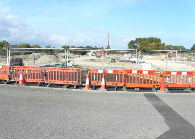
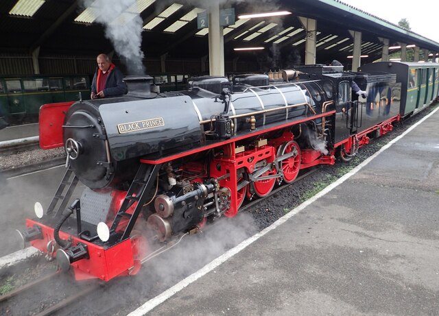
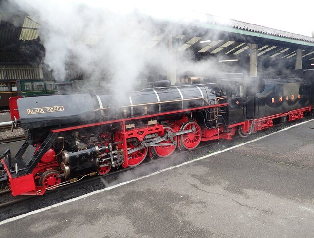
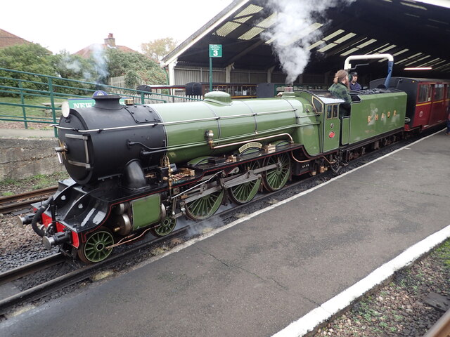
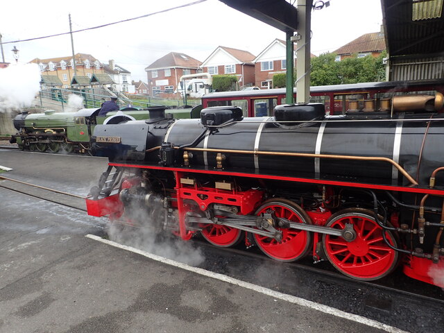
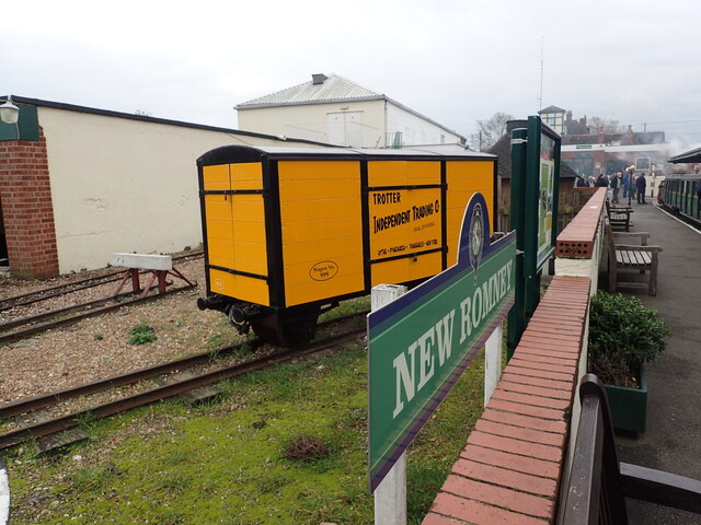
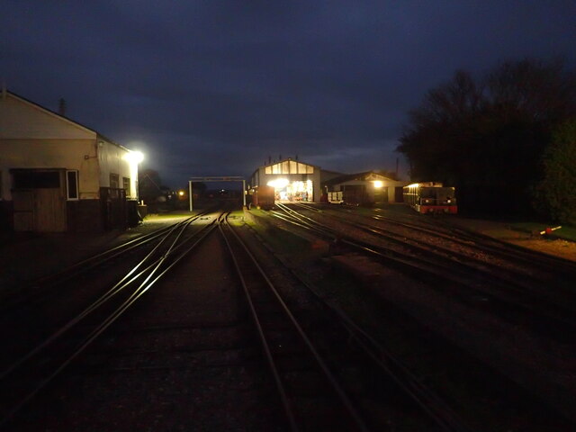
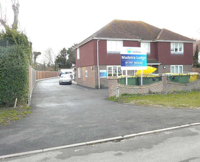
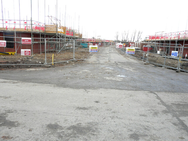
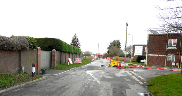
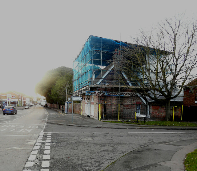
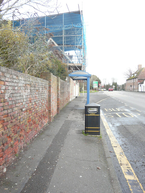
New Romney Images
Images are sourced within 2km of 50.985804/0.9401523 or Grid Reference TR0624. Thanks to Geograph Open Source API. All images are credited.
New Romney is located at Grid Ref: TR0624 (Lat: 50.985804, Lng: 0.9401523)
Administrative County: Kent
District: Shepway
Police Authority: Kent
What 3 Words
///unfit.soup.crossword. Near New Romney, Kent
Nearby Locations
Related Wikis

New Romney Priory
New Romney Priory, or the Priory of St John the Baptist was a 13th-century monastic grange in New Romney, Kent, England. Remains of the priory survive...
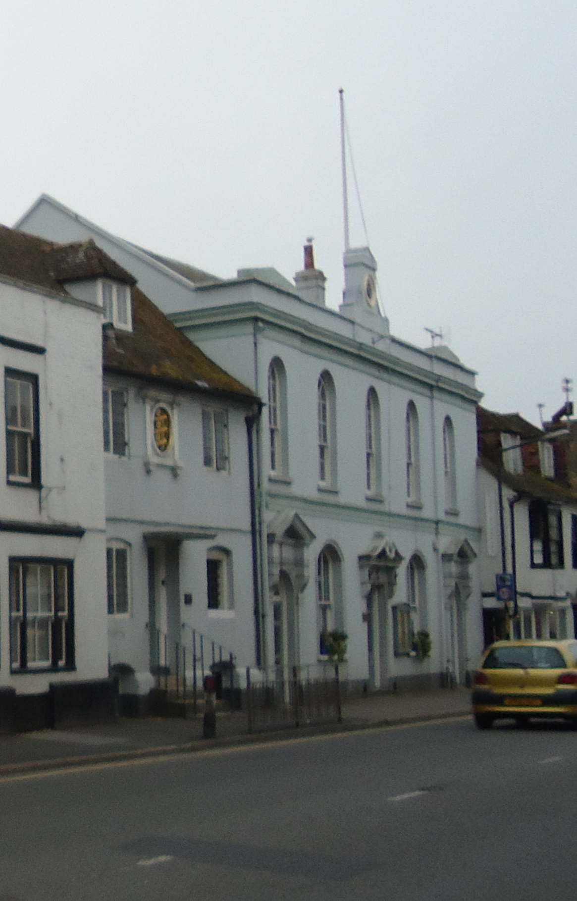
New Romney Town Hall
New Romney Town Hall is a municipal structure in the High Street, New Romney, Kent, England. The structure, which is the meeting place of New Romney Town...

New Romney
New Romney is a market town in Kent, England, on the edge of Romney Marsh, an area of flat, rich agricultural land reclaimed from the sea after the harbour...
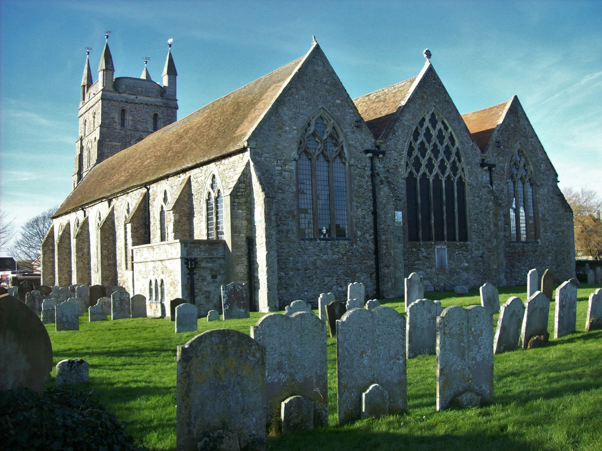
St Nicholas Church, New Romney
St Nicholas Church is an Anglican church in New Romney, Kent, England, and in the Diocese of Canterbury. It is a Grade I listed building. The earliest...
Nearby Amenities
Located within 500m of 50.985804,0.9401523Have you been to New Romney?
Leave your review of New Romney below (or comments, questions and feedback).