Stubbing Court

Heritage Site in Derbyshire

England

Stubbing Court

Harperhill Farm Not in a great state of repair and not in current use.
Harperhill Farm Credit: Bill Boaden

Stubbing Court is a historic country house located in the county of Derbyshire, England. Situated near the village of Chesterfield, it is renowned for its architectural beauty and rich history. The house, which dates back to the 17th century, is a Grade II* listed building, indicating its significance and importance as a heritage site.

The main building of Stubbing Court is a stunning example of Jacobean architecture, characterized by its symmetrical design, mullioned windows, and decorative gables. The house is constructed with local sandstone, giving it a distinctive and charming appearance. It is surrounded by well-manicured gardens and a picturesque parkland, adding to its overall allure.

Over the centuries, Stubbing Court has been occupied by several notable families, including the Staniforths, the Rotherhams, and the Barlows. Each family has contributed to the house's development and embellishment, leaving their mark on the property. The interior of the house boasts a wealth of original features, including ornate plasterwork, grand fireplaces, and intricate woodwork.

Today, Stubbing Court serves as a private residence and is not open to the public. However, its exterior can still be admired from the surrounding grounds, where visitors can appreciate its architectural splendor and historical significance. The house stands as a testament to Derbyshire's rich heritage and is a cherished landmark in the local community.

If you have any feedback on the listing, please let us know in the comments section below.

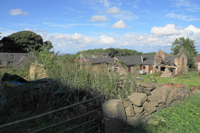
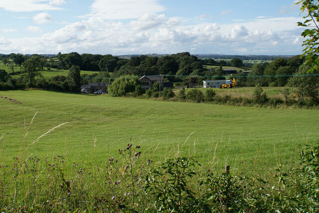
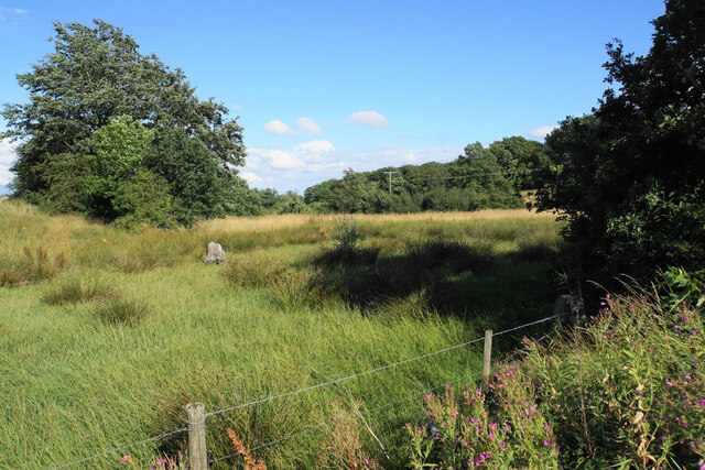
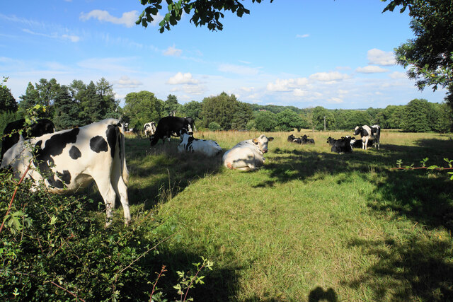
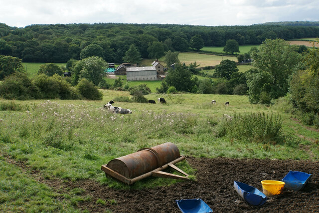
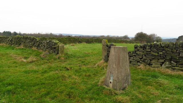
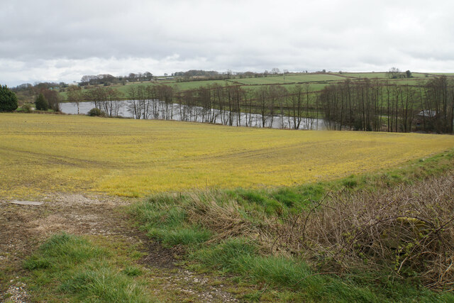
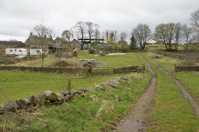
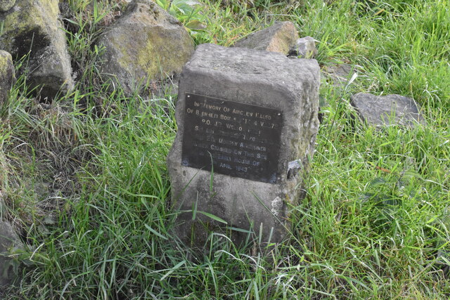
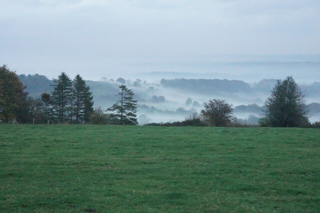
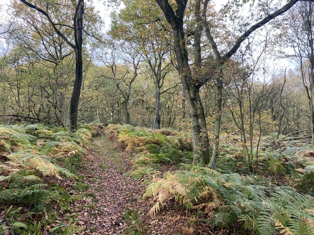
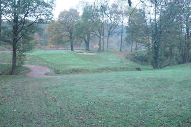
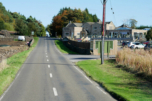
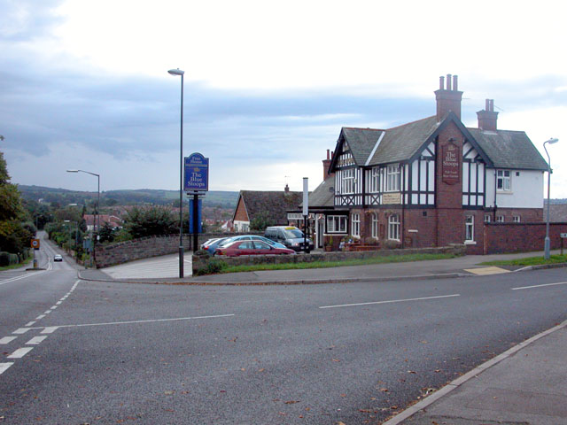
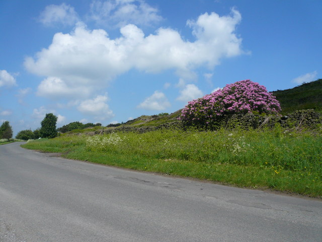
Stubbing Court Images

Images are sourced within 2km of 53.203/-1.468 or Grid Reference SK3567. Thanks to Geograph Open Source API. All images are credited.

Harperhill Farm Not in a great state of repair and not in current use.
Harperhill Farm
Not in a great state of repair and not in current use.
Farmland below Stoneycroft Lane The farmland is on the gently rising land to the west of Chesterfield.
Farmland below Stoneycroft Lane
The farmland is on the gently rising land to the west of Chesterfield.
Rough grazing land off Stoneycroft Lane The land is sloping up to Harper Hill.
Rough grazing land off Stoneycroft Lane
The land is sloping up to Harper Hill.
Cattle by Matlock Road On the outskirts of the Chesterfield conurbation.
Cattle by Matlock Road
On the outskirts of the Chesterfield conurbation.
Roadworks on Matlock Road The A632 is down to single-lane traffic.
Roadworks on Matlock Road
The A632 is down to single-lane traffic.
St John's Church, Walton Not easily seen from Matlock Road. The main entrance is on the other side, off Walton Back Lane.
St John's Church, Walton
Not easily seen from Matlock Road. The main entrance is on the other side, off Walton Back Lane.
Fairway at Stanedge Golf Club One of the fairways crossed by a footpath. Chesterfield is seen on the plain in the distance.
Fairway at Stanedge Golf Club
One of the fairways crossed by a footpath. Chesterfield is seen on the plain in the distance.
Path through Stone Edge Plantation A pleasant and sufficiently airy route through this broad-leaved plantation on former quarry land.
Path through Stone Edge Plantation
A pleasant and sufficiently airy route through this broad-leaved plantation on former quarry land.
Pile of rocks in Stone Edge Plantation A reminder of former quarrying activity.
Pile of rocks in Stone Edge Plantation
A reminder of former quarrying activity.
Farm paraphernalia above Carr House Farm Looking down from Bole Hill.
Farm paraphernalia above Carr House Farm
Looking down from Bole Hill.
Spitewinter Trig Point, Derbyshire This trig point is in a remarkably good condition.
Spitewinter Trig Point, Derbyshire
This trig point is in a remarkably good condition.
Field below Birkinlane Farm Looking down on the Upper Press Reservoir. I am not sure why the grass in this field is an unnatural yellow colour, but it may be the effect of weedkiller.
Field below Birkinlane Farm
Looking down on the Upper Press Reservoir. I am not sure why the grass in this field is an unnatural yellow colour, but it may be the effect of weedkiller.
High Ashes Farm The home of High Ashes Rural Project which primarily presents activities for those with learning disabilities.
High Ashes Farm
The home of High Ashes Rural Project which primarily presents activities for those with learning disabilities.
Wartime air crash memorial near Highashes Lane A Blenheim bomber crashed at this site on 7 April 1943 with the loss of 3 crew.
Wartime air crash memorial near Highashes Lane
A Blenheim bomber crashed at this site on 7 April 1943 with the loss of 3 crew.
Field near Yewfield Farm The eye is drawn to the evening mist on the side of Harper Hill.
Field near Yewfield Farm
The eye is drawn to the evening mist on the side of Harper Hill.
Path through Stone Edge plantation Showing some autumn colour.
Path through Stone Edge plantation
Showing some autumn colour.
Footpath crossing Birdholme Brook The path is passing through the Chesterfield Golf Club course. It is viewed in fading light on a misty autumn afternoon.
Footpath crossing Birdholme Brook
The path is passing through the Chesterfield Golf Club course. It is viewed in fading light on a misty autumn afternoon.
Darley Road, Stone Edge B5057 passing Peak Edge Hotel.
Darley Road, Stone Edge
B5057 passing Peak Edge Hotel.
Show me another place!

Stubbing Court is located at Grid Ref: SK3567 (Lat: 53.203, Lng: -1.468)

Police Authority: Derbyshire

What 3 Words

///bumpy.backers.blush. Near Walton, Derbyshire

Related Wikis

Walton, Chesterfield

Walton is a suburb of Chesterfield, in the Chesterfield district, in the county of Derbyshire, England. Walton extends into the neighbouring North East...

Holymoorside

Holymoorside is a village in the civil parish of Holymoorside and Walton, in the North East Derbyshire district, in the county of Derbyshire, England,...

North East Derbyshire

North East Derbyshire is a local government district in Derbyshire, England. The council is based in the large village of Wingerworth. The district also...

Walton Hall, Chesterfield

Walton Hall is a late 18th-century country house, now a farmhouse, situated at Foljambe Avenue, Walton, Chesterfield. It is a Grade II listed building...

Holymoorside and Walton

Holymoorside and Walton is a civil parish within the North East Derbyshire district, which is in the county of Derbyshire, England. Named for its main...

Somersall Hall

Somersall Hall is a small country house near Brampton, Chesterfield, Derbyshire. It is a Grade II listed building.The Clarke family owned the estate in...

Wingerworth

Wingerworth is a large village and parish in North East Derbyshire, England. Its population, according to the 2011 census, was 6,533. Wingerworth is 3...

Alicehead

Alicehead is a small area of settlement in Derbyshire, England, 9 miles (14 km) south-west of Chesterfield. It consists of four farms and a cottage on...

Nearby Amenities

Located within 500m of 53.203,-1.468
Barrier: stile
Stile: squeezer
Lat/Long: 53.2024901/-1.4642629
Barrier: stile
Steps: 1
Stile: stepover
Lat/Long: 53.2028347/-1.4641878
Barrier: stile
Stile: squeezer
Lat/Long: 53.2039167/-1.4639773
Parking
Ele: 148.4080811
Lat/Long: 53.2022224/-1.4633501
Parking
Access: unknown
Description: Private-looking parking area opposite farm
Ele: 193.1091309
Lat/Long: 53.2068839/-1.4674538
Ele: 187.5814209
Lat/Long: 53.2063129/-1.4649653
Barrier: stile
Steps: 2
Stile: stepover
Lat/Long: 53.2067751/-1.4660903
Barrier: stile
Steps: 2
Stile: stepover
Lat/Long: 53.205733/-1.4628168
Barrier: stile
Material: wood
Steps: 1
Stile: stepover
Lat/Long: 53.2072536/-1.4670515
Ele: 158.0212402
Ford: yes
Lat/Long: 53.2027315/-1.4715423
Passing Place
Ele: 160.4245605
Lat/Long: 53.2026371/-1.4720155
Ele: 152
Lat/Long: 53.2040416/-1.4679971
Ele: 150
Lat/Long: 53.2044259/-1.4669773
Ele: 158.0000000
Lat/Long: 53.2027628/-1.4714887
Ele: 158.0000000
Lat/Long: 53.2027628/-1.471545
Ele: 213
Lat/Long: 53.2063367/-1.4722897
Ele: 210
Lat/Long: 53.2063014/-1.4717532
Barrier: stile
Material: stone
Steps: 2
Stile: stepover
Lat/Long: 53.206983/-1.4672433
Barrier: stile
Steps: 2
Stile: stepover
Lat/Long: 53.2053116/-1.4622768
Barrier: stile
Steps: 2
Stile: stepover
Lat/Long: 53.2060833/-1.4642215
Barrier: stile
Steps: 4
Stile: wall
Lat/Long: 53.2028508/-1.4694579
Barrier: stile
Lat/Long: 53.2049969/-1.4613775
Barrier: stile
Steps: 2
Stile: stepover
Lat/Long: 53.2049706/-1.461478
Barrier: stile
Source: survey
Steps: 1
Stile: stepover
Lat/Long: 53.2042387/-1.4638592
Barrier: stile
Source: survey
Lat/Long: 53.2041899/-1.4631088
Barrier: stile
Source: survey
Steps: 1
Stile: stepover
Lat/Long: 53.2030914/-1.4610981
Information: route_marker
Tourism: information
Lat/Long: 53.2031381/-1.4610056
Information: route_marker
Tourism: information
Lat/Long: 53.2041576/-1.4630928
Barrier: stile
Material: stone
Source: survey;gps
Stile: squeezer
Lat/Long: 53.2072529/-1.4670506
The data included in this document is from www.openstreetmap.org. The data is made available under ODbL.

Have you been to Stubbing Court?

Leave your review of Stubbing Court below (or comments, questions and feedback).