Stubbins Estate
Heritage Site in Lancashire
England
Stubbins Estate
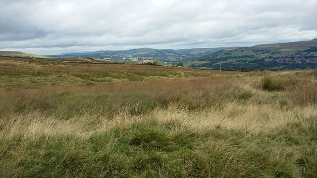
Stubbins Estate, located in Lancashire, is a historic heritage site that holds significant cultural and architectural value. Situated in the picturesque village of Stubbins, this estate is surrounded by stunning natural beauty, boasting rolling hills and lush green landscapes.
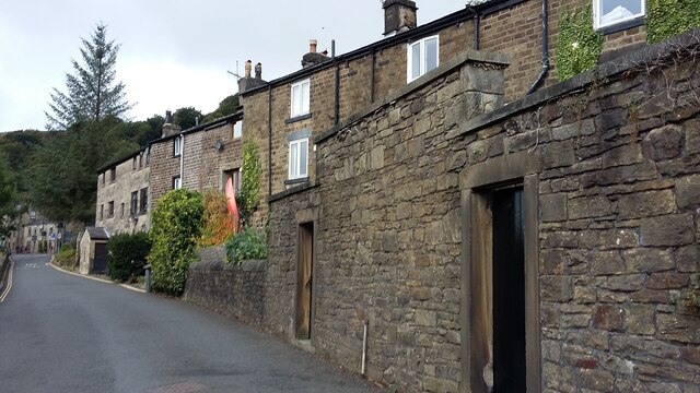
The estate dates back to the 17th century and is known for its impressive manor house, which is a prime example of Jacobean architecture. The manor features intricate detailing, including ornate ceilings, grand fireplaces, and beautiful stained glass windows. It serves as a testament to the wealth and social standing of the estate's previous owners.
In addition to the manor house, Stubbins Estate also includes a number of outbuildings, such as stables and barns, which provide insight into the agricultural practices of the time. These structures have been meticulously preserved and offer visitors a glimpse into the past.
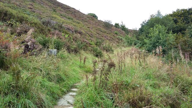
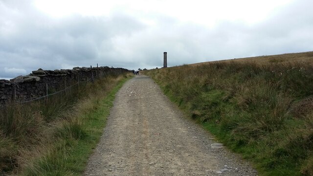
The estate's grounds are equally noteworthy, with well-manicured gardens and a large parkland. The gardens are adorned with colorful flowers, serene ponds, and elegant statues, creating a tranquil retreat for visitors to enjoy. The parkland offers ample space for recreational activities, such as picnics and leisurely walks, allowing visitors to fully immerse themselves in the estate's peaceful ambiance.
Stubbins Estate is recognized as a Grade II listed property, reflecting its historical importance and architectural significance. It attracts history enthusiasts, architectural admirers, and nature lovers alike, who come to appreciate its rich heritage and serene surroundings. Whether exploring the manor house, strolling through the gardens, or simply taking in the breathtaking views, a visit to Stubbins Estate is a memorable experience that transports visitors back in time.
If you have any feedback on the listing, please let us know in the comments section below.
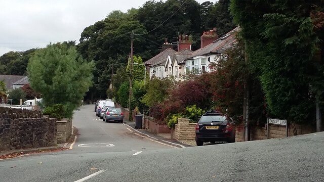
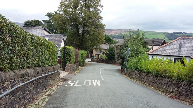
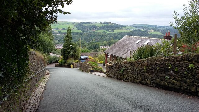
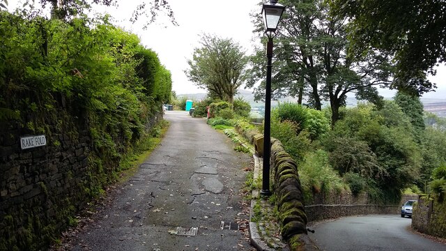
Stubbins Estate Images
Images are sourced within 2km of 53.655/-2.34 or Grid Reference SD7717. Thanks to Geograph Open Source API. All images are credited.
![239 metre spot height, Holcombe At the junction of Chapel Lane and Helmshore Road [B6214], in the centre of the village.](https://s0.geograph.org.uk/geophotos/06/96/36/6963668_61ef1950.jpg)
![Peel Monument, Holcombe Hill, from the south The monument commemorates the politician Sir Robert Peel [1788-1850] who was born in Bury. It was built from local stone and completed in 1852.](https://s2.geograph.org.uk/geophotos/06/96/36/6963690_36097a4c.jpg)
Stubbins Estate is located at Grid Ref: SD7717 (Lat: 53.655, Lng: -2.34)
Unitary Authority: Bury
Police Authority: Greater Manchester
What 3 Words
///nylon.finishing.promoted. Near Ramsbottom, Manchester
Nearby Locations
Related Wikis

Pilgrims' Cross, Holcombe Moor
Pilgrims' Cross, Holcombe Moor, also called Whowell's Cross and Chatterton's Cross, is located on Holcombe Moor near Ramsbottom and Holcombe, Greater Manchester...
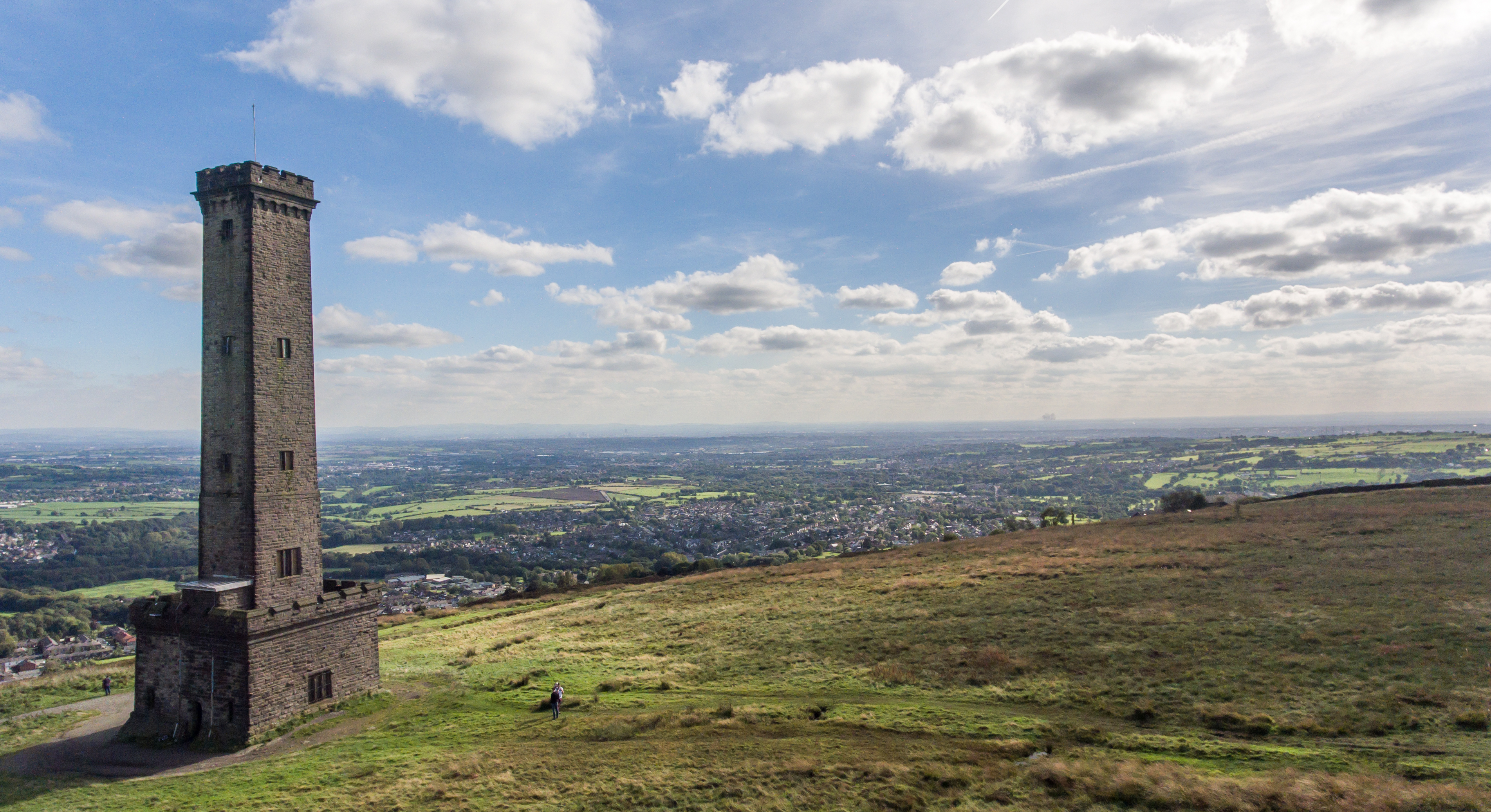
Peel Monument, Ramsbottom
See peel tower for the generic structureThe Peel Monument at Ramsbottom, Lancashire, England, is one of two monuments erected in memory of Bury-born Prime...

Chatterton, Lancashire
Chatterton is a small village in the southern part of the Rossendale Valley, Lancashire, England. It is half a mile north of Ramsbottom town centre on...
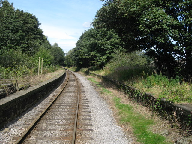
Stubbins railway station
Stubbins railway station served the village of Stubbins, Rossendale, Lancashire, England. Opened by the East Lancashire Railway in 1847 on their line...
Nearby Amenities
Located within 500m of 53.655,-2.34Have you been to Stubbins Estate?
Leave your review of Stubbins Estate below (or comments, questions and feedback).