White Hill
Hill, Mountain in Lancashire
England
White Hill
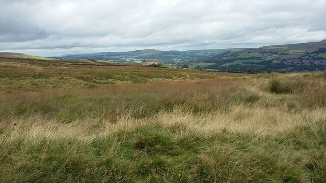
White Hill is a prominent hill located in the county of Lancashire, England. It is situated in the Forest of Bowland Area of Outstanding Natural Beauty, offering breathtaking views of the surrounding countryside. The hill is part of the Bowland Fells, a range of picturesque mountains and hills that form a distinct landscape within the region.
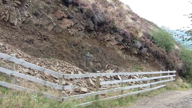
Rising to an elevation of approximately 522 meters (1,713 feet), White Hill stands as one of the highest peaks in the area. Its distinctive name is derived from the white limestone that characterizes its slopes and summit. This geological feature contributes to the unique appearance of the hill, especially during wintertime when the white limestone contrasts with the snow-covered landscape.
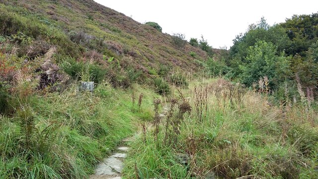
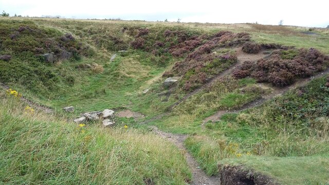
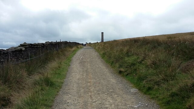
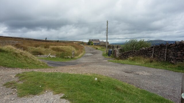
The hill is accessible to hikers and outdoor enthusiasts, with several well-marked trails leading to its summit. These paths traverse through rolling moorland, providing an opportunity to appreciate the diverse flora and fauna of the area. White Hill is particularly popular among birdwatchers, as it serves as a nesting site for several bird species, including the Eurasian curlew and the short-eared owl.
Aside from its natural beauty, White Hill also holds historical significance. It is believed to have been a site of prehistoric settlements, with archaeological evidence suggesting human activity dating back thousands of years. The hill's strategic location also made it an important landmark during the medieval period, serving as a navigational point for travelers and shepherds.
Overall, White Hill in Lancashire offers a captivating blend of natural splendor and historical intrigue, making it a must-visit destination for those seeking to explore the enchanting landscapes of the region.
If you have any feedback on the listing, please let us know in the comments section below.
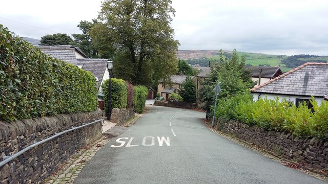
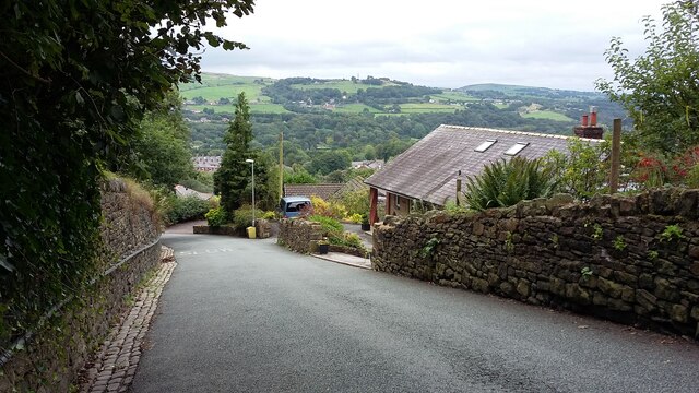
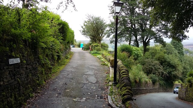
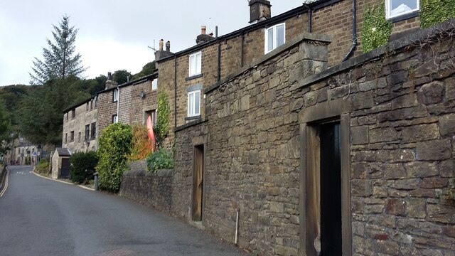
White Hill Images
Images are sourced within 2km of 53.655645/-2.3426707 or Grid Reference SD7717. Thanks to Geograph Open Source API. All images are credited.
![239 metre spot height, Holcombe At the junction of Chapel Lane and Helmshore Road [B6214], in the centre of the village.](https://s0.geograph.org.uk/geophotos/06/96/36/6963668_61ef1950.jpg)
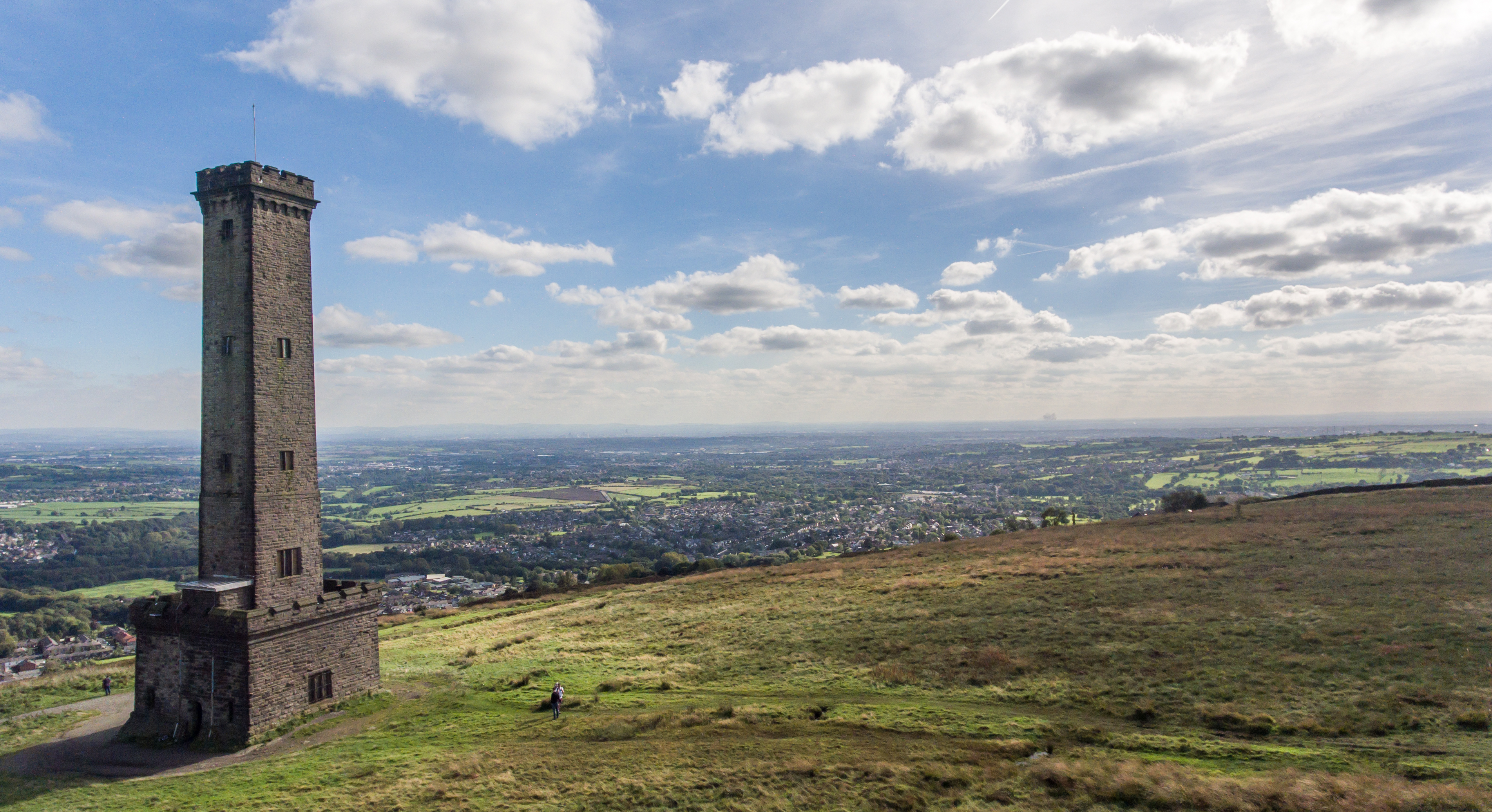
![Peel Monument, Holcombe Hill, from the south The monument commemorates the politician Sir Robert Peel [1788-1850] who was born in Bury. It was built from local stone and completed in 1852.](https://s2.geograph.org.uk/geophotos/06/96/36/6963690_36097a4c.jpg)

White Hill is located at Grid Ref: SD7717 (Lat: 53.655645, Lng: -2.3426707)
Unitary Authority: Bury
Police Authority: Greater Manchester
What 3 Words
///memory.adopters.emeralds. Near Ramsbottom, Manchester
Nearby Locations
Related Wikis

Pilgrims' Cross, Holcombe Moor
Pilgrims' Cross, Holcombe Moor, also called Whowell's Cross and Chatterton's Cross, is located on Holcombe Moor near Ramsbottom and Holcombe, Greater Manchester...
Peel Monument, Ramsbottom
See peel tower for the generic structureThe Peel Monument at Ramsbottom, Lancashire, England, is one of two monuments erected in memory of Bury-born Prime...

Chatterton, Lancashire
Chatterton is a small village in the southern part of the Rossendale Valley, Lancashire, England. It is half a mile north of Ramsbottom town centre on...
Stubbins railway station
Stubbins railway station served the village of Stubbins, Rossendale, Lancashire, England. Opened by the East Lancashire Railway in 1847 on their line...
Nearby Amenities
Located within 500m of 53.655645,-2.3426707Have you been to White Hill?
Leave your review of White Hill below (or comments, questions and feedback).