Harcles Hill
Hill, Mountain in Lancashire
England
Harcles Hill
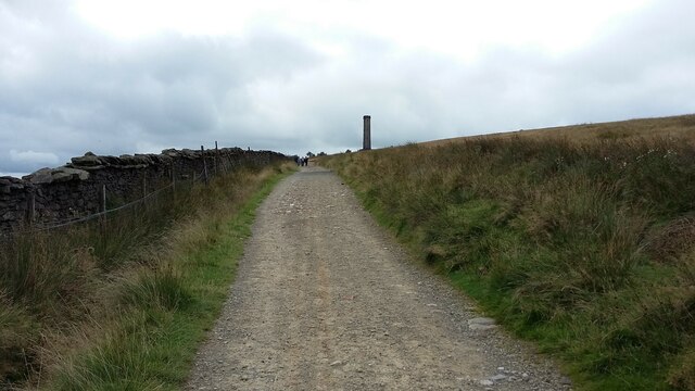
Harcles Hill is a prominent hill located in the county of Lancashire, England. Situated in the rural area of the West Pennine Moors, it forms part of the larger Pennine range. With an elevation of approximately 1,200 feet (366 meters), Harcles Hill offers breathtaking panoramic views of the surrounding landscape.
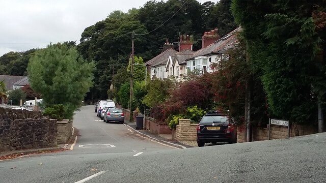
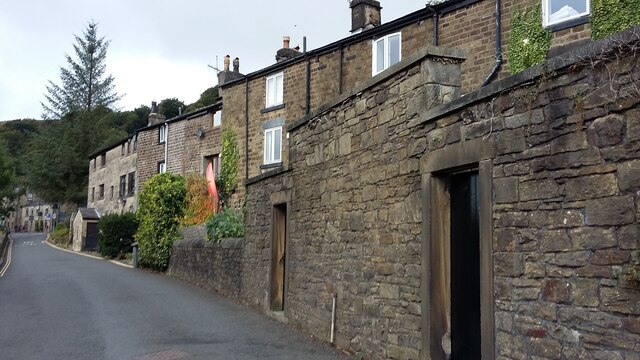
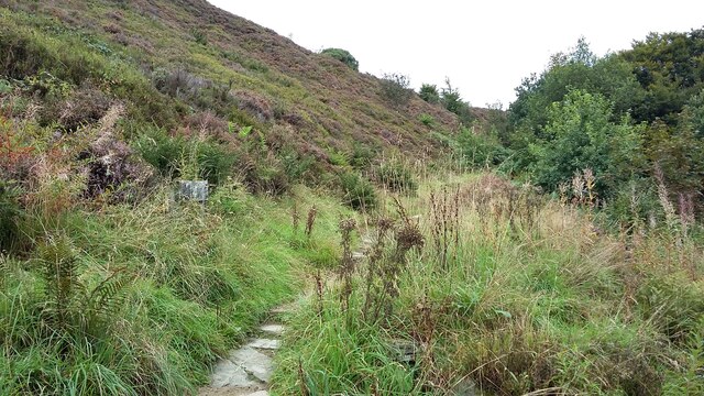
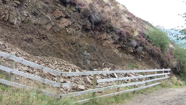
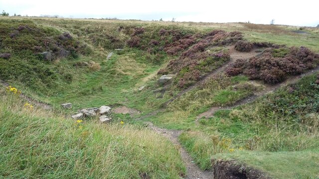
The hill is characterized by its rugged terrain, covered in heather, grasses, and scattered rocks. It is a popular destination for outdoor enthusiasts, attracting hikers, walkers, and nature lovers year-round. The diverse flora and fauna found on Harcles Hill contribute to its appeal, with numerous species of birds, small mammals, and wildflowers thriving in this natural habitat.
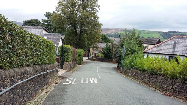
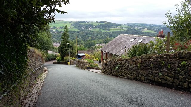
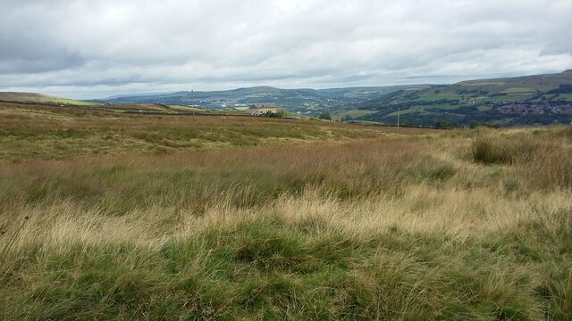
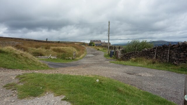
Visitors can access Harcles Hill via several footpaths that wind through the moorland, providing opportunities to explore and discover its hidden gems. The hill's summit offers an unparalleled vista, allowing visitors to admire the vast expanse of Lancashire, with views extending as far as the nearby towns of Bolton and Wigan.
Despite its remote location, Harcles Hill is easily accessible by car, with parking available at designated spots nearby. The hill's proximity to other natural attractions, such as Rivington Pike and Winter Hill, makes it an ideal addition to any outdoor adventure in the region.
Harcles Hill, with its striking natural beauty and tranquil surroundings, provides a serene escape from the hustle and bustle of everyday life, offering a chance to reconnect with nature and immerse oneself in the stunning Lancashire countryside.
If you have any feedback on the listing, please let us know in the comments section below.
Harcles Hill Images
Images are sourced within 2km of 53.650544/-2.3412526 or Grid Reference SD7717. Thanks to Geograph Open Source API. All images are credited.
![239 metre spot height, Holcombe At the junction of Chapel Lane and Helmshore Road [B6214], in the centre of the village.](https://s0.geograph.org.uk/geophotos/06/96/36/6963668_61ef1950.jpg)
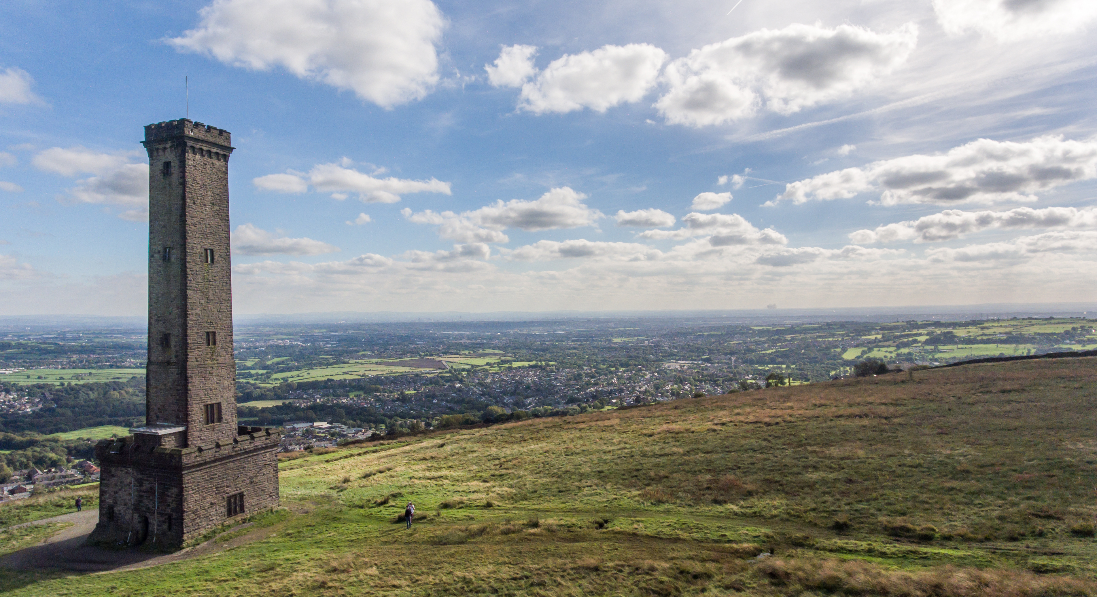
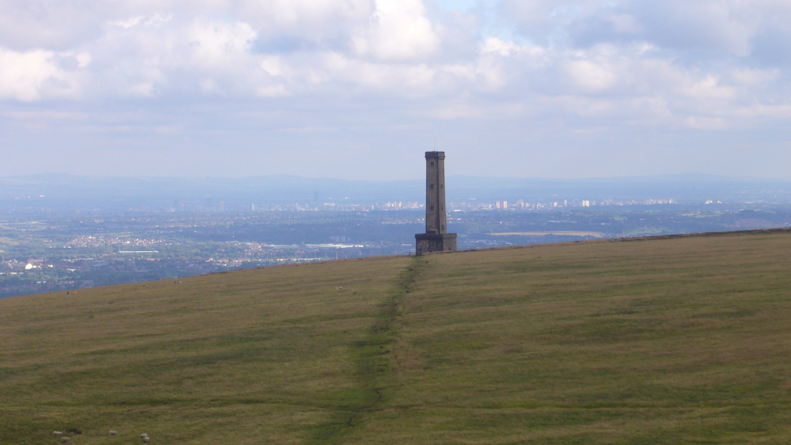
![Peel Monument, Holcombe Hill, from the south The monument commemorates the politician Sir Robert Peel [1788-1850] who was born in Bury. It was built from local stone and completed in 1852.](https://s2.geograph.org.uk/geophotos/06/96/36/6963690_36097a4c.jpg)
Harcles Hill is located at Grid Ref: SD7717 (Lat: 53.650544, Lng: -2.3412526)
Unitary Authority: Bury
Police Authority: Greater Manchester
What 3 Words
///nosedive.prettiest.videos. Near Ramsbottom, Manchester
Nearby Locations
Related Wikis
Peel Monument, Ramsbottom
See peel tower for the generic structureThe Peel Monument at Ramsbottom, Lancashire, England, is one of two monuments erected in memory of Bury-born Prime...

Pilgrims' Cross, Holcombe Moor
Pilgrims' Cross, Holcombe Moor, also called Whowell's Cross and Chatterton's Cross, is located on Holcombe Moor near Ramsbottom and Holcombe, Greater Manchester...
Holcombe, Greater Manchester
Holcombe is a village in Ramsbottom ward, Metropolitan Borough of Bury, in Greater Manchester, England. It is situated south of Haslingden, east of Edgworth...

Darul Uloom Bury
Darul Uloom Al Arabiya Al Islamiyya (Arabic: دار العلوم العربية الإسلامية), better known as Darul Uloom Bury, was established in 1979 and is the oldest...
Nearby Amenities
Located within 500m of 53.650544,-2.3412526Have you been to Harcles Hill?
Leave your review of Harcles Hill below (or comments, questions and feedback).