Stroud Commons

Heritage Site in Gloucestershire Stroud

England

Stroud Commons

Old Milestone by A46, Whitecroft The Milestone is located by former garage, end of wall on the side of the road.  Parish of Nailsworth (Stroud District). Stone post (plate lost), Nailsworth plate design, erected by the Coldharbour Turnpike trust in the 19th Century. An earlier photograph can be found here: <a title="https://www.geograph.org.uk/photo/6663990" href="https://www.geograph.org.uk/photo/6663990">Link</a> 

Inscription once read:-
Gloucester 14 / Bath 25  

Milestone Society National ID: GL_BAGL25
Old Milestone by A46, Whitecroft Credit: Roadside Relics

Stroud Commons, located in Gloucestershire, is a historic site of significant cultural and ecological importance. The commons consist of a vast expanse of open grassland and woodland covering approximately 350 hectares, making it one of the largest commons in the region.

The site has a rich history, dating back to ancient times when it was used for grazing livestock and agriculture. Over the centuries, the commons became a gathering place for local communities, hosting events such as fairs and markets. Today, it continues to serve as a recreational area for residents and visitors alike.

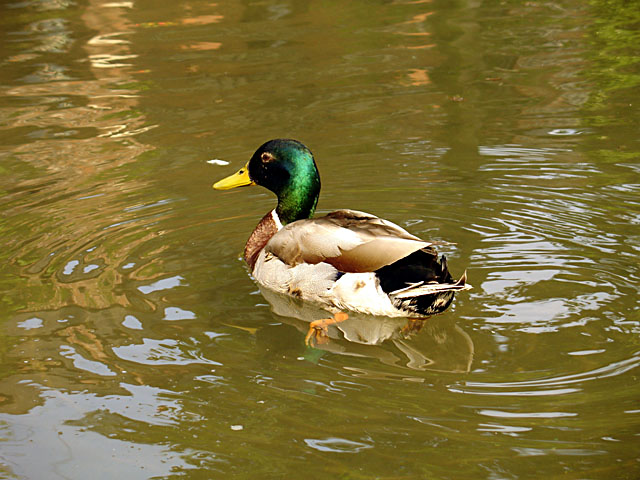
Stroud Commons is renowned for its diverse and abundant flora and fauna. The grassland supports a wide range of plant species, including rare and endangered ones. Wildflowers, such as orchids and cowslips, can be found blooming during the spring and summer months, creating a colorful and picturesque landscape. Additionally, the woodlands provide a habitat for various bird species, including woodpeckers and owls, as well as mammals like foxes and deer.

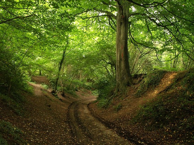
The commons offer numerous walking paths and trails, allowing visitors to explore the natural beauty of the area. It also boasts several historical landmarks, including ancient burial mounds and remnants of Iron Age settlements, providing insight into the area's past.

Stroud Commons is not only a site of natural and historical interest but also plays a vital role in maintaining biodiversity and providing a recreational space for the local community. Its preservation and protection are of paramount importance to ensure its continued ecological and cultural significance for future generations.

If you have any feedback on the listing, please let us know in the comments section below.

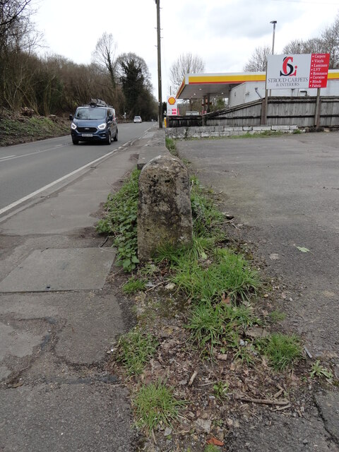
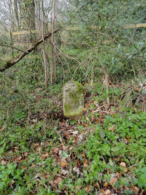
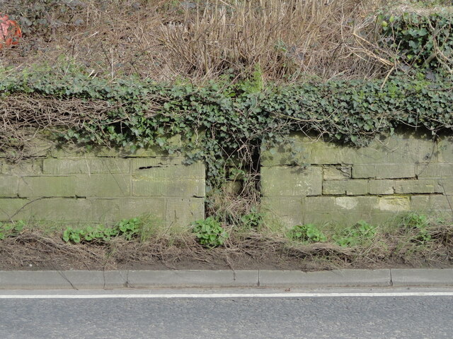
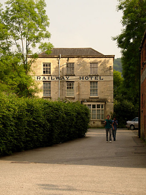
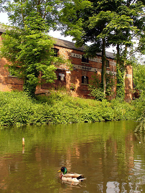
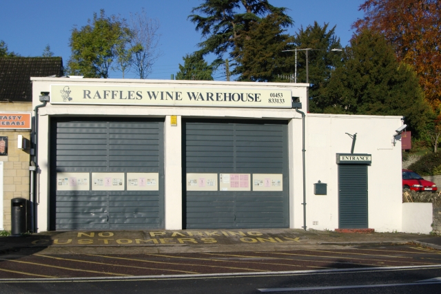
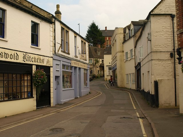
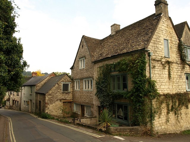
Stroud Commons Images

Images are sourced within 2km of 51.708/-2.218 or Grid Reference SO8501. Thanks to Geograph Open Source API. All images are credited.

Old Milestone by A46, Whitecroft The Milestone is located by former garage, end of wall on the side of the road.  Parish of Nailsworth (Stroud District). Stone post (plate lost), Nailsworth plate design, erected by the Coldharbour Turnpike trust in the 19th Century. An earlier photograph can be found here: <a title="https://www.geograph.org.uk/photo/6663990" href="https://www.geograph.org.uk/photo/6663990">Link</a> 

Inscription once read:-
Gloucester 14 / Bath 25  

Milestone Society National ID: GL_BAGL25
Old Milestone by A46, Whitecroft
The Milestone is located by former garage, end of wall on the side of the road.  Parish of Nailsworth (Stroud District). Stone post (plate lost), Nailsworth plate design, erected by the Coldharbour Turnpike trust in the 19th Century. An earlier photograph can be found here: Link  Inscription once read:- Gloucester 14 / Bath 25 Milestone Society National ID: GL_BAGL25
Old Milestone by UC road, on a slight bank on Bear Hill, opposite the entrance to Rodborough Manor The Milestone is located by the road on the side of the road.  Parish of Rodborough (Stroud District). Carved stone post, Nailsworth plate design, erected by the Nailsworth, Woodchester & Dudbridge Turnpike trust in the 19th Century.  

Inscription reads:-  
(To / Stroud / 2 )/ Miles / To London / CII Miles  

Milestone Society National ID: GL_BAGL26a
Old Milestone by UC road, on a slight bank on Bear Hill, opposite the entrance to Rodborough Manor
The Milestone is located by the road on the side of the road.  Parish of Rodborough (Stroud District). Carved stone post, Nailsworth plate design, erected by the Nailsworth, Woodchester & Dudbridge Turnpike trust in the 19th Century. Inscription reads:- (To / Stroud / 2 )/ Miles / To London / CII Miles Milestone Society National ID: GL_BAGL26a
Old Milestone by A46, Rooksmoor The Milestone is located by the road on the side of the road.  Parish of Rodborough (Stroud District). Stone post (plate lost), Nailsworth plate design, erected by the Nailsworth, Woodchester & Dudbridge Turnpike trust in the 19th Century.  

Inscription once read:
(Gloucester 12 / Bath 27)

Milestone Society National ID: GL_BAGL27
Old Milestone by A46, Rooksmoor
The Milestone is located by the road on the side of the road.  Parish of Rodborough (Stroud District). Stone post (plate lost), Nailsworth plate design, erected by the Nailsworth, Woodchester & Dudbridge Turnpike trust in the 19th Century. Inscription once read: (Gloucester 12 / Bath 27) Milestone Society National ID: GL_BAGL27
Egypt Mill The stream that used to drive the water wheel when the Egypt Mill was a corn mill
Egypt Mill
The stream that used to drive the water wheel when the Egypt Mill was a corn mill
Inside Egypt Mill 450 years old, the Egypt Mill is now a hotel and diners can watch the waterwheel turning whilst eating a first class meal
Inside Egypt Mill
450 years old, the Egypt Mill is now a hotel and diners can watch the waterwheel turning whilst eating a first class meal
Egypt Mill Once owned by the Faroah family, we can see why this 450 year old building was called Egypt Mill.  It is now a hotel, but the water wheel still turns in the bar and there are various other trappings of a corn mill to be seen.
Egypt Mill
Once owned by the Faroah family, we can see why this 450 year old building was called Egypt Mill. It is now a hotel, but the water wheel still turns in the bar and there are various other trappings of a corn mill to be seen.
Nailsworth (Glos) St George's Church
Nailsworth Clock Memorial clock tower in village centre
Nailsworth Clock
Memorial clock tower in village centre
Nailsworth Fire Station Nailsworth Fire Station, Station Road, Nailsworth, Gloucestershire, with their two M.A.N. fire appliances.
Nailsworth Fire Station
Nailsworth Fire Station, Station Road, Nailsworth, Gloucestershire, with their two M.A.N. fire appliances.
Nailsworth Town Hall The town hall, made of local Cotswold stone, stands on the old Nailsworth - Bristol road.
Nailsworth Town Hall
The town hall, made of local Cotswold stone, stands on the old Nailsworth - Bristol road.
New development in Worley A row of new houses, built in the traditional Cotswold stone, in the Worley area of Nailsworth.  The view is across a deep valley which carries Miry Brook.
New development in Worley
A row of new houses, built in the traditional Cotswold stone, in the Worley area of Nailsworth. The view is across a deep valley which carries Miry Brook.
Railway Hotel, Nailsworth This Grade II listed building is now privately owned. The building is shown on a mid 19th century print, predating the arrival of the railway in Nailsworth.
Railway Hotel, Nailsworth
This Grade II listed building is now privately owned. The building is shown on a mid 19th century print, predating the arrival of the railway in Nailsworth.
Upper Pond at Egypt Mill In the background is an old industrial building that looks as if it has been converted into residential accommodation.
Upper Pond at Egypt Mill
In the background is an old industrial building that looks as if it has been converted into residential accommodation.
Mallard drake on the pond at Egypt Mill
Nailsworth old fire station Nailsworth old fire station, Old Market, Nailsworth, Gloucestershire - now a wine merchant's shop.
Nailsworth old fire station
Nailsworth old fire station, Old Market, Nailsworth, Gloucestershire - now a wine merchant's shop.
Bridleway to Nailsworth A sunken bridleway curves away from a path as it descends through woodland towards Wood Lane.
Bridleway to Nailsworth
A sunken bridleway curves away from a path as it descends through woodland towards Wood Lane.
Market Street, Nailsworth Seen from the junction with Old Market. The street bends sharply round to the left; ahead, at the junction with Brewery Lane on the right, is Butcher's Hill.
Market Street, Nailsworth
Seen from the junction with Old Market. The street bends sharply round to the left; ahead, at the junction with Brewery Lane on the right, is Butcher's Hill.
Horsley Road, Nailsworth Old stone houses and cottages by the lane from Horsley as it drops towards thrtown centre.
Horsley Road, Nailsworth
Old stone houses and cottages by the lane from Horsley as it drops towards thrtown centre.
Show me another place!

Stroud Commons is located at Grid Ref: SO8501 (Lat: 51.708, Lng: -2.218)

Administrative County: Gloucestershire

District: Stroud

Police Authority: Gloucestershire

What 3 Words

///onwards.unusable.lasts. Near Nailsworth, Gloucestershire

Related Wikis

Amberley, Gloucestershire

Amberley, Gloucestershire is a small village about two miles south of Stroud in Gloucestershire, England. It is situated on the edge of Minchinhampton...

Minchinhampton Common

Minchinhampton Common (grid reference SO855010) is a 182.7-hectare (451-acre) biological and geological Site of Special Scientific Interest in Gloucestershire...

Neu-Lindsey Nature Reserve

Neu-Lindsey Nature Reserve (grid reference SO845014) is a 0.4-hectare (0.99-acre) nature reserve in Gloucestershire. The site is listed in the ‘Stroud...

Box, Gloucestershire

Box is a small village in Gloucestershire, England. It is in the civil parish of Minchinhampton, and is located 3 miles (4.8 km) south of Stroud and 10...

Nearby Amenities

Located within 500m of 51.708,-2.218
Amberley
Is In: Gloucestershire, England, UK
Place: village
Postal Code: GL5 5
Wikidata: Q4741355
Lat/Long: 51.7101307/-2.2185467
Restaurant
The Amberley Inn
Contact Email: enquiries@theamberleyinn.co.uk
Contact Phone: +44 (0)1453 872565
Contact Website: https://www.theamberleyinn.co.uk/
Fhrs Id: 155075
Tourism: hotel
Lat/Long: 51.7105372/-2.2185673
Pinfarthings
Is In: Gloucestershire, England, UK
Place: hamlet
Lat/Long: 51.7071444/-2.2190762
Bus Stop
Theescombe Hill
Naptan AtcoCode: 1600GLS757
Naptan Bearing: S
Naptan CommonName: Theescombe Hill
Naptan NaptanCode: glodgadj
Naptan PlusbusZoneRef: STRUD
Naptan Street: Theescombe Lane
Naptan Verified: no
Source: naptan_import
Lat/Long: 51.7063712/-2.2235493
Bus Stop
Theescombe Hill
Naptan AtcoCode: 1600GLS758
Naptan Bearing: N
Naptan CommonName: Theescombe Hill
Naptan Indicator: Opp
Naptan NaptanCode: glodgada
Naptan PlusbusZoneRef: STRUD
Naptan Street: Theescombe Lane
Naptan Verified: no
Source: naptan_import
Lat/Long: 51.7066856/-2.2236956
Post Box
Collection Times: Mo-Fr 09:00; Sa 07:00; Su off
Drive Through: no
Operator: Royal Mail
Operator Wikidata: Q638098
Post Box Type: wall
Postal Code: GL5
Ref: GL5 58D
Royal Cypher: VR
Royal Cypher Wikidata: Q33102356
Source: survey
Lat/Long: 51.7092319/-2.2180005
Place Of Worship
Holy Trinity
Religion: christian
Lat/Long: 51.7088185/-2.2176627
Bus Stop
Theescombe Hill
Naptan AtcoCode: 1600GLA06094
Naptan Bearing: N
Naptan CommonName: Theescombe Hill
Naptan NaptanCode: glogpdta
Naptan PlusbusZoneRef: STRUD
Naptan Street: Pinfarthings Rd
Naptan Verified: no
Source: naptan_import
Lat/Long: 51.7080076/-2.2203618
Barrier: stile
Foot: yes
Lat/Long: 51.7070505/-2.2247376
Post Box
Brand: Royal Mail
Brand Wikidata: Q638098
Collection Times: Mo-Fr 16:15; Sa 07:45
Operator: Royal Mail
Operator Wikidata: Q638098
Post Box Type: lamp
Royal Cypher: EIIR
Royal Cypher Wikidata: Q33102113
Lat/Long: 51.7066804/-2.2235657
Bench
Lat/Long: 51.7047215/-2.2164303
Culver Hill
Ele: 199
Natural: peak
Lat/Long: 51.7096239/-2.2124461
Post Box
Collection Times: Mo-Fr 16:30; Sa 10:00; Su off
Drive Through: no
Operator: Royal Mail
Operator Wikidata: Q638098
Post Box Type: wall
Ref: GL5 101
Royal Cypher: GR
Royal Cypher Wikidata: Q33102273
Source: survey
Lat/Long: 51.7113793/-2.2181915
Public Bookcase
Amberley Phone Box Library
Booth: K6
Disused Amenity: telephone
Man Made: telephone_box
Public Bookcase Type: phone_box
Lat/Long: 51.7114427/-2.2180811
Barrier: bollard
Bollard: fixed
Lat/Long: 51.7121498/-2.2194192
Bench
Backrest: yes
Material: wood
Lat/Long: 51.7115337/-2.2179995
Waste Basket
Waste: dog_excrement
Lat/Long: 51.7115331/-2.2178649
Barrier: stile
Bicycle: no
Foot: designated
Horse: no
Material: wood
Motor Vehicle: no
Stile: stepover
Lat/Long: 51.704399/-2.2213015
Barrier: stile
Bicycle: no
Foot: yes
Horse: no
Material: stone
Motor Vehicle: no
Stile: stepover
Website: https://www.geograph.org.uk/photo/7323233
Lat/Long: 51.7040289/-2.2200802
Barrier: stile
Bicycle: no
Description: Also a metal kissing gate
Foot: designated
Horse: no
Material: stone
Motor Vehicle: no
Stile: stepover
Lat/Long: 51.705013/-2.2228689
Noexit: yes
Lat/Long: 51.7116508/-2.2197227
Barrier: bollard
Bollard: fixed
Lat/Long: 51.711746/-2.2194511
Barrier: bollard
Bollard: fixed
Lat/Long: 51.7112819/-2.2188161
Barrier: bollard
Bollard: fixed
Lat/Long: 51.7119676/-2.2196114
Restaurant
The Old Lodge
Contact Website: https://www.food-club.com/pubs/the-old-lodge
Fhrs Id: 154374
Opening Hours: Mo-Sa 08:00-23:00; Su 08:00-22:00
Operator: Cotswold Food Club
Lat/Long: 51.7059918/-2.2130846
Charging Station
Access: customers
Bicycle: no
Bus: no
Capacity: 2
Fee: yes
Hgv: no
Motorcar: yes
Operator: Project EV
Payment App: no
Payment Cards: yes
Payment Cash: no
Payment Membership Card: no
Payment Qr Code: no
Ref: 14494;14998
Scooter: no
Socket Type2: 2
Socket Type2 Output: 7 kW
Lat/Long: 51.7105948/-2.2187039
Historic: memorial
Lat/Long: 51.7104667/-2.2178298
Bench
Backrest: yes
Material: wood
Lat/Long: 51.7105386/-2.2170639
Bench
Backrest: yes
Material: wood
Lat/Long: 51.7102095/-2.2168994
The data included in this document is from www.openstreetmap.org. The data is made available under ODbL.

Have you been to Stroud Commons?

Leave your review of Stroud Commons below (or comments, questions and feedback).