Amberley
Settlement in Gloucestershire Stroud
England
Amberley
Amberley is a charming village situated in the county of Gloucestershire, England. Nestled in the picturesque Stroud Valley, it is located just four miles southwest of Stroud town. The village is known for its breathtaking natural beauty and tranquil atmosphere, making it a popular destination for nature enthusiasts and those seeking a peaceful retreat.
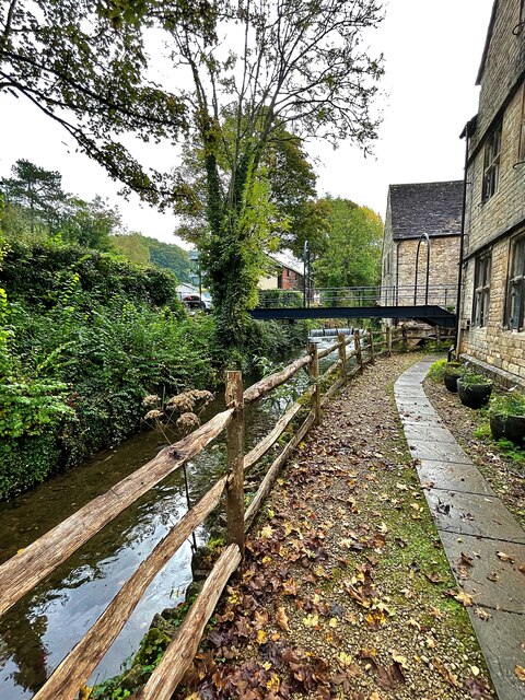
One of the notable features of Amberley is its stunning surroundings. Surrounded by rolling hills and lush greenery, the village offers breathtaking views of the Cotswold countryside. The nearby Woodchester Park, with its expansive lakes and woodland trails, provides ample opportunities for outdoor activities such as hiking and birdwatching.
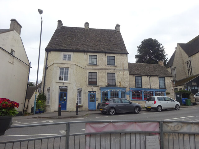
The village itself is characterized by its traditional Cotswold stone cottages, which add to its quintessential English charm. The narrow streets are lined with beautifully maintained gardens and flower beds, creating a picturesque setting. Amberley is also home to a small but welcoming community, with a village hall and a local pub serving as the social hub.
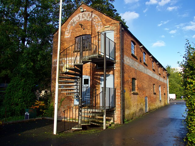
For history enthusiasts, Amberley offers fascinating glimpses into the past. The village is home to the Amberley Museum and Heritage Centre, which showcases the local industrial history. Visitors can explore the exhibits on traditional crafts, such as blacksmithing and pottery, as well as learn about the village's former role in the cloth industry.
In summary, Amberley is a delightful village in Gloucestershire, offering a tranquil escape amidst stunning natural surroundings. Its charming architecture, warm community, and rich history make it a must-visit destination for those seeking an authentic Cotswold experience.
If you have any feedback on the listing, please let us know in the comments section below.
Amberley Images
Images are sourced within 2km of 51.711718/-2.216349 or Grid Reference SO8501. Thanks to Geograph Open Source API. All images are credited.


Amberley is located at Grid Ref: SO8501 (Lat: 51.711718, Lng: -2.216349)
Administrative County: Gloucestershire
District: Stroud
Police Authority: Gloucestershire
What 3 Words
///dunk.operation.drip. Near Nailsworth, Gloucestershire
Nearby Locations
Related Wikis

Amberley, Gloucestershire
Amberley, Gloucestershire is a small village about two miles south of Stroud in Gloucestershire, England. It is situated on the edge of Minchinhampton...

Minchinhampton Common
Minchinhampton Common (grid reference SO855010) is a 182.7-hectare (451-acre) biological and geological Site of Special Scientific Interest in Gloucestershire...

Neu-Lindsey Nature Reserve
Neu-Lindsey Nature Reserve (grid reference SO845014) is a 0.4-hectare (0.99-acre) nature reserve in Gloucestershire. The site is listed in the ‘Stroud...

Convent of Poor Clares, Woodchester
A former Convent of Poor Clares is located in Woodchester, near Stroud in Gloucestershire. The convent was home to nuns of the Poor Clares order from 1850...

Woodchester
Woodchester is a Gloucestershire village in the Nailsworth (or Woodchester) Valley, a valley in the South Cotswolds in England, running southwards from...

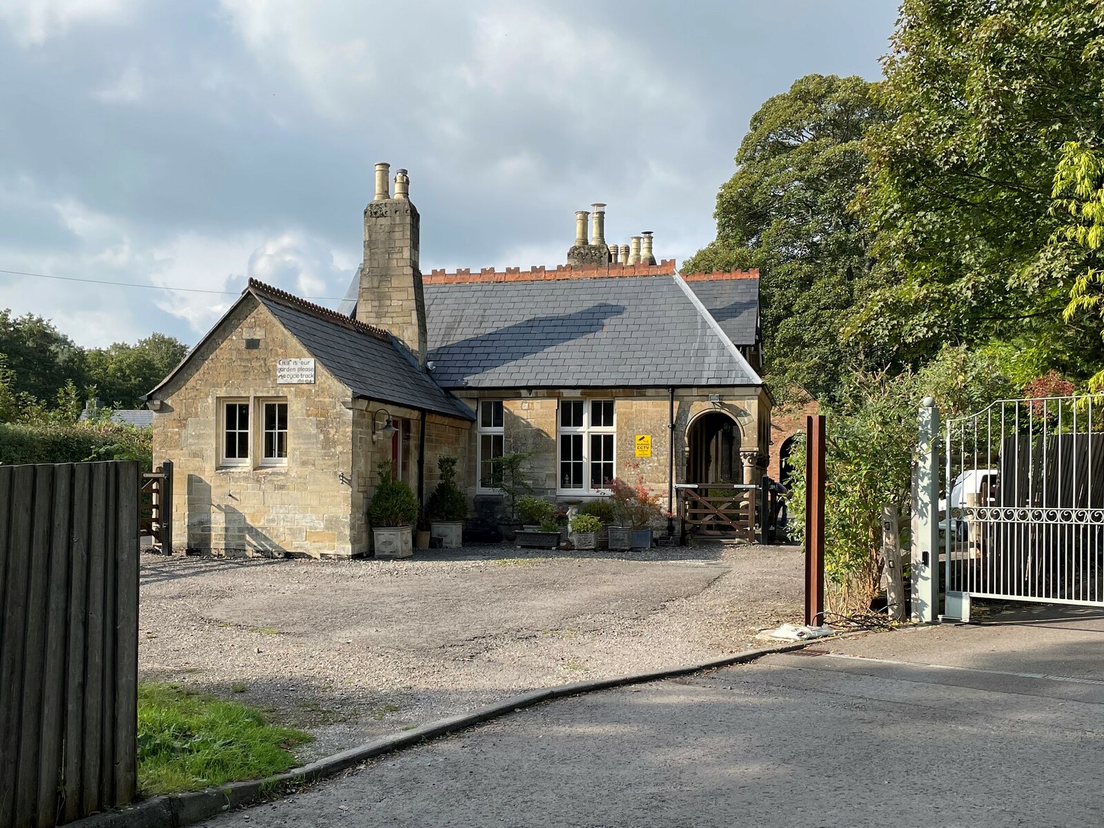
Woodchester railway station
Woodchester railway station served the villages of Woodchester and Amberley in Gloucestershire, England. It was on the 9.3 km-long Stonehouse and Nailsworth...

Box, Gloucestershire
Box is a small village in Gloucestershire, England. It is in the civil parish of Minchinhampton, and is located 3 miles (4.8 km) south of Stroud and 10...
Nailsworth railway station
Nailsworth railway station served the town of Nailsworth in Gloucestershire, England and was the terminus of the 9.3 km-long Stonehouse and Nailsworth...
Nearby Amenities
Located within 500m of 51.711718,-2.216349Have you been to Amberley?
Leave your review of Amberley below (or comments, questions and feedback).