Minchinhampton Common

Downs, Moorland in Gloucestershire Stroud

England

Minchinhampton Common

Forner coal merchant's building at Egypt Mill Now converted to provide accommodation for the Egypt Mill Hotel
Forner coal merchant's building at Egypt Mill Credit: Graham Hogg

Minchinhampton Common is a vast expanse of open land located in the county of Gloucestershire, England. Extending over 600 acres, the common is situated on the western edge of the Cotswold Hills and offers breathtaking panoramic views of the surrounding countryside.

The common is characterized by its undulating terrain, consisting of gentle slopes, valleys, and rolling hills. Its unique landscape is a result of geological processes that occurred millions of years ago, resulting in layers of limestone and clay. This geological composition supports a diverse range of flora and fauna, making the common a haven for nature enthusiasts and conservationists.

Covered in a patchwork of heather, gorse, and grasses, Minchinhampton Common is a designated Site of Special Scientific Interest (SSSI) due to its ecological significance. The heathland habitat provides a home for various rare and endangered species, including the small blue butterfly and the Dartford warbler. Additionally, the common is rich in birdlife, with species such as skylarks and stonechats frequenting the area.

Aside from its natural beauty, Minchinhampton Common holds historical and cultural importance. The common has been grazed by free-roaming cattle for centuries, and this tradition continues to this day. The sight of cows leisurely grazing against the backdrop of the rolling hills has become an iconic image of the common.

With its wide open spaces, Minchinhampton Common offers ample opportunities for recreational activities. Visitors can enjoy walking, hiking, and horse riding on the extensive network of footpaths and bridleways that crisscross the area. The common also hosts regular events, such as the annual summer fayre, attracting locals and tourists alike.

In conclusion, Minchinhampton Common is a remarkable natural and cultural asset in Gloucestershire. Its diverse wildlife, stunning landscapes, and recreational opportunities make it a cherished destination for nature lovers and outdoor enthusiasts.

If you have any feedback on the listing, please let us know in the comments section below.

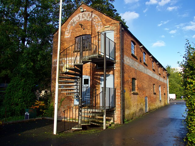
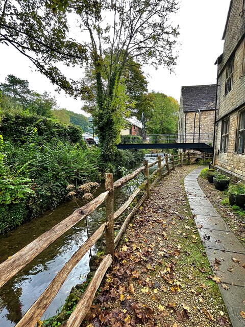
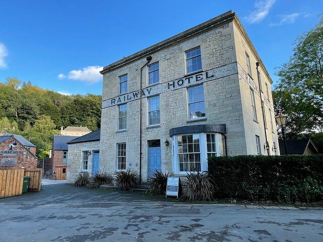
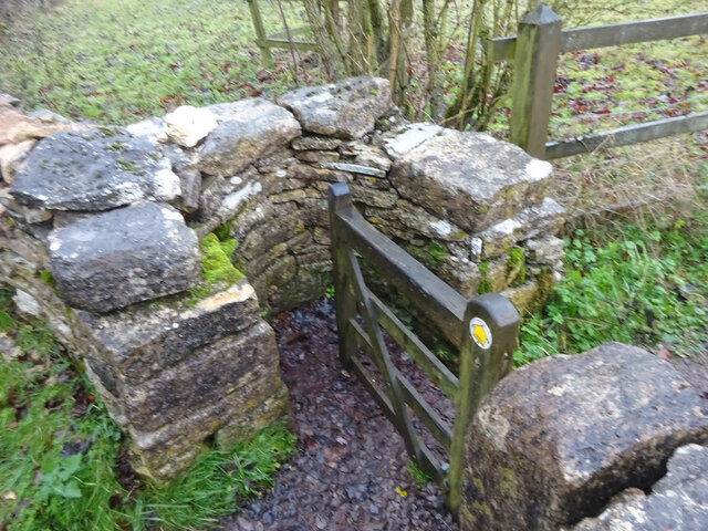
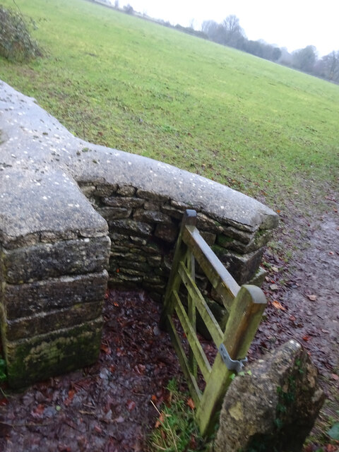
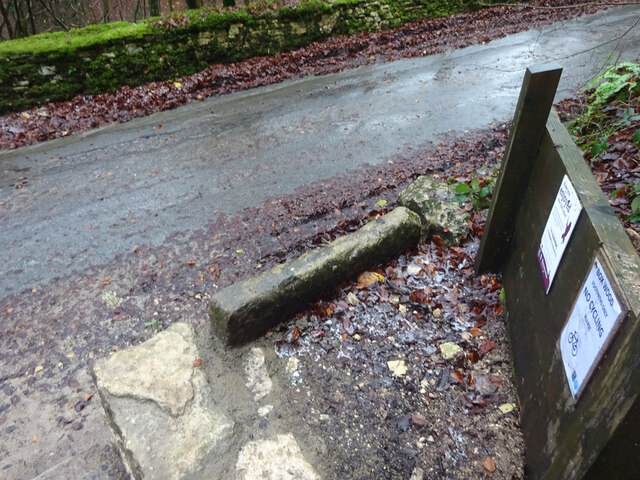
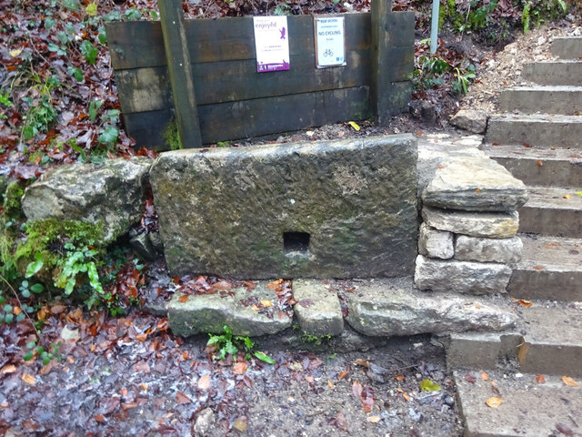
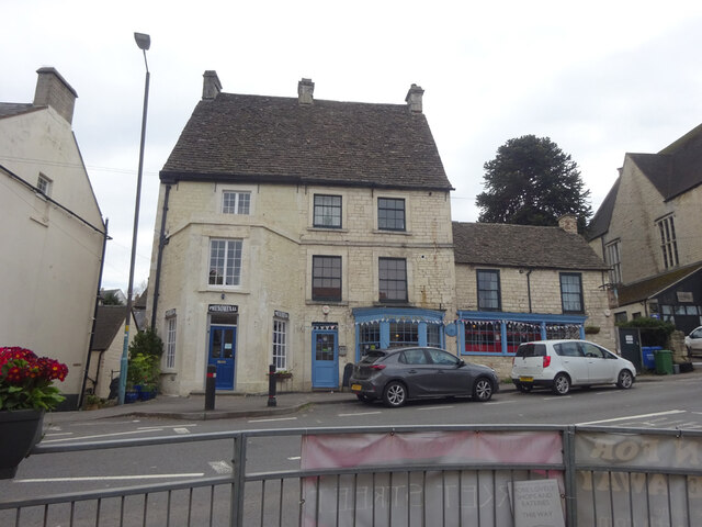
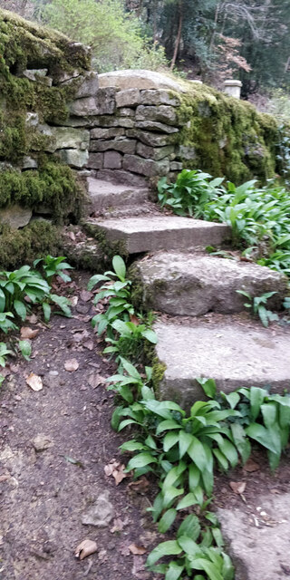
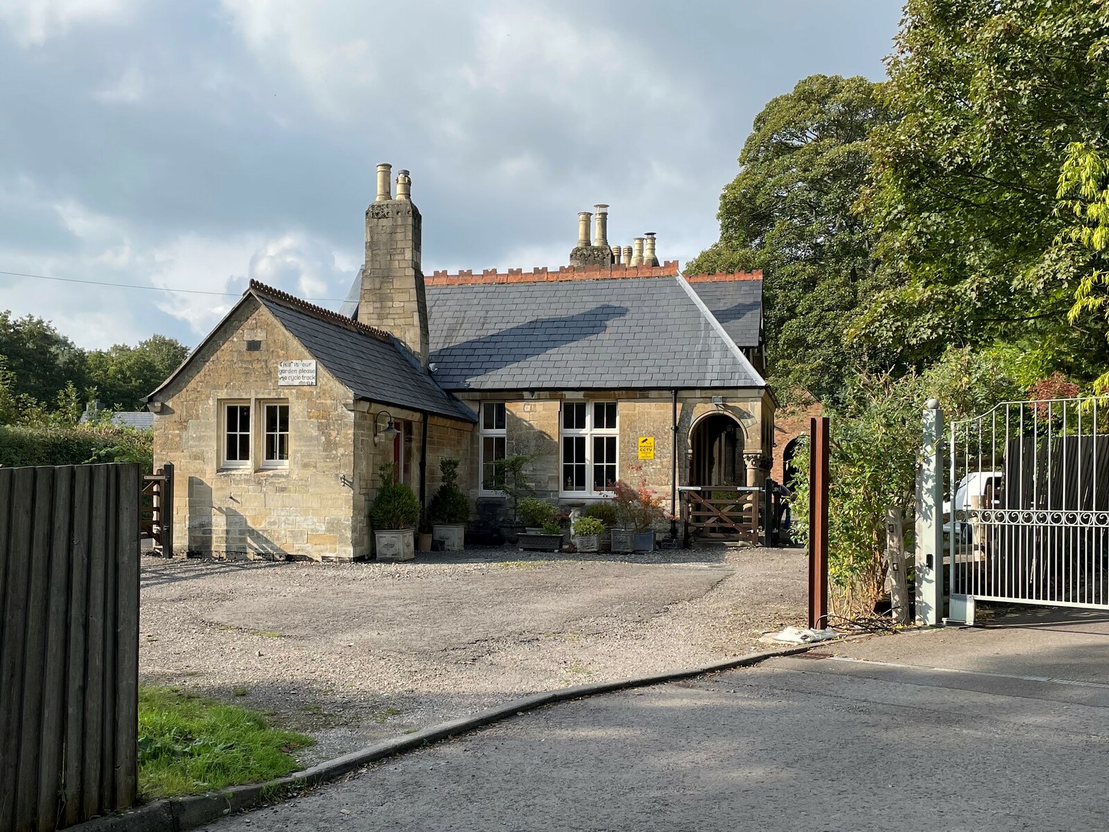
Minchinhampton Common Images

Images are sourced within 2km of 51.711084/-2.2090456 or Grid Reference SO8501. Thanks to Geograph Open Source API. All images are credited.

Forner coal merchant's building at Egypt Mill Now converted to provide accommodation for the Egypt Mill Hotel
Forner coal merchant's building at Egypt Mill
Now converted to provide accommodation for the Egypt Mill Hotel
Nailsworth Stream at Egypt Mill Hotel The hotel is a conversion of a former textile mill, one of many in the Nailsworth valley.
Nailsworth Stream at Egypt Mill Hotel
The hotel is a conversion of a former textile mill, one of many in the Nailsworth valley.
The Railway Hotel, Nailsworth The railway here closed in 1966 though passenger services were terminated in 1949 and the grade II listed hotel now provides luxury holiday apartments.
The Railway Hotel, Nailsworth
The railway here closed in 1966 though passenger services were terminated in 1949 and the grade II listed hotel now provides luxury holiday apartments.
Stone Kissing Gate Leading from Box towards equine fields.
Stone Kissing Gate
Leading from Box towards equine fields.
Stone Kissing Gate Between fields on the equine establishment.
Stone Kissing Gate
Between fields on the equine establishment.
Stone Stile, Devil's Elbow As the footpath leaves Box Wood. The view from the road is <a href="https://www.geograph.org.uk/photo/7038355">ST8699 : Stone Stile, Devil's Elbow</a>.
Stone Stile, Devil's Elbow
As the footpath leaves Box Wood. The view from the road is ST8699 : Stone Stile, Devil's Elbow.
Stone Stile, Devil's Elbow As the footpath leaves Box Wood. The view from the footpath is <a href="https://www.geograph.org.uk/photo/7038353">ST8699 : Stone Stile, Devil's Elbow</a>.
Stone Stile, Devil's Elbow
As the footpath leaves Box Wood. The view from the footpath is ST8699 : Stone Stile, Devil's Elbow.
Toll House, Nailsworth Currently occupied by Phenominal gift shop and the Village Inn. Used for the Nailsworth, Woodchester & Dudbridge Turnpike Trust

Milestone Society National ID: GL.NAI03
Toll House, Nailsworth
Currently occupied by Phenominal gift shop and the Village Inn. Used for the Nailsworth, Woodchester & Dudbridge Turnpike Trust Milestone Society National ID: GL.NAI03
Stone Stile, Nailsworth On Gloucestershire footpath ZNA39 off a road known as "The Devils Elbow". I leads through a continuation woods going SE, "Box Wood" is on the NW side of the road. This view is looking up the steep steps from below, the view from the road is <a href="https://www.geograph.org.uk/photo/75661">H4774 : Killyclogher Burn, Killyclogher</a>.
Stone Stile, Nailsworth
On Gloucestershire footpath ZNA39 off a road known as "The Devils Elbow". I leads through a continuation woods going SE, "Box Wood" is on the NW side of the road. This view is looking up the steep steps from below, the view from the road is H4774 : Killyclogher Burn, Killyclogher.
Stone Stile, Nailsworth On Gloucestershire footpath ZNA39 off a road known as "The Devils Elbow". It leads through a continuation woods going SE, "Box Wood" is on the NW side of the road. This view from the road looks East, the view looking up the steep steps from below is <a href="https://www.geograph.org.uk/photo/7275660">ST8699 : Stone Stile, Nailsworth</a>.
Stone Stile, Nailsworth
On Gloucestershire footpath ZNA39 off a road known as "The Devils Elbow". It leads through a continuation woods going SE, "Box Wood" is on the NW side of the road. This view from the road looks East, the view looking up the steep steps from below is ST8699 : Stone Stile, Nailsworth.
Stone Stile, Box On Gloucestershire footpath MMH97, looking North to Scar Hill (road), the view from the other side is <a href="https://www.geograph.org.uk/photo/7281981">ST8599 : Stone Stile, Box</a>.
Stone Stile, Box
On Gloucestershire footpath MMH97, looking North to Scar Hill (road), the view from the other side is ST8599 : Stone Stile, Box.
Stone Stile, Box On Gloucestershire footpath MMH97, looking East from Scar Hill, the view from the other side is <a href="https://www.geograph.org.uk/photo/7281978">ST8599 : Stone Stile, Box</a>.
Stone Stile, Box
On Gloucestershire footpath MMH97, looking East from Scar Hill, the view from the other side is ST8599 : Stone Stile, Box.
Cattle grid on George Street, Nailsworth Beyond is Smith House.
Cattle grid on George Street, Nailsworth
Beyond is Smith House.
Watledge Road, Nailsworth
The W on Nailsworth Hill
Bracken Lodge on Nailsworth Hill
Watledge Road in Nailsworth
George Street in Nailsworth
Show me another place!

Minchinhampton Common is located at Grid Ref: SO8501 (Lat: 51.711084, Lng: -2.2090456)

Administrative County: Gloucestershire

District: Stroud

Police Authority: Gloucestershire

What 3 Words

///chum.gobbles.pouting. Near Minchinhampton, Gloucestershire

Related Wikis

Minchinhampton Common

Minchinhampton Common (grid reference SO855010) is a 182.7-hectare (451-acre) biological and geological Site of Special Scientific Interest in Gloucestershire...

Amberley, Gloucestershire

Amberley, Gloucestershire is a small village about two miles south of Stroud in Gloucestershire, England. It is situated on the edge of Minchinhampton...

Neu-Lindsey Nature Reserve

Neu-Lindsey Nature Reserve (grid reference SO845014) is a 0.4-hectare (0.99-acre) nature reserve in Gloucestershire. The site is listed in the ‘Stroud...

Box, Gloucestershire

Box is a small village in Gloucestershire, England. It is in the civil parish of Minchinhampton, and is located 3 miles (4.8 km) south of Stroud and 10...

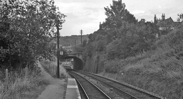
Brimscombe Bridge Halt railway station

Brimscombe Bridge Halt was opened on 1 February 1904 on what is now the Golden Valley Line between Kemble and Stroud. This line was opened in 1845 as the...

Brimscombe & Thrupp F.C.

Brimscombe and Thrupp Football Club is a football club based in Brimscombe, Gloucestershire, England. Affiliated to the Gloucestershire County FA, they...

Minchinhampton Priory

Minchinhampton Priory was a priory in Gloucestershire, England. After the Norman Conquest the manor of Minchinhampton was granted to the Benedictine nuns...

Nailsworth railway station

Nailsworth railway station served the town of Nailsworth in Gloucestershire, England and was the terminus of the 9.3 km-long Stonehouse and Nailsworth...

Nearby Amenities

Located within 500m of 51.711084,-2.2090456
Post Box
Collection Times: Mo-Fr 09:00; Sa 07:00; Su off
Drive Through: no
Operator: Royal Mail
Operator Wikidata: Q638098
Post Box Type: lamp
Postal Code: GL5
Ref: GL5 217D
Royal Cypher: EIIR
Royal Cypher Wikidata: Q33102113
Source: survey
Lat/Long: 51.7122163/-2.2021967
Bus Stop
Stonemasons
Bus: yes
Naptan AtcoCode: 1600GL841
Naptan Bearing: SW
Naptan CommonName: Stonemasons
Naptan NaptanCode: glodgwta
Naptan PlusbusZoneRef: STRUD
Naptan Street: Brimscombe Hill
Naptan Verified: no
Public Transport: platform
Source: naptan_import
Lat/Long: 51.7122089/-2.2024462
Crossing: informal
Lat/Long: 51.7151602/-2.2121059
Crossing: informal
Lat/Long: 51.7084058/-2.2033609
Crossing
Crossing: informal
Lat/Long: 51.7086033/-2.2069544
Waste Basket
Waste: dog_excrement
Lat/Long: 51.7097842/-2.2107142
Information: map
Tourism: information
Type: board
Lat/Long: 51.7098241/-2.210666
Natural: spring
Lat/Long: 51.7124456/-2.2033717
Culver Hill
Ele: 199
Natural: peak
Lat/Long: 51.7096239/-2.2124461
Tom Long's Post
Historic: yes
Lat/Long: 51.7100905/-2.2055366
Bench
Backrest: no
Lat/Long: 51.7101748/-2.2052002
Historic: milestone
Lat/Long: 51.7147422/-2.2119319
Crossing
Crossing: informal
Lat/Long: 51.7092873/-2.2063741
The data included in this document is from www.openstreetmap.org. The data is made available under ODbL.

Have you been to Minchinhampton Common?

Leave your review of Minchinhampton Common below (or comments, questions and feedback).