Whitfield's Tump

Heritage Site in Gloucestershire Stroud

England

Whitfield's Tump

Forner coal merchant's building at Egypt Mill Now converted to provide accommodation for the Egypt Mill Hotel
Forner coal merchant's building at Egypt Mill Credit: Graham Hogg

Whitfield's Tump is a historic site located in Gloucestershire, England. It is a Neolithic burial mound, also known as a long barrow, dating back to around 3,700 BC. The site is situated on a gentle slope in the countryside, providing picturesque views of the surrounding landscape.

The burial mound measures approximately 60 meters in length and is constructed using large stone slabs and earth. It is believed to have been built by the early farming communities of the region as a burial site for their ancestors. The mound was likely used for multiple burials over the course of several centuries.

Excavations conducted in the 19th and 20th centuries revealed the presence of human remains, along with grave goods such as pottery and flint tools. These findings provide valuable insights into the burial practices and material culture of the Neolithic period.

Whitfield's Tump is a designated Scheduled Ancient Monument and a protected heritage site. It is a significant example of Neolithic funerary architecture in the region. The site attracts visitors interested in prehistoric history and archaeology, as well as those seeking to appreciate the tranquil beauty of the countryside.

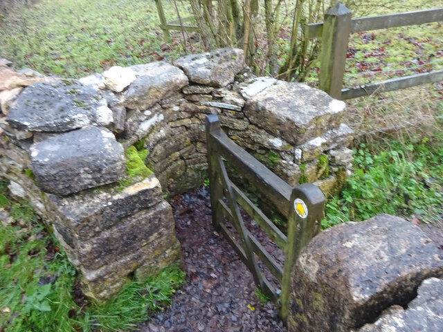
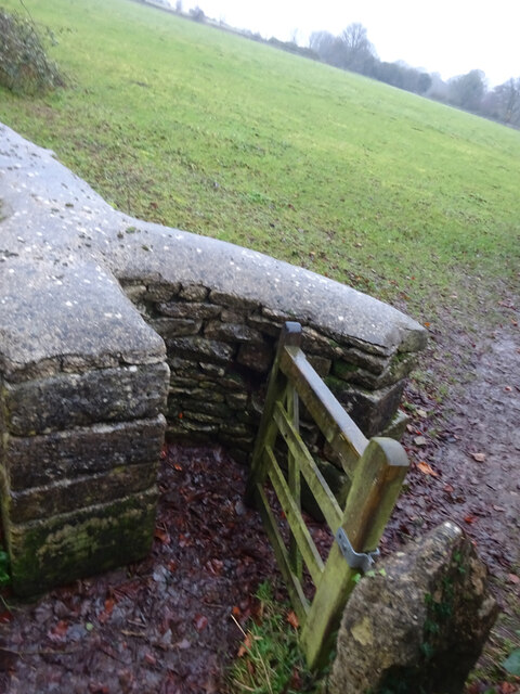
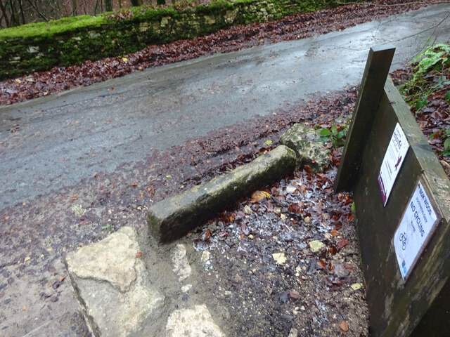
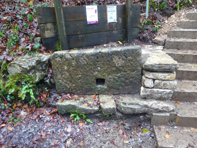
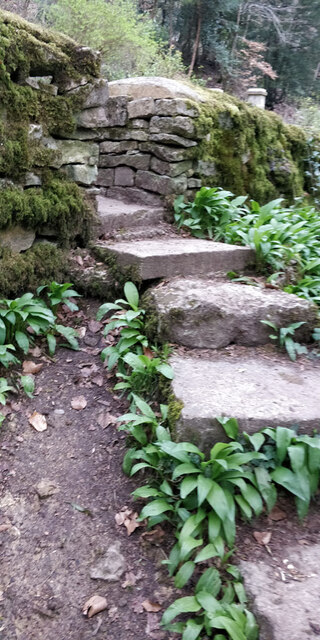
Access to Whitfield's Tump is relatively easy, with a footpath leading up to the mound. Interpretive panels provide information about the site's history and significance. Visitors can explore the area, take in the views, and contemplate the ancient rituals and traditions that took place at this intriguing Neolithic burial site.

If you have any feedback on the listing, please let us know in the comments section below.

Whitfield's Tump Images

Images are sourced within 2km of 51.712/-2.21 or Grid Reference SO8501. Thanks to Geograph Open Source API. All images are credited.

Forner coal merchant's building at Egypt Mill Now converted to provide accommodation for the Egypt Mill Hotel
Forner coal merchant's building at Egypt Mill
Now converted to provide accommodation for the Egypt Mill Hotel
Nailsworth Stream at Egypt Mill Hotel The hotel is a conversion of a former textile mill, one of many in the Nailsworth valley.
Nailsworth Stream at Egypt Mill Hotel
The hotel is a conversion of a former textile mill, one of many in the Nailsworth valley.
The Railway Hotel, Nailsworth The railway here closed in 1966 though passenger services were terminated in 1949 and the grade II listed hotel now provides luxury holiday apartments.
The Railway Hotel, Nailsworth
The railway here closed in 1966 though passenger services were terminated in 1949 and the grade II listed hotel now provides luxury holiday apartments.
Stone Kissing Gate Leading from Box towards equine fields.
Stone Kissing Gate
Leading from Box towards equine fields.
Stone Kissing Gate Between fields on the equine establishment.
Stone Kissing Gate
Between fields on the equine establishment.
Stone Stile, Devil's Elbow As the footpath leaves Box Wood. The view from the road is <a href="https://www.geograph.org.uk/photo/7038355">ST8699 : Stone Stile, Devil's Elbow</a>.
Stone Stile, Devil's Elbow
As the footpath leaves Box Wood. The view from the road is ST8699 : Stone Stile, Devil's Elbow.
Stone Stile, Devil's Elbow As the footpath leaves Box Wood. The view from the footpath is <a href="https://www.geograph.org.uk/photo/7038353">ST8699 : Stone Stile, Devil's Elbow</a>.
Stone Stile, Devil's Elbow
As the footpath leaves Box Wood. The view from the footpath is ST8699 : Stone Stile, Devil's Elbow.
Stone Stile, Nailsworth On Gloucestershire footpath ZNA39 off a road known as "The Devils Elbow". I leads through a continuation woods going SE, "Box Wood" is on the NW side of the road. This view is looking up the steep steps from below, the view from the road is <a href="https://www.geograph.org.uk/photo/75661">H4774 : Killyclogher Burn, Killyclogher</a>.
Stone Stile, Nailsworth
On Gloucestershire footpath ZNA39 off a road known as "The Devils Elbow". I leads through a continuation woods going SE, "Box Wood" is on the NW side of the road. This view is looking up the steep steps from below, the view from the road is H4774 : Killyclogher Burn, Killyclogher.
Stone Stile, Nailsworth On Gloucestershire footpath ZNA39 off a road known as "The Devils Elbow". It leads through a continuation woods going SE, "Box Wood" is on the NW side of the road. This view from the road looks East, the view looking up the steep steps from below is <a href="https://www.geograph.org.uk/photo/7275660">ST8699 : Stone Stile, Nailsworth</a>.
Stone Stile, Nailsworth
On Gloucestershire footpath ZNA39 off a road known as "The Devils Elbow". It leads through a continuation woods going SE, "Box Wood" is on the NW side of the road. This view from the road looks East, the view looking up the steep steps from below is ST8699 : Stone Stile, Nailsworth.
Stone Stile, Box On Gloucestershire footpath MMH97, looking North to Scar Hill (road), the view from the other side is <a href="https://www.geograph.org.uk/photo/7281981">ST8599 : Stone Stile, Box</a>.
Stone Stile, Box
On Gloucestershire footpath MMH97, looking North to Scar Hill (road), the view from the other side is ST8599 : Stone Stile, Box.
Stone Stile, Box On Gloucestershire footpath MMH97, looking East from Scar Hill, the view from the other side is <a href="https://www.geograph.org.uk/photo/7281978">ST8599 : Stone Stile, Box</a>.
Stone Stile, Box
On Gloucestershire footpath MMH97, looking East from Scar Hill, the view from the other side is ST8599 : Stone Stile, Box.
Cattle grid on George Street, Nailsworth Beyond is Smith House.
Cattle grid on George Street, Nailsworth
Beyond is Smith House.
Watledge Road, Nailsworth
The W on Nailsworth Hill
Bracken Lodge on Nailsworth Hill
Watledge Road in Nailsworth
George Street in Nailsworth
The Olive Tree on George Street
Show me another place!

Whitfield's Tump is located at Grid Ref: SO8501 (Lat: 51.712, Lng: -2.21)

Administrative County: Gloucestershire

District: Stroud

Police Authority: Gloucestershire

What 3 Words

///throat.debate.vast. Near Minchinhampton, Gloucestershire

Related Wikis

Minchinhampton Common

Minchinhampton Common (grid reference SO855010) is a 182.7-hectare (451-acre) biological and geological Site of Special Scientific Interest in Gloucestershire...

Amberley, Gloucestershire

Amberley, Gloucestershire is a small village about two miles south of Stroud in Gloucestershire, England. It is situated on the edge of Minchinhampton...

Neu-Lindsey Nature Reserve

Neu-Lindsey Nature Reserve (grid reference SO845014) is a 0.4-hectare (0.99-acre) nature reserve in Gloucestershire. The site is listed in the ‘Stroud...

Box, Gloucestershire

Box is a small village in Gloucestershire, England. It is in the civil parish of Minchinhampton, and is located 3 miles (4.8 km) south of Stroud and 10...

Brimscombe Bridge Halt railway station

Brimscombe Bridge Halt was opened on 1 February 1904 on what is now the Golden Valley Line between Kemble and Stroud. This line was opened in 1845 as the...

Brimscombe & Thrupp F.C.

Brimscombe and Thrupp Football Club is a football club based in Brimscombe, Gloucestershire, England. Affiliated to the Gloucestershire County FA, they...

Woodchester railway station

Woodchester railway station served the villages of Woodchester and Amberley in Gloucestershire, England. It was on the 9.3 km-long Stonehouse and Nailsworth...

Minchinhampton Priory

Minchinhampton Priory was a priory in Gloucestershire, England. After the Norman Conquest the manor of Minchinhampton was granted to the Benedictine nuns...

Nearby Amenities

Located within 500m of 51.712,-2.21
Bus Stop
War Memorial
Naptan AtcoCode: 1600GL105
Naptan Bearing: S
Naptan CommonName: War Memorial
Naptan Indicator: Opp
Naptan NaptanCode: glodgdwj
Naptan PlusbusZoneRef: STRUD
Naptan Street: Rodborough Rd
Naptan Verified: no
Source: naptan_import
Lat/Long: 51.7129115/-2.2168656
Bus Stop
War Memorial
Naptan AtcoCode: 1600GL106
Naptan Bearing: NE
Naptan CommonName: War Memorial
Naptan NaptanCode: glodgdwd
Naptan PlusbusZoneRef: STRUD
Naptan Street: Rodborough Rd
Naptan Verified: no
Source: naptan_import
Lat/Long: 51.7128303/-2.2170244
Crossing: informal
Lat/Long: 51.7151602/-2.2121059
Crossing
Crossing: informal
Lat/Long: 51.7086033/-2.2069544
Waste Basket
Waste: dog_excrement
Lat/Long: 51.7097842/-2.2107142
Information: map
Tourism: information
Type: board
Lat/Long: 51.7098241/-2.210666
Natural: spring
Lat/Long: 51.7124456/-2.2033717
Culver Hill
Ele: 199
Natural: peak
Lat/Long: 51.7096239/-2.2124461
Tom Long's Post
Historic: yes
Lat/Long: 51.7100905/-2.2055366
Bench
Backrest: no
Lat/Long: 51.7101748/-2.2052002
Historic: milestone
Lat/Long: 51.7147422/-2.2119319
Bench
Backrest: yes
Material: wood
Lat/Long: 51.7129706/-2.216692
Waste Basket
Waste: dog_excrement
Lat/Long: 51.7129042/-2.2167651
Bench
Backrest: yes
Material: wood
Lat/Long: 51.7130104/-2.2166633
Shelter
Shelter Type: public_transport
Lat/Long: 51.7129367/-2.2167316
Crossing
Crossing: informal
Lat/Long: 51.7092873/-2.2063741
The data included in this document is from www.openstreetmap.org. The data is made available under ODbL.

Have you been to Whitfield's Tump ?

Leave your review of Whitfield's Tump below (or comments, questions and feedback).