Harper Hill

Settlement in Derbyshire North East Derbyshire

England

Harper Hill

Harperhill Farm Not in a great state of repair and not in current use.
Harperhill Farm Credit: Bill Boaden

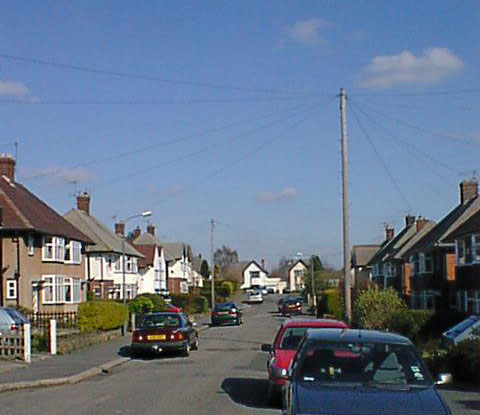
Harper Hill is a small village located in the county of Derbyshire, in the East Midlands region of England. Situated about 6 miles south of the town of Chesterfield, it is nestled amidst the picturesque landscape of the Derbyshire Dales. With a population of approximately 500 residents, Harper Hill offers a tranquil and close-knit community atmosphere.

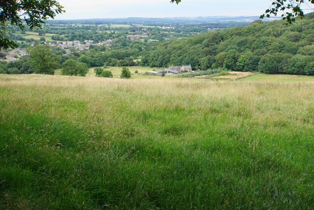
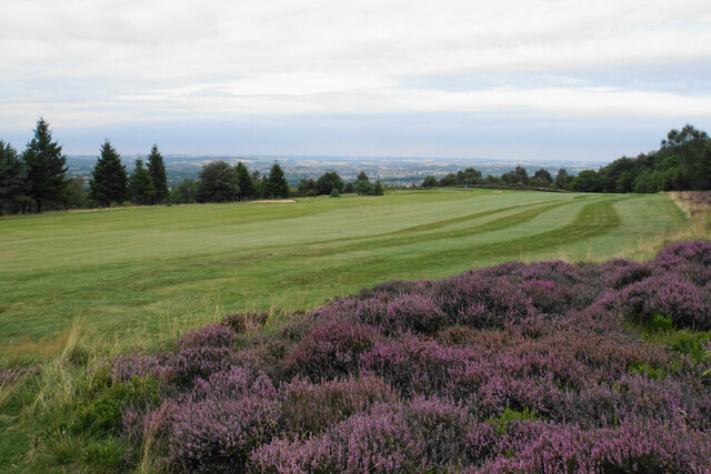
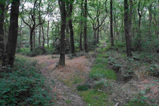
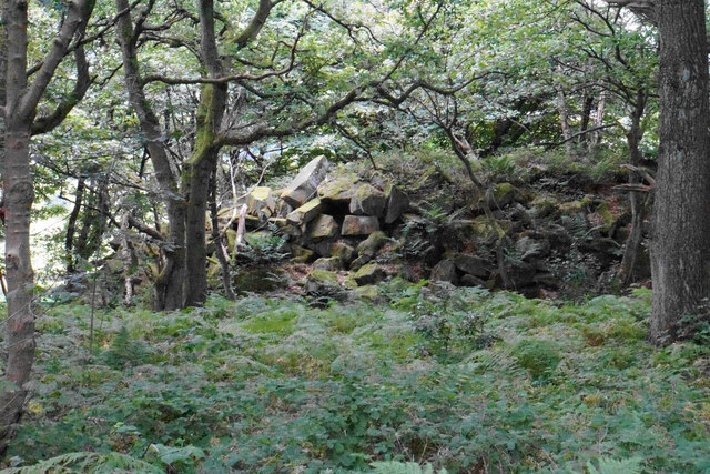
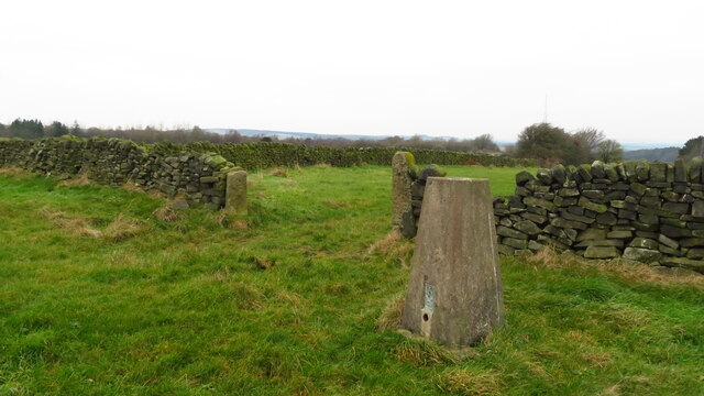
The village is surrounded by rolling hills, lush green fields, and charming countryside views. It benefits from its proximity to the Peak District National Park, renowned for its stunning natural beauty and outdoor recreational opportunities. The park's hiking trails, cycling routes, and rock climbing spots are easily accessible from Harper Hill, attracting outdoor enthusiasts and nature lovers alike.

Harper Hill itself boasts a mix of traditional stone-built houses, modern residences, and historic buildings. The village features a local pub, The Harper Arms, which serves as a hub for social gatherings and community events. The nearby market town of Chesterfield provides residents with a range of amenities, including schools, shops, and healthcare facilities.

The area surrounding Harper Hill is rich in history, with archaeological evidence of human settlement dating back to the Roman era. The village is also known for its connection to the textile industry, which played a significant role in the region's development during the Industrial Revolution.

Overall, Harper Hill offers a peaceful and scenic retreat for those seeking a rural lifestyle, while still benefiting from the conveniences of nearby towns and the natural wonders of the Peak District.

If you have any feedback on the listing, please let us know in the comments section below.
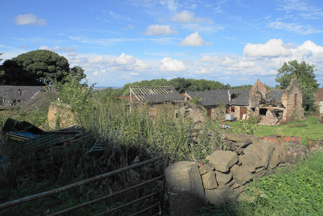
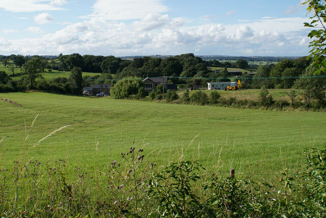
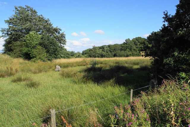
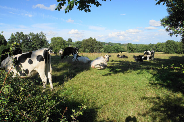
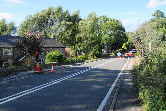
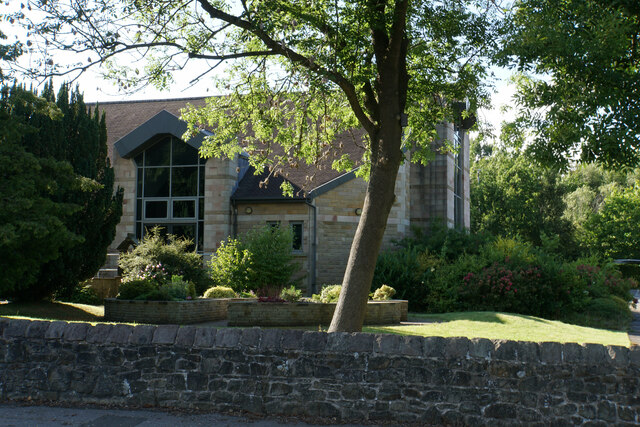
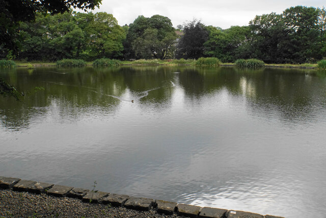
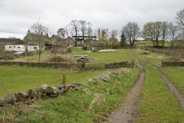
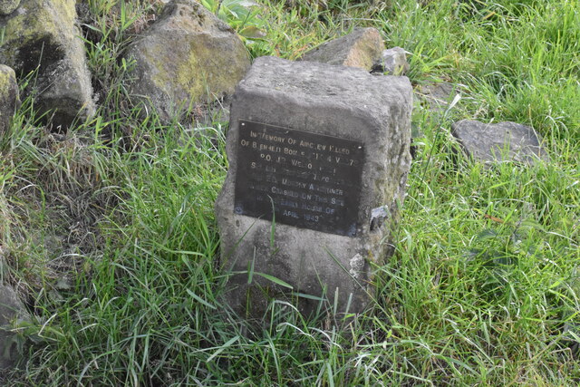
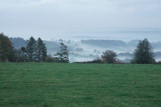
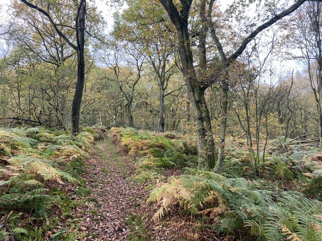
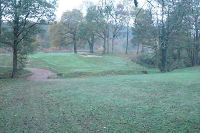
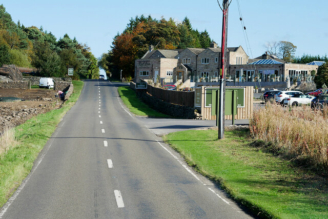
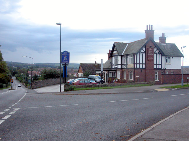
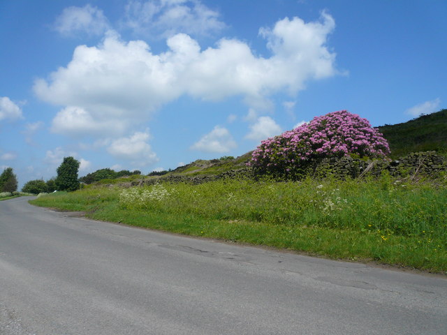
Harper Hill Images

Images are sourced within 2km of 53.206498/-1.474728 or Grid Reference SK3567. Thanks to Geograph Open Source API. All images are credited.

Harperhill Farm Not in a great state of repair and not in current use.
Harperhill Farm
Not in a great state of repair and not in current use.
Farmland below Stoneycroft Lane The farmland is on the gently rising land to the west of Chesterfield.
Farmland below Stoneycroft Lane
The farmland is on the gently rising land to the west of Chesterfield.
Rough grazing land off Stoneycroft Lane The land is sloping up to Harper Hill.
Rough grazing land off Stoneycroft Lane
The land is sloping up to Harper Hill.
Cattle by Matlock Road On the outskirts of the Chesterfield conurbation.
Cattle by Matlock Road
On the outskirts of the Chesterfield conurbation.
Roadworks on Matlock Road The A632 is down to single-lane traffic.
Roadworks on Matlock Road
The A632 is down to single-lane traffic.
St John's Church, Walton Not easily seen from Matlock Road. The main entrance is on the other side, off Walton Back Lane.
St John's Church, Walton
Not easily seen from Matlock Road. The main entrance is on the other side, off Walton Back Lane.
Old Mill Pond Now a fishing pond.
Old Mill Pond
Now a fishing pond.
Hillside above Woodside Farm The village of Holymoorside is in the bottom of the valley.
Hillside above Woodside Farm
The village of Holymoorside is in the bottom of the valley.
Fairway at Stanedge Golf Club One of the fairways crossed by a footpath. Chesterfield is seen on the plain in the distance.
Fairway at Stanedge Golf Club
One of the fairways crossed by a footpath. Chesterfield is seen on the plain in the distance.
Path through Stone Edge Plantation A pleasant and sufficiently airy route through this broad-leaved plantation on former quarry land.
Path through Stone Edge Plantation
A pleasant and sufficiently airy route through this broad-leaved plantation on former quarry land.
Pile of rocks in Stone Edge Plantation A reminder of former quarrying activity.
Pile of rocks in Stone Edge Plantation
A reminder of former quarrying activity.
Spitewinter Trig Point, Derbyshire This trig point is in a remarkably good condition.
Spitewinter Trig Point, Derbyshire
This trig point is in a remarkably good condition.
High Ashes Farm The home of High Ashes Rural Project which primarily presents activities for those with learning disabilities.
High Ashes Farm
The home of High Ashes Rural Project which primarily presents activities for those with learning disabilities.
Wartime air crash memorial near Highashes Lane A Blenheim bomber crashed at this site on 7 April 1943 with the loss of 3 crew.
Wartime air crash memorial near Highashes Lane
A Blenheim bomber crashed at this site on 7 April 1943 with the loss of 3 crew.
Field near Yewfield Farm The eye is drawn to the evening mist on the side of Harper Hill.
Field near Yewfield Farm
The eye is drawn to the evening mist on the side of Harper Hill.
Path through Stone Edge plantation Showing some autumn colour.
Path through Stone Edge plantation
Showing some autumn colour.
Footpath crossing Birdholme Brook The path is passing through the Chesterfield Golf Club course. It is viewed in fading light on a misty autumn afternoon.
Footpath crossing Birdholme Brook
The path is passing through the Chesterfield Golf Club course. It is viewed in fading light on a misty autumn afternoon.
Darley Road, Stone Edge B5057 passing Peak Edge Hotel.
Darley Road, Stone Edge
B5057 passing Peak Edge Hotel.
Show me another place!

Harper Hill is located at Grid Ref: SK3567 (Lat: 53.206498, Lng: -1.474728)

Administrative County: Derbyshire

District: North East Derbyshire

Police Authority: Derbyshire

What 3 Words

///removes.contexts.unscathed. Near Walton, Derbyshire

Related Wikis

Holymoorside

Holymoorside is a village in the civil parish of Holymoorside and Walton, in the North East Derbyshire district, in the county of Derbyshire, England,...

Walton, Chesterfield

Walton is a suburb of Chesterfield, in the Chesterfield district, in the county of Derbyshire, England. Walton extends into the neighbouring North East...

North East Derbyshire

North East Derbyshire is a local government district in Derbyshire, England. The council is based in the large village of Wingerworth. The district also...

Holymoorside and Walton

Holymoorside and Walton is a civil parish within the North East Derbyshire district, which is in the county of Derbyshire, England. Named for its main...

Somersall Hall

Somersall Hall is a small country house near Brampton, Chesterfield, Derbyshire. It is a Grade II listed building.The Clarke family owned the estate in...

Walton Hall, Chesterfield

Walton Hall is a late 18th-century country house, now a farmhouse, situated at Foljambe Avenue, Walton, Chesterfield. It is a Grade II listed building...

Alicehead

Alicehead is a small area of settlement in Derbyshire, England, 9 miles (14 km) south-west of Chesterfield. It consists of four farms and a cottage on...

Ashgate, Derbyshire

Ashgate is an area in northeast Derbyshire, England, west of the town of Chesterfield. It is close to the town centre and local amenities. A leading place...

Nearby Amenities

Located within 500m of 53.206498,-1.474728
Parking
Access: unknown
Description: Private-looking parking area opposite farm
Ele: 193.1091309
Lat/Long: 53.2068839/-1.4674538
Bus Stop
Lodge Cottages
Bus: yes
Public Transport: platform
Lat/Long: 53.2102887/-1.4750866
Bus Stop
Lodge Cottages
Bus: yes
Ele: 176.2861328
Naptan AtcoCode: 1000DWMR3261
Naptan NaptanCode: dbsdgjtw
Public Transport: platform
Lat/Long: 53.2106967/-1.4738447
Ele: 176.2861328
Lat/Long: 53.2104656/-1.4748005
Barrier: cattle_grid
Ele: 176.2861328
Lat/Long: 53.2105278/-1.4747296
Ele: 175
Lat/Long: 53.2105915/-1.474634
Ele: 169
Lat/Long: 53.2108455/-1.4754931
Ele: 158.0212402
Ford: yes
Lat/Long: 53.2027315/-1.4715423
Passing Place
Ele: 160.4245605
Lat/Long: 53.2026371/-1.4720155
Barrier: stile
Material: stone
Steps: 2
Stile: stepover
Lat/Long: 53.2105487/-1.4744787
Ele: 158.0000000
Lat/Long: 53.2027628/-1.4714887
Ele: 158.0000000
Lat/Long: 53.2027628/-1.471545
Ele: 213
Lat/Long: 53.2063367/-1.4722897
Ele: 210
Lat/Long: 53.2063014/-1.4717532
Parking
Lat/Long: 53.2089626/-1.4742758
Lodge Cottages
Bus: yes
Public Transport: stop_position
Lat/Long: 53.2102641/-1.4750687
Lodge Cottages
Bus: yes
Public Transport: stop_position
Lat/Long: 53.2107375/-1.4738794
Bus Stop
High Lane
Bus: yes
Naptan AtcoCode: 1000DWMR3264
Naptan NaptanCode: dbsdgjwg
Public Transport: platform
Lat/Long: 53.2078573/-1.4812865
Bus Stop
High Lane
Bus: yes
Public Transport: platform
Lat/Long: 53.2075891/-1.4816955
High Lane
Bus: yes
Public Transport: stop_position
Lat/Long: 53.2078175/-1.4812382
High Lane
Bus: yes
Public Transport: stop_position
Lat/Long: 53.2076254/-1.4817297
The data included in this document is from www.openstreetmap.org. The data is made available under ODbL.

Have you been to Harper Hill?

Leave your review of Harper Hill below (or comments, questions and feedback).