Gladwin Wood

Wood, Forest in Derbyshire North East Derbyshire

England

Gladwin Wood

Harperhill Farm Not in a great state of repair and not in current use.
Harperhill Farm Credit: Bill Boaden

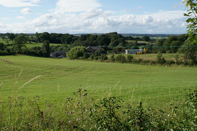
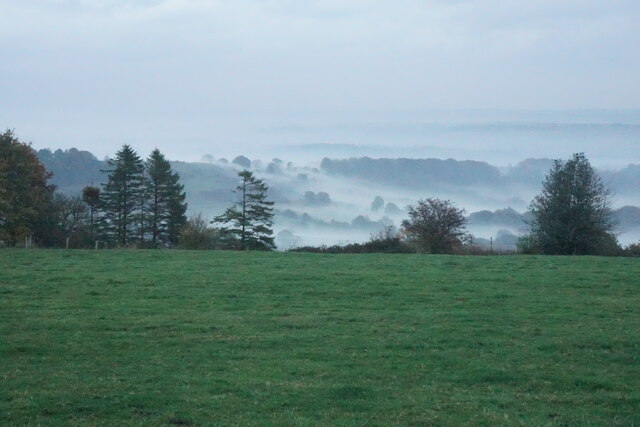
Gladwin Wood is a charming forest located in Derbyshire, England. Spanning approximately 100 acres, this woodland area is known for its picturesque beauty and serene atmosphere. The wood is situated near the village of Winster, offering a delightful escape from the hustle and bustle of city life.

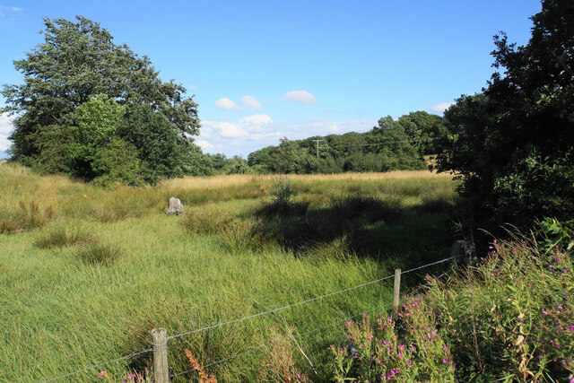
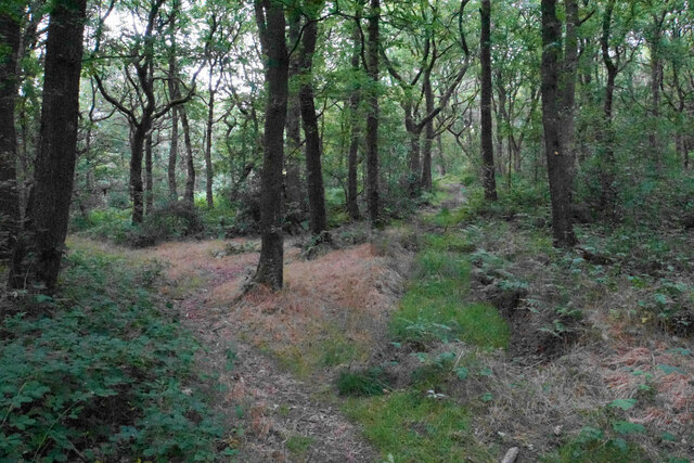
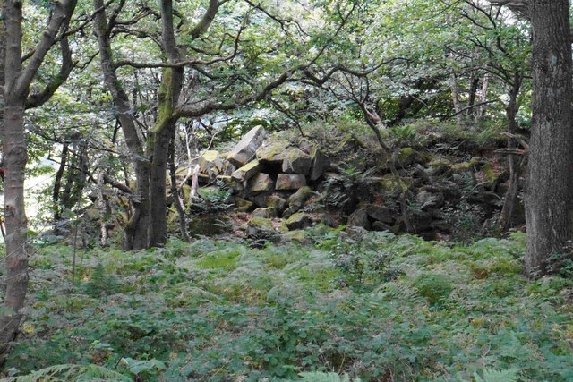
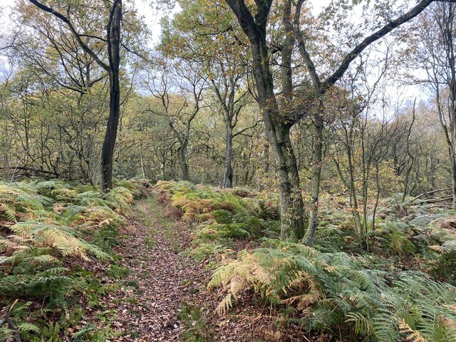
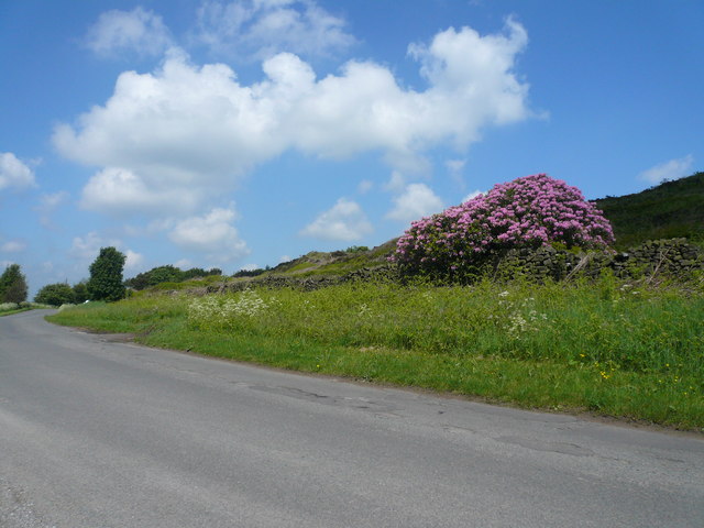
Gladwin Wood is predominantly composed of deciduous trees, including oak, beech, and birch. These majestic trees create a dense canopy, providing shade and shelter for various forms of wildlife that call the forest home. The forest floor is adorned with a vibrant carpet of wildflowers and ferns, adding to the natural beauty of the area.

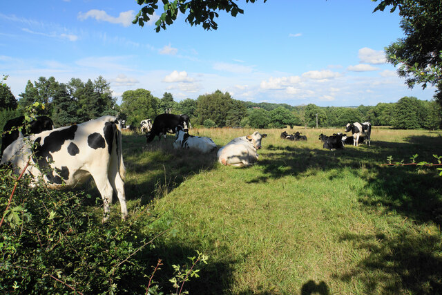
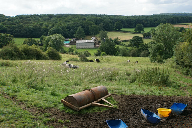
The wood offers a range of walking trails and footpaths, making it a popular destination for nature enthusiasts and hikers. Visitors can explore the tranquil surroundings while admiring the diverse flora and fauna. Birdwatchers will also find Gladwin Wood to be a haven, as it is home to numerous species of birds, including woodpeckers, owls, and songbirds.

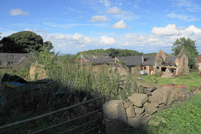
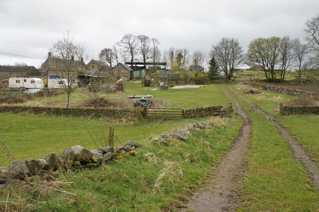
In addition to its natural wonders, Gladwin Wood boasts historical significance. It is believed that the forest has been in existence for centuries, and remnants of ancient stone walls and earthen banks can still be observed, hinting at its past use as agricultural land.

Overall, Gladwin Wood offers a peaceful retreat in the heart of Derbyshire. With its lush vegetation, wildlife, and historical features, it is a place where visitors can reconnect with nature and experience the tranquility of the countryside.

If you have any feedback on the listing, please let us know in the comments section below.
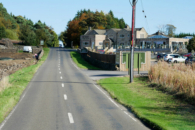
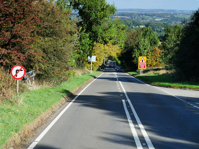
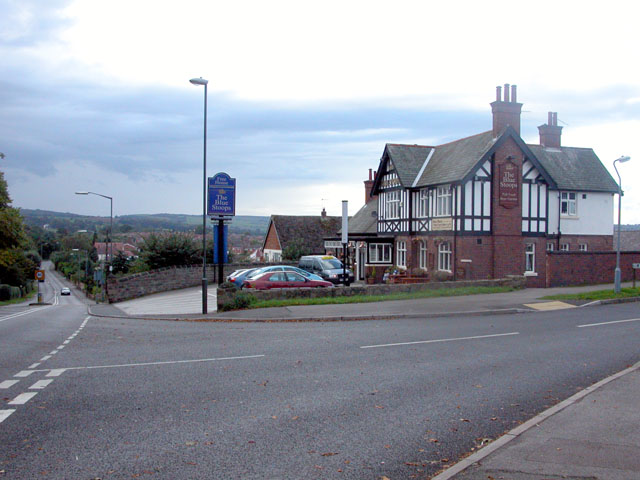
Gladwin Wood Images

Images are sourced within 2km of 53.200659/-1.4714611 or Grid Reference SK3567. Thanks to Geograph Open Source API. All images are credited.

Harperhill Farm Not in a great state of repair and not in current use.
Harperhill Farm
Not in a great state of repair and not in current use.
Farmland below Stoneycroft Lane The farmland is on the gently rising land to the west of Chesterfield.
Farmland below Stoneycroft Lane
The farmland is on the gently rising land to the west of Chesterfield.
Rough grazing land off Stoneycroft Lane The land is sloping up to Harper Hill.
Rough grazing land off Stoneycroft Lane
The land is sloping up to Harper Hill.
Cattle by Matlock Road On the outskirts of the Chesterfield conurbation.
Cattle by Matlock Road
On the outskirts of the Chesterfield conurbation.
Roadworks on Matlock Road The A632 is down to single-lane traffic.
Roadworks on Matlock Road
The A632 is down to single-lane traffic.
St John's Church, Walton Not easily seen from Matlock Road. The main entrance is on the other side, off Walton Back Lane.
St John's Church, Walton
Not easily seen from Matlock Road. The main entrance is on the other side, off Walton Back Lane.
Fairway at Stanedge Golf Club One of the fairways crossed by a footpath. Chesterfield is seen on the plain in the distance.
Fairway at Stanedge Golf Club
One of the fairways crossed by a footpath. Chesterfield is seen on the plain in the distance.
Path through Stone Edge Plantation A pleasant and sufficiently airy route through this broad-leaved plantation on former quarry land.
Path through Stone Edge Plantation
A pleasant and sufficiently airy route through this broad-leaved plantation on former quarry land.
Pile of rocks in Stone Edge Plantation A reminder of former quarrying activity.
Pile of rocks in Stone Edge Plantation
A reminder of former quarrying activity.
Farm paraphernalia above Carr House Farm Looking down from Bole Hill.
Farm paraphernalia above Carr House Farm
Looking down from Bole Hill.
Spitewinter Trig Point, Derbyshire This trig point is in a remarkably good condition.
Spitewinter Trig Point, Derbyshire
This trig point is in a remarkably good condition.
Field below Birkinlane Farm Looking down on the Upper Press Reservoir. I am not sure why the grass in this field is an unnatural yellow colour, but it may be the effect of weedkiller.
Field below Birkinlane Farm
Looking down on the Upper Press Reservoir. I am not sure why the grass in this field is an unnatural yellow colour, but it may be the effect of weedkiller.
High Ashes Farm The home of High Ashes Rural Project which primarily presents activities for those with learning disabilities.
High Ashes Farm
The home of High Ashes Rural Project which primarily presents activities for those with learning disabilities.
Wartime air crash memorial near Highashes Lane A Blenheim bomber crashed at this site on 7 April 1943 with the loss of 3 crew.
Wartime air crash memorial near Highashes Lane
A Blenheim bomber crashed at this site on 7 April 1943 with the loss of 3 crew.
Field near Yewfield Farm The eye is drawn to the evening mist on the side of Harper Hill.
Field near Yewfield Farm
The eye is drawn to the evening mist on the side of Harper Hill.
Path through Stone Edge plantation Showing some autumn colour.
Path through Stone Edge plantation
Showing some autumn colour.
Darley Road, Stone Edge B5057 passing Peak Edge Hotel.
Darley Road, Stone Edge
B5057 passing Peak Edge Hotel.
Matlock Road (A632) The A632 is an important (though non-primary) A-road which runs for 22½ miles between Matlock, in Derbyshire, and Cuckney, in Nottinghamshire, via Chesterfield and Bolsover.
Matlock Road (A632)
The A632 is an important (though non-primary) A-road which runs for 22½ miles between Matlock, in Derbyshire, and Cuckney, in Nottinghamshire, via Chesterfield and Bolsover.
Show me another place!

Gladwin Wood is located at Grid Ref: SK3567 (Lat: 53.200659, Lng: -1.4714611)

Administrative County: Derbyshire

District: North East Derbyshire

Police Authority: Derbyshire

What 3 Words

///level.acrobats.sues. Near Walton, Derbyshire

Related Wikis

Holymoorside

Holymoorside is a village in the civil parish of Holymoorside and Walton, in the North East Derbyshire district, in the county of Derbyshire, England,...

Walton, Chesterfield

Walton is a suburb of Chesterfield, in the Chesterfield district, in the county of Derbyshire, England. Walton extends into the neighbouring North East...

North East Derbyshire

North East Derbyshire is a local government district in Derbyshire, England. The council is based in the large village of Wingerworth. The district also...

Alicehead

Alicehead is a small area of settlement in Derbyshire, England, 9 miles (14 km) south-west of Chesterfield. It consists of four farms and a cottage on...

Holymoorside and Walton

Holymoorside and Walton is a civil parish within the North East Derbyshire district, which is in the county of Derbyshire, England. Named for its main...

Walton Hall, Chesterfield

Walton Hall is a late 18th-century country house, now a farmhouse, situated at Foljambe Avenue, Walton, Chesterfield. It is a Grade II listed building...

Wingerworth

Wingerworth is a large village and parish in North East Derbyshire, England. Its population, according to the 2011 census, was 6,533. Wingerworth is 3...

Somersall Hall

Somersall Hall is a small country house near Brampton, Chesterfield, Derbyshire. It is a Grade II listed building.The Clarke family owned the estate in...

Related Videos

Westside Familia : Glamping - Peak District

Friends are the family you choose. This is a short video of our first trip with Toyo, our 5 month labrador alongside our dear friends ...

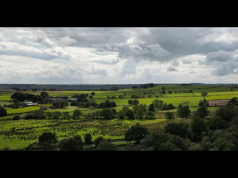
Ashover Rock ("The Fabrick") - Derbyshire. DJI Mini 3 Pro Drone Footage

A glorious morning early August 2022 - how could I even think about staying in bed when there's so much beautiful countryside on ...

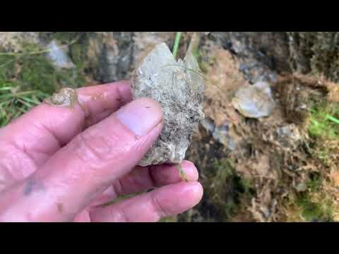
Rockhounding Eldon Quarry

Please join me as I take a look for Calcite and Galena crystals in Eldon Quarry and please look out for falling rocks as part of a cliff ...

Nearby Amenities

Located within 500m of 53.200659,-1.4714611
Barrier: stile
Material: stone
Source: survey
Steps: 2
Stile: stepover
Lat/Long: 53.1969195/-1.4753398
Ele: 158.0212402
Ford: yes
Lat/Long: 53.2027315/-1.4715423
Passing Place
Ele: 160.4245605
Lat/Long: 53.2026371/-1.4720155
Ele: 173.4022217
Lat/Long: 53.2018777/-1.4753248
Ele: 152
Lat/Long: 53.2040416/-1.4679971
Ele: 158.0000000
Lat/Long: 53.2027628/-1.4714887
Ele: 158.0000000
Lat/Long: 53.2027628/-1.471545
Barrier: stile
Steps: 4
Stile: wall
Lat/Long: 53.2028508/-1.4694579
The data included in this document is from www.openstreetmap.org. The data is made available under ODbL.

Have you been to Gladwin Wood?

Leave your review of Gladwin Wood below (or comments, questions and feedback).