Crow Wood

Wood, Forest in Yorkshire Hambleton

England

Crow Wood

Arable fields near Crabtree Farm Looking across farmland north of Kirby Wiske.
Arable fields near Crabtree Farm Credit: DS Pugh

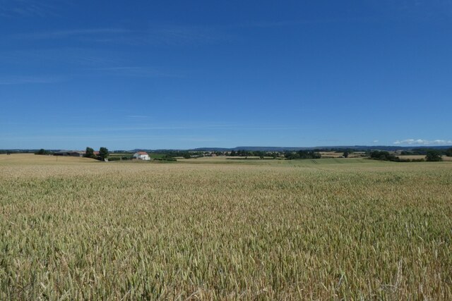
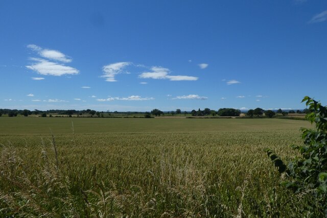
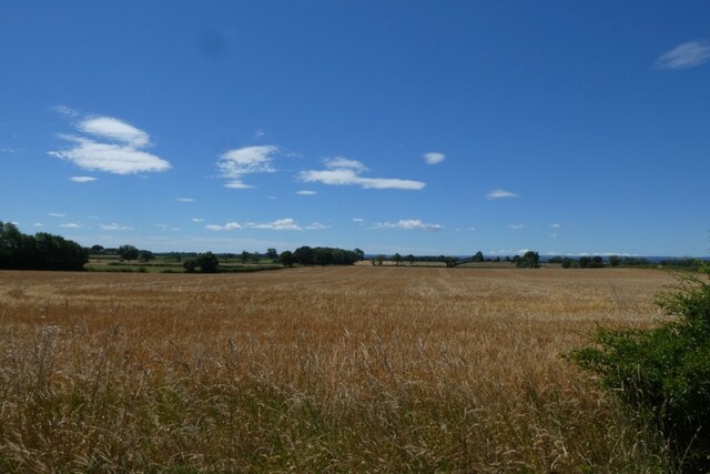
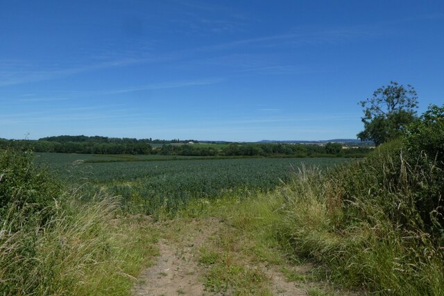
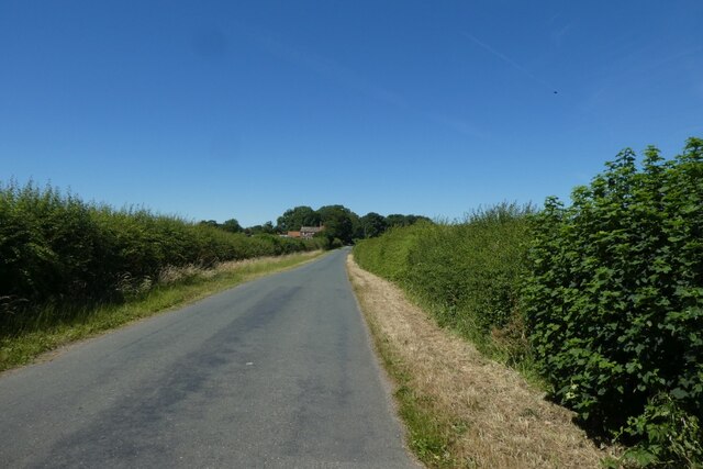
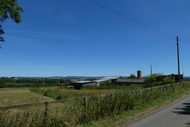
Crow Wood is a picturesque forest located in the county of Yorkshire, England. It covers an area of approximately 500 acres and is renowned for its natural beauty and diverse wildlife. The wood is situated on the outskirts of a small village, providing a peaceful and tranquil environment for visitors to enjoy.

The forest is predominantly composed of deciduous trees, such as oak, beech, and ash, creating a dense canopy that filters sunlight and casts shadows on the forest floor. This creates a cool and shaded atmosphere, perfect for leisurely walks and exploration. The wood is home to a rich variety of flora and fauna, including rare species such as the lesser spotted woodpecker and the silver-washed fritillary butterfly.

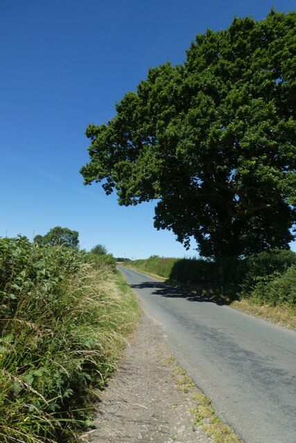
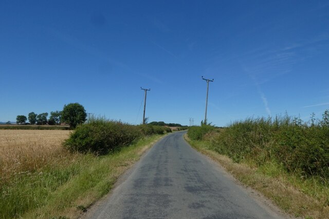
Several well-marked trails wind their way through Crow Wood, catering to both casual strollers and avid hikers. These paths offer opportunities to witness the wood's natural splendor up close, with vibrant wildflowers lining the trails in the spring and summer months. Additionally, the forest is crisscrossed by a meandering stream, adding to its idyllic charm.

The wood is a popular destination for nature enthusiasts, photographers, and families alike. It offers a range of activities, from birdwatching and wildlife spotting to picnicking and photography. Local authorities have also established designated picnic areas and viewpoints, providing visitors with convenient spots to relax and take in the woodland scenery.

In conclusion, Crow Wood in Yorkshire is a captivating forest that showcases the beauty of nature in all its glory. With its diverse vegetation, abundant wildlife, and tranquil atmosphere, it is a must-visit location for those seeking a peaceful escape and a chance to connect with the natural world.

If you have any feedback on the listing, please let us know in the comments section below.
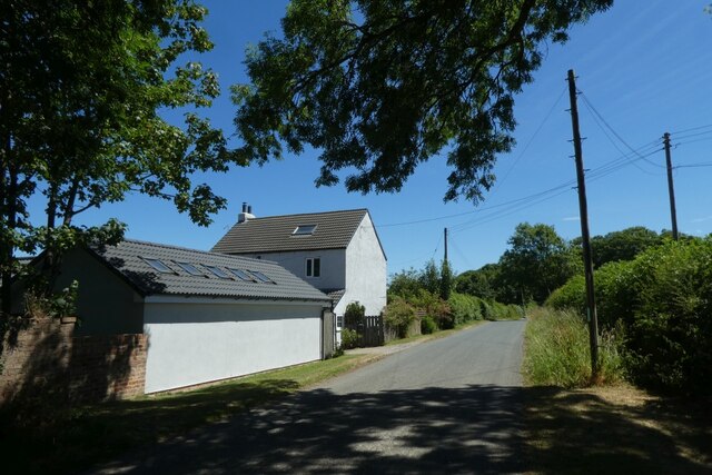
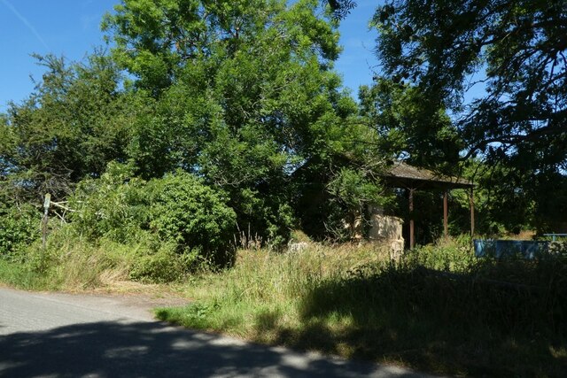
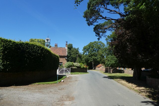
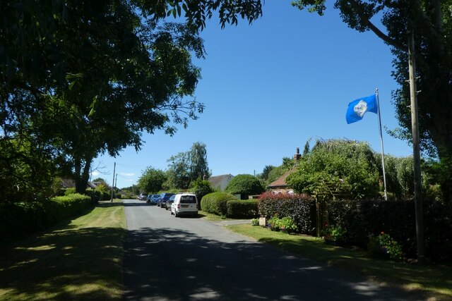
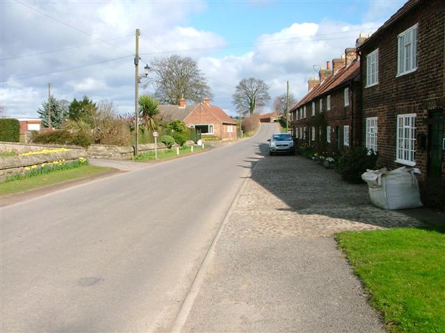
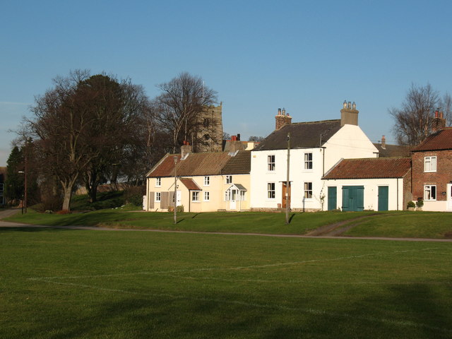
Crow Wood Images

Images are sourced within 2km of 54.270828/-1.4578539 or Grid Reference SE3586. Thanks to Geograph Open Source API. All images are credited.

Arable fields near Crabtree Farm Looking across farmland north of Kirby Wiske.
Arable fields near Crabtree Farm
Looking across farmland north of Kirby Wiske.
Fields near Kirby Wiske Looking across cereal crops on a hot Sunday in July.
Fields near Kirby Wiske
Looking across cereal crops on a hot Sunday in July.
Road between Kirby and Maunby Looking along the road in the direction of Maunby on a hot Sunday in July.
Road between Kirby and Maunby
Looking along the road in the direction of Maunby on a hot Sunday in July.
Electric poles beside the road Looking along the road from Kirby Wiske in the direction of Maunby on a hot Sunday in July.
Electric poles beside the road
Looking along the road from Kirby Wiske in the direction of Maunby on a hot Sunday in July.
Field south of Brickyard Farm Looking across cereal crops on a hot Sunday in July.
Field south of Brickyard Farm
Looking across cereal crops on a hot Sunday in July.
Field near Greystone Looking into an arable field on the road between Kirby Wiske and Maunby.
Field near Greystone
Looking into an arable field on the road between Kirby Wiske and Maunby.
Road near Greystone Looking along the road from Kirby Wiske in the direction of Maunby on a hot Sunday in July.
Road near Greystone
Looking along the road from Kirby Wiske in the direction of Maunby on a hot Sunday in July.
Farm buildings at Greystone Looking along the road from Kirby Wiske in the direction of Maunby on a hot Sunday in July.
Farm buildings at Greystone
Looking along the road from Kirby Wiske in the direction of Maunby on a hot Sunday in July.
Fields at Greystone Looking towards some farm buildings along the road between Kirby Wiske and Maunby on a hot Sunday in July.
Fields at Greystone
Looking towards some farm buildings along the road between Kirby Wiske and Maunby on a hot Sunday in July.
Rose Cottage Looking towards a cottage along the road between Kirby Wiske and Maunby on a hot Sunday in July.
Rose Cottage
Looking towards a cottage along the road between Kirby Wiske and Maunby on a hot Sunday in July.
Barn in the trees Looking towards a farm building along the road between Kirby Wiske and Maunby on a hot Sunday in July.
Barn in the trees
Looking towards a farm building along the road between Kirby Wiske and Maunby on a hot Sunday in July.
Road near Maunby Hall Looking along the road between Kirby Wiske and Maunby on a hot Sunday in July.
Road near Maunby Hall
Looking along the road between Kirby Wiske and Maunby on a hot Sunday in July.
Yorkshire Flag in Maunby Looking through the village situated to the east of the River Swale.
Yorkshire Flag in Maunby
Looking through the village situated to the east of the River Swale.
Maunby Village Looking through the village situated to the east of the River Swale.
Maunby Village
Looking through the village situated to the east of the River Swale.
Village green in Maunby Looking across the village green in Maunby. The village is situated to the east of the River Swale.
Village green in Maunby
Looking across the village green in Maunby. The village is situated to the east of the River Swale.
Pickeringmoor Lane Looking along a lane in Maunby towards the Methodists Church.
Pickeringmoor Lane
Looking along a lane in Maunby towards the Methodists Church.
Maunby Gates Looking towards the former gatebox on the Harrogate - Ripon - Northallerton line.
Maunby Gates
Looking towards the former gatebox on the Harrogate - Ripon - Northallerton line.
Trackbed of the former railway Looking along part of the former Northallerton to Harrogate via Ripon line. The former line is now used as a path to reach the bridge over the River Swale.
Trackbed of the former railway
Looking along part of the former Northallerton to Harrogate via Ripon line. The former line is now used as a path to reach the bridge over the River Swale.
Show me another place!

Crow Wood is located at Grid Ref: SE3586 (Lat: 54.270828, Lng: -1.4578539)

Division: North Riding

Administrative County: North Yorkshire

District: Hambleton

Police Authority: North Yorkshire

What 3 Words

///spring.confusion.reflected. Near Northallerton, North Yorkshire

Related Wikis

Maunby

Maunby is a village and civil parish in the Hambleton district of North Yorkshire, England, about six miles south of Northallerton and on the River Swale...

Swainby with Allerthorpe

Swainby with Allerthorpe is a civil parish in the Hambleton district of North Yorkshire, England. The population of the civil parish at the 2011 census...

Newby Wiske

Newby Wiske is a village and civil parish in the Hambleton district of North Yorkshire, England. It is situated on the River Wiske, about five miles north...

Newby Wiske railway station

Newby Wiske railway station served the village of Newby Wiske, North Yorkshire, England from 1852 to 1963 on the Leeds-Northallerton Railway. == History... ==

South Otterington

South Otterington is a village and civil parish in the Hambleton district of North Yorkshire, England. It is located on the A167 road 5 miles (8 km) south...

Kirby Wiske

Kirby Wiske is an English village and civil parish in the Hambleton District of North Yorkshire. It lies beside the River Wiske, about 4 miles (6.4 km...

St John the Baptist's Church, Kirby Wiske

St John the Baptist's Church, Kirby Wiske is a Grade II* listed parish church in the Church of England: 212  in Kirby Wiske, North Yorkshire. == History... ==

Pickhill

Pickhill is a village in North Yorkshire, England, 6 miles (10 km) west of Thirsk. It is a part of the civil parish of Pickhill with Roxby. == History... ==

Nearby Amenities

Located within 500m of 54.270828,-1.4578539
Maunby
Place: village
Source: npe
Lat/Long: 54.2720884/-1.4620103
Post Box
Operator: Royal Mail
Post Box Type: lamp
Ref: YO7 14
Lat/Long: 54.2732052/-1.4594269
Barrier: stile
Lat/Long: 54.2673882/-1.4593323
Barrier: stile
Lat/Long: 54.2715821/-1.4621498
Grit Bin
Lat/Long: 54.2728111/-1.4573682
Bench
Backrest: yes
Material: wood
Seats: 4
Lat/Long: 54.2713794/-1.4646936
Maunby War Memorial
Historic: memorial
Material: stone
Lat/Long: 54.2725122/-1.4613919
Waste Basket
Lat/Long: 54.2725277/-1.4609606
Bench
Backrest: yes
Material: wood
Seats: 4
Lat/Long: 54.2724693/-1.4614617
Waste Basket
Waste: dog_excrement
Lat/Long: 54.2718232/-1.4646074
Generator Method: photovoltaic
Generator Output Electricity: yes
Generator Source: solar
Generator Type: solar_photovoltaic_panel
Power: generator
Lat/Long: 54.2710604/-1.4642009
Generator Method: photovoltaic
Generator Output Electricity: yes
Generator Source: solar
Generator Type: solar_photovoltaic_panel
Power: generator
Lat/Long: 54.271109/-1.4642748
Generator Method: photovoltaic
Generator Output Electricity: yes
Generator Source: solar
Generator Type: solar_photovoltaic_panel
Power: generator
Lat/Long: 54.2713465/-1.4634014
Defibrillator
Emergency: defibrillator
Lat/Long: 54.2720838/-1.4619222
The data included in this document is from www.openstreetmap.org. The data is made available under ODbL.

Have you been to Crow Wood?

Leave your review of Crow Wood below (or comments, questions and feedback).